
Place · 0.1 mi away
Easy
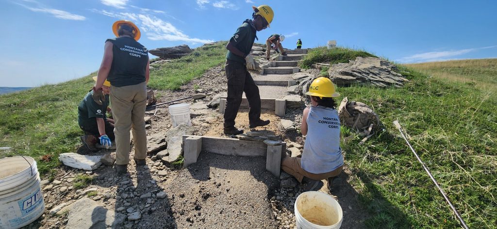
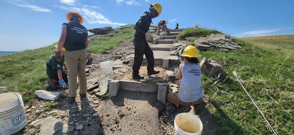
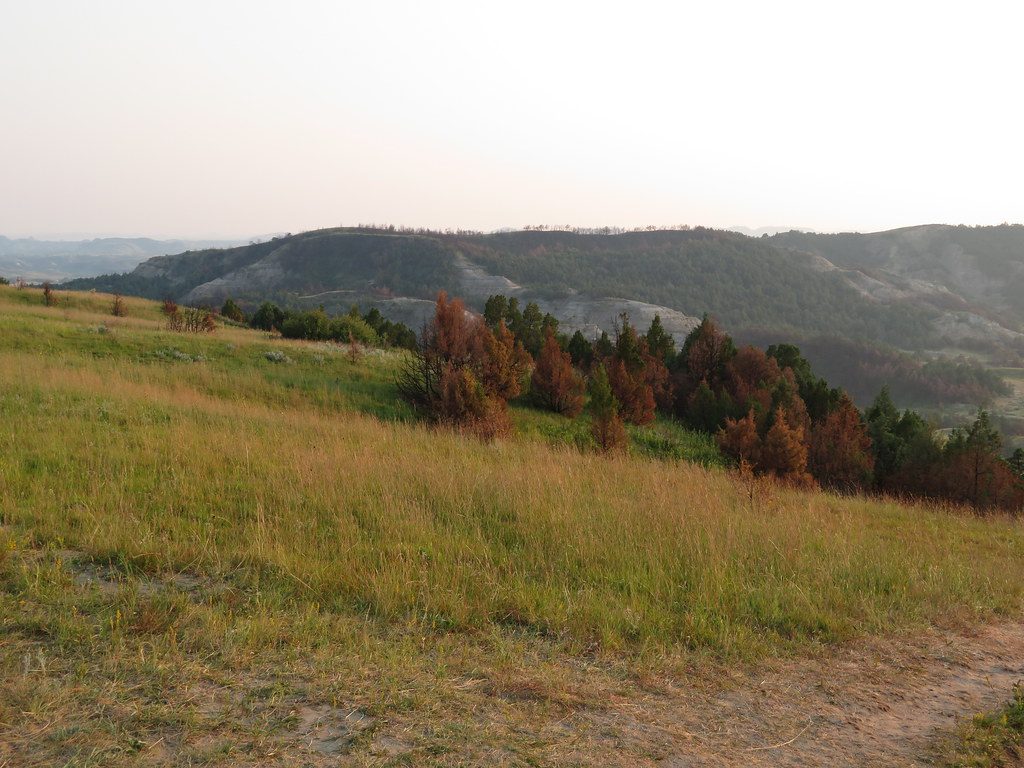
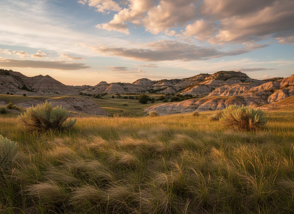
Buck Hill is a quick, high-reward climb to one of the South Unit’s highest viewpoints. Expect huge badlands vistas in every direction—classic North Dakota big sky, layered buttes, and rolling prairie. It’s a favorite quick stop if you’re cruising the Scenic Loop Road and want maximum views for minimal effort.
This is an out-and-back of about 0.4 miles total with roughly 55–65 feet of gain. Figure 10–15 minutes for the up-and-down. The lower portion is paved, then it turns to dirt and rock near the top with uneven footing and a few steps. If you want a touch more, you can wander along the ridge from the summit for broader sightlines—just stay aware of exposure and drop-offs.
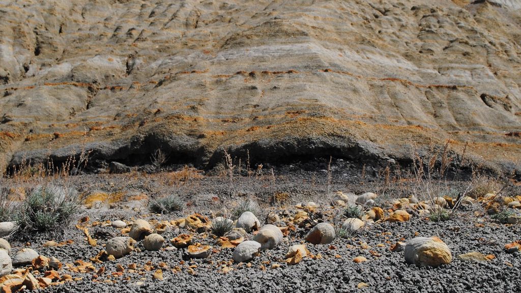
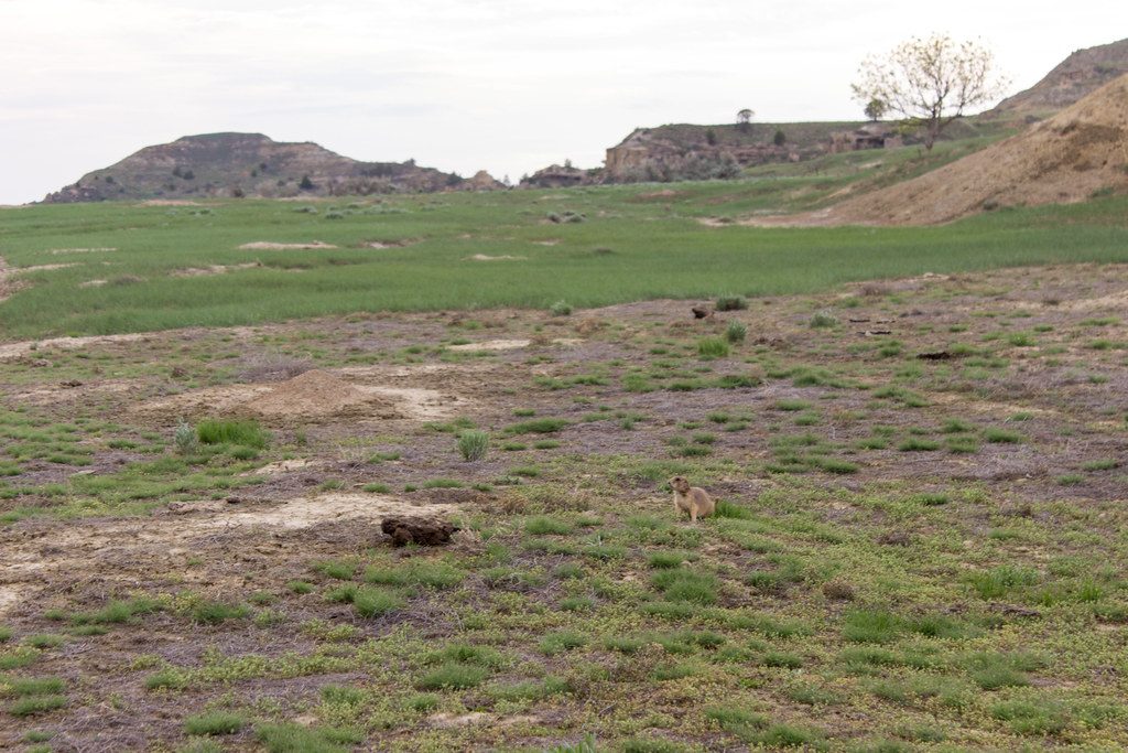
From the summit you get a sweeping 360-degree panorama—on clear days you can pick out landmarks across the South Unit. It’s superb at sunrise or sunset, and the open horizon also makes this an excellent dark-sky stargazing stop. While you’re up there, look for subtle ripple marks in the summit rocks—evidence of an ancient streambed. Wildlife is often part of the show; sightings can include wild horses and bison, and you may also spot pronghorn or mountain bluebirds in the surrounding grasslands.
Trailhead access is off the South Unit’s Scenic Loop Road via Buck Hill Road. There’s a small, signed parking area at the end; turnover is quick. There are no toilets or water here and cell service is typically poor, so arrive prepared. Wear sturdy shoes—the top has uneven rock and some edges. This hill is fully exposed and often windy; bring sun protection and a wind layer. In winter or shoulder seasons, the paved section can get icy. If you leave the main path, watch for rattlesnakes, prickly pear cactus, and ticks. Pets aren’t allowed on park trails (service animals excepted), and this trail is for foot travel only.
Spring and fall usually bring the friendliest temperatures and softer light. In summer, go early or late to avoid heat and harsh midday glare; sunrise and sunset are stellar here. After dark, come prepared with a red-light headlamp if you’re staying to stargaze.
Small signed lot at the end of Buck Hill Road off the South Unit Scenic Loop Road; quick turnover, no toilets or water.
Fully exposed and often windy with steep edges near the top; watch for rattlesnakes, cactus spines, and ticks if you leave the path. Paved lower section can be icy in winter. Limited cell service and no water or toilets.
Place · 0.1 mi away
Place · 2.1 mi away
Place · 2.2 mi away
Place · 2.6 mi away
Easy · 0.6 mi away
Moderate · 1 mi away
Moderate · 2 mi away
Easy · 2.1 mi away

Parkwolf Tour Guide
