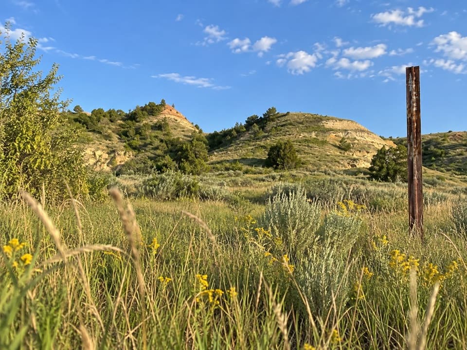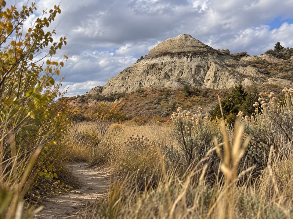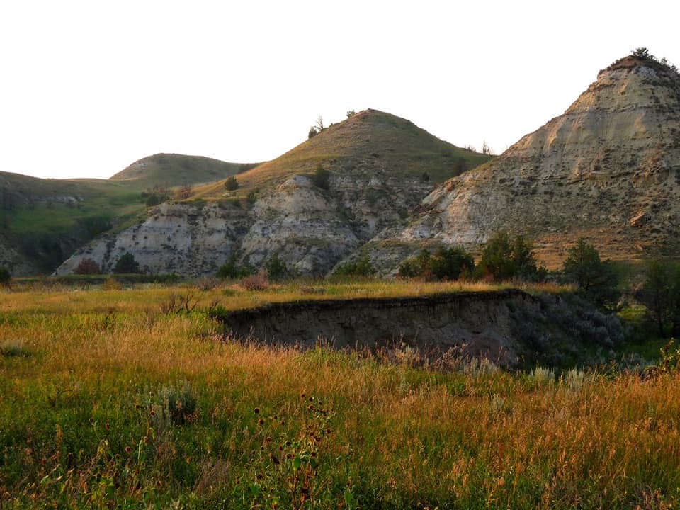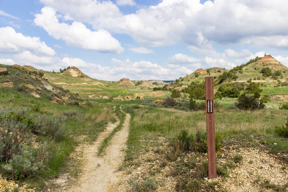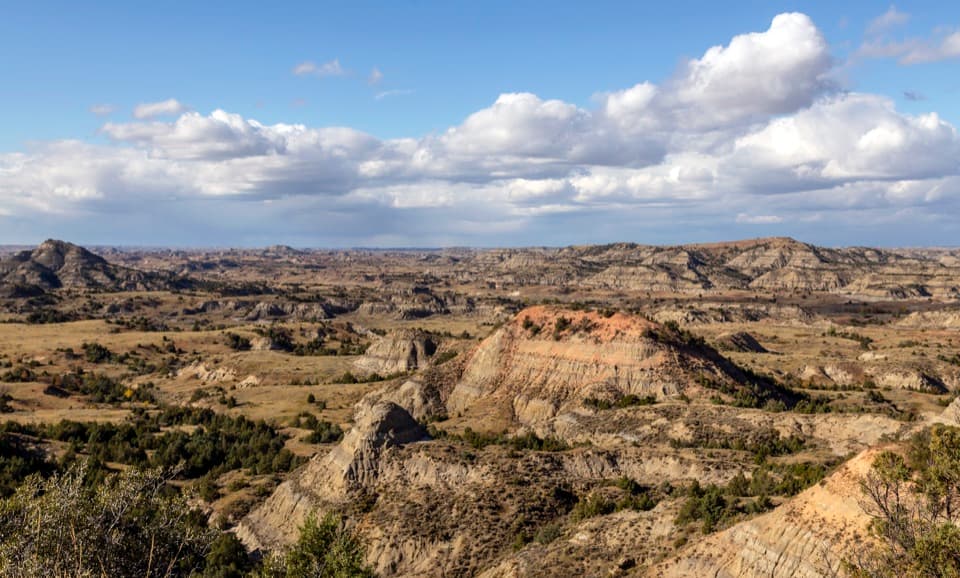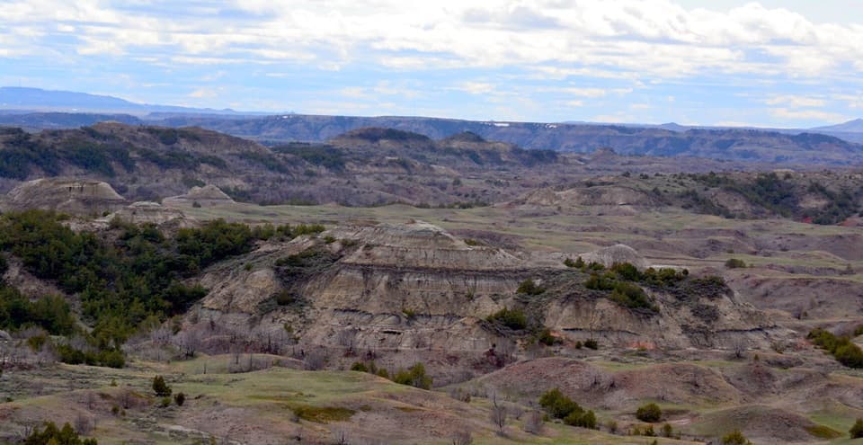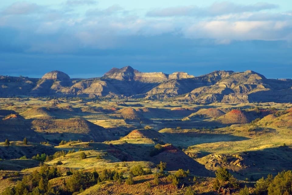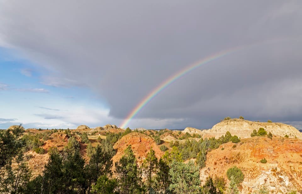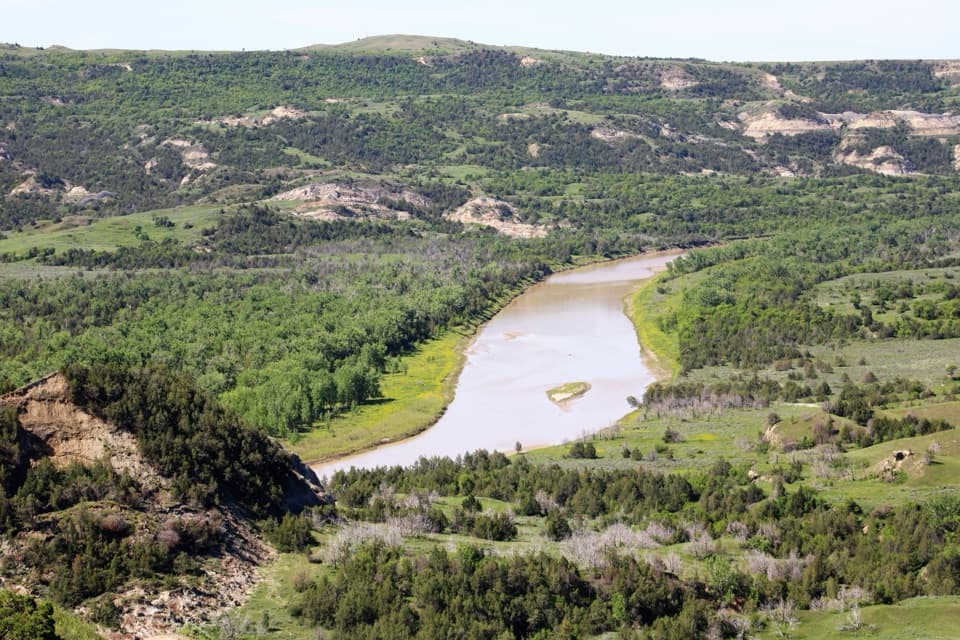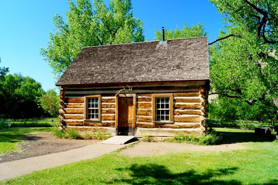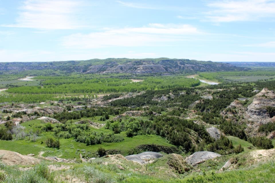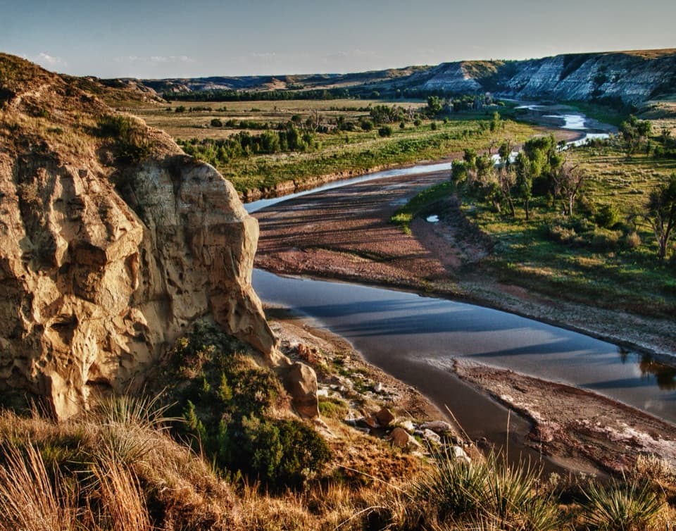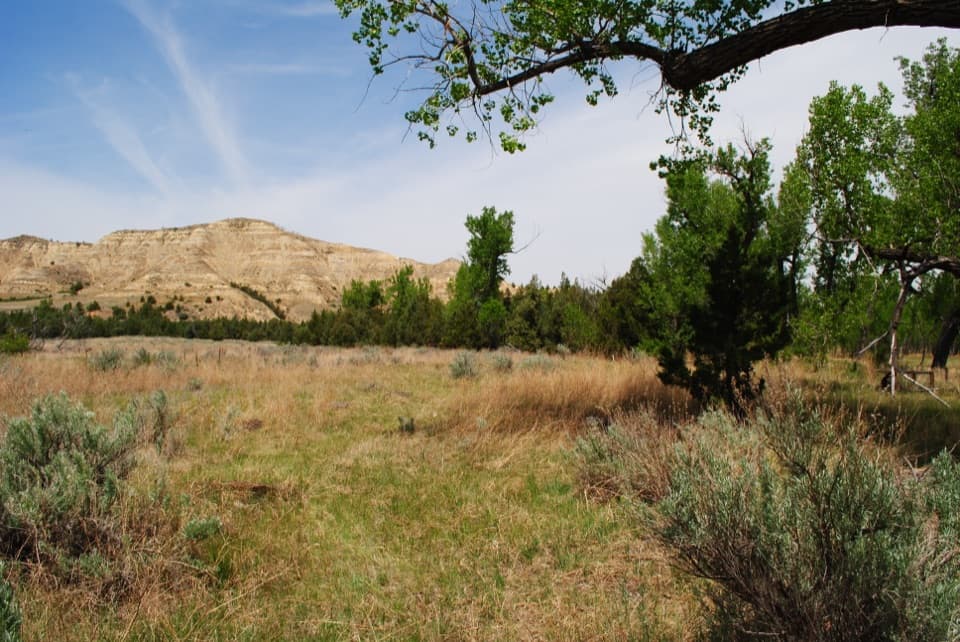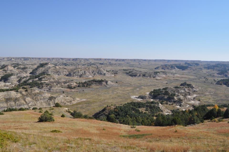
Buck Hill in Theodore Roosevelt National Park

#9 of 26 sights in Theodore Roosevelt

Sight · Theodore Roosevelt National Park

Buck Hill

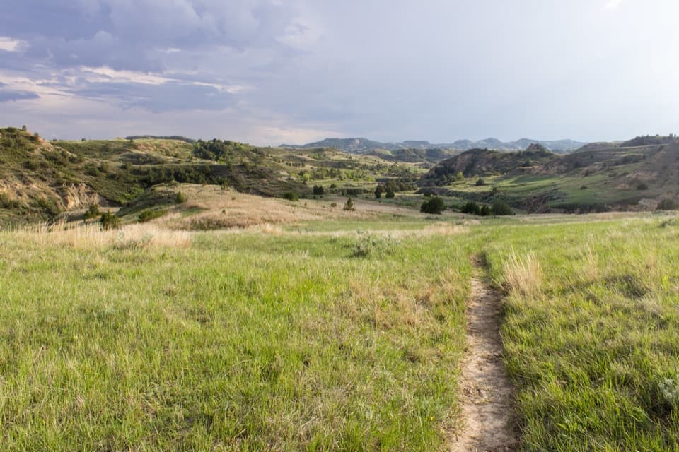
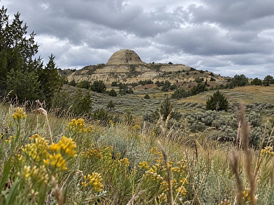
A steep 15-minute climb opens to a full Badlands panorama.

Photo: National Park Service
Type
Sight
Nearest trail
Right here
Audio stories
6 nearby
  • Trailhead
  • Parking
  • Scenic viewpoint
  • Exhibit

Hear the audio tour

Buck Hill: Ripple Marks at the Summit

Overview

About Buck Hill

Why stop

  • A 360-degree Badlands view for a brief hike.
  • Ripple marks in the summit rock make the geology easy to spot.

Heads up

  • The short approach is steep, with steps and uneven footing.

Map

Where it is

Loading the Theodore Roosevelt map
Full map
SightBuck Hill46.92644, -103.39000
Keep this map with you offline in the Parkwolf app

Plan your stop

Before you go

2 active Theodore Roosevelt alerts

  • ClosureRidgeline Nature Trail inaccessibleThe South Unit’s 0.6-mile Ridgeline Nature Trail is currently inaccessible because of a road collapse. Check current park conditions.Official details
  • InfoPetrified Forest trailhead: use approved routeUse the approved legal route from I-94, Exit 10 toward Camels Hump Lake, and follow the clearly marked posts to the Petrified Forest trailhead.Official details

Theodore Roosevelt alerts
A park ranger sits on a dash-mounted phone, talking, as Parkwolf’s Tour Guide plays “Army Cutworm Moths: A Grizzly Bear Buffet” on Grand Loop Road below Dunraven Pass in Yellowstone
Parkwolf Tour GuideThe highest, rockiest slopes around here are a summer buffet for grizzly bears.

Theodore Roosevelt Tour Guide

Your drive to Buck Hill, narrated.

Parkwolf is a GPS audio tour guide for Theodore Roosevelt National Park. As you drive, it chimes in with what’s ahead: hidden gems, upcoming stops, history, geology, and wildlife, right through your car’s speakers.

See the Theodore Roosevelt audio tour

Recorded for this place

Buck Hill: Ripple Marks at the Summit
0:00 / 0:23
“You're approaching Buck Hill, where a short climb gives you a full-circle badlands view. Allow fifteen to thirty minutes for the steep walk up and back, with steps and uneven dirt near the top.”

Plays as you drive up to Buck Hill in the Parkwolf Theodore Roosevelt Tour Guide.

More stories near here in the app

  • Coal Vein Trail: The Ground Above the Fire
  • Chorus Frogs at Coal Vein
  • Talkington Trailhead: A Half-Day Walk
  • A View Through Our Galaxy
  • 45 audio storiesacross Theodore Roosevelt’s roads, triggered by GPS as you drive
  • Wildlife heatmapsfor Bison, Wild Horse, Wapiti, and 13 more
  • Works offlinemaps, 38 trails, 35 places, and audio download before you lose signal
  • CarPlay readysimple controls built for the drive
★★★★★
“Fantastic app with many points of information… It’s great to just turn on while you’re driving and it gives you an audio tour of the national Park. We love it!!!!”
JMJamesApp Store review
Download Parkwolf on the App StoreGet Parkwolf on Google Play

4.7 from 8,600+ ratings

Guide

More about Buck Hill

A short climb to a high pointBuck Hill is a summit lookout and one of the highest points in the South Unit.

Buck Hill is a summit lookout and one of the highest points in the South Unit. A short, steep climb opens onto a full-circle Badlands view, so it’s a good choice if you want a big landscape without taking on a long hike. Budget about 15 minutes; this is a real uphill walk, not a flat roadside viewpoint.

Turn through the panoramaOn a clear day, the view reaches from Painted Canyon toward Boicourt and beyond.

On a clear day, the view reaches from Painted Canyon toward Boicourt and beyond. Turn all the way around before settling on a frame. The ripple-marked stone near your feet makes a more specific foreground than another shot of sky.

Read the summit rockThe exposed rock carries ripple marks from an ancient streambed.

The exposed rock carries ripple marks from an ancient streambed. Look across the flatter stone near the top; these small patterns are easy to miss when the horizon has your attention. Their scale makes the hill’s much older landscape visible underfoot.

Watch the grassland for elkElk are most often seen feeding in open grassland around Buck Hill early or late in the day.

Elk are most often seen feeding in open grassland around Buck Hill early or late in the day. Those are your best times to scan the area, though wildlife sightings are never guaranteed.

Getting to the topTake the one-mile spur from the South Unit Scenic Drive, about 18 miles into the drive.

Take the one-mile spur from the South Unit Scenic Drive, about 18 miles into the drive. The trail starts by a small roundabout, begins paved, then turns to dirt, with steps and uneven footing near the top. Bad weather can make the climb slippery, and pets aren’t allowed on the trail.

A few useful detailsThere’s auto parking and interpretive information at the trailhead.

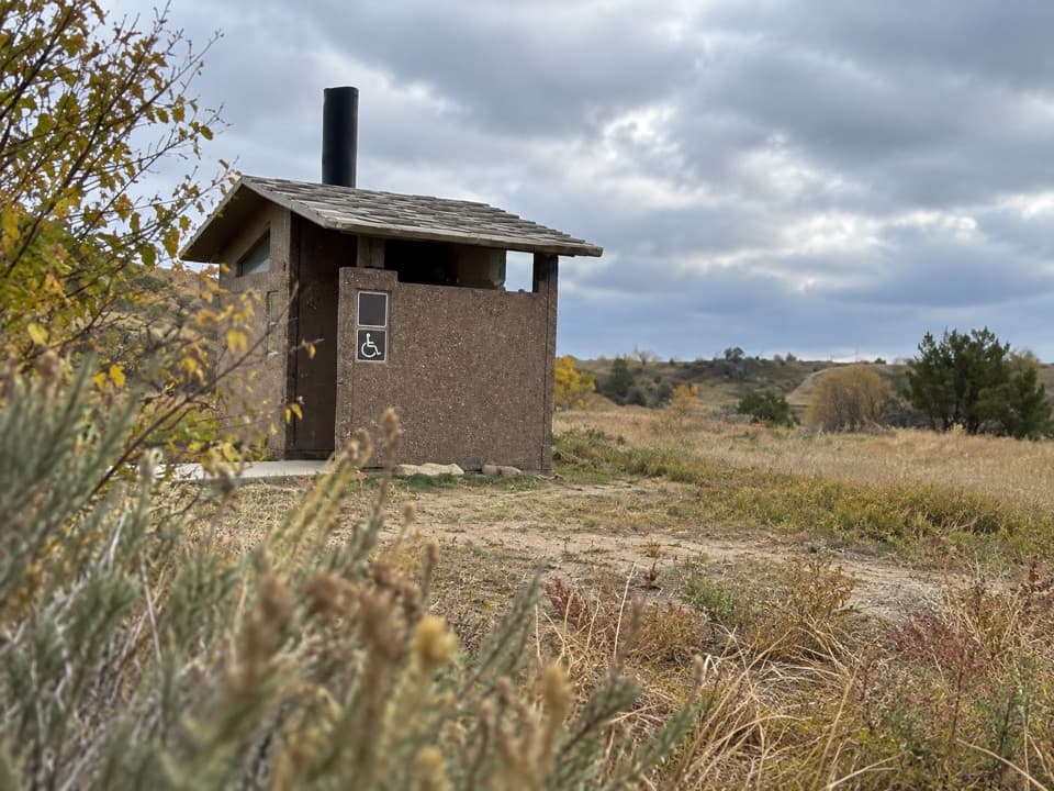
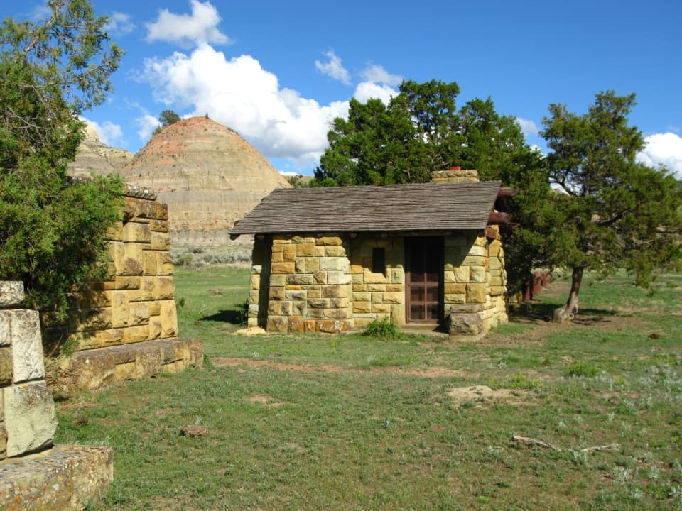
There’s auto parking and interpretive information at the trailhead. An accessible restroom is along the drive near the road to Buck Hill, not at the summit. The hike needs no reservation or separate activity fee, though park entrance fees may apply. The open hilltop is also a good place to stargaze when skies are clear.

Wildlife

Wildlife in Theodore Roosevelt

All Theodore Roosevelt wildlife maps

Sighting maps show where each species has been reported across Theodore Roosevelt. Wildlife moves, so no sighting is guaranteed.

Keep exploring

Near Buck Hill

See it all on the map

Trails nearby

More stops nearby

Parkwolf’s Theodore Roosevelt ranking

Top sights in Theodore Roosevelt

All 35 places
  1. 1River Bend OverlookSight
  2. 2Painted Canyon Overlook and Visitor CenterSight
  3. 3Maltese Cross CabinSight
  4. 4Oxbow OverlookSight
  5. 5Wind CanyonSight
  6. 6Elkhorn Ranch Cabin SiteSight

Take Parkwolf to Theodore Roosevelt.

The audio tour guide for the drive, plus offline maps, trails, and wildlife heatmaps for when the signal drops.

4.7 from 8,600+ ratings

Download Parkwolf on the App StoreGet Parkwolf on Google Play