
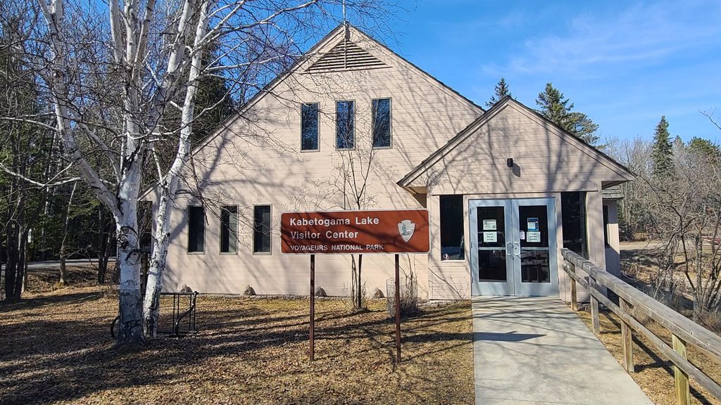
Place · 0 mi away

Rainy Lake is the park’s giant—about 60 miles long with 227,604 acres of water and 929 miles of shoreline. Only roughly one‑third of the lake lies inside the park, but that portion alone includes around 200 islands, a maximum depth of 161 feet, and big horizons. The lake straddles the U.S.–Canada border and is best reached near International Falls and Ranier, with the lakeside facilities on Black Bay acting as the main jumping‑off point.
Expect wide‑open water, forested islands, and rugged granite shorelines. From the Black Bay area you’ll look across to the Kabetogama Peninsula and a maze of channels and coves. Common sights on and around the water include bald eagles, loons, beavers, and river otters, with black bears inhabiting the surrounding woods.
This is a water‑first destination: motorboating, canoeing, kayaking, fishing, and scenic cruising dominate summer. If you’re planning a multi‑lake adventure, the short Gold Portage lets paddlers and hikers connect Rainy Lake with Kabetogama Lake. In winter, conditions permitting, the area shifts to snowshoeing, cross‑country skiing, snowmobiling, and even driving designated ice roads.
At the Rainy Lake access on Black Bay you’ll find what you need to get on the water: a boat ramp, canoe/kayak/small‑boat launch, and dock/pier. On‑site conveniences include potable drinking water, seasonal restrooms, benches, trash receptacles and dumpster, and maps. Parking accommodates autos, boat trailers, and buses/RVs. You may also encounter aquatic invasive species inspections before launching. There’s beach/water access if you just want to dip a toe and take in the view.
Late July through mid‑August tends to bring warmer water and fewer biting insects. Mornings are typically calmer for paddling and photography; weekdays are quieter than weekends. Fall colors can be gorgeous but expect cooler water and, later in the season, the removal of many navigation buoys. Winter delivers solitude and unique ice‑based travel when conditions allow.
Most of Rainy’s magic is only reachable by boat; plan accordingly. Weather can change fast and open water can get windy—bring layers, proper safety gear, and solid navigation tools. AIS inspections can add time at launch. In shoulder seasons, cold water is a real hazard; in late fall, fewer markers make route‑finding trickier. Grab a map before you shove off and give yourself generous daylight for island‑hopping.
Place · 0 mi away
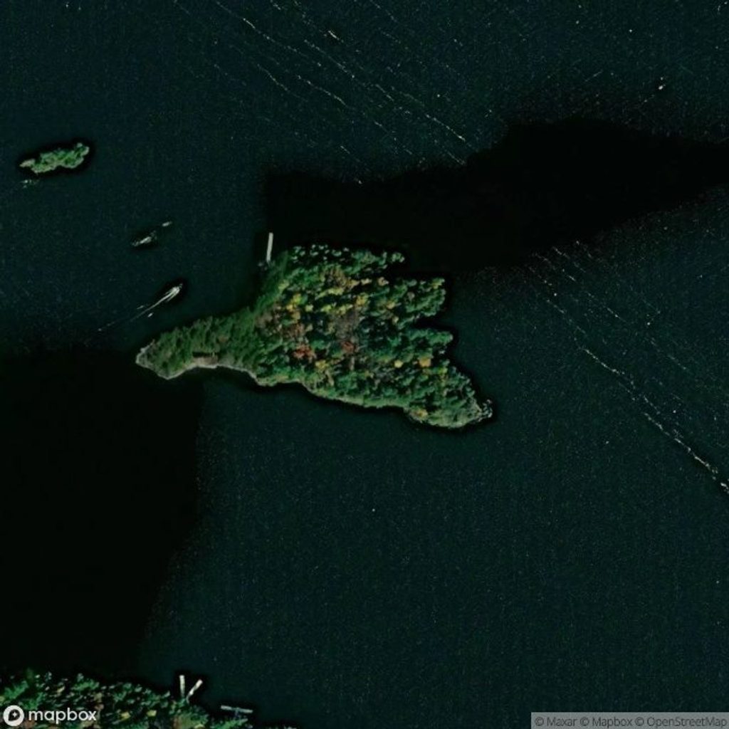
Place · 1.3 mi away
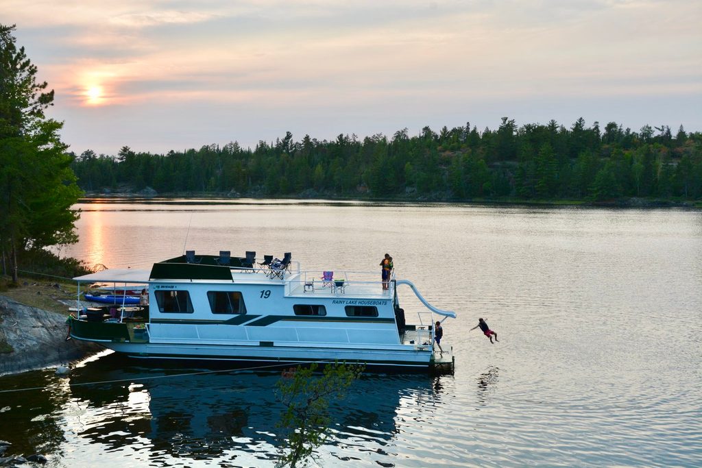
Place · 1.7 mi away
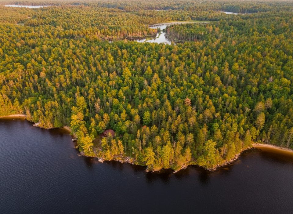
Place · 1.8 mi away
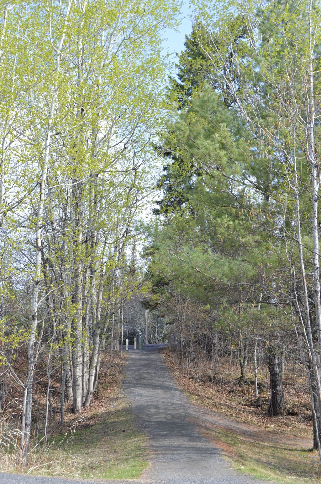
Easy · 0 mi away
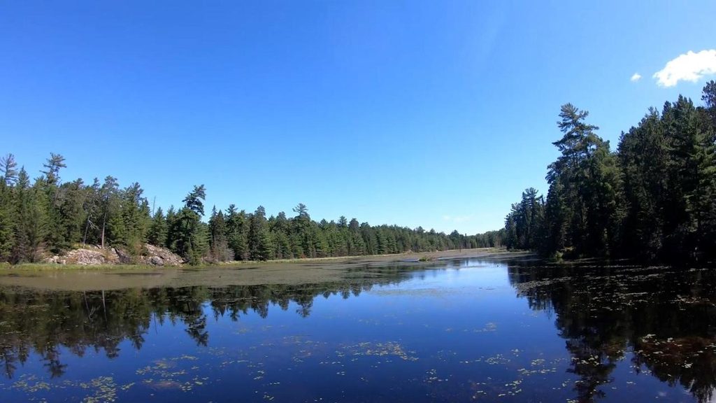
Moderate · 0.1 mi away
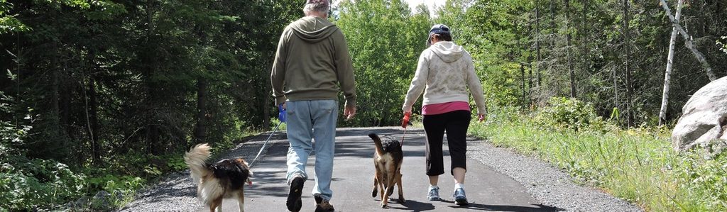
Easy · 0.1 mi away
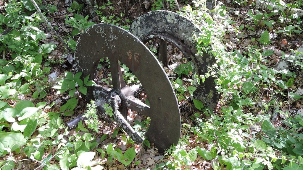
Easy · 1.3 mi away

Parkwolf Tour Guide
