Parking
Start at the Black Bay day-use dock, reached by boat from Rainy Lake Visitor Center, about one mile away. The trailhead itself has no road access.

#8 of 19 trails in Voyageurs
Voyageurs National Park, MN
A boat-in walk over rocky ridges to an active beaver pond.
Overview
Map & elevation
Plan your hike

The highest, rockiest slopes around here are a summer buffet for grizzly bears.
Voyageurs Tour Guide
Parkwolf is a GPS audio tour guide for Voyageurs National Park. As you drive, it chimes in with what’s ahead: hidden gems, upcoming stops, history, geology, and wildlife, right through your car’s speakers.
Recorded for this area
Rainy Lake Visitor Center and Garden“You’re coming up on Rainy Lake Visitor Center, a good stop for exhibits, ranger advice, and a walk beside Black Bay.”
Plays on the road 0.7 mi from the trailhead in the Parkwolf Voyageurs Tour Guide.
More stories near here in the app
“Fantastic app with many points of information… It’s great to just turn on while you’re driving and it gives you an audio tour of the national Park. We love it!!!!”


Trail guide
Black Bay Beaver Pond Trail is a 1.2-mile round-trip walk on Kabetogama Peninsula, from a day-use dock through northern pines and deciduous woods, over rock ridges, to an active beaver pond. Reaching the trail is part of the outing: the dock is about a one-mile boat trip from Rainy Lake Visitor Center. Allow 30 to 60 minutes on foot. This suits visitors already planning a boat outing who want a short destination walk; getting to the dock takes more planning than the mileage suggests.
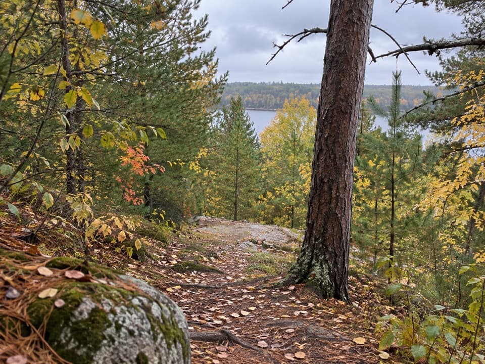
Walk from the dock to the pond overlook and return along the same path. The tread is narrow dirt with rocks and roots, mostly small ups and downs with a few short, steep climbs and descents. It is brief, but not a flat stroll. Other ski trails cross the area, so stay with the hiking markers instead of continuing onto the surrounding loops.
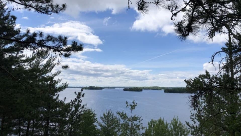
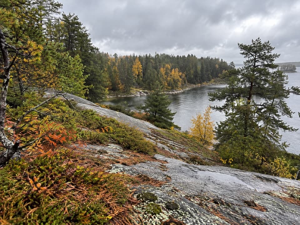
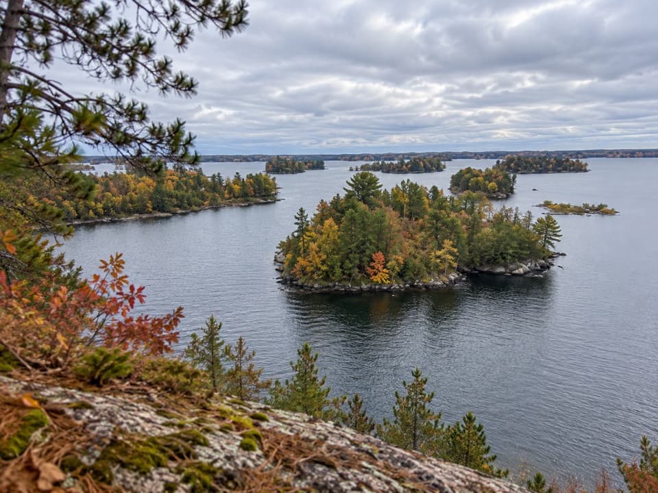
The destination is an overlook above a scenic, active beaver pond; treat the pond as the payoff, not a promise of seeing beavers. Sunny rock outcrops add a change of scene to the forest walk. A July 2016 visit found blueberries and flowering harebells on those outcrops; regard them as a seasonal possibility, not a guaranteed display. From the overlook, include some wooded shoreline in a photo so the frame shows the pond's setting.
Wildlife
 10 sightingsGray WolfMost seen around 7 PMSighting map
 12 sightingsMooseMost seen around 7 AMSighting map
 67 sightingsBald EagleMost seen around 10 AMSighting map
 79 sightingsLoonMost seen around 6 AMSighting map
 41 sightingsWhite PelicanMost seen around 8 AMSighting map
 19 sightingsTrumpeter SwanMost seen around 6 PMSighting map
Sighting maps show where each species has been reported across Voyageurs. Wildlife moves, so no sighting is guaranteed.
Keep exploring
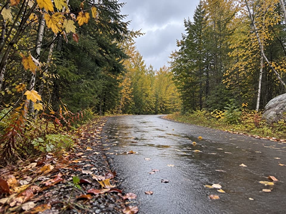 EasyRainy Lake Recreation Trail3.5 mi · 1.5 hr · 0.6 mi awayEasy pavement, rock outcrops, and forest, lake, and marsh views.
 EasyVoyageurs' Tilson Connector Trail2.5 mi · 1.3 hr · 0.6 mi awayA wooded link from the visitor center to state trails.
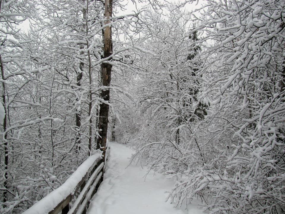 EasyOberholtzer Trail1.6 mi · 1.1 hr · 0.6 mi awayAn easy forest loop through marsh and two modest bay overlooks.
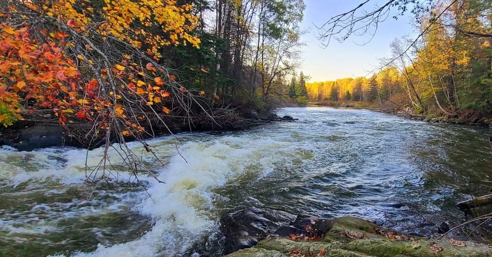 EasyGold Portage Trail0.4 mi · 18 min · 5.2 mi awayA short portage links Kabetogama and Black Bay.
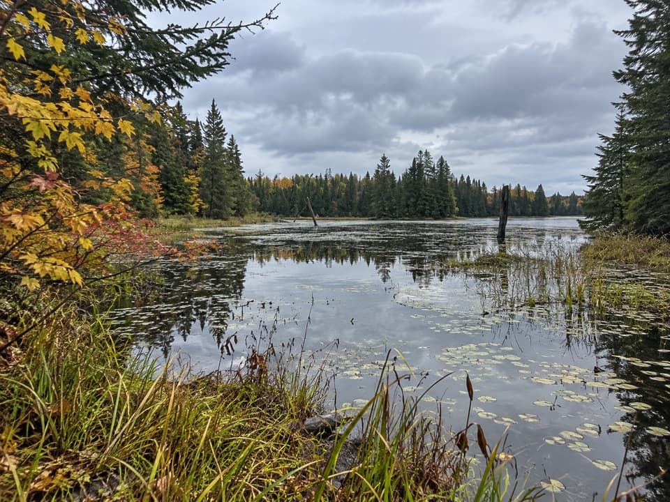 ChallengingLocator Lake Trail4 mi · 3.5 hr · 7.1 mi awayA rugged, boat-access hike to a quiet inland lake.
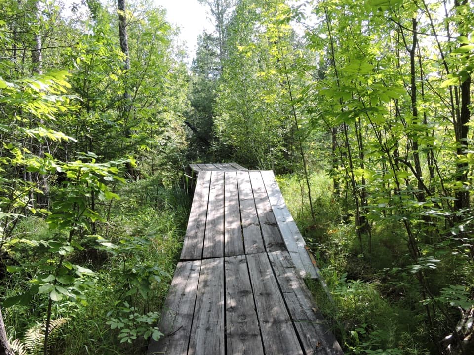 EasyEcho Bay Trail2.5 mi · 1.5 hr · 9.4 mi awayA quiet loop through beaver wetlands and a modest overlook.
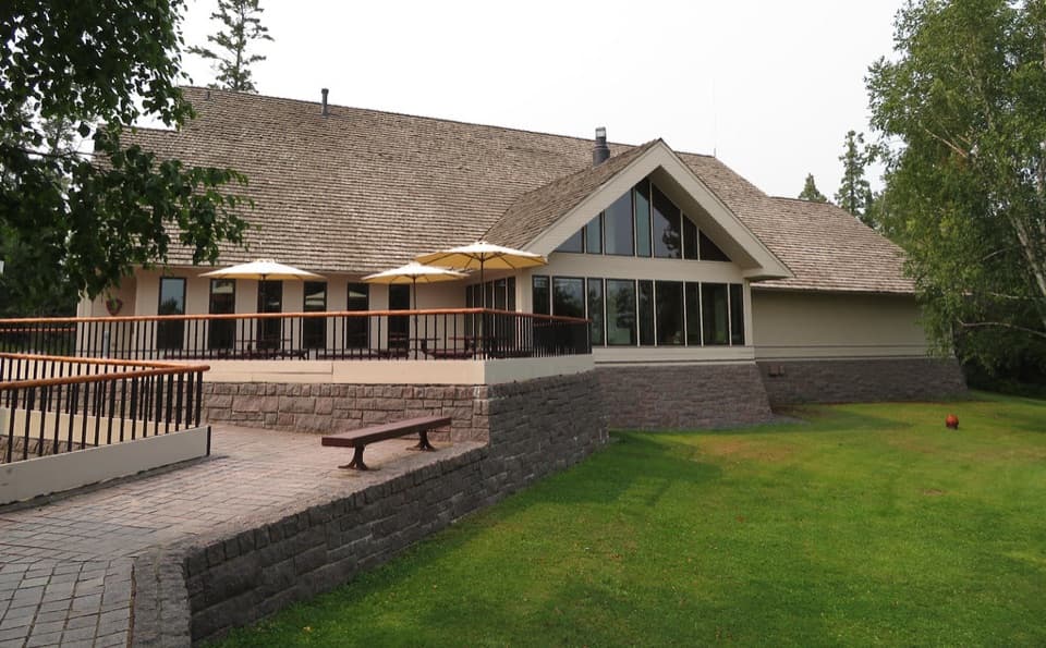 Visitor center · 0.6 mi awayRainy Lake Visitor CenterA useful first stop for ranger help, exhibits, and lake walks.
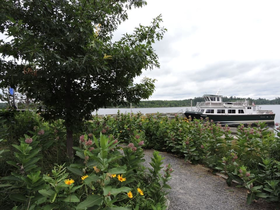 Sight · 0.6 mi awayRainy Lake Ethnobotanical GardenA short garden walk ties native plants to Ojibwe knowledge.
 Sight · 1.1 mi awayLittle American IslandA short boat-only walk through Rainy Lake’s gold-rush ruins.
 Picnic area · 1.8 mi awayHarrison Bay East Day-Use AreaA simple picnic break on Rainy Lake, reached by boat.
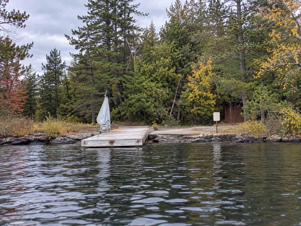 Picnic area · 3.1 mi awayLittle Cedar Island Day-Use AreaA boat-in picnic stop on Rainy Lake beside a floating dock.
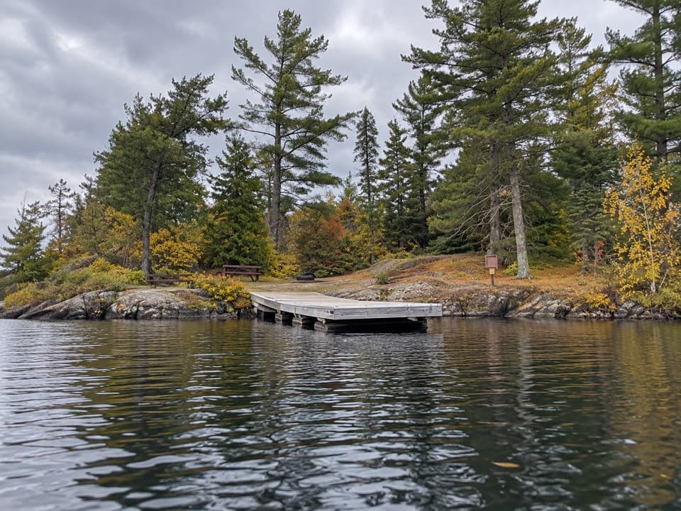 Picnic area · 3.5 mi awayDrywood Island Day-Use AreaA simple picnic landing on Voyageurs' Rainy Lake.
 Picnic area · 4.4 mi awayDiamond Island Central Day-Use AreaA sandy shore break for a day on Rainy Lake.
 Picnic area · 5.8 mi awayHacksaw Pass Day-Use AreaA practical picnic landing for a Kabetogama Lake boat day.
Parkwolf’s Voyageurs ranking

The audio tour guide for the drive, plus offline maps, trails, and wildlife heatmaps for when the signal drops.