
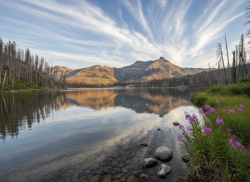
Place · 0.9 mi away
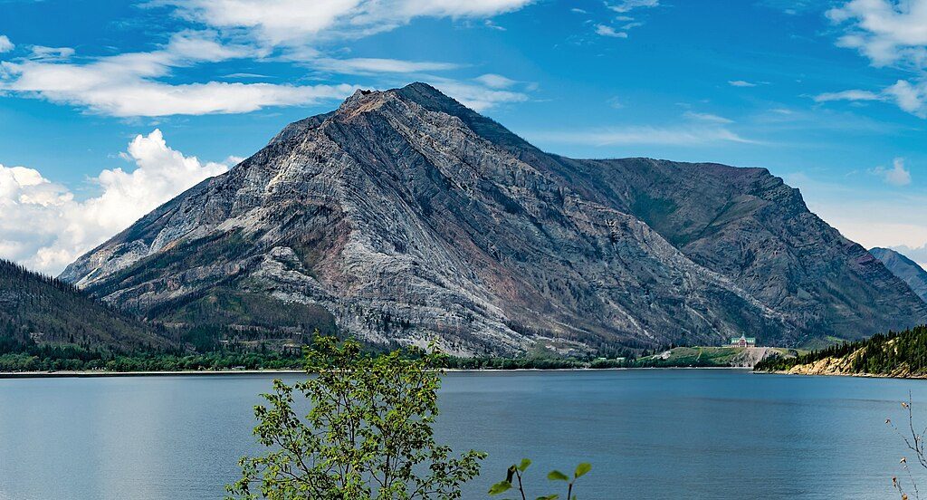
Mount Crandell rises immediately north of the Waterton townsite and tops out at 2,381 m. It’s the close-to-town summit that delivers classic Waterton scenery without a long approach. Expect a real workout and real rewards.
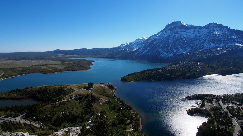
From the ridge and summit, the views sweep over the townsite, Waterton Lake, and both the Akamina/Cameron and Red Rock Canyon valleys. On clear days the panorama feels endless. Post-fire openness means bigger sightlines most of the way up.
Most people start from the Crandell Lake trailhead off Akamina Parkway. Common outings are roughly 10.7 km round trip with about 1,030 m of total ascent, taking 4–6 hours depending on fitness and conditions. Terrain shifts from forest and grassy slopes to rocky ridges and scree. It’s not a beginner hike: expect route-finding, a steep grade, and some exposure on the upper ridges. In early season, lingering snow and a creek crossing can add complexity.
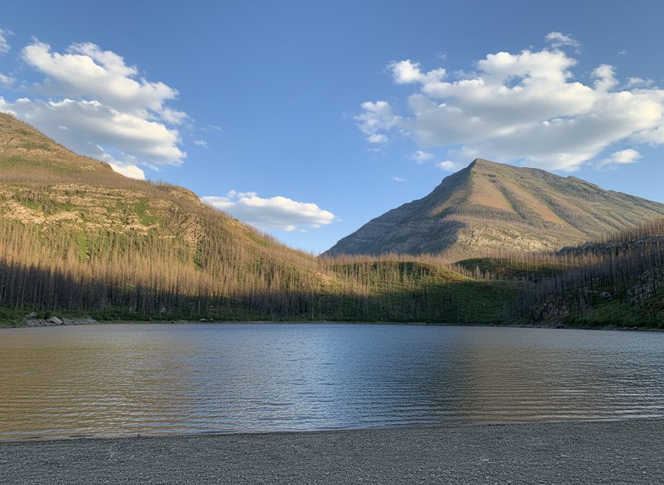
Recent burns have opened the forest, which improves views but leaves little shade and more wind exposure. The summit area is known for strong winds and fast weather changes—dress in layers and carry a windproof shell. In shoulder seasons, snow can linger in traverse sections even when ridges look dry.
This is classic Rockies habitat. Hikers report occasional deer and mountain goats; bears are possible. Carry bear spray and make noise, especially in brushy stretches.
Crandell is built of ancient sedimentary rock (Precambrian–Jurassic) uplifted during the Laramide orogeny—the same mountain-building that raised much of the Rockies. The peak was named in 1914 for Edward H. Crandell, with the name officially adopted in 1943.
Aim for summer once snow has melted—clear, calm mornings are ideal to beat sun and wind on the burned slopes. July often brings a nice burst of wildflowers. Pick a blue-sky day for the best long-range views.
Place · 0.9 mi away
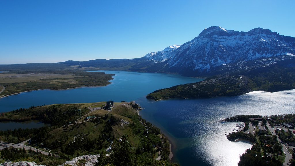
Place · 1.4 mi away
Place · 1.5 mi away
Place · 1.5 mi away
Easy · 0.9 mi away
Moderate · 1.4 mi away
Challenging · 1.4 mi away
Challenging · 1.9 mi away

Parkwolf Tour Guide
