Best time to go
Crandell Lake is listed among the park's July-to-October fishing waters, and a Parks Canada fishing permit is required. Check the current dates and rules before bringing a rod; no particular fish species is confirmed here.
Sight · Waterton Lakes National Park
A mountain-framed lake reached by a short uphill walk.
Overview
Map
Plan your stop

The highest, rockiest slopes around here are a summer buffet for grizzly bears.
Waterton Lakes Tour Guide
Parkwolf is a GPS audio tour guide for Waterton Lakes National Park. As you drive, it chimes in with what’s ahead: hidden gems, upcoming stops, history, geology, and wildlife, right through your car’s speakers.
See the Waterton Lakes audio tourRecorded for this place
Crandell Lake Trailhead and McNeely’s“The Crandell Lake trailhead is coming up, for a short hike to a small lake between Mount Crandell and Ruby Ridge.”
Plays as you drive up to Crandell Lake in the Parkwolf Waterton Lakes Tour Guide.
More stories near here in the app
“Fantastic app with many points of information… It’s great to just turn on while you’re driving and it gives you an audio tour of the national Park. We love it!!!!”


Guide
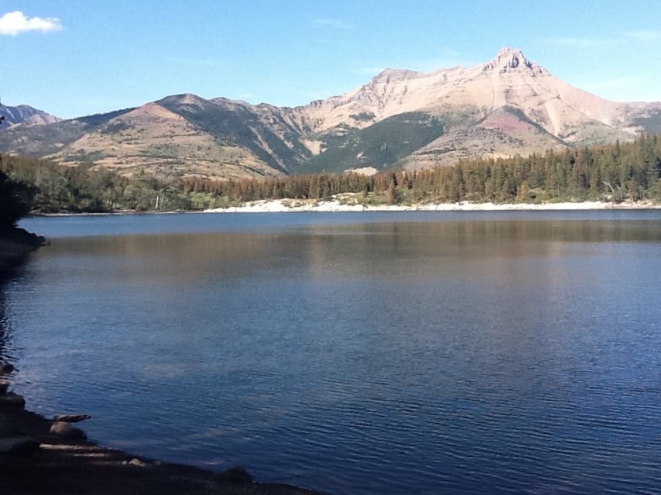
Crandell Lake is a small mountain lake in a forested saddle between Mount Crandell and Ruby Ridge. For a day visit, take the Akamina Parkway approach: 3.6 km return, about an hour, with 75 m of climbing. Its trailhead is about 7 km along the parkway from Waterton townsite. The grade climbs steadily, so it is a short hike rather than a roadside stop.
You can also walk from the townsite: 12.4 km return, about four hours and 270 m of gain. That route follows the parkway for a stretch before turning through forest, and it is shared with mountain bikers. Unless the walk itself is the point, the Akamina approach is the easier way to fit the lake into your day.
A small backcountry campground sits at the lake. Parks Canada's backcountry sites have tent pads, outhouses, food-storage bins and picnic tables; overnight stays require a backcountry permit. Treat or boil water from the campground sources, and use a gas stove for cooking. Fires are allowed only in designated metal rings. These are camping facilities, not confirmed day-use services.
A trail follows part of the western shore and reaches small beaches. When the water is calm, the surrounding mountains reflect across the lake; early or late in the day can bring those still conditions, but wind can break up the mirror. Mount Galway is visible to the north.
Mount Crandell, on the lake's eastern side, was once called Bear Mountain. It was renamed in 1914 for Edward Henry Crandell, a Calgary businessman and city councillor who was interested in the early oil industry.
Wildlife
 83 sightingsBisonMost seen around 7 PMSighting map
 563 sightingsBlack BearMost seen around 6 PMSighting map
 146 sightingsElkMost seen around 7 PMSighting map
 113 sightingsBighorn SheepMost seen around 7 PMSighting map
 55 sightingsBald EagleMost seen around 9 AMSighting map
 53 sightingsTrumpeter SwanMost seen around 6 PMSighting map
Sighting maps show where each species has been reported across Waterton Lakes. Wildlife moves, so no sighting is guaranteed.
Keep exploring
EasyCrandell Lake Trail (Akamina Parkway)3.5 km · 1 hr · 1.2 km awayA steady climb ends at a lake tucked between forested ridges. EasyCrandell Lake Trail (Red Rock Parkway)3.9 km · 1.3 hr · 1.5 km awayA steady forest climb to a sheltered lake between ridges.
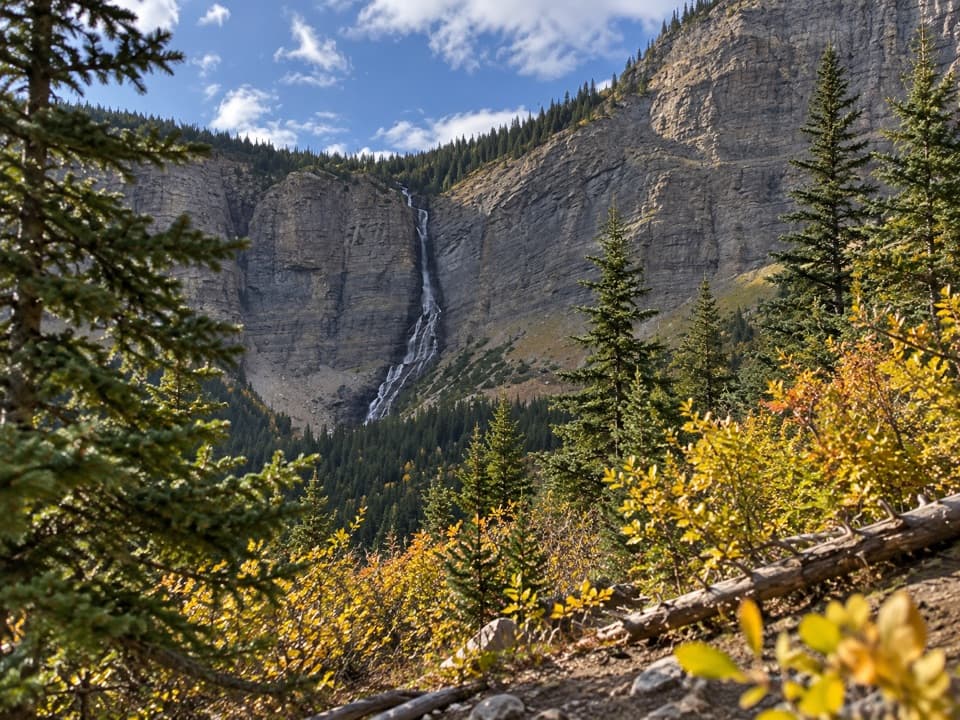 ModerateLineham Falls Trail8.4 km · 3 hr · 3.3 km awayA steady creekside climb to a viewpoint below a 250-metre waterfall.
 ChallengingLineham Ridge17.2 km · 6.5 hr · 4.6 km awayA hard ridge climb with the Lineham Lakes far below.
 ModerateUpper Rowe Lake Trail12.8 km · 5 hr · 4.6 km awayCreek cascades, a flowered meadow, and an alpine lake below Mount Rowe.
 ChallengingTamarack Trail34.3 km · 12 hr · 4.6 km awayCross high ridges and backcountry lakes from Rowe to Red Rock Canyon.
 ModerateLower Rowe Lake Trail8 km · 3 hr · 4.6 km awayMossy creek ledges and red argillite lead to a cliff-backed lake.
 ModerateRowe Meadow Trail10.5 km · 4 hr · 4.6 km awayA flowered meadow in a mountain bowl, reached beside Rowe Creek.
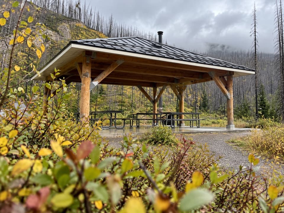 Picnic area · 0.9 km awayMcNeely’s Day Use AreaA creekside picnic with a shelter and wood stove.
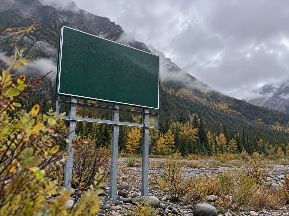 Campground · 1.7 km awayCrandell Mountain CampgroundRed Rock Parkway’s campground, reshaped by the Kenow fire.
 Picnic area · 2 km awayCoppermine Day Use AreaA sheltered picnic break on the Red Rock Parkway.
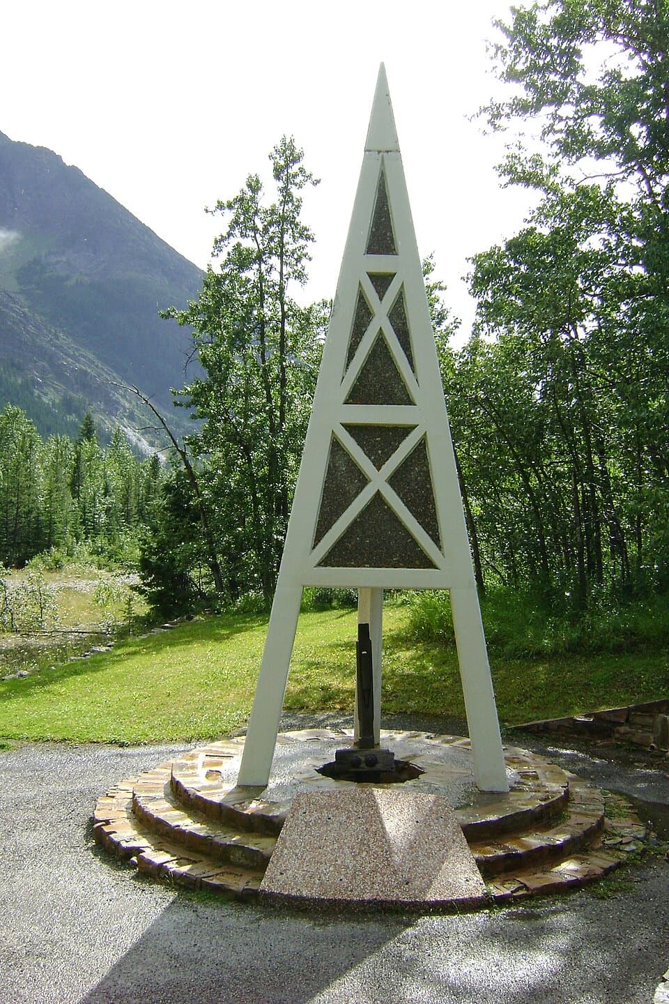 Sight · 2.3 km awayFirst Oil Well in Western Canada National Historic SiteA derrick-shaped monument marks western Canada's first saleable oil.
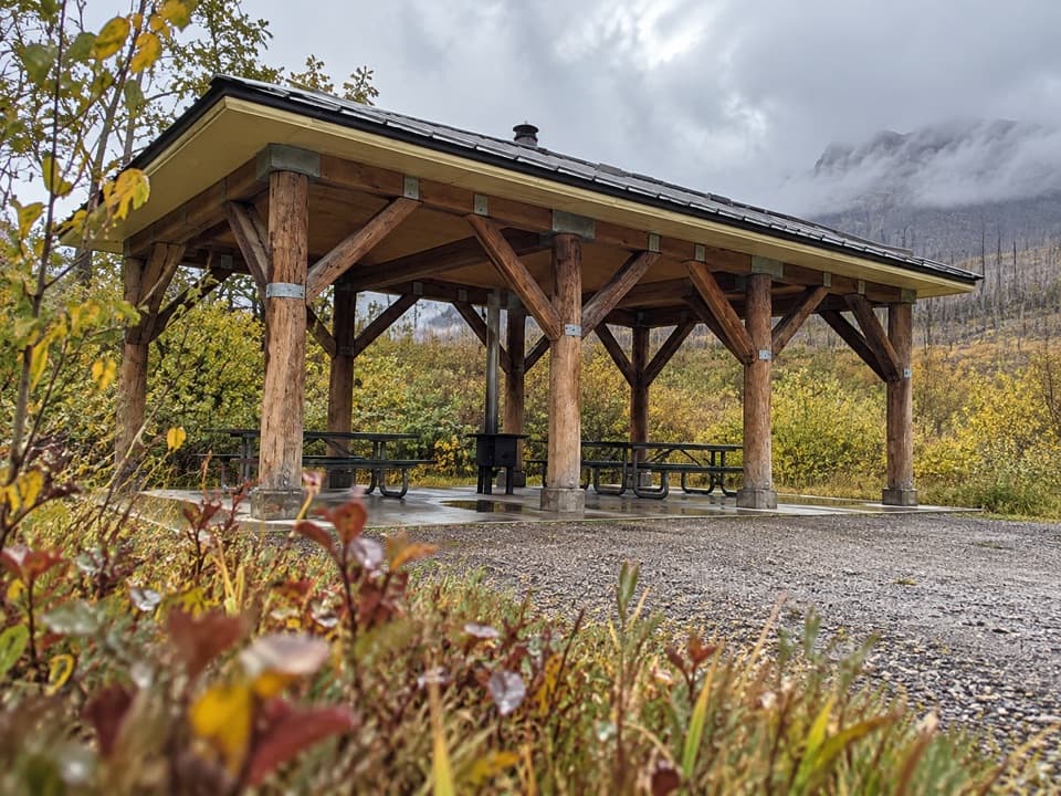 Picnic area · 4.4 km awayLost Horse Creek Day Use AreaA stove-equipped shelter makes this a handy picnic stop.
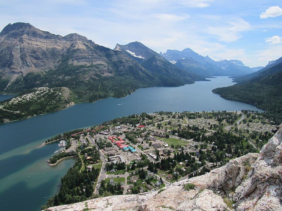 Sight · 5 km awayBear’s HumpA steep climb opens a view from the lakes to the prairie.
 Picnic area · 5.3 km awayLinnet Lake Day Use AreaA quiet picnic stop beside an easy, paved lake loop.
 Sight · 5.4 km awayCameron FallsSee a close-up waterfall over 1.6-billion-year-old rock.
Parkwolf’s Waterton Lakes ranking

The audio tour guide for the drive, plus offline maps, trails, and wildlife heatmaps for when the signal drops.