
Place · 0 mi away
Challenging
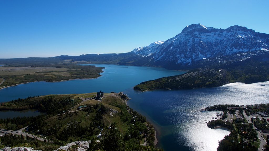
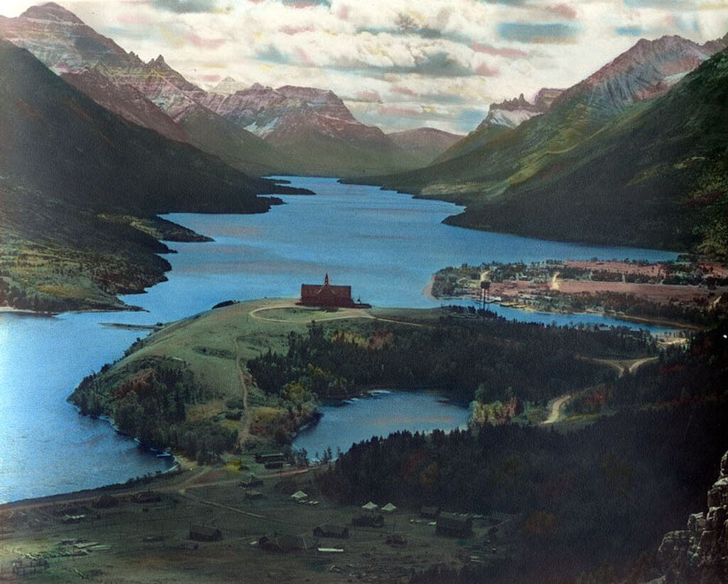
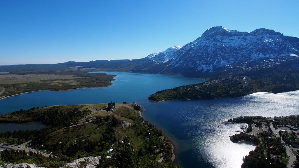
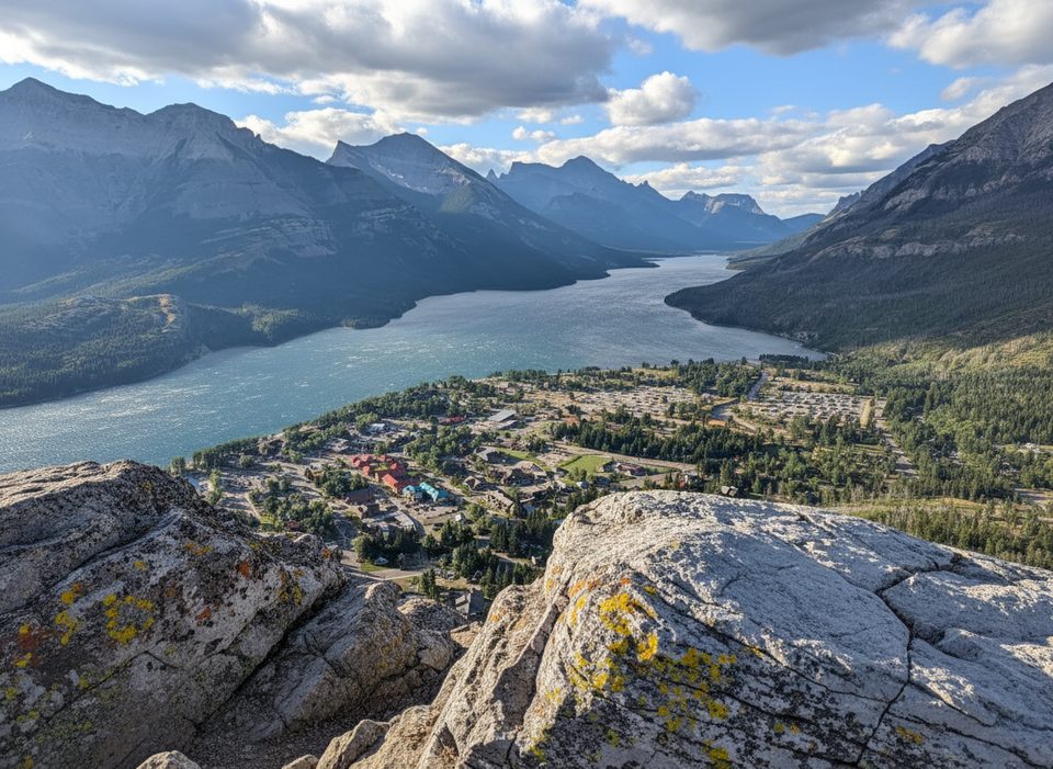
If you want the big, sweeping Waterton view without the crowds, Mount Crandell delivers. It’s a proper mountain day: sustained climbing, some route-finding, and sections that feel more like a scramble than a trail. Your reward is a bird’s‑eye look at Upper and Middle Waterton Lakes, the Prince of Wales Hotel far below, and a skyline packed with peaks.
Most hikers tackle a summit route of roughly 5.3–6.6 miles total (8.5–10.7 km round-trip), with 3,380–3,600 ft of gain. It’s rated difficult and typically takes 4.5–6 hours depending on which line you choose and the conditions. Expect dirt paths low down, then rockier, steeper terrain with occasional exposure and faint tread higher up. Some lines involve hands-on scrambling and careful footwork. Route-finding matters—watch for cairns and subtle tracks, especially in areas reshaped by past wildfire where the forest is more open.
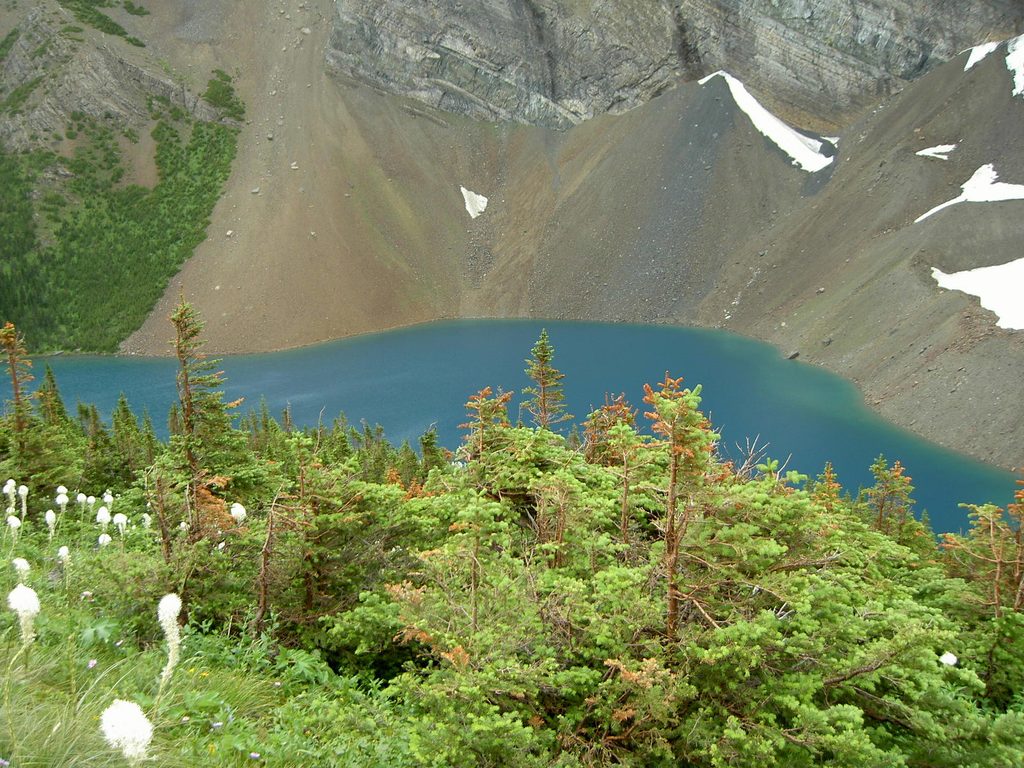
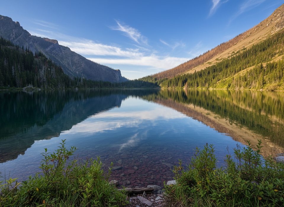
The lower approach passes through a renewing forest and near tranquil Crandell Lake, tucked in a saddle between Ruby Ridge and Mount Crandell. Higher up, the terrain opens to big views across the valley toward Sofa Mountain and Vimy Peak, with the lakes and townsite framed below. Burned sections create unusual sightlines and interesting regrowth patterns. You may also pass larch at elevation and seasonal creeks that run higher after rain or melt.
Park at the Crandell Lake trailhead on the Akamina Parkway (about 5.5 km from the Waterton townsite). There’s no reliable water along the summit route—carry what you need. Some paths are faint or braided; bring a map/GPS and download your track. Start early for cooler temps and a time buffer.
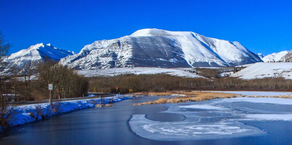
Late spring through early fall (June–September) offers the most reliable travel. Snow can linger on upper slopes into late spring and return early in fall, slowing progress and upping the hazard. In shoulder seasons, expect deep or firm snow and plan conservative turnaround times. Clear, early mornings typically mean steadier footing and better photography light on the lakes below.
If you want the scenery without the steep scramble, the Crandell Lake Loop circles the mountain for about 10.3 miles (16.5 km) with minimal overall gain—long, but gentler. For a shorter outing, the Crandell Lake Trail is an easy, family‑friendly 2.4‑mile return with about 246 ft of gain.
Mount Crandell is built of layered sedimentary rock typical of the region. This landscape is part of the traditional territories of the Blackfoot, Ktunaxa, and Tsuu T’ina peoples.
For experienced hikers, Mount Crandell is a tough, rewarding day with classic Waterton panoramas. If you’re newer to steep, off‑trail feeling terrain, consider the lake options first and save the summit for later.
Crandell Lake trailhead on the Akamina Parkway, about 5.5 km from the Waterton townsite.
Significant elevation gain with sections of scrambling and exposure; faint routes require navigation; seasonal creeks and lingering snow can be hazardous; no reliable water on route.
Place · 0 mi away
Place · 0.1 mi away
Place · 0.2 mi away
Place · 0.2 mi away
Moderate · 0 mi away
Challenging · 0.7 mi away
Easy · 0.7 mi away
Moderate · 1 mi away

Parkwolf Tour Guide
