
Place · 0.3 mi away
Moderate
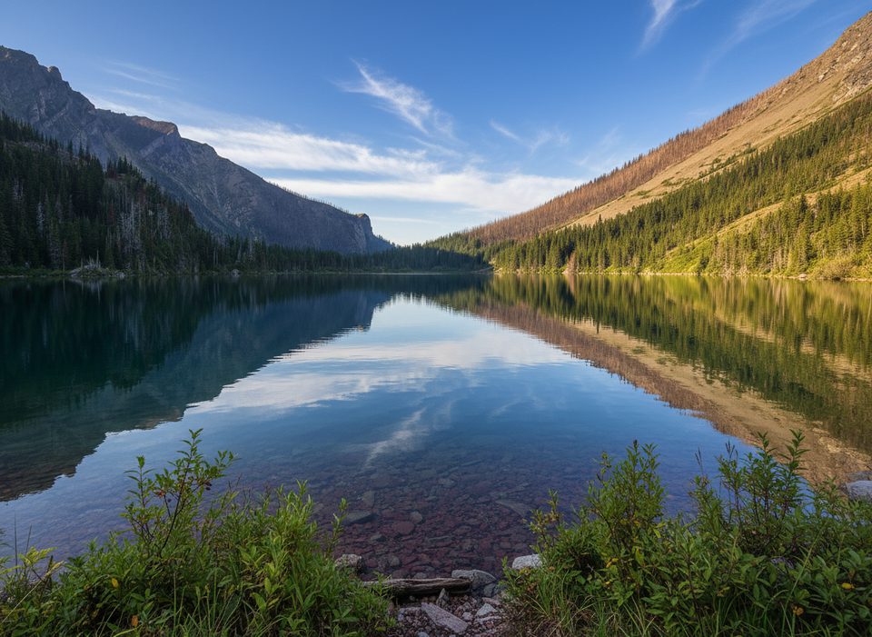
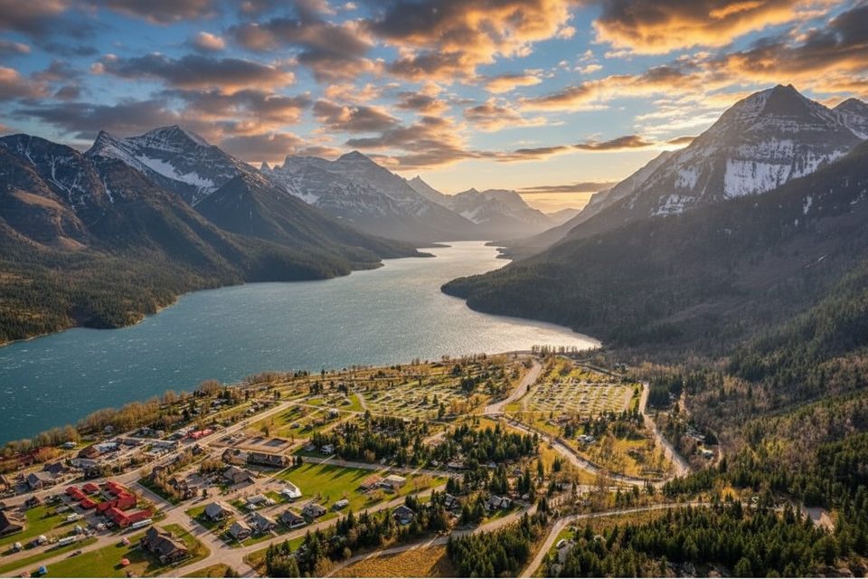
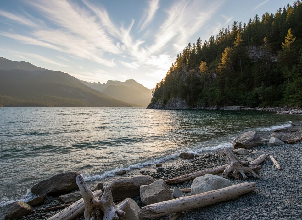
Bertha Lake is the Waterton classic that strings together lakeshore views, photogenic cascades, and a big-payoff alpine tarn—without ever leaving the townsite. From the signed trailhead near the Townsite Campground, the path skirts Upper Waterton Lake before climbing to Lower Bertha Falls, then tackles a sustained series of 21 switchbacks to the lake. Count on about 6.5 miles/10.4 km total (out-and-back to the lake) with roughly 1,800 ft/550 m of gain. If you add the loop around the shoreline at the top, your day stretches to about 16–17 km.
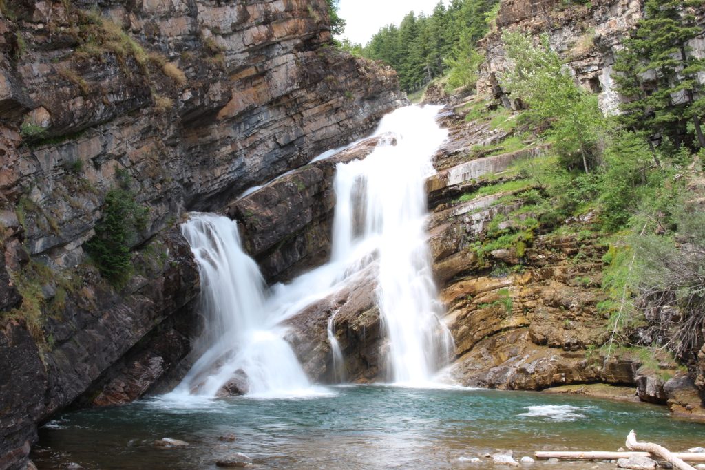
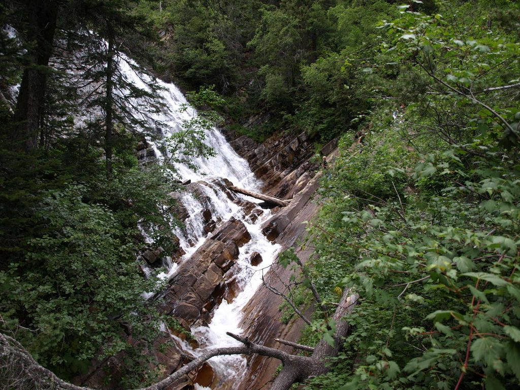
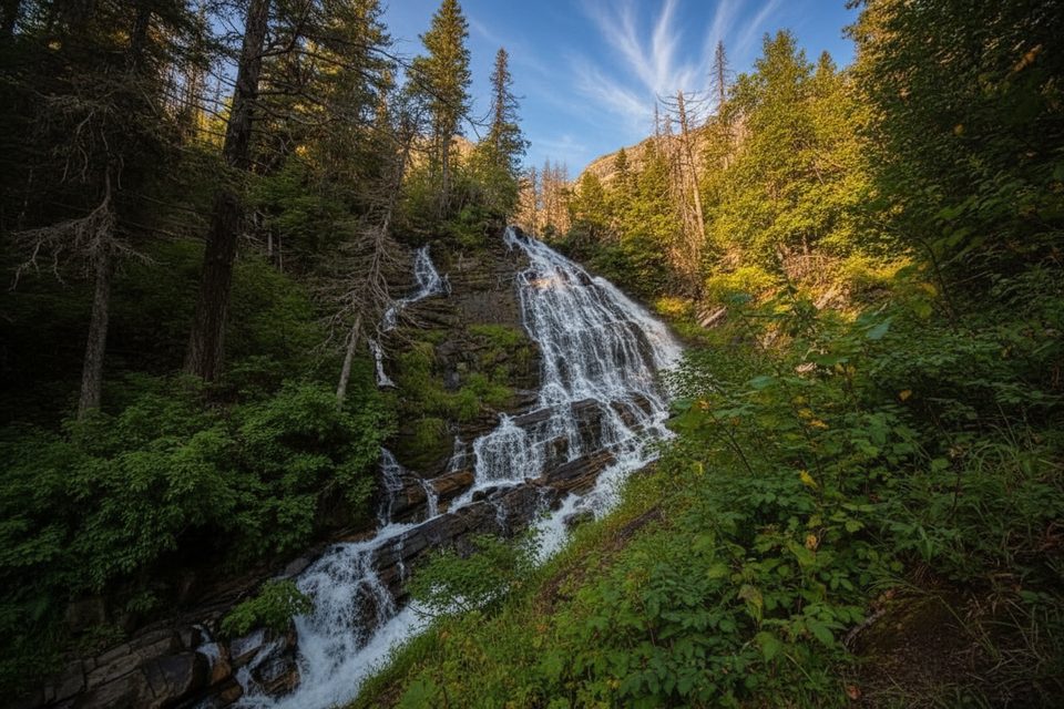
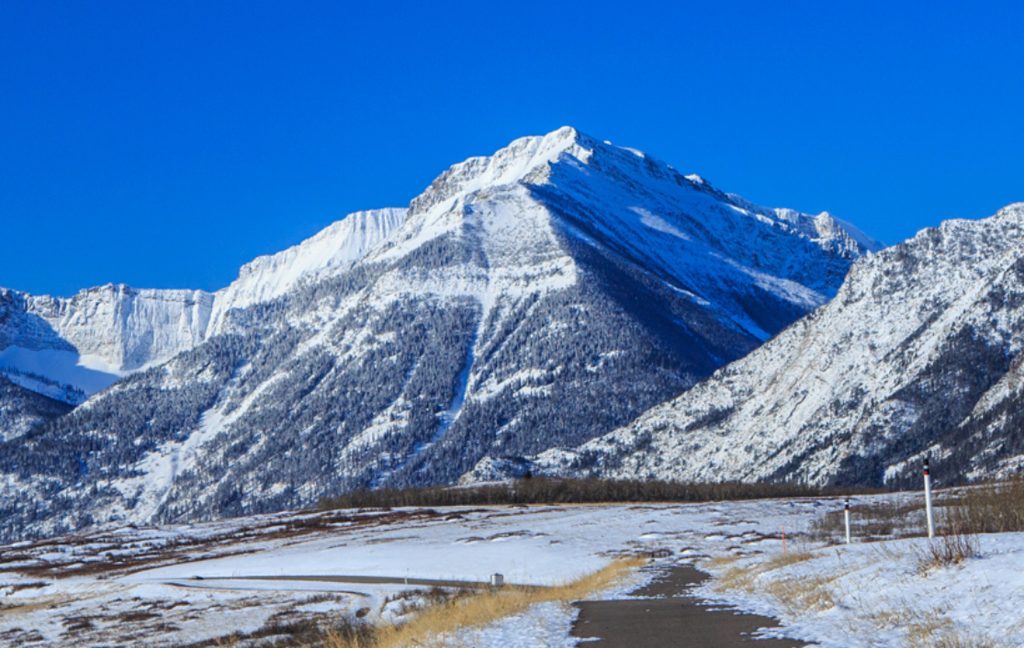
What you’ll see: early viewpoints over Upper Waterton Lake and the townsite, then aspen and evergreen forest transitioning to burn-and-regrowth scenery from the 2017 Kenow Fire—great for wildflowers and valley views. Lower Bertha Falls is a crowd-pleaser; above it, the grade stays steady but manageable (the route was originally built for horses). Upper Bertha Falls spills alongside the switchbacks, and the geology turns showy—colorful pre-Cambrian rock with red and purple argillite contrasts against the turquoise water. Bertha Lake itself sits beneath a massive limestone wall between Mount Richards and Mount Alderson.
Trail feel: well-maintained mountain singletrack with packed dirt and plenty of rocky, sometimes slippery sections—especially near the lake or when snow lingers. It’s moderate to moderately hard: never technical, but the climb is real. Expect company in peak summer; start early if you prefer quieter switchbacks and easier parking. Toilets are available at the trailhead and at the Bertha Lake backcountry campground.
Best time to hike: late June through September for snow-free travel and full waterfall flow. Early summer can still hold snow and ice around the lake; traction and trekking poles help. Autumn brings crisp air and color, but be ready for early storms. Winter and early spring are not recommended here—the trailhead corridor crosses an avalanche path.
Tips: bring layers (it’s cooler at the lake), sturdy boots, and plenty of water and snacks. Bertha Point is a great photo stop before the real climb. At the lake, a short log-bridge leads right to a small beach and the backcountry campground—perfect for a picnic or, with a permit, an overnight. Bear country rules apply: carry bear spray, make noise, and give wildlife space.
Park by the Waterton Townsite Campground; the signed trailhead sits at the southwest edge of town near the campground.
Bear country; carry spray. Early-season snow/ice can make rocks slick. The trailhead corridor is an avalanche path in winter/early spring—avoid unless trained and conditions are safe.
Place · 0.3 mi away
Place · 0.4 mi away
Place · 0.4 mi away
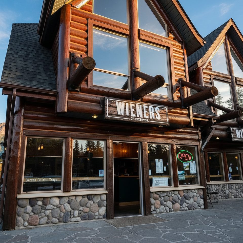
Place · 0.5 mi away
Moderate · 0 mi away
Easy · 0 mi away
Easy · 0 mi away
Challenging · 0 mi away

Parkwolf Tour Guide
