Parking
Start at the Cameron Falls parking area or the Marina; both are identified access points, and the loop can be joined elsewhere in town.
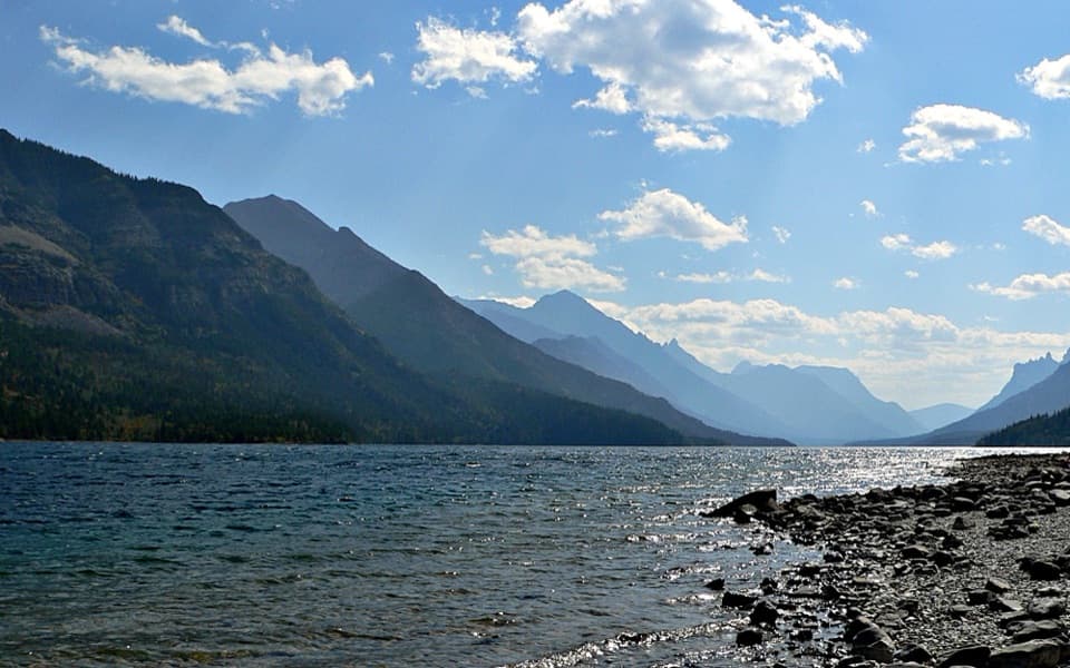
Waterton Lakes National Park, AB
A gentle paved loop links Cameron Falls, the village, and lakeshore.
Overview
Map & elevation
Plan your hike

The highest, rockiest slopes around here are a summer buffet for grizzly bears.
Waterton Lakes Tour Guide
Parkwolf is a GPS audio tour guide for Waterton Lakes National Park. As you drive, it chimes in with what’s ahead: hidden gems, upcoming stops, history, geology, and wildlife, right through your car’s speakers.
See the Waterton Lakes audio tourRecorded for this trailhead
Cameron Falls“Up ahead is Cameron Falls, an easy waterfall stop on the edge of the village. The footbridge is just steps from parking and gives you a close view into the rocky gorge.”
Plays as you drive up to this trailhead in the Parkwolf Waterton Lakes Tour Guide.
More stories near here in the app
“Fantastic app with many points of information… It’s great to just turn on while you’re driving and it gives you an audio tour of the national Park. We love it!!!!”


Trail guide
Townsite Loop is a 3.2 km (2 mi) paved circuit around the Waterton community, following Upper Waterton Lake and Emerald Bay and passing Cameron Falls and the International Peace Park Pavilion. It’s an easy, mostly level walk; allow about an hour. Choose it for a relaxed town-and-waterfront stroll, not a mountain climb. You can join the loop at several points around town.
Starting near Cameron Falls, the path follows Cameron Creek through the townsite and campground toward the lakeshore. A footbridge opens a southward view across Upper Waterton Lake to Vimy Peak, with Mount Crandell above the village. Then the walk turns into a longer waterside stretch, so it feels like more than a quick waterfall stop.
The northern part reaches the International Peace Park Pavilion on the point between Upper Waterton Lake and Emerald Bay. Across the bay, the Prince of Wales Hotel stands on its hill. Interpretive panels along the walk add some context; the Pavilion is the natural place to pause and look both ways across the water. At the Cameron Creek bridge, frame the lake and Vimy Peak together if you want a picture beyond the falls.
The Marina and Cameron Falls are useful places to park and join the route. Most of the circuit is paved path, with a few links along town streets and road crossings, so pay attention to traffic. Dogs are allowed on park trails on leash; follow any posted area restrictions.
Wildlife
 83 sightingsBisonMost seen around 7 PMSighting map
 563 sightingsBlack BearMost seen around 6 PMSighting map
 146 sightingsElkMost seen around 7 PMSighting map
 113 sightingsBighorn SheepMost seen around 7 PMSighting map
 55 sightingsBald EagleMost seen around 9 AMSighting map
 53 sightingsTrumpeter SwanMost seen around 6 PMSighting map
Sighting maps show where each species has been reported across Waterton Lakes. Wildlife moves, so no sighting is guaranteed.
Keep exploring
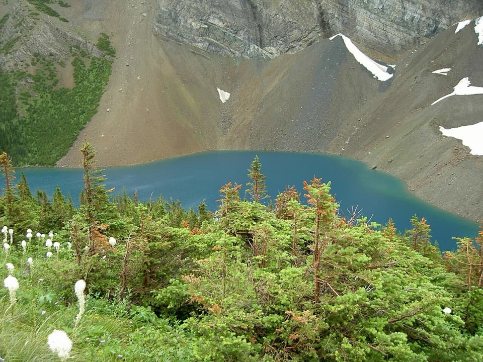 ChallengingAlderson Lake Trail14 km · 5.5 hr · At the trailheadA forest climb ends at a blue lake beneath Mount Alderson's cliffs.
 ModerateCrandell Lake-Townsite Trail12.4 km · 4 hr · 0.4 km awayA steady climb from town through renewing forest to a lake.
 ModerateBertha Lake Trail10.3 km · 4.5 hr · 0.5 km awayA waterfall warm-up before the climb to Bertha Lake.
 ModerateLower Bertha Falls Trail5.1 km · 1.5 hr · 0.5 km awayA short waterfall hike with a big view of Waterton Lake.
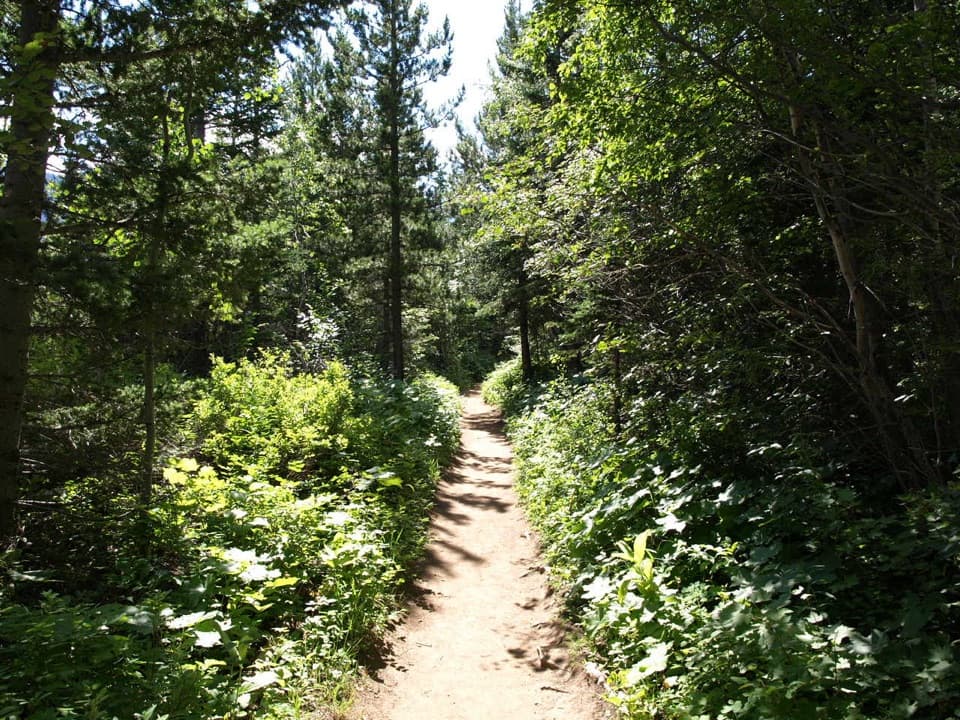 ModerateLakeshore Trail13.5 km · 4 hr · 0.5 km awayOne way lakeshore hike from Waterton to Goat Haunt, crossing into Glacier.
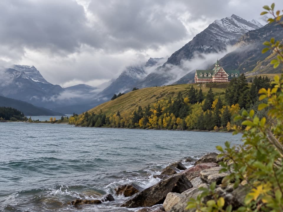 EasyPrince of Wales Loop2 km · 45 min · 1 km awayA short circuit below the historic hotel, with two lakes in view.
 ModerateBear’s Hump Trail2.9 km · 1 hr · 1.2 km awayThe short, steep climb to Waterton’s broad town-and-lake panorama.
 EasyLinnet Lake Loop1 km · 20 min · 1.6 km awayA paved 20-minute loop with lakeside views and interpretive stops.
 Sight · 0.1 km awayCameron FallsSee a close-up waterfall over 1.6-billion-year-old rock.
 Lodging · 0.1 km awayNorthland LodgeA nine-room inn for muffin breakfasts and mountain-view mornings.
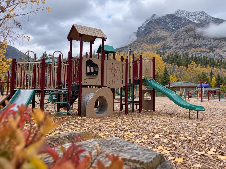 Sight · 0.4 km awayWaterton Community PlaygroundTwo age-group play areas make this an easy family reset.
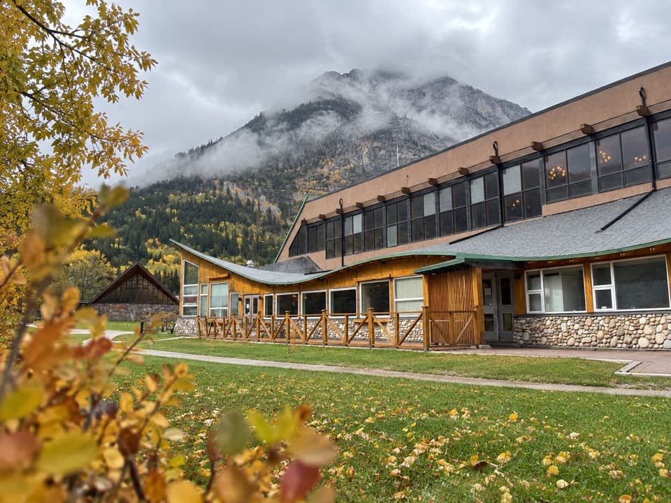 Lodging · 0.5 km awayWaterton Lakes Lodge ResortA walkable base, from hotel rooms to full-kitchen suites.
 Campground · 0.5 km awayTownsite CampgroundA large RV and tent campground within walking distance of town.
 Visitor center · 0.5 km awayWaterton Lakes Visitor CentreGet trail updates, then explore Blackfoot-focused exhibits.
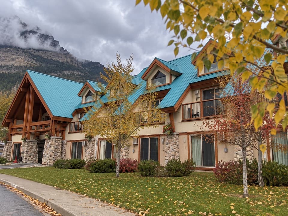 Lodging · 0.5 km awayWaterton Glacier SuitesA roomy base with dinner downstairs and the lake nearby.
 Lodging · 0.5 km awayBear Mountain MotelA walkable, old-school base across the road from Waterton Lake.
Parkwolf’s Waterton Lakes ranking

The audio tour guide for the drive, plus offline maps, trails, and wildlife heatmaps for when the signal drops.



