
Place · 0.9 mi away
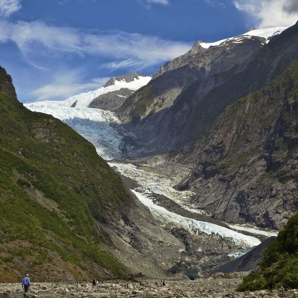
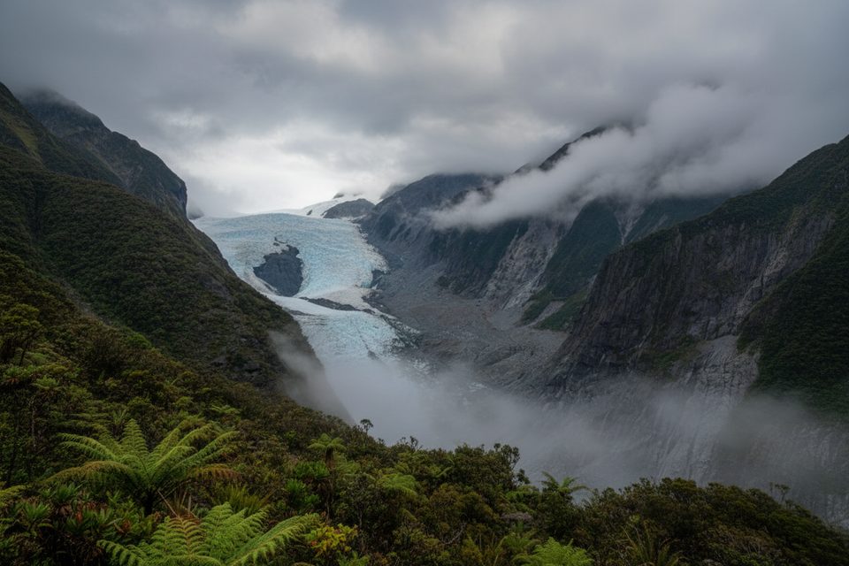
A rare temperate maritime glacier dropping into lush rainforest, Franz Josef Glacier (Kā Roimata o Hine Hukatere) is dramatic, changeable, and easy to reach by road. Its Māori name recalls a legend of grief, while its modern story is rapid retreat—the public valley track now ends at a lookout rather than the ice itself. If you want to stand on the glacier, a guided heli‑hike is the safe option.
From Franz Josef/Waiau township, cross the Waiho River bridge and turn left onto the 4 km Franz Josef Glacier Access Road. It’s unsealed but suitable for most vehicles, and most walks start at the road end. You can also reach the access road via the Te Ara a Waiau walkway/cycleway from town.
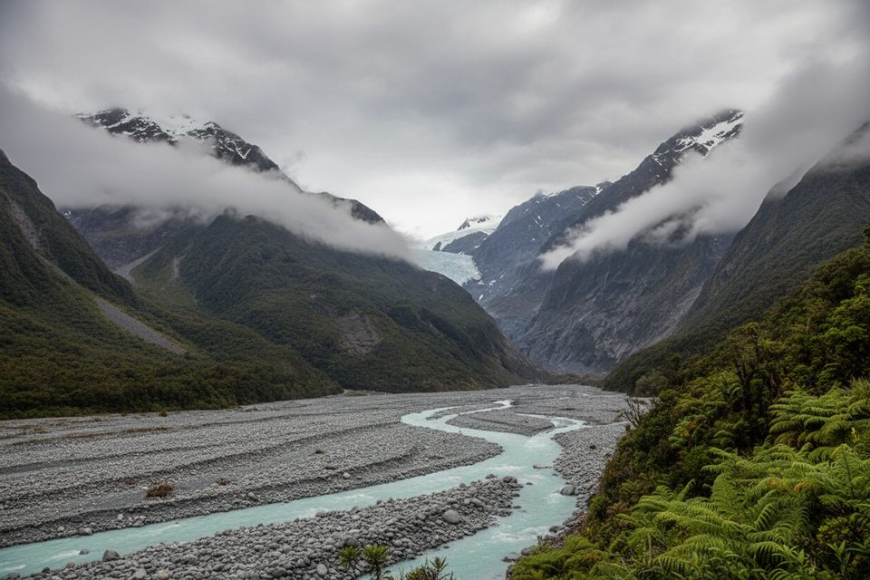
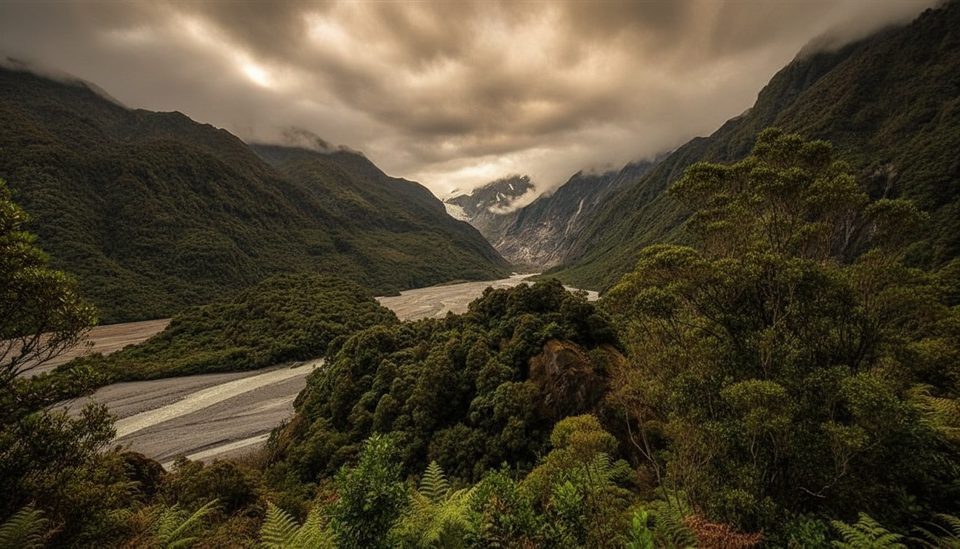
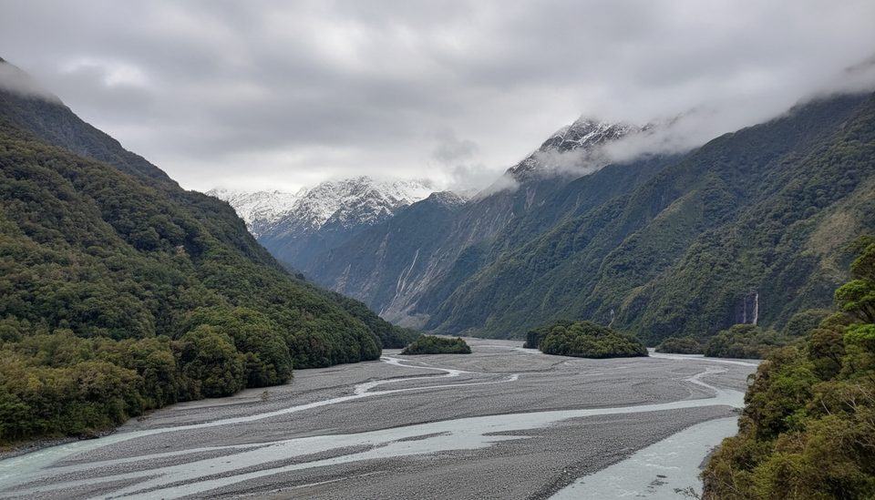
A short walk through rainforest leads to a valley viewing area with waterfalls, steep mountain walls, and glimpses of the upper glacier. The Waiho River often controls how far up‑valley you can go. For a broader vantage, the Sentinel Rock track overlooks the glacier, valley floor, and river. Strong hikers eyeing the big, birds‑eye perspective tackle the Alex Knob Track (a strenuous full‑day tramp to 1,303 m).
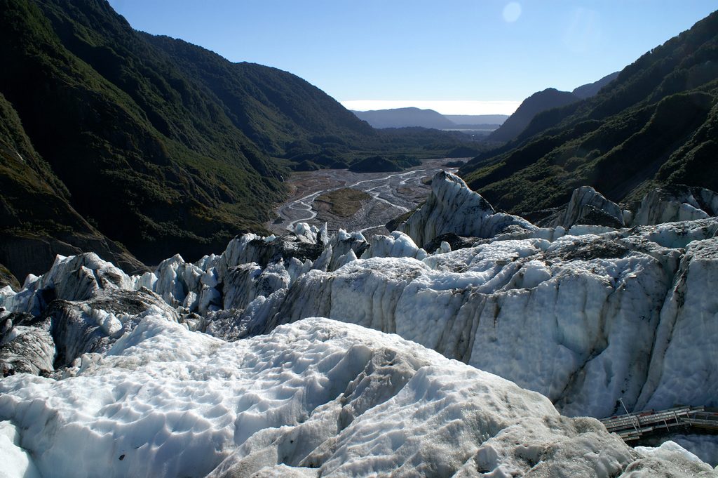
The glacier has significantly receded, and the valley walk is designed for views rather than ice contact. Public access to the ice face is closed; only helicopter landings put you on the glacier. Operators typically provide the necessary gear for short guided walks on the ice. Flights also reveal the vast névé and upper snowfields, but everything here is weather‑dependent and can be cancelled at short notice.
This is a dynamic valley. Heavy rain can rapidly change river channels and trigger sudden flooding; rockfall and ice collapse are real hazards. Check track status and weather at the Westland Tai Poutini National Park Visitor Centre before you go, and never cross safety barriers. Dress warmly, wear sturdy footwear, and carry water, insect repellent, and sun protection.
There are flush toilets at the glacier car park but none further up the valley. There are no rubbish bins—pack out everything you bring in.
Kea frequent this area—curious, clever, and easily harmed by human food. Do not feed wildlife. Drone use requires prior authorization from the Department of Conservation.
Pick a settled weather window; after heavy rain, expect track restrictions or closures in the valley and possible flight cancellations. Check conditions at the Visitor Centre the day you go. For views, pair the valley lookout with Sentinel Rock; if conditions line up, consider a heli‑hike for close‑up ice textures.
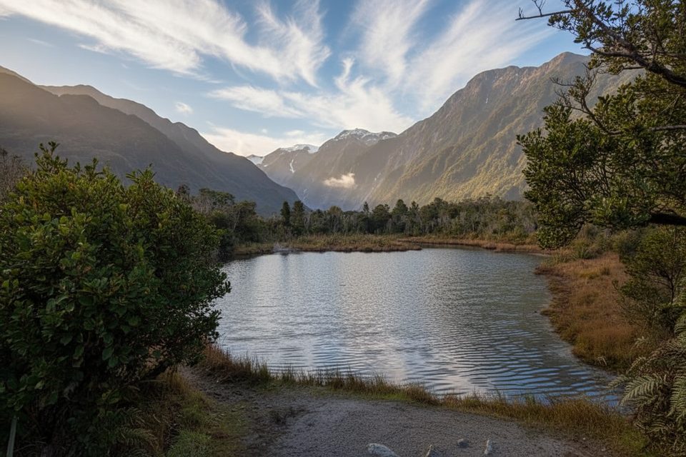
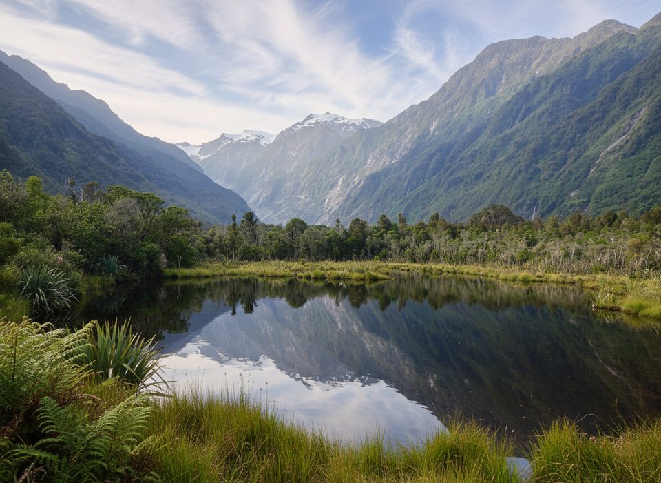
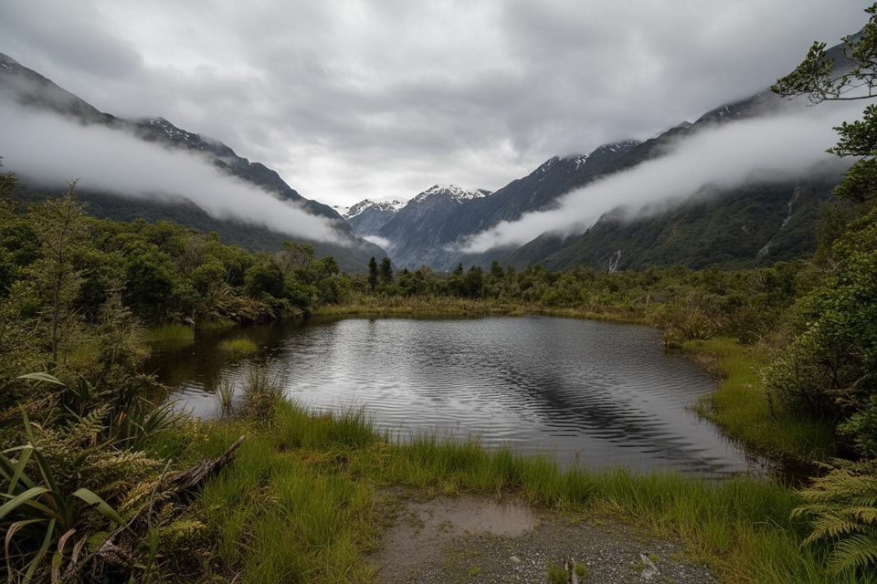
Moraines and kettle lakes around the valley mark former glacier positions—features like Peters Pool tell the tale of advance and retreat. The glacier’s short, steep profile makes it highly sensitive to snowfall versus rain, which is why its position can change markedly over just a few years.
Place · 0.9 mi away
Place · 2.8 mi away
Place · 2.9 mi away
Place · 2.9 mi away
Easy · 2.6 mi away
Challenging · 2.8 mi away
Easy · 2.8 mi away
Easy · 2.8 mi away

Parkwolf Tour Guide
