
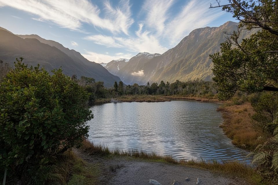
Place · 0.2 mi away
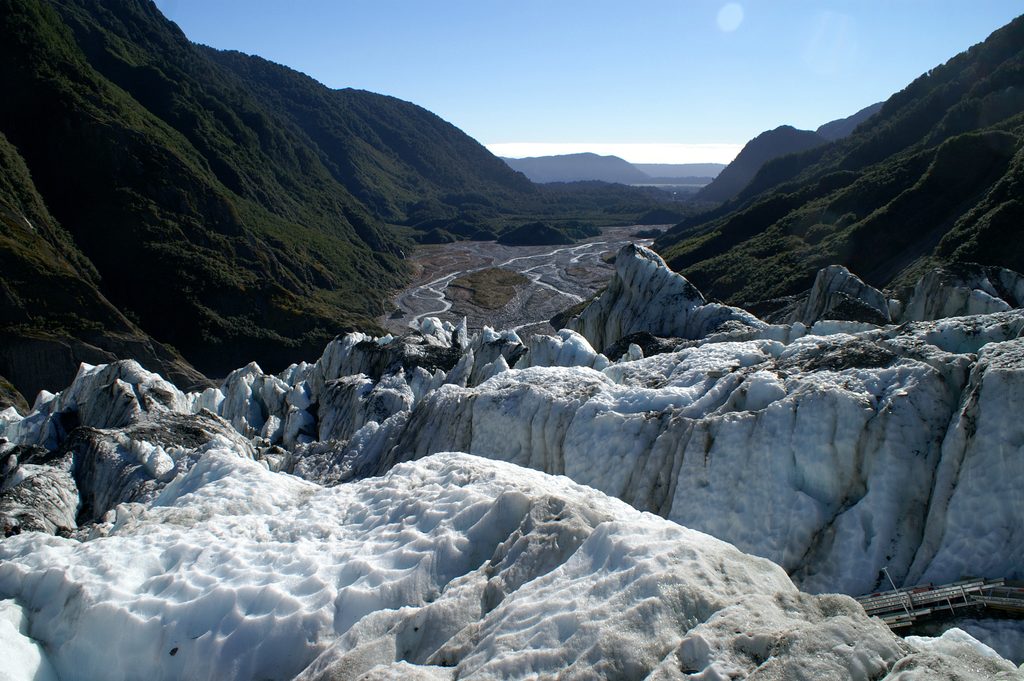
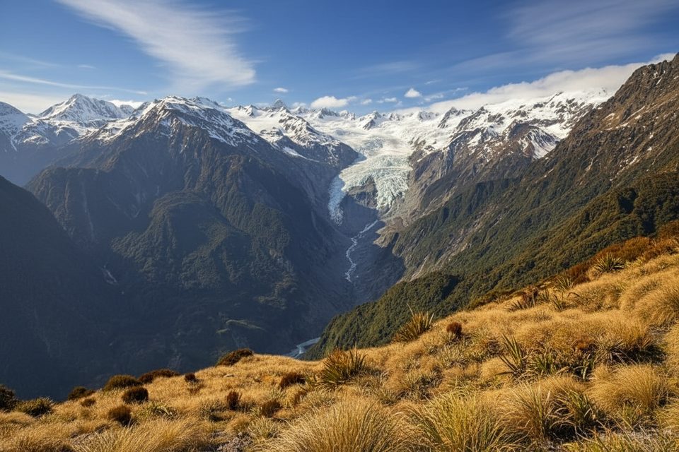
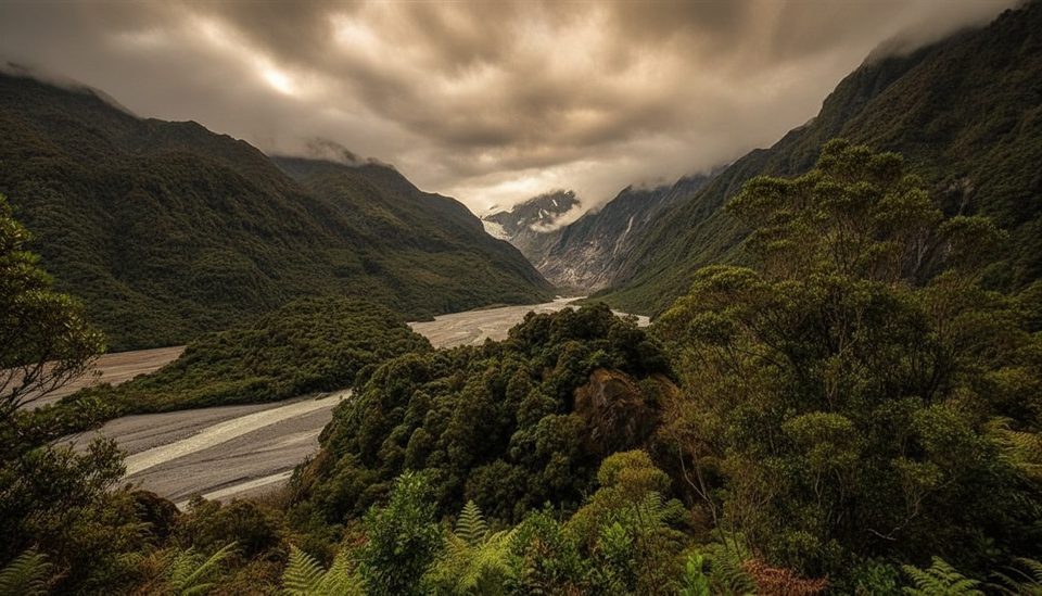
This is the quick, family‑friendly viewpoint at the end of the current Franz Josef Valley walk—your easiest taste of a rainforest‑meets‑ice landscape. The track ends at a signed lookout (via the Sentinel Rock section) because the valley route beyond has been closed by flood damage, so expect a scenic but distant look at the glacier rather than a close‑up.
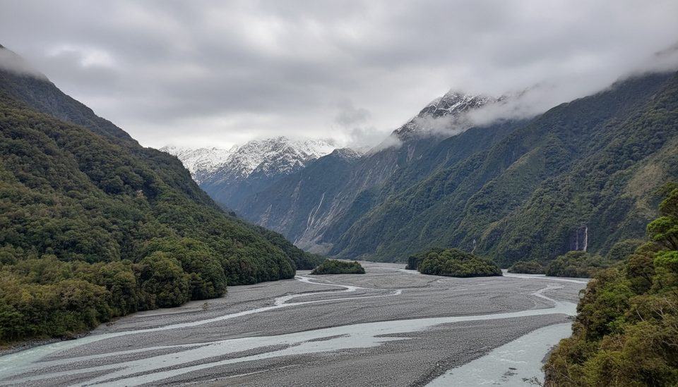
You’ll walk through a broad glacial valley carved by the Waiho River, with steep, forested walls and waterfalls along the way, then finish at a clear sightline to Franz Josef Glacier/Kā Roimata o Hine Hukatere. On the way, you may pass features like Trident Falls and moraine‑studded river flats—great context for how fast this valley changes.
Start from Franz Josef Glacier Car Park (about a 5‑minute drive from town). From there it’s roughly 1.7 km return, 20–30 minutes on a well‑maintained, mostly flat path to the lookout. The car park has toilets and plenty of day‑use parking, and local shuttles run from town if you’re without a car. Barriers are there for a reason—obey them, as slips, flooding and ice collapse are real hazards.
If you want a grander panorama, tackle Roberts Point Track (challenging, several hours with swing bridges) or the full‑day Alex Knob Track for the widest glacier vistas. To actually stand on the ice, you’ll need a guided heli‑hike or a scenic flight with a snow landing—independent access to the glacier surface isn’t available from the valley walk.
It’s visitable year‑round. Summer tends to bring the most settled walking weather. Winter often delivers crisper ice features and fewer crowds. For photography and a calmer vibe, go early or late in the day. Weather can change fast, and flights are weather‑dependent, so keep your plans flexible.
Keep an eye out for native birds in the valley forest—keen walkers sometimes spot species like kea and fantails around the track. The mix of coastal rainforest and alpine country makes this a lively edge zone.
Place · 0.2 mi away
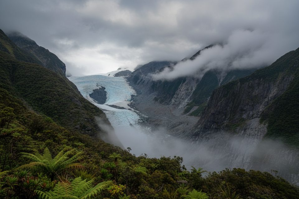
Place · 0.6 mi away
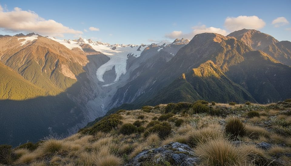
Place · 0.7 mi away
Place · 0.7 mi away
Challenging · 0 mi away
Easy · 0 mi away
Easy · 0 mi away
Easy · 0.2 mi away

Parkwolf Tour Guide
