Parking
Start at Franz Josef Glacier car park on Glacier Access Road; parking is paid. Follow the formed Douglas Walk to Douglas Bridge, where the rough tramping track begins.
#2 of 31 trails in Westland Tai Poutini
Westland Tai Poutini National Park, WC
A rough valley climb to a high view of Franz Josef Glacier.
Overview
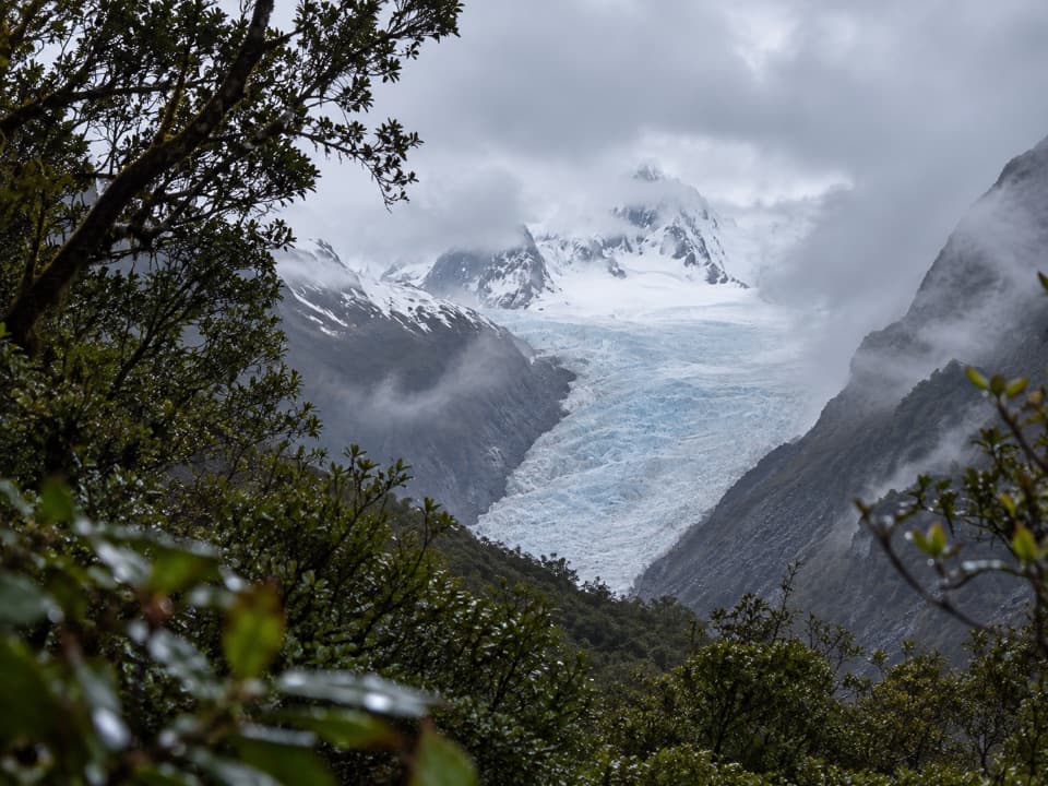
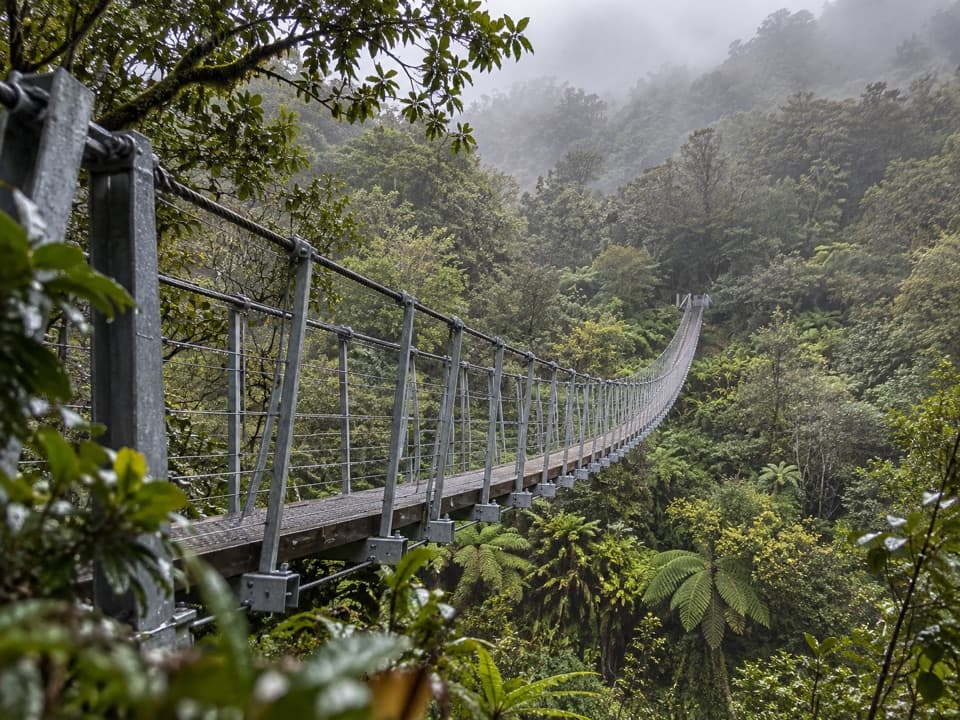
Past the gallery, the track climbs through open scrub to a high suspension bridge over Rope Creek, then continues steadily uphill to Roberts Point. The viewing platform looks across to Franz Josef Glacier, with sheer valley walls, waterfalls and peaks around it. The glacier stays on the far side of the valley; this walk gives you a high viewpoint, not glacier access. If cloud hides the ice, the bridges, gallery and rough valley approach are still the walk’s other rewards. From the platform, frame the glacier with the rock walls and waterfalls, and stay on the platform.
 Parkwolf’s verdictRope Creek and the payoff
Map & elevation
Plan your hike

The highest, rockiest slopes around here are a summer buffet for grizzly bears.
Westland Tai Poutini Tour Guide
Parkwolf is a GPS audio tour guide for Westland Tai Poutini National Park. As you drive, it chimes in with what’s ahead: hidden gems, upcoming stops, history, geology, and wildlife, right through your car’s speakers.
See the Westland Tai Poutini audio tourRecorded for this trailhead
Franz Josef Glacier Valley: Sentinel Rock“You're approaching the Franz Josef Glacier valley car park, where I'd choose Sentinel Rock for a short look over the valley. Allow twenty to thirty minutes return, with a short, steady climb.”
Plays as you drive up to this trailhead in the Parkwolf Westland Tai Poutini Tour Guide.
More stories near here in the app
“Fantastic app with many points of information… It’s great to just turn on while you’re driving and it gives you an audio tour of the national Park. We love it!!!!”


Trail guide
Roberts Point Track is a 12.3 km out-and-back from Franz Josef Glacier car park, usually about 5 hours 20 minutes return. It starts on the easy, formed Douglas Walk and crosses Douglas Bridge, then turns into a rough advanced tramping track up the true right side of the Waiho Valley. Hende’s Hut, the suspended gallery and a high bridge over Rope Creek break up the climb. The finish is a platform facing Franz Josef Glacier, not a way onto the ice. Do this for a demanding, varied walk and the valley view; skip it if you want a quick glacier stop or aren’t comfortable crossing streams and moving over slippery rock.
Follow Douglas Walk from the car park to Douglas Bridge across the Waiho. That first stretch is easy and well formed, but the character changes once you cross: the track is rougher, with tree roots, rocks and slick sections. Hugh Creek is the first unbridged crossing, soon after the bridge, and more side streams come later. Their level can make the route unsafe. If the water is high, rain is falling or you can’t confidently judge a crossing, turn around. This is a fine-weather walk, not one to push through after rain.
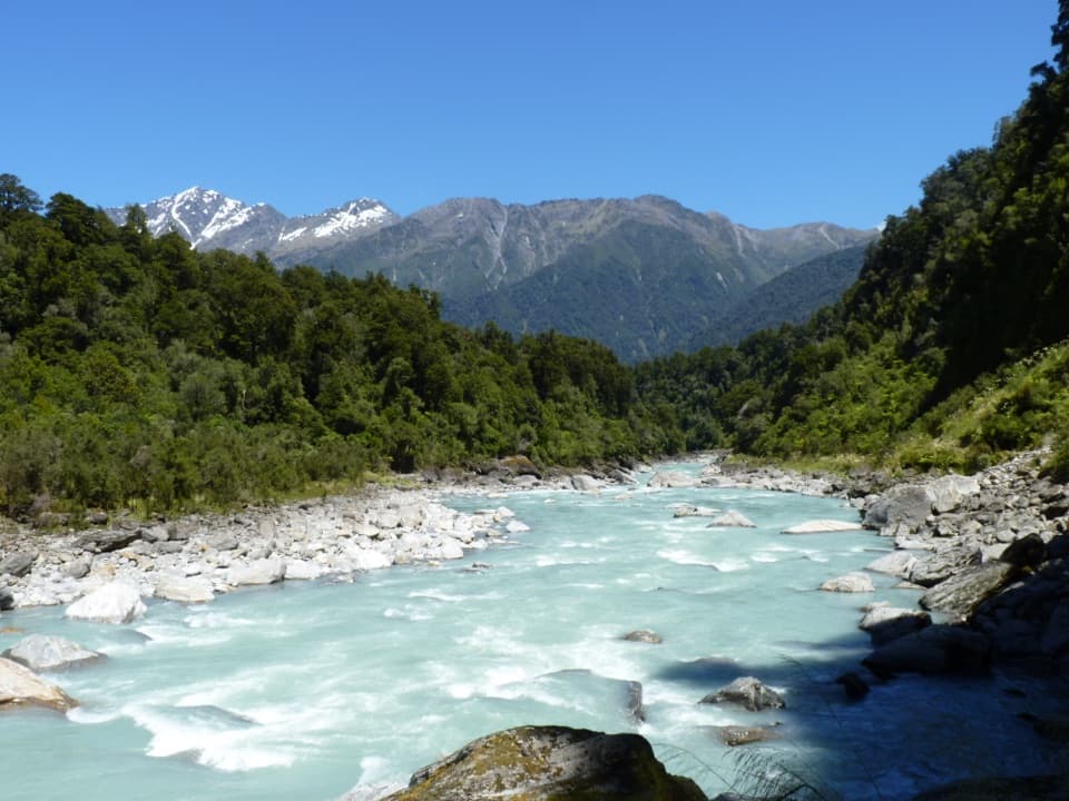
The track winds along the true right of the Waiho Valley over rock carved and smoothed by glacier ice. It’s uneven walking rather than a steady set of steps, and the repeated stream crossings keep breaking your rhythm. The route reaches a bluff with a view down the Waiho before opening onto the rock outcrops at Hende’s Hut. Stay on the marked track: there are steep drops, and the river is not something to scramble down to.
After about an hour, you reach Hende’s Hut, a sheltered place to stop for lunch, not overnight accommodation. The hut dates to 1907, when it housed a forge for the steelwork on Hende’s Gallery. The gallery is the striking part: a suspended and cantilevered walkway threaded along a rock face. You walk through a piece of early track engineering, not past a separate museum exhibit. From here on, the smooth rock slabs can be especially treacherous when wet or icy, so slow down and take care with every step.
Treat the advanced grade seriously: you need good fitness, sturdy boots with grippy soles and confidence on rough, slippery ground. Pick a fine-weather day, check current track conditions and weather at the Franz Josef visitor centre, and carry drinking water. Dogs aren’t allowed. The car park is on Glacier Access Road; the formed Douglas Walk and bridge are the approach to the rough track. Allow the full return time. If you only want an easy stroll, Douglas Walk is the shorter, formed option, but it doesn’t reach Roberts Point.
Wildlife
 89 sightingsKeaMost seen around 10 AMSighting map
 10 sightingsBlue DuckMost seen around 5 PMSighting map
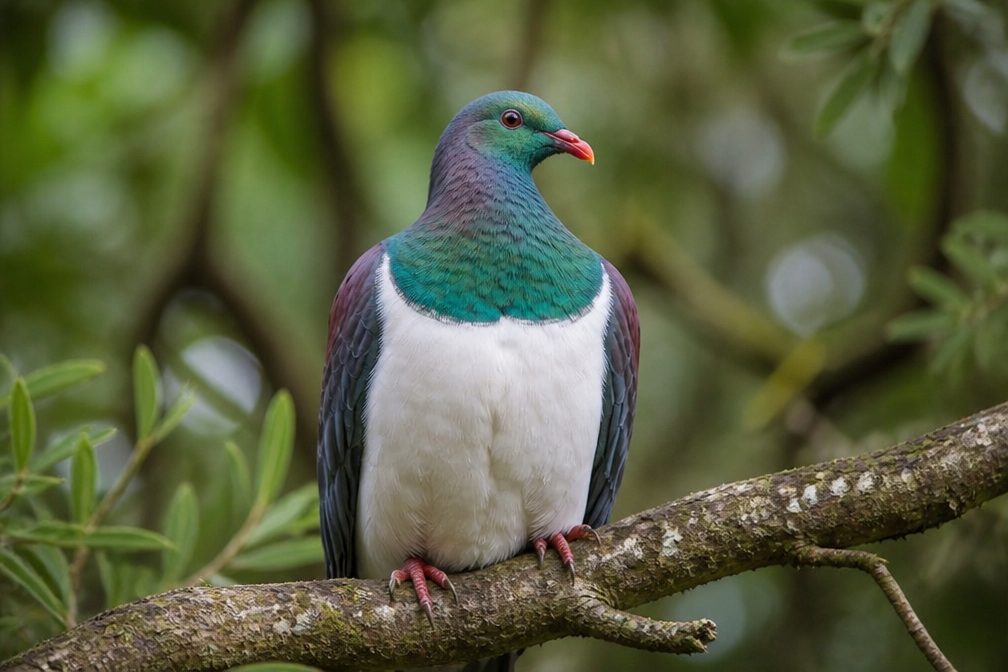 80 sightingsKererūMost seen around 7 AMSighting map
 38 sightingsTūīMost seen around 5 AMSighting map
 10 sightingsNew Zealand FalconMost seen around 10 AMSighting map
 28 sightingsYellow-crowned ParakeetMost seen around 8 AMSighting map
Sighting maps show where each species has been reported across Westland Tai Poutini. Wildlife moves, so no sighting is guaranteed.
Keep exploring
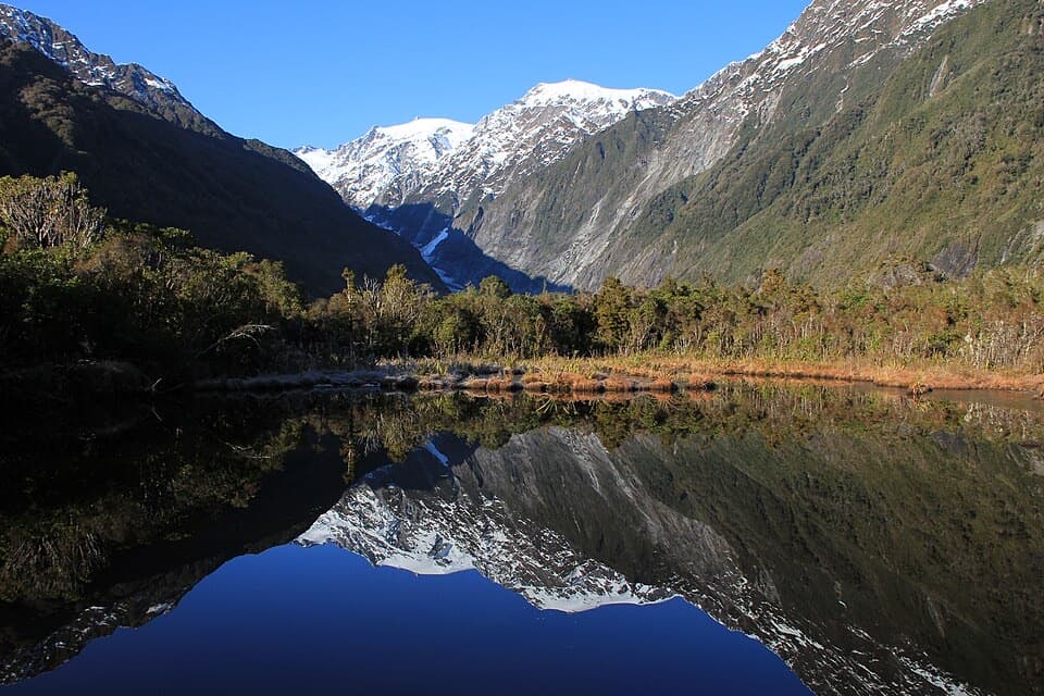 EasyPeters Pool Walk1.1 km · 30 min · At the trailheadA short, level forest walk to Peters Pool’s mountain reflections.
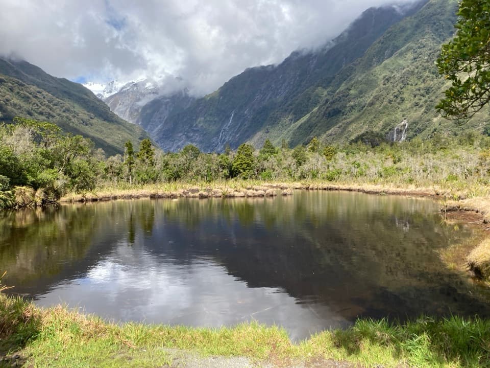 EasyDouglas Walk3.9 km · 1 hr · At the trailheadA short forest walk to a reflective pool and historic bridge.
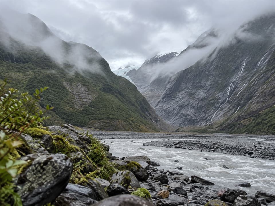 EasyFranz Josef Glacier/Kā Roimata o Hine Hukatere Walk1.7 km · 30 min · 0.1 km awayA short forest walk to a valley shaped by retreating ice.
 EasySentinel Rock Walk0.9 km · 24 min · 0.1 km awayA short climb above the Waiho River and glacier valley.
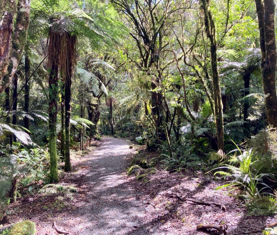 EasyLake Wombat Walk3.8 km · 1.5 hr · 1.2 km awayA steady forest climb to a quiet kettle lake.
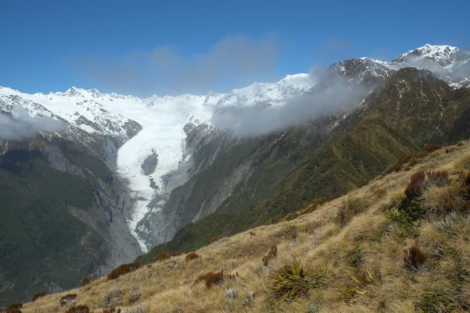 ChallengingAlex Knob Track17.2 km · 8 hr · 1.2 km awayEarn glacier, Alps and Tasman Sea views on a long climb
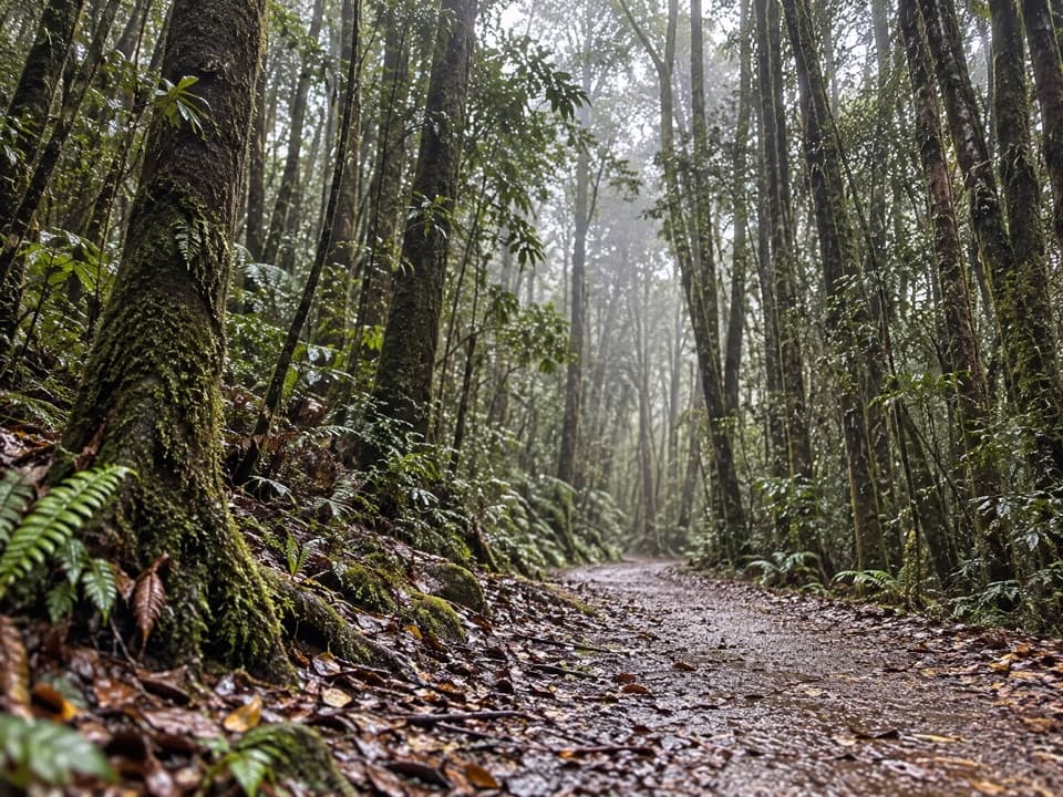 EasyTerrace Walk1 km · 30 min · 3.4 km awayA short rainforest path with glowworms around fallen trees after dark.
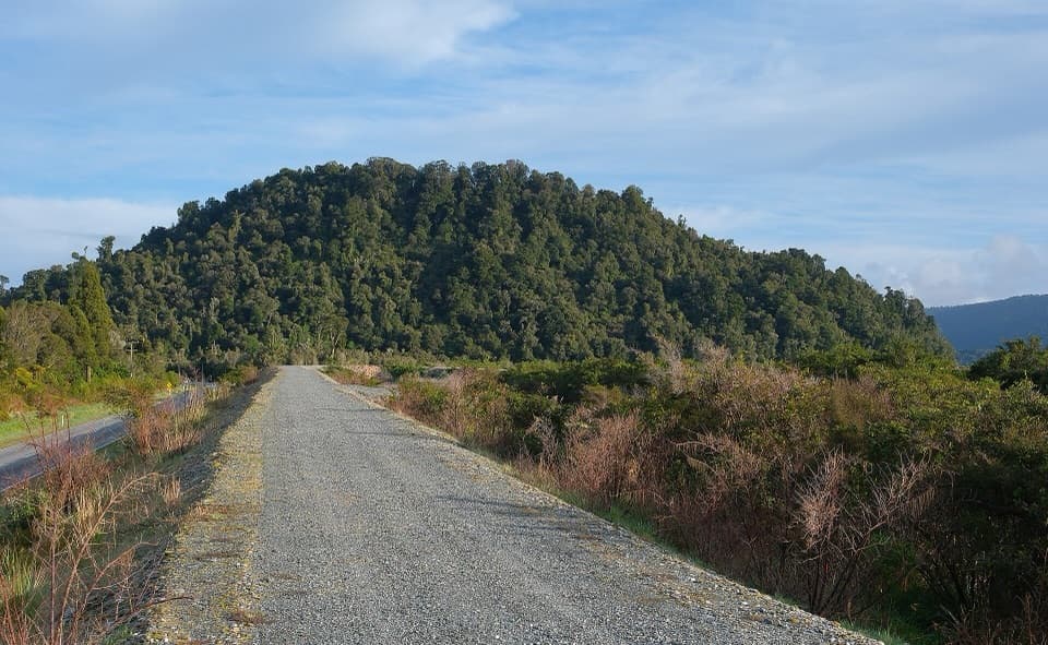 ModerateCanavans Knob Walk3.2 km · 1.3 hr · 3.7 km awayA riverside start leads to a steep climb and two-sided views.Sight · 0.3 km awayPeters PoolA quick, accessible walk to a mountain reflection pool.Sight · 0.3 km awaySentinel RockA short climb for glacier history and a wide valley view.
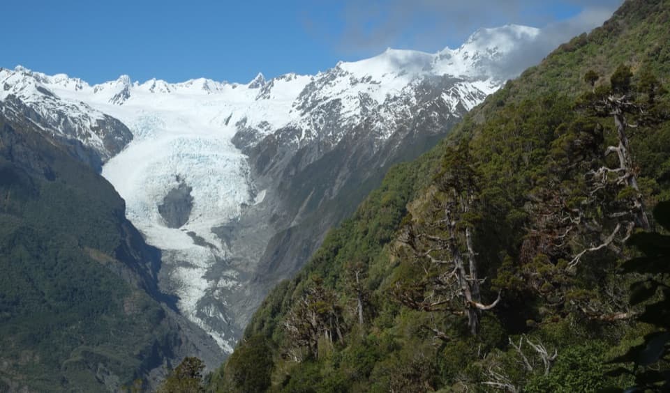 Sight · 1.3 km awayChristmas LookoutA high glacier view after three hours of uphill walking.
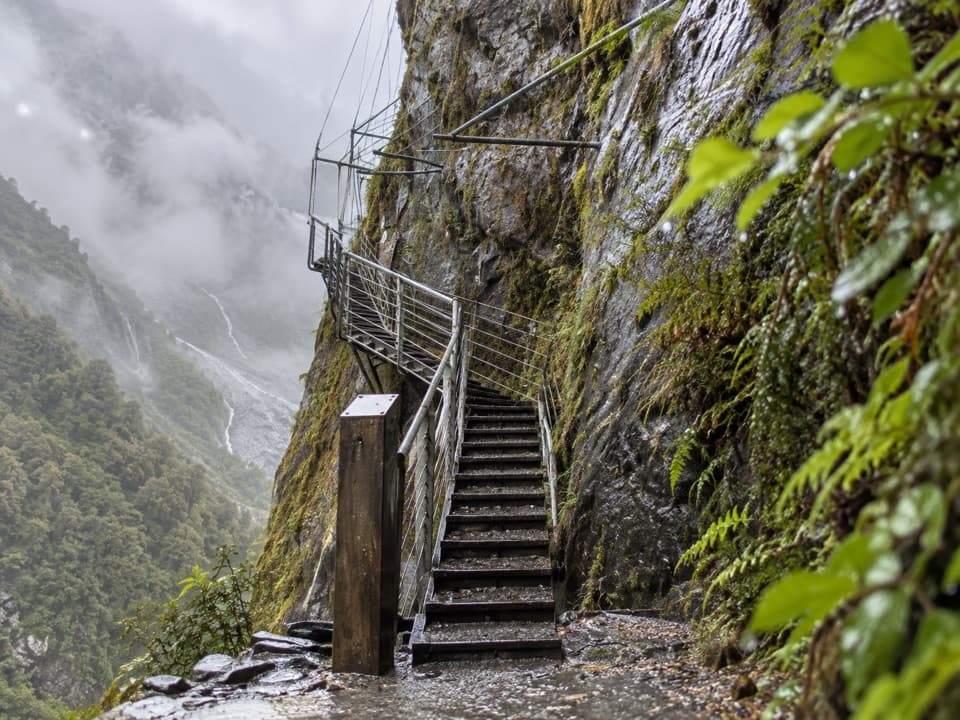 Sight · 1.4 km awayHende’s Hut and GalleryA 1907 cliff gallery on a demanding glacier-valley tramp.
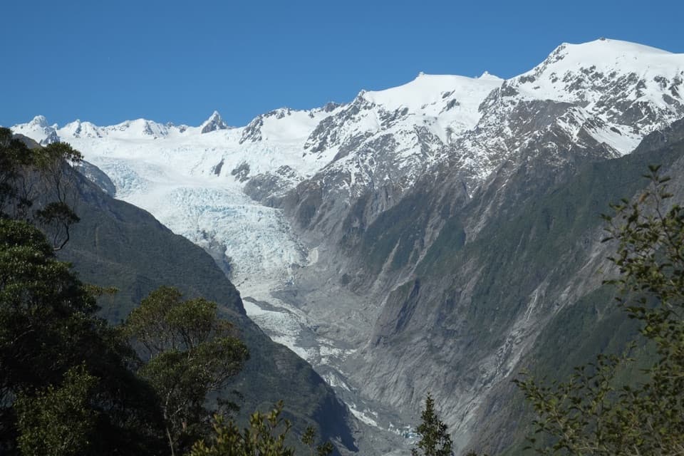 Sight · 1.4 km awayRata LookoutTwo hours uphill earns a first glimpse of Franz Josef Glacier.Sight · 1.6 km awayAlex KnobA full-day climb buys you Franz Josef Glacier from above.
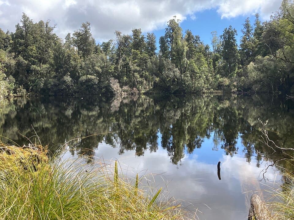 Sight · 2 km awayLake WombatQuiet rimu forest leads to a small, still kettle lake.
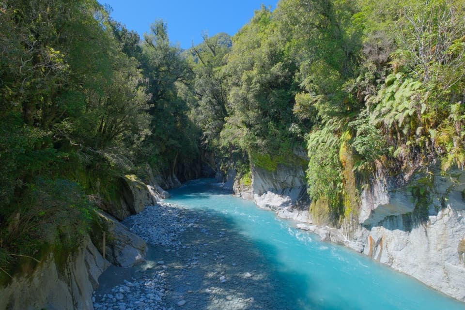 Sight · 2.7 km awayCallery Gorge BridgeA rainforest walk to a 29-metre bridge over Callery Gorge.
Parkwolf’s Westland Tai Poutini ranking
The audio tour guide for the drive, plus offline maps, trails, and wildlife heatmaps for when the signal drops.