Bremner Historic Mining District in Wrangell-St. Elias National Park

Sight · Wrangell-St. Elias National Park

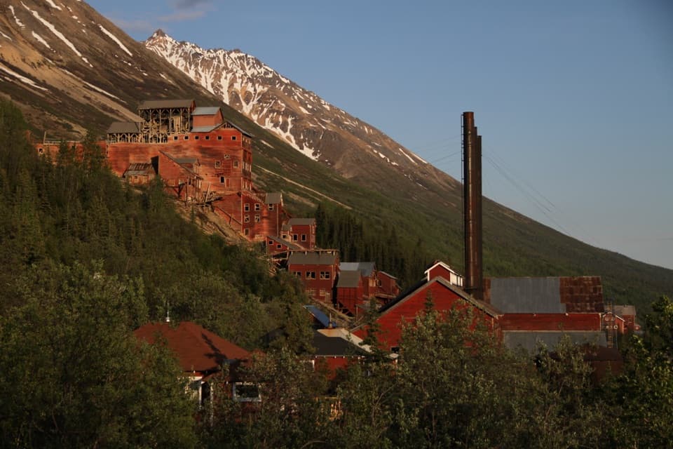
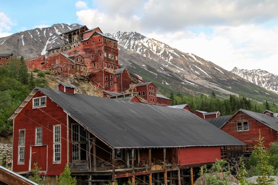
Bremner Historic Mining District

A remarkably complete mining district, 70 miles from the nearest road.

Photo: NPS

Type
Sight
  • Exhibit
  • Trailhead
  • Scenic viewpoint
  • #11 of 34 sights

Overview

About Bremner Historic Mining District

Why stop

  • A remarkably complete mining landscape with surviving machinery.

Heads up

  • A serious backcountry trip, with no nearby road access.

Map

Where it is

Loading the Wrangell-St. Elias map
Full map
SightBremner Historic Mining District61.02917, -143.43889
Keep this map with you offline in the Parkwolf app

Plan your stop

Before you go

Make access the first decision

The documented approaches are by airplane or long-range hiking. Air services in the area are one option, but a landing point and camping arrangements need to be confirmed before you plan around them. The water listed for the district is non-potable, so arrange drinking water separately. This is a backcountry trip, not a place to improvise on arrival.


A park ranger sits on a dash-mounted phone, talking, as Parkwolf’s Tour Guide plays “Army Cutworm Moths: A Grizzly Bear Buffet” on Grand Loop Road below Dunraven Pass in Yellowstone
Parkwolf Tour GuideThe highest, rockiest slopes around here are a summer buffet for grizzly bears.

Wrangell-St. Elias Tour Guide

Your drive to Bremner Historic Mining District, narrated.

Parkwolf is a GPS audio tour guide for Wrangell-St. Elias National Park. As you drive, it chimes in with what’s ahead: hidden gems, upcoming stops, history, geology, and wildlife, right through your car’s speakers.

See the Wrangell-St. Elias audio tour
  • 81 audio storiesacross Wrangell-St. Elias’s roads, triggered by GPS as you drive
  • Wildlife heatmapsfor Grizzly Bear, Moose, Humpback Whale, and 13 more
  • Works offlinemaps, 28 trails, 62 places, and audio download before you lose signal
  • CarPlay readysimple controls built for the drive
★★★★★
“Fantastic app with many points of information… It’s great to just turn on while you’re driving and it gives you an audio tour of the national Park. We love it!!!!”
JMJamesApp Store review
Download Parkwolf on the App StoreGet Parkwolf on Google Play

4.7 from 8,600+ ratings

Guide

More about Bremner Historic Mining District

A remote district, not a road stopBremner Historic Mining District is a spread-out group of mining camps and mine sites in a…

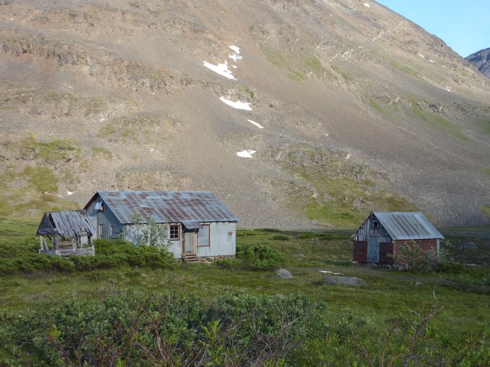
Bremner Historic Mining District is a spread-out group of mining camps and mine sites in a rugged part of Wrangell–St. Elias. It suits visitors who want to see a whole historic mining landscape: a placer site, a camp, four separate lode mines, a mill and the old transportation network remain. The district was added to the National Register of Historic Places in 2000. This is not a quick add-on to McCarthy: the nearest road is about 70 miles away.

How Bremner grewThe district takes its name from John Bremner, who lived in the area in 1884–1885 and…

The district takes its name from John Bremner, who lived in the area in 1884–1885 and prospected along the Bremner River. A major placer-gold discovery followed in 1902. Few miners struck it rich, but the demand for supplies helped build regional transportation networks and hastened settlement across the Copper River Basin. Small-scale placer mining continued for more than 40 years; lode development was concentrated in 1934–1941.

Read the placer workingsAt the Golconda Mining Company site, an elaborate ditch and extensive piles of hand-stacked…

At the Golconda Mining Company site, an elaborate ditch and extensive piles of hand-stacked cobble show the scale of early placer mining. A campsite is part of the complex too. These features preserve more of the work's layout than a single abandoned building could.

Yellow Band's power systemYellow Band was one of the region's most complete mining camps, with housing and offices served…

Yellow Band was one of the region's most complete mining camps, with housing and offices served by a sophisticated hydroelectric system. Asa C. Baldwin, an explorer, surveyor and mining engineer, began prospecting in Bremner in the early 1930s and led the Yellow Band Mining Company from 1936 to 1940. Its buildings and power system show how a remote mining camp functioned as a settlement.

Mines and machinery on the slopesLucky Girl, Grand Prize, Sheriff and Yellow Band were remote underground mines, with remains…

Lucky Girl, Grand Prize, Sheriff and Yellow Band were remote underground mines, with remains higher up the mountain. Repeated avalanches left the Lucky Girl mill in ruins, though its machinery remains intact. The sites are spread through rugged country rather than arranged as one compact exhibit.

Wildlife

Wildlife in Wrangell-St. Elias

All Wrangell-St. Elias wildlife maps

Sighting maps show where each species has been reported across Wrangell-St. Elias. Wildlife moves, so no sighting is guaranteed.

Parkwolf’s Wrangell-St. Elias ranking

Top sights in Wrangell-St. Elias

All 62 places
  1. 1Kennecott Mines National Historic LandmarkSight
  2. 2Root GlacierSight
  3. 3Kennecott Concentration MillSight
  4. 4Kuskulana BridgeSight
  5. 5Ahtna Cultural CenterSight
  6. 6Gilahina TrestleSight

Take Parkwolf to Wrangell-St. Elias.

The audio tour guide for the drive, plus offline maps, trails, and wildlife heatmaps for when the signal drops.

4.7 from 8,600+ ratings

Download Parkwolf on the App StoreGet Parkwolf on Google Play