Overview
About Kageet Point
Why stop
- A main kayak access point to Icy Bay’s glacier and iceberg scenery.
Heads up
- Reaching the bay requires a charter flight, and landing conditions need confirmation.
Map
Where it is

The highest, rockiest slopes around here are a summer buffet for grizzly bears.
Wrangell-St. Elias Tour Guide
Your drive to Kageet Point, narrated.
Parkwolf is a GPS audio tour guide for Wrangell-St. Elias National Park. As you drive, it chimes in with what’s ahead: hidden gems, upcoming stops, history, geology, and wildlife, right through your car’s speakers.
See the Wrangell-St. Elias audio tour- 81 audio storiesacross Wrangell-St. Elias’s roads, triggered by GPS as you drive
- Wildlife heatmapsfor Grizzly Bear, Moose, Humpback Whale, and 13 more
- Works offlinemaps, 28 trails, 62 places, and audio download before you lose signal
- CarPlay readysimple controls built for the drive
“Fantastic app with many points of information… It’s great to just turn on while you’re driving and it gives you an audio tour of the national Park. We love it!!!!”


Guide
More about Kageet Point
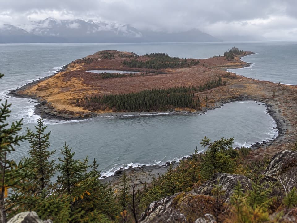
A remote entrance to Icy BayKageet Point is a low cape on the eastern edge of Icy Bay.
Kageet Point is a low cape on the eastern edge of Icy Bay. Kayakers have traditionally chartered small bush planes from Yakutat to reach the bay, using this as its best-known drop-off. It’s a backcountry staging point, not a drive-up overlook. The landing beach’s present condition isn’t clear, so confirm the drop-off with a current Yakutat air taxi before planning around it. Icy Bay has no road access; camping is dispersed along beaches rather than in designated sites, and visitors pack out their waste.
Ice, water and open coastThe point lies near the mouth of Taan Fjord, with Guyot Glacier and Icy Bay’s ice country…
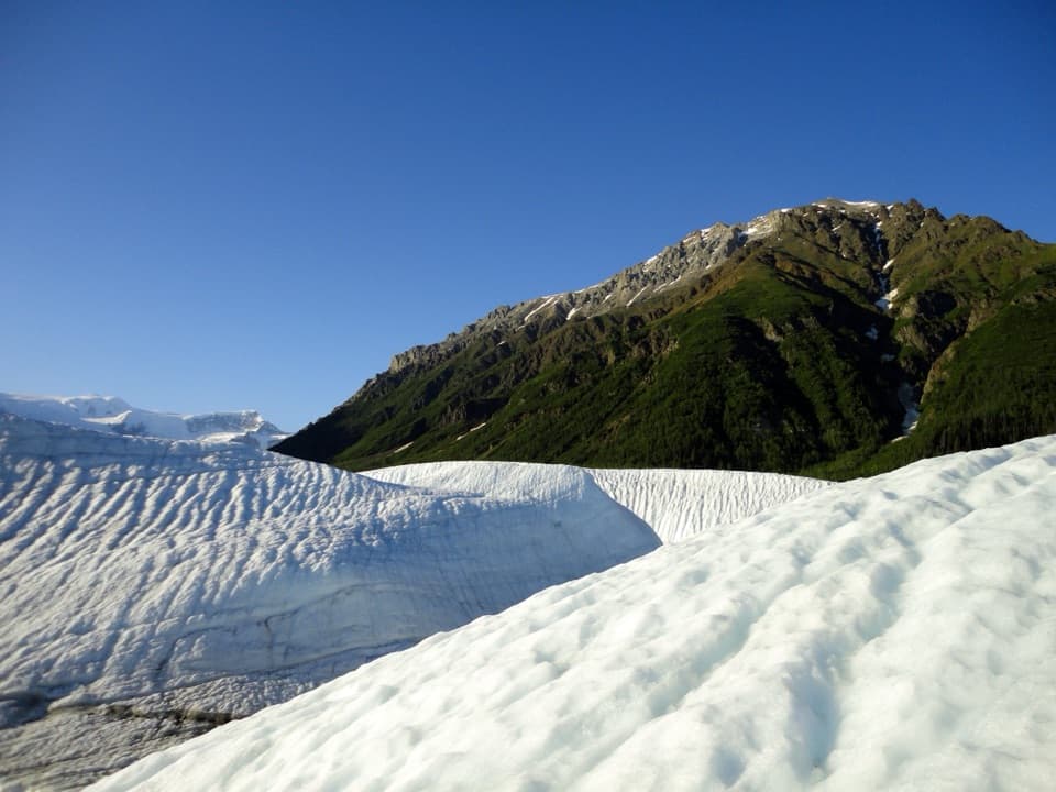
The point lies near the mouth of Taan Fjord, with Guyot Glacier and Icy Bay’s ice country beyond. In summer, icebergs can crowd the upper bay. This is a remote launch into a coast shaped by tidewater glaciers, open water and newly exposed ground, with no developed visitor stop at the point.
A coastline changed in a dayRetreat of the Guyot, Yahtse and Tyndall glaciers since 1900 opened Icy Bay.
Retreat of the Guyot, Yahtse and Tyndall glaciers since 1900 opened Icy Bay. Kageet Point also bears the mark of a sudden event: the 2015 Taan Fiord megatsunami stripped much of its tree cover. That history makes the cape a reminder that this coast changes both slowly under retreating ice and abruptly when unstable slopes give way.
Wildlife
Wildlife in Wrangell-St. Elias
 113 sightingsGrizzly BearMost seen around 9 PMSighting map
 66 sightingsMooseMost seen around 8 PMSighting map
 21 sightingsHumpback WhaleMost seen around 1 PMSighting map
 46 sightingsSteller Sea LionMost seen around 11 AMSighting map
 39 sightingsBlack BearMost seen around 8 PMSighting map
 48 sightingsBald EagleMost seen around 5 PMSighting map
Sighting maps show where each species has been reported across Wrangell-St. Elias. Wildlife moves, so no sighting is guaranteed.