
Place · 0.1 mi away
Moderate
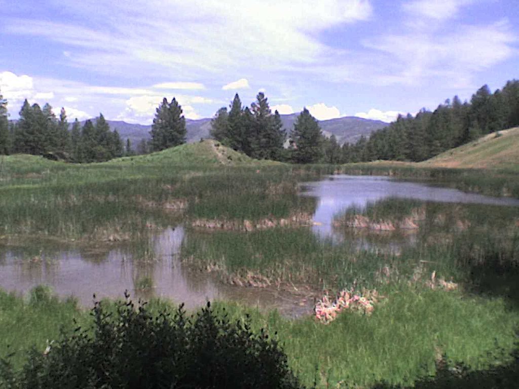
This is a moderate 5.6-mile loop starting right from Mammoth Hot Springs. Expect roughly 700–750 feet of cumulative elevation gain (about 350 feet net) over rolling terrain. Most hikers take 2–3 hours, depending on wildlife stops and photo breaks. It’s a true Yellowstone sampler: open sagebrush meadows, pockets of forest, airy ridge walking, and a string of tranquil ponds about halfway around.
You can begin from several signed access points in Mammoth: north of Liberty Cap near the stone house, behind the Mammoth Hot Springs Hotel at the start of Old Gardiner Road, near Hymen Spring, or behind the Justice Center. Clockwise puts a steeper climb up front to gain the ridge before descending toward the ponds; counterclockwise flips the feel and brings you to the ponds later. The path is narrow, rocky singletrack with a few wooden bridges and occasional short, steep pitches. In a couple of spots the tread can be vague—stay alert for signs and junctions.
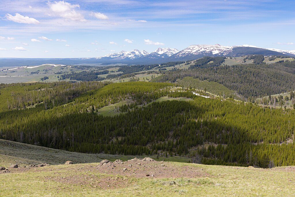
Views swing out over Gardiner Canyon and distant peaks, with wildflower-dotted hillsides in early summer. The beaver ponds—technically on the Montana side of the boundary—are the marquee stop, but manage expectations: you’re more likely to spot muskrats and water birds than active beavers. This loop is excellent for wildlife: elk are common, and both black and grizzly bears frequent the area; badgers show up now and then. Give all animals plenty of space and enjoy from a distance.
Surface is mostly firm, bare ground and rock, with switchbacks handling most elevation changes. Sun-exposed stretches can get hot, and thorny plants along the narrow tread make long pants a smart call. On a busy day around Mammoth the loop can still feel surprisingly quiet, especially if you start early—but closures do happen for bear activity.
Late spring through fall (roughly May–October) is the sweet spot, with early morning offering cooler temps, softer light, and better wildlife chances. After rain, expect muddy patches near the ponds. If thunderstorms are in the forecast, skip it—there are exposed sections where you’re a lightning target and winds can whip.
This is bona fide bear country: carry bear spray, hike in a group if you can, make noise in brushy/low-visibility sections, and give wildlife a very wide berth. Bring 1–2 liters of water per person, sun protection, and a light layer for ridge breezes. Download an offline map; a couple of junctions are easy to stride past when you’re gawking at views.
When this loop is closed for bear activity, a popular nearby alternative with big views is Bunsen Peak. It scratches the climb-and-vista itch without the pond detour.
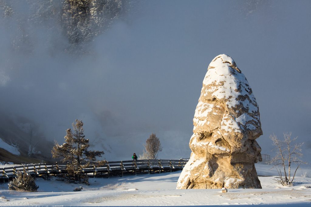
Park in Mammoth Hot Springs near Liberty Cap by the stone house or behind Mammoth Hot Springs Hotel at the start of Old Gardiner Road; additional signed access near Hymen Spring or behind the Justice Center.
Active bear habitat—carry bear spray and know how to use it. Parts of the route are exposed to sun and storms; avoid if thunderstorms are forecast. Sections of tread can be faint; bring an offline map. Thorny plants along narrow trail—long pants help.
Place · 0.1 mi away
Place · 0.1 mi away
Place · 0.2 mi away
Place · 0.2 mi away
Challenging · 0 mi away
Easy · 0.1 mi away
Easy · 0.1 mi away
Easy · 0.4 mi away

Parkwolf Tour Guide
