
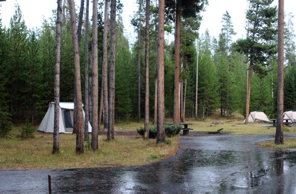
Place · 0.3 mi away
Moderate
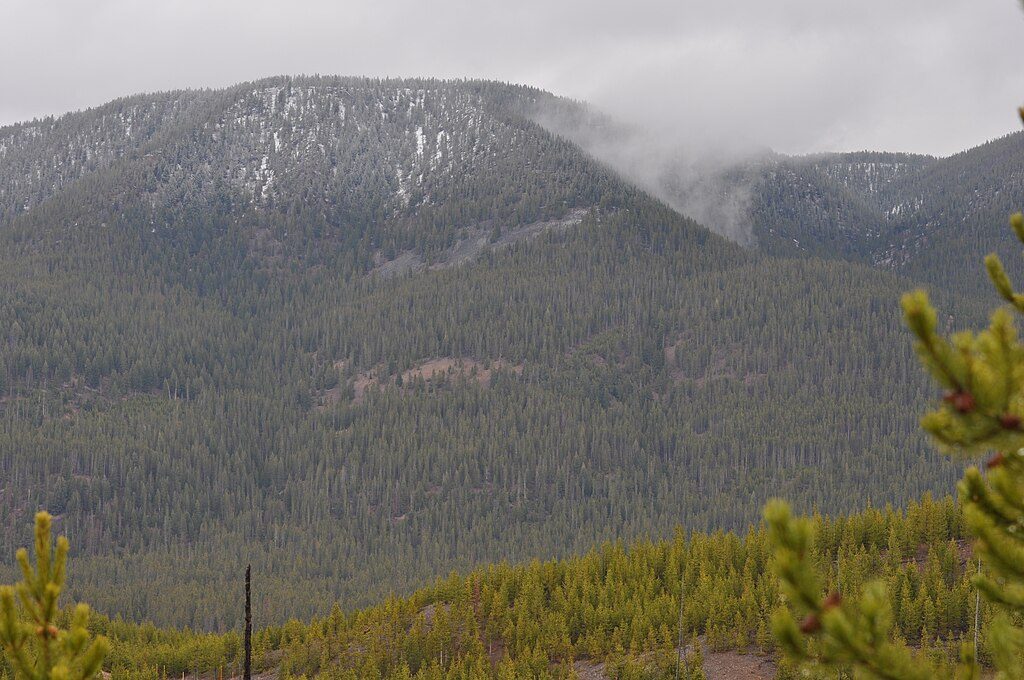
Purple Mountain is a solid, no-frills climb to a knockout overlook above the Madison River country. It’s an out-and-back of about 6.5 miles total with roughly 1,500 feet of gain. Expect a consistent grade rather than short steep bursts—think fitness climb through lodgepole pine forest that pays off with a sweeping panorama of the Madison and Gibbon drainages and the Upper, Middle, and Lower Geyser Basins. On clear days you can even pick out Old Faithful in the distance.
From a small roadside turnout just north/east of Madison Junction, the trail starts across Grand Loop Road. After about 0.1 mile, the uphill begins and doesn’t really let up. Around 1.5 miles in, you’ll hit a series of tight switchbacks that carry you toward the broad, east-facing viewpoint near the top. The main overlook isn’t the true geological summit, but it’s where the views open up as the trees thin. Footing is generally straightforward on a well-worn path with a few narrow, gravelly sections. Crowd levels are usually low—this one’s often overlooked despite being so central.
Most of the climb is enclosed by dense lodgepole forest, so views are limited until the upper third. The payoff is a big one: a wide-angle look over the Madison River Valley and across multiple geyser basins, with their steam plumes tracing the landscape and Old Faithful visible in the distance when conditions are clear. It’s an underrated perspective on the park’s hydrothermal heart without the boardwalk bustle.
Call it moderate to moderately strenuous: steady, sustained elevation rather than technical challenges. If you enjoy a consistent climb and don’t mind earning your views, it’s very satisfying. If you want frequent vistas along the way, this may feel monotonous until the top.
Late spring through early fall is typical, but snow and ice can linger on shaded upper slopes into mid‑July in bigger snow years. Early mornings are best for cooler temps, easier parking, and pleasing light on the east-facing overlook. Afternoon thunderstorms are common in summer—plan to be off the top if thunder threatens.
Bring more water than you think you’ll need—there’s no water on route and the grade is unrelenting. Trekking poles help both up and down. Microspikes can be useful in early season if snow/ice persists. Binoculars add a lot at the viewpoint for spotting distant geyser activity. Expect mosquitoes at times in the forested lower sections.
This is active bear country—carry bear spray, know how to use it, make noise, and give wildlife space. Stay on the established trail. No pets or bikes on this trail. Watch the road crossing at the start/finish, and be weather-aware: if storms build, descend and avoid exposed high points.
Small roadside turnout just north/east of Madison Junction on Grand Loop Road; limited spaces. The trail begins across the road—use caution crossing.
Bear country—carry bear spray and give wildlife space. Steady, sustained climb with some narrow, gravelly switchbacks. No water on trail. Snow/ice may persist into mid‑July. Watch for summer thunderstorms and for traffic at the road crossing.
Place · 0.3 mi away
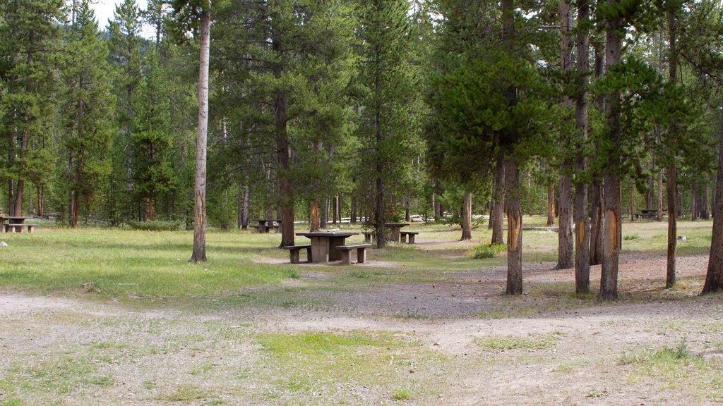
Place · 0.4 mi away
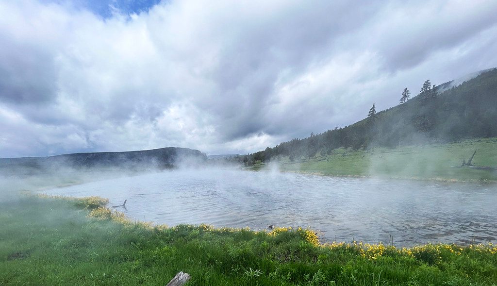
Place · 0.4 mi away
Place · 0.5 mi away
Easy · 0.5 mi away
Easy · 1.6 mi away
Easy · 4.2 mi away
Moderate · 5.2 mi away

Parkwolf Tour Guide
