
Place · 1.2 mi away
Challenging
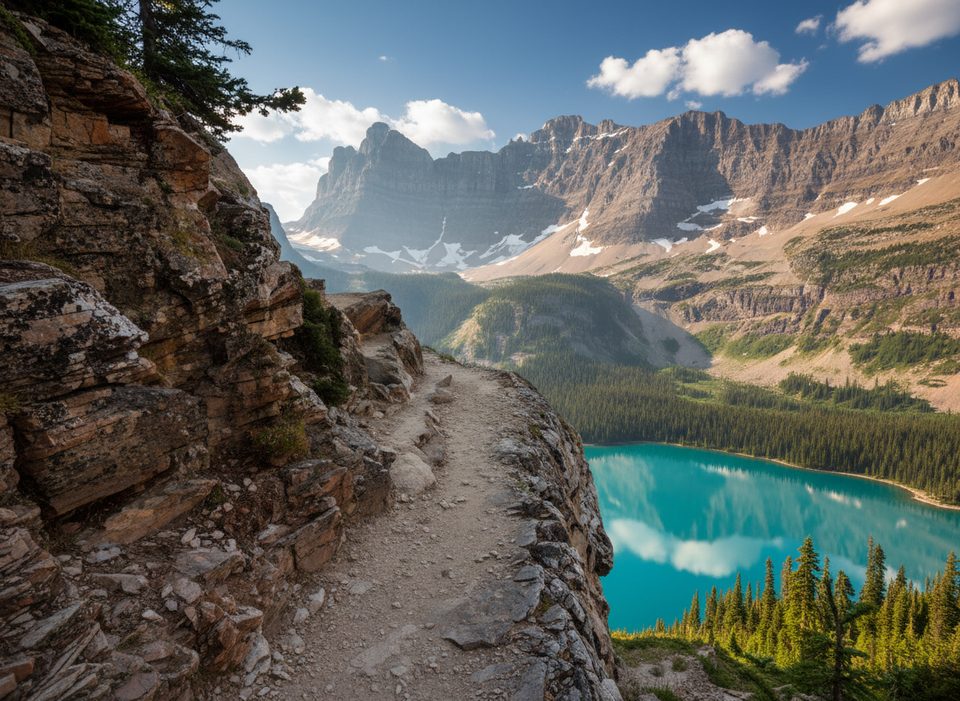
This is an exposed, unmaintained alpine traverse across narrow rock shelves beneath Mount Huber, typically done as the Wiwaxy Gap → Huber Ledges → Lake Oesa section of the Lake O’Hara Alpine Circuit. Expect real exposure, occasional hands-on moves, and cairn-guided route-finding rather than a groomed trail. If heights rattle you, this won’t feel fun.
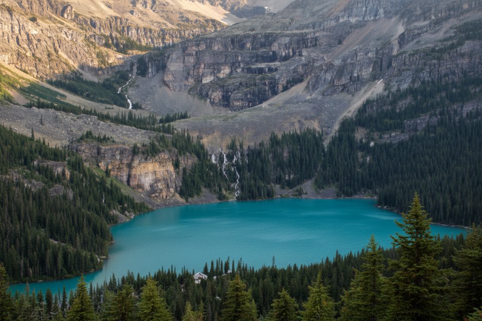
Length-wise, plan on about 2.3 miles from Lake O’Hara up over Wiwaxy Gap and along Huber Ledges to the junction above Lake Oesa. That distance is point-to-point within the broader network, not a stand-alone loop. Many hikers continue down to Lake Oesa and return to the lakeshore, or link other alpine sections. The elevation is front-loaded with the steep climb to Wiwaxy Gap; the ledges then roll across airy traverses with dramatic drop-offs and world-class views of Lake O’Hara and Lake Oesa.
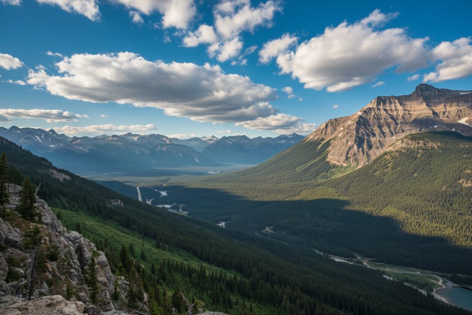
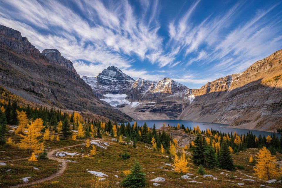
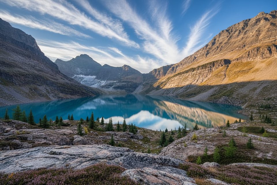
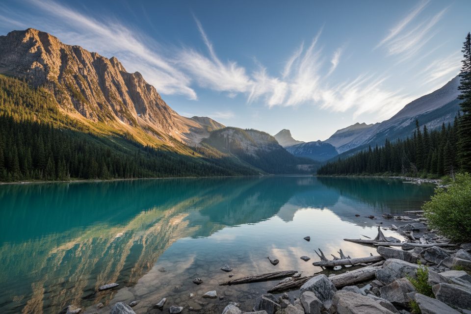
Scenery is the headline: turquoise lakes far below, limestone cliffs, glacial cirques, and in summer, pockets of alpine wildflowers clinging to cracks and meadows between rock bands. You’ll feel the scale of the place the entire way.
Lake O’Hara access is quota controlled. Day users typically need an advance reservation for the Parks Canada shuttle to reach the basin; you cannot drive the road. You can also hike the 11 km access road, but that’s a long add-on for a serious alpine day. Once at Lake O’Hara, the route is signed as an alpine route and marked sporadically with cairns and markers, but it is not a maintained trail. If the exposure or weather turns you back, you can use the lakeshore and connector trails to bail out or stitch a shorter day instead of committing to the whole alpine circuit.
Prime season is late July to mid-September when lingering snow and ice have melted off the ledges and before early autumn storms. September brings golden larch color but also a higher chance of fresh snow. Start early for calmer weather, better light on the lakes below, and to give yourself time if route-finding slows you down.
This route is a thrill for experienced, sure-footed hikers who like big exposure and don’t mind navigating. It’s not for beginners, not great in wet or icy conditions, and a poor choice if you’re uncomfortable with heights. If you want the scenery with less stress, consider exploring the lakeshore and doing just one alpine section you’re comfortable with rather than the full circuit.
Park at the Lake O’Hara day-use lot off the Trans-Canada Highway. From there, take the reserved Parks Canada shuttle up the road (no private vehicles), or hike the 11 km access road to reach the Lake O’Hara trail network.
Exposed ledges with real fall hazard; not a maintained trail. Route-finding is required and snow/ice can linger into summer. Weather changes quickly. Carry bear spray and avoid this route in wet or icy conditions.
Place · 1.2 mi away
Place · 1.9 mi away
Place · 1.9 mi away
Place · 2 mi away
Moderate · 0 mi away
Moderate · 0 mi away
Challenging · 0 mi away
Moderate · 1.2 mi away

Parkwolf Tour Guide
