
Place · 1.2 mi away
Moderate
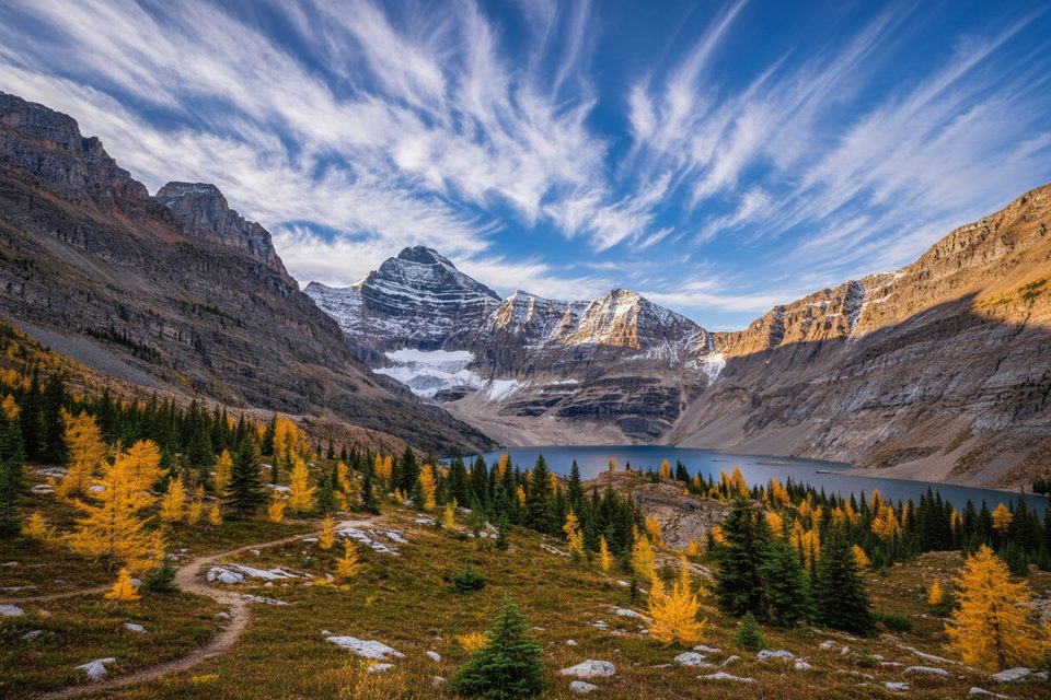
If you can snag access to Lake O’Hara, this is the half‑day alpine classic: a well‑built loop to a shockingly deep‑blue lake set in a stark limestone bowl. It’s quieter than the park’s headline sights, but the scenery punches way above its weight.
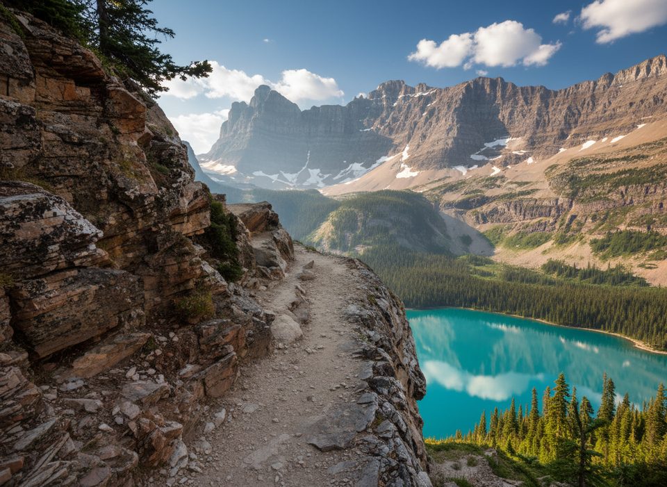
From Le Relais Day Shelter in the Lake O’Hara area, you’ll pass the ACC’s Elizabeth Parker Hut and climb through forest and open meadows toward Schaffer Lake. From there, most hikers make a loop: take the High Level Trail for bigger views and a short, steeper “headwall” step, then return on the gentler Low Level Trail through meadows and rock ledges. Expect abundant signage and a meticulously built path with stone steps and bridges.
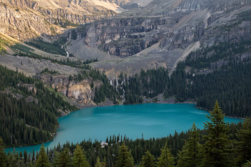
Total distance varies with route choice (roughly 6.3–8 km total), with about 310 m of gain. Plan on 2–4 hours for a steady pace—or a bit more if you linger at the lake. Lake McArthur is the star: a vivid, intensely blue cirque lake beneath rugged peaks, frequently called one of the most beautiful in the Rockies.
You’re walking through classic alpine meadows that bloom in summer and turn golden with larches in mid‑September. Keep an eye out for grizzly habitat in the broader area. Geology nerds: McArthur is a karst lake in a limestone basin with no visible outlet—water seeps out through cracks, which is why you actually hike slightly uphill as you leave the shoreline.
Reaching Lake O’Hara is the crux. Private vehicles are restricted; you must book the Parks Canada bus well in advance or walk the 11 km access road from the parking area to the trailhead at Le Relais. Visitor numbers are tightly managed, and dogs are not permitted in this sensitive area. The trail network is well signed, but bring a map or GPS for confidence—there are multiple junctions (e.g., Big Larches, Odaray Highline) and occasional wildlife‑related restrictions nearby.
Late June through early October is the sweet spot. Expect lingering snow early season and a chance of fresh snow by late September. For peak color, mid‑September larches are superb. Weather is alpine and fickle—sun, rain, or even snow can all happen the same day. Clear skies make the lake’s color pop.
If you’re in the Lake O’Hara area, this loop is a must. The High/Low combo keeps things interesting, the trail work is a joy to walk, and the lake is an all‑timer. If you want something tougher and more committing nearby, look at the All Souls Alpine Route; if you want to add a mellow detour, the Big Larches option can be signed from the junctions.
Park at the Lake O’Hara parking area off the Trans‑Canada Highway; from there, take the reserved Parks Canada bus to Le Relais Day Shelter (trailhead) or walk the 11 km access road.
Alpine conditions change fast—carry layers and rain gear. This is prime grizzly habitat; hike in groups and carry bear spray. Expect a short, steeper step on the High Level approach and possible early/late‑season snow. Nearby routes (e.g., Odaray Highline) can have wildlife restrictions.
Place · 1.2 mi away
Place · 1.9 mi away
Place · 1.9 mi away
Place · 2 mi away
Challenging · 0 mi away
Challenging · 0 mi away
Moderate · 1.2 mi away
Moderate · 1.2 mi away

Parkwolf Tour Guide
