
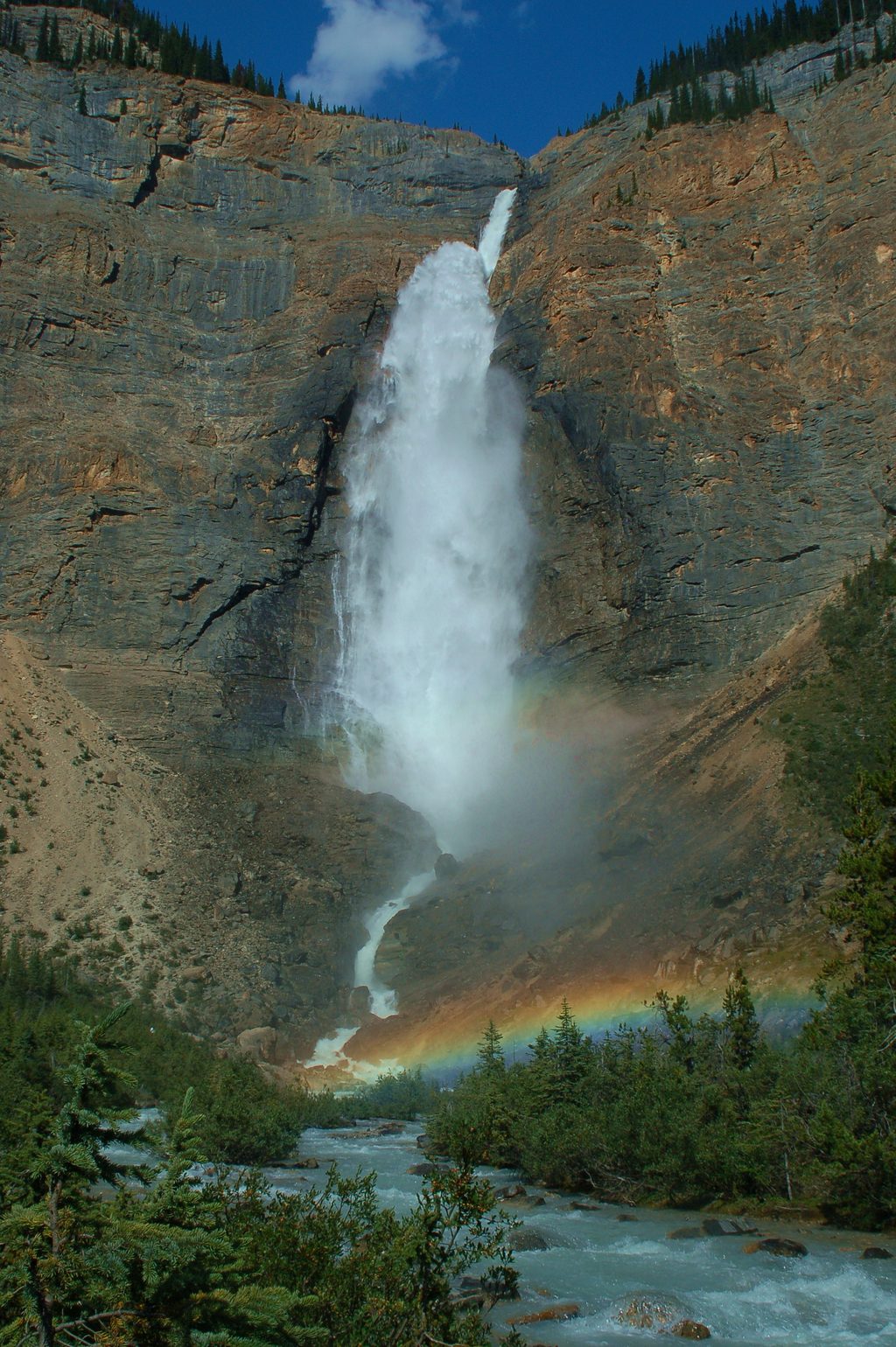
Place · 0.5 mi away
Challenging
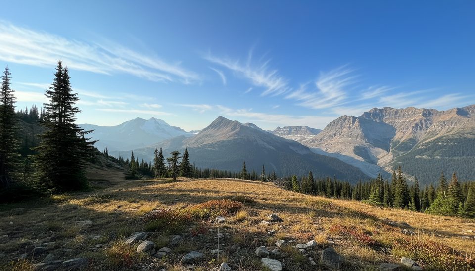
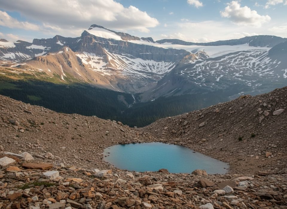
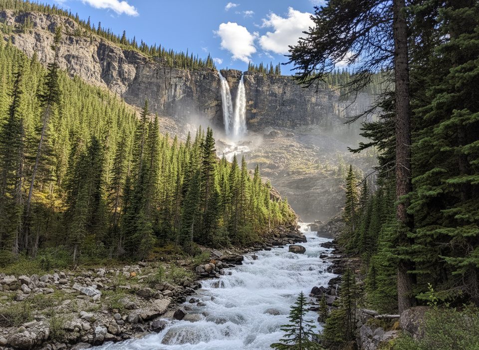
If you’re already heading to Twin Falls, add the Whaleback and you turn a great waterfall hike into a top‑tier alpine day. The ridge pops you above the brink of Twin Falls with big, airy views into Little Yoho Valley, the Waputik Icefield, and peaks like The President and Michael Peak. Expect subalpine meadows, switchbacks, and a very satisfying contrast to the rockier Iceline high country.
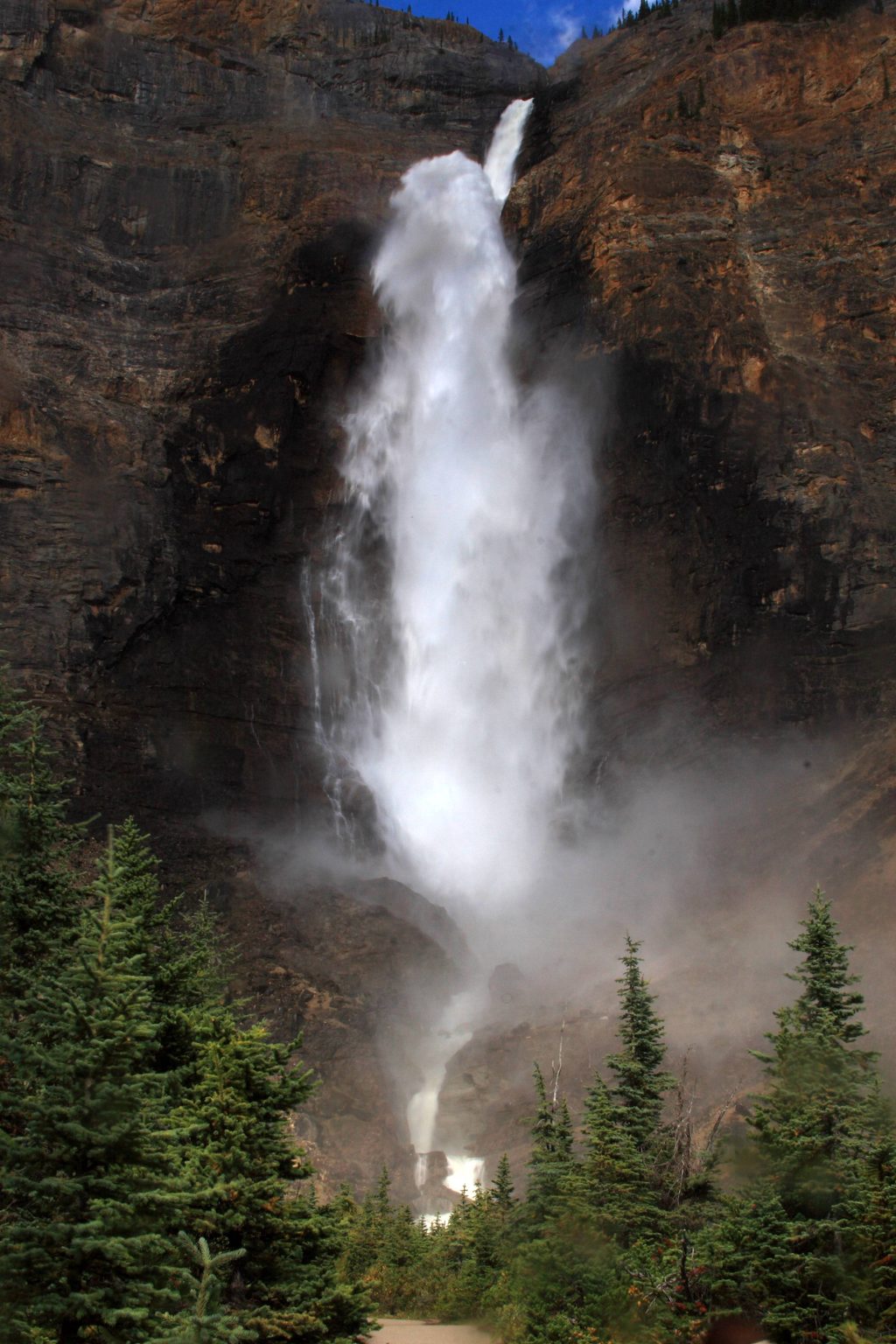
Plan on a 15 km/9.3 mile total loop taking most hikers 6–8 hours, with roughly 800 m of climbing. Start from the Takakkaw Falls parking area, follow the Yoho Valley past Laughing Falls to Twin Falls, then climb the Whaleback above the falls and descend toward Little Yoho to close the loop. Counter‑clockwise is the friendlier direction—your steepest, loosest grades come on the descent instead of the climb. The grade is stout but non‑technical; strong hikers will love it, beginners will not.
The window is short. Yoho Valley Road generally opens mid‑June through mid‑October. A seasonal Whaleback Bridge over Twin Falls Creek is essential for the loop; when it’s not in, high water can make the route impassable. Snow can linger early; after rain, the descent is slippery and loose. Always check current park trail reports before you go.
Absolutely—for fit hikers. It’s a strenuous loop with outsized rewards. If you want even more high‑alpine terrain, the Iceline can be linked into bigger circuits, but Whaleback’s mix of waterfalls, meadow ridge, and valley vistas stands strong on its own.
Park at the Takakkaw Falls parking lot and follow Yoho Valley/Twin Falls signs to the Whaleback junction.
Sheer drop‑offs above Twin Falls with past fatalities; seasonal Whaleback Bridge may be out; steep, loose descent and lingering early‑season snow—check current trail reports.
Place · 0.5 mi away

Place · 0.5 mi away

Place · 1.6 mi away
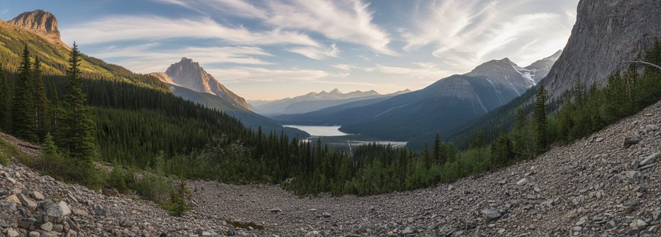
Place · 1.9 mi away
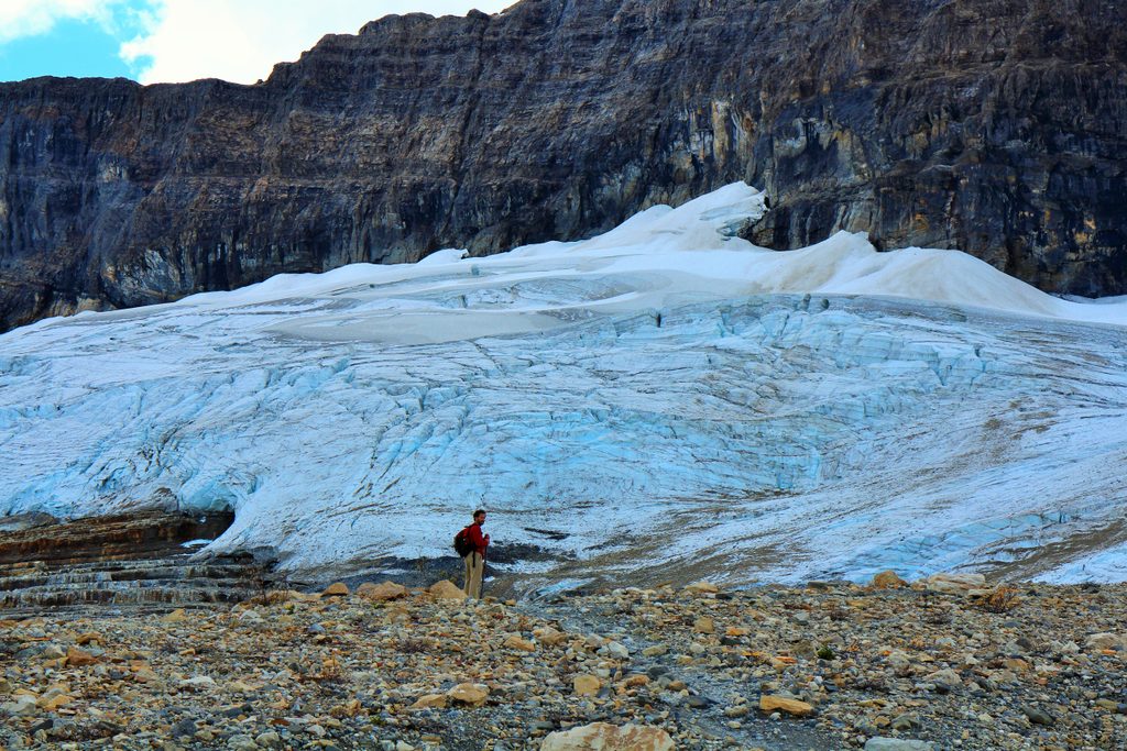
Challenging · 0 mi away
Challenging · 0 mi away
Easy · 0 mi away
Moderate · 0 mi away

Parkwolf Tour Guide
