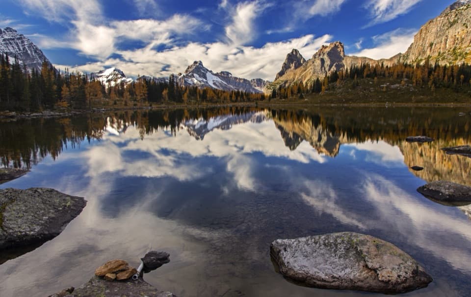
Twin Falls Trail in Yoho National Park

Yoho National Park, BC

Twin Falls Trail

A long valley walk to Yoho's twin cascades and historic tea house.

Photo: Wikimedia Commons
Length
16.8km
Time
5.5hr
Elev. change
312m
Difficulty
Moderate
  • Dogs allowed
  • High point 1,820 m
  • #15 of 54 in Yoho

Hear the audio tour

Takakkaw Falls: A Short Walk to the Spray

Overview

About Twin Falls Trail

Why go

  • Paired waterfalls and a century-old tea house reward the long approach.
  • Optional lower-valley falls and lake detours add variety.

Heads up

  • At 10.4 miles round trip, this takes most of a day.
  • The access road closes seasonally and summer parking fills early.

Map & elevation

The route

Loading the Yoho map
Full map
Elevation1,508–1,820 m
TrailheadTakakkaw Falls parking lot51.49752, -116.48407
Keep this map with you offline in the Parkwolf app

Plan your hike

Before you go

Parking

Start at Takakkaw Falls parking lot at the end of Yoho Valley Road, about 17 km northeast of Field. The lot fills early on summer weekends. The road is seasonal, generally open mid-June through mid-October; vehicles longer than 7 m must reverse around tight switchbacks, and trailers are not permitted.

Safety

This is a 16.8 km return hike in an area with limited cellular service. Parks Canada warns that surface water may be contaminated; do not drink it untreated.

5 active Yoho alerts

  • ClosureYoho Valley Road closed for avalanche seasonYoho Valley Road is closed to vehicles from mid-October to mid-June because of avalanche risk. - Parks Canada’s current trail report lists no vehicle access to trails in the Yoho Valley.Official details
  • CautionWatercraft and angling prohibited in YohoWatercraft use and angling are prohibited on all waterbodies in Yoho National Park until March 31, 2027, to reduce the spread of aquatic invasive species, including whirling disease.Official details
See all 5 alerts
A park ranger sits on a dash-mounted phone, talking, as Parkwolf’s Tour Guide plays “Army Cutworm Moths: A Grizzly Bear Buffet” on Grand Loop Road below Dunraven Pass in Yellowstone
Parkwolf Tour GuideThe highest, rockiest slopes around here are a summer buffet for grizzly bears.

Yoho Tour Guide

Your drive to Twin Falls Trail, narrated.

Parkwolf is a GPS audio tour guide for Yoho National Park. As you drive, it chimes in with what’s ahead: hidden gems, upcoming stops, history, geology, and wildlife, right through your car’s speakers.

See the Yoho audio tour

Recorded for this trailhead

Takakkaw Falls: A Short Walk to the Spray
0:00 / 0:27
“Takakkaw Falls is coming up at the end of Yoho Valley Road, and you don't need a long hike to get close to this one. Follow the short, mostly level paved path toward the falls for the roar and cold spray.”

Plays as you drive up to this trailhead in the Parkwolf Yoho Tour Guide.

More stories near here in the app

  • Iceline and Yoho Lake: Choose Your Hiking Day
  • The Songbird Under the Water
  • The Workers Held at Camp Otter
  • Why Yoho Gets Wetter Toward the Divide
  • 35 audio storiesacross Yoho’s roads, triggered by GPS as you drive
  • Wildlife heatmapsfor Grizzly Bear, Mountain Goat, Black Bear, and 13 more
  • Works offlinemaps, 54 trails, 58 places, and audio download before you lose signal
  • CarPlay readysimple controls built for the drive
★★★★★
“Fantastic app with many points of information… It’s great to just turn on while you’re driving and it gives you an audio tour of the national Park. We love it!!!!”
JMJamesApp Store review
Download Parkwolf on the App StoreGet Parkwolf on Google Play

4.7 from 8,600+ ratings

Trail guide

Hiking Twin Falls Trail

Twin Falls is a long valley dayTwin Falls Trail is a 16.8 km (10.

Twin Falls Trail is a 16.8 km (10.4 mi) out-and-back from Takakkaw Falls parking, following the Yoho Valley Trail through Laughing Falls to Twin Falls and its historic log tea house. Allow about five to six hours, including a stop at the cascades. This is a moderate hike made demanding by its distance, not a quick waterfall stroll.

Pick your turnaround before you startLaughing Falls is 4.5 km from the parking lot.

Laughing Falls is 4.5 km from the parking lot. It makes a good shorter out-and-back of about 9 km (5.6 mi). For Twin Falls, continue another 3.9 km each way. The last stretch narrows and climbs gradually toward the falls. The 6.4 km figure sometimes listed for the Yoho Valley Trail ends at the north end of the valley; it does not reach Twin Falls. The optional Marpole Lake connector creates a different return route, and the 20.5 km Whaleback is a separate circuit; neither is part of this line.

The valley approachThe lower trail follows the Yoho River along the valley bottom.

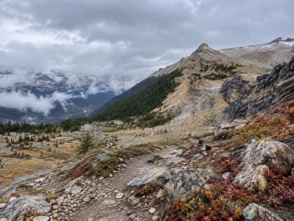
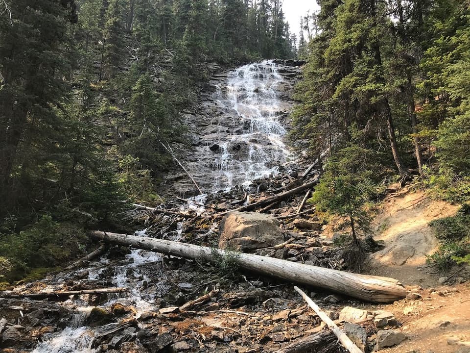
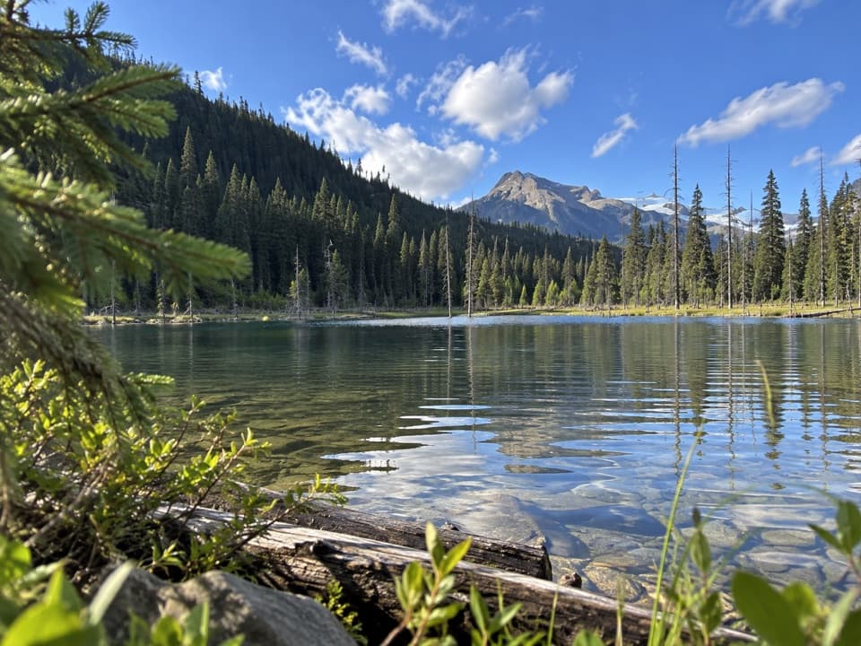
The lower trail follows the Yoho River along the valley bottom. Parks Canada describes this part as packed gravel with minor elevation change. Point Lace Falls, Angels Staircase Falls viewpoint and Duchesnay Lake are optional short detours along the way, so add time if you want to visit them. Beyond Laughing Falls, the official route continues into a longer, moderate section before reaching Twin Falls.

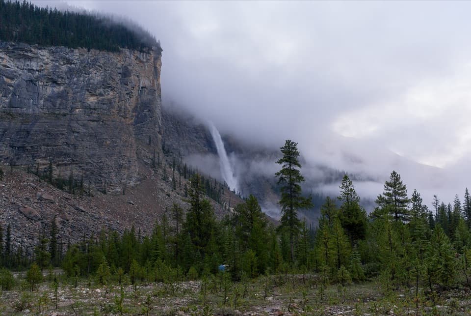
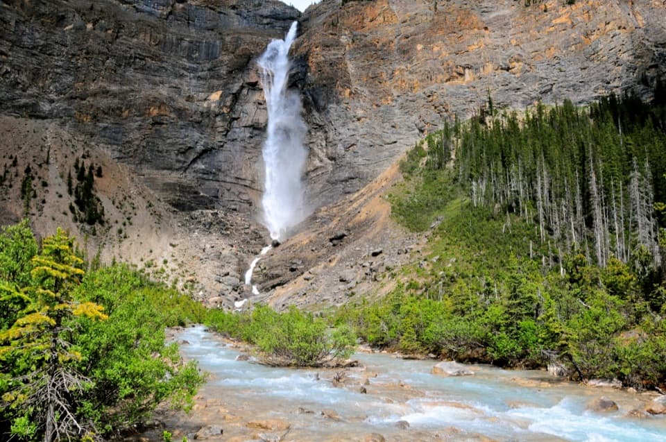
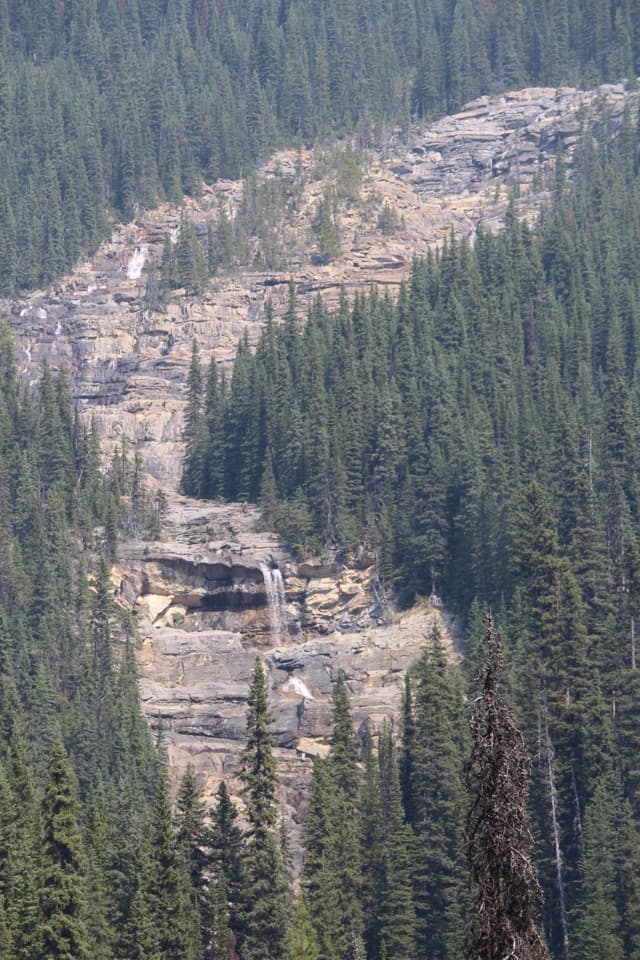
Two cascades and a century-old tea houseTwin Falls is a pair of side-by-side cascades, with the rustic log tea house beside them.

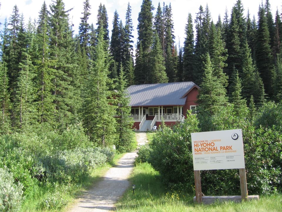
Twin Falls is a pair of side-by-side cascades, with the rustic log tea house beside them. The Canadian Pacific Railway built it in the early 1900s as part of its network of mountain lodges; the Alpine Club of Canada manages the historic site today. Short local paths bring you to different views of the falls and building. Published information does not confirm day-hiker food service, so treat the tea house as a landmark rather than a meal stop unless you verify otherwise.

Getting to the trailheadStart at Takakkaw Falls parking lot at the end of Yoho Valley Road, about 17 km northeast of…

Start at Takakkaw Falls parking lot at the end of Yoho Valley Road, about 17 km northeast of Field. The road is seasonal, generally open from mid-June through mid-October, and the lot fills early on summer weekends. Vehicles longer than 7 m must reverse through the tight switchbacks; trailers are not allowed. Dogs may come on the trail but must stay leashed and under control.

Wildlife

Wildlife in Yoho

All Yoho wildlife maps

Sighting maps show where each species has been reported across Yoho. Wildlife moves, so no sighting is guaranteed.

Keep exploring

Near Twin Falls Trail

See it all on the map

Trails that start nearby

Places near the trailhead

Parkwolf’s Yoho ranking

Top-rated trails in Yoho

All 54 trails
  1. 1Lake O’Hara Alpine CircuitChallenging · 11.1 km
  2. 2Iceline via Little YohoChallenging · 20.3 km
  3. 3Lake McArthur CircuitModerate · 8 km
  4. 4Opabin Plateau CircuitModerate · 6.7 km
  5. 5Emerald Lakeshore TrailEasy · 5.2 km
  6. 6Lake Oesa TrailModerate · 6.4 km

Take Parkwolf to Yoho.

The audio tour guide for the drive, plus offline maps, trails, and wildlife heatmaps for when the signal drops.

4.7 from 8,600+ ratings

Download Parkwolf on the App StoreGet Parkwolf on Google Play