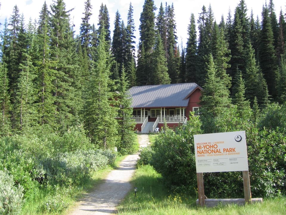
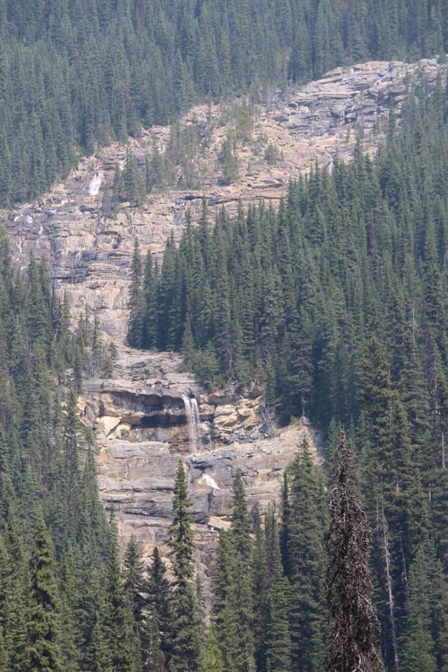
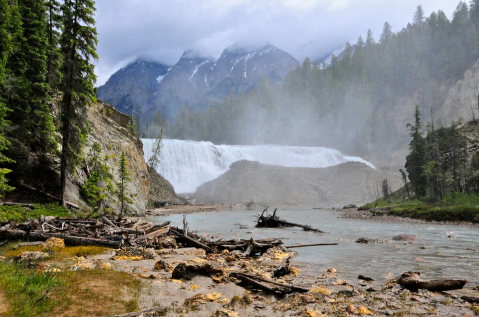
Yoho Lake in Yoho National Park

Sight · Yoho National Park

Yoho Lake

Red chairs and a Wapta reflection reward the uphill hike.

Photo: Flickr
Type
Sight
Nearest trail
2.4 km
Audio stories
4 nearby
  • Trailhead
  • Campground
  • Restrooms
  • Picnic tables

Hear the audio tour

Iceline and Yoho Lake: Choose Your Hiking Day

Overview

About Yoho Lake

Why stop

  • Quiet, vivid lakeshore with red chairs and Mount Wapta views
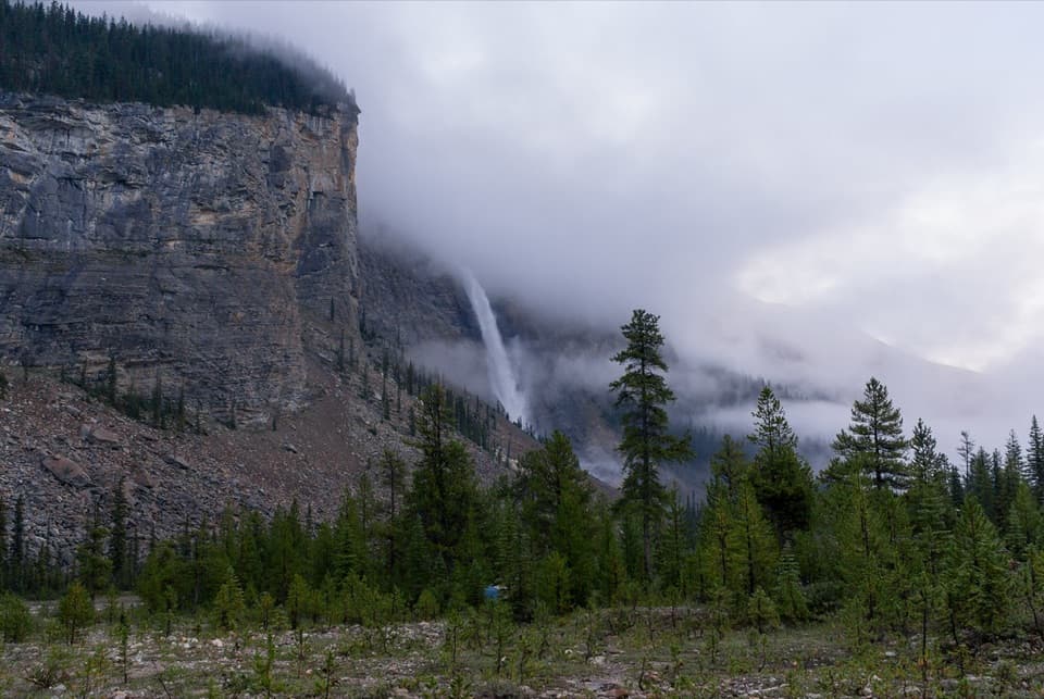
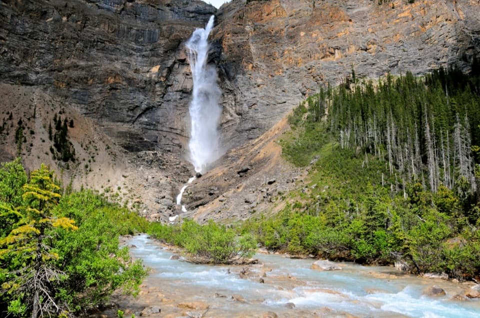
  • The climb gives an elevated view back to Takakkaw Falls

Heads up

  • A 4.9 km one-way hike with a steep first section
  • Yoho Valley Road access is seasonal

Map

Where it is

Loading the Yoho map
Full map
SightYoho Lake51.47459, -116.48492
Keep this map with you offline in the Parkwolf app

Plan your stop

Before you go

Best time to go

The approach uses Yoho Valley Road, which generally opens from mid-June to mid-October. The Takakkaw Falls parking area can fill early on summer weekends, so have a backup plan and check the current road and trail conditions before setting out. Mosquitoes can be persistent in the damp subalpine meadows in summer; bring repellent.

5 active Yoho alerts

  • ClosureYoho Valley Road closed for avalanche seasonYoho Valley Road is closed to vehicles from mid-October to mid-June because of avalanche risk. - Parks Canada’s current trail report lists no vehicle access to trails in the Yoho Valley.Official details
  • CautionWatercraft and angling prohibited in YohoWatercraft use and angling are prohibited on all waterbodies in Yoho National Park until March 31, 2027, to reduce the spread of aquatic invasive species, including whirling disease.Official details
See all 5 alerts
A park ranger sits on a dash-mounted phone, talking, as Parkwolf’s Tour Guide plays “Army Cutworm Moths: A Grizzly Bear Buffet” on Grand Loop Road below Dunraven Pass in Yellowstone
Parkwolf Tour GuideThe highest, rockiest slopes around here are a summer buffet for grizzly bears.

Yoho Tour Guide

Your drive to Yoho Lake, narrated.

Parkwolf is a GPS audio tour guide for Yoho National Park. As you drive, it chimes in with what’s ahead: hidden gems, upcoming stops, history, geology, and wildlife, right through your car’s speakers.

See the Yoho audio tour

Recorded for this place

Iceline and Yoho Lake: Choose Your Hiking Day
0:00 / 0:25
“You're coming up on the Iceline and Yoho Lake trail access, where the hikes start with a steep forest climb.”

Plays as you drive up to Yoho Lake in the Parkwolf Yoho Tour Guide.

More stories near here in the app

  • The Songbird Under the Water
  • Takakkaw Falls: A Short Walk to the Spray
  • The Workers Held at Camp Otter
  • Why Yoho Gets Wetter Toward the Divide
  • 35 audio storiesacross Yoho’s roads, triggered by GPS as you drive
  • Wildlife heatmapsfor Grizzly Bear, Mountain Goat, Black Bear, and 13 more
  • Works offlinemaps, 54 trails, 58 places, and audio download before you lose signal
  • CarPlay readysimple controls built for the drive
★★★★★
“Fantastic app with many points of information… It’s great to just turn on while you’re driving and it gives you an audio tour of the national Park. We love it!!!!”
JMJamesApp Store review
Download Parkwolf on the App StoreGet Parkwolf on Google Play

4.7 from 8,600+ ratings

Guide

More about Yoho Lake

A lake that takes a real hikeYoho Lake is a small backcountry lake in subalpine forest, reached on foot from the Takakkaw…

Yoho Lake is a small backcountry lake in subalpine forest, reached on foot from the Takakkaw Falls area. It is a rewarding destination if you want a quiet shore at the end of a substantial climb; it is not a quick roadside stop. The trail is 4.9 km one way, with about three hours for the return trip, 435 m of climbing and 130 m of descent. Leave room for breaks and the time you will want at the water.

A steep start, then an easier traverseThe route shares its first 1.

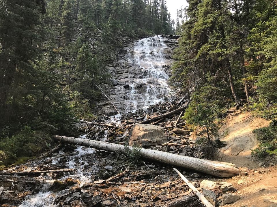
The route shares its first 1.3 km with the Iceline Trail and climbs steeply through roughly 20 switchbacks. Most of the hard uphill comes early. After the trail junction, the grade eases as the path crosses a forested terrace toward Yoho Pass. Look back across the valley for Takakkaw Falls. Near the top of the climb, an old avalanche path can leave the trail slick and muddy, especially after rain.

Walk around to the north shoreThe lake appears through the trees as the trail crosses narrow bridges over its wetlands.

The lake appears through the trees as the trail crosses narrow bridges over its wetlands. A backcountry campground sits along the shore; continue past it to the lake’s north end, where Parks Canada’s red chairs face Mount Wapta across the water. That is the spot for the classic lake view and reflection. Calm water makes the reflection easier to see.

A flower where two ranges meetLook for a pinkish columbine hybrid along the route: it occurs where the ranges of eastern…

Look for a pinkish columbine hybrid along the route: it occurs where the ranges of eastern yellow and western red columbine overlap. It is a small detail on a trail whose main scale comes from the climb, the forested pass and the open water.

A mountaineering camp by the lakeThe shore campground is a basic backcountry stop with picnic tables and a vault toilet; a…

The shore campground is a basic backcountry stop with picnic tables and a vault toilet; a potable-water source was not confirmed, so bring water treatment. This is also an old mountaineering corner of the park: nearly 100 Alpine Club of Canada members gathered at Yoho Pass for the club’s first General Mountaineering Camp in 1906. Campers should keep food, garbage, toiletries and cooking gear secured from wildlife.

Wildlife

Wildlife in Yoho

All Yoho wildlife maps

Sighting maps show where each species has been reported across Yoho. Wildlife moves, so no sighting is guaranteed.

Keep exploring

Near Yoho Lake

See it all on the map

Trails nearby

More stops nearby

Parkwolf’s Yoho ranking

Top sights in Yoho

All 58 places
  1. 1Emerald LakeSight
  2. 2Takakkaw FallsSight
  3. 3Natural BridgeSight
  4. 4Lake O’HaraSight
  5. 5Lower Spiral Tunnel ViewpointSight
  6. 6Wapta FallsSight

Take Parkwolf to Yoho.

The audio tour guide for the drive, plus offline maps, trails, and wildlife heatmaps for when the signal drops.

4.7 from 8,600+ ratings

Download Parkwolf on the App StoreGet Parkwolf on Google Play