
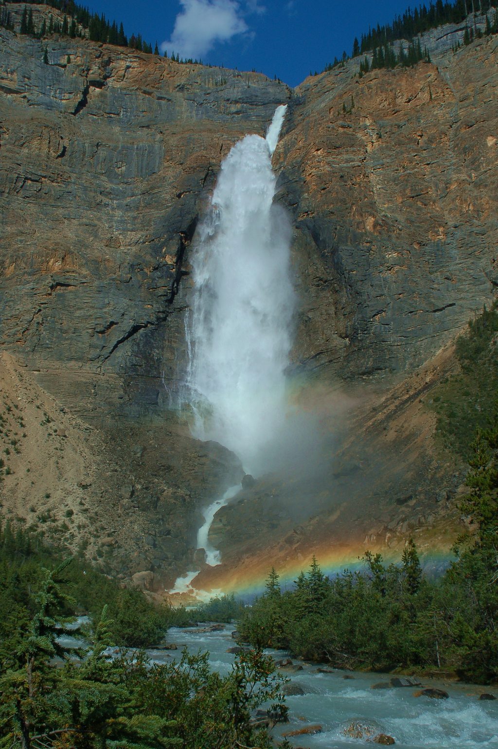
Place · 0.5 mi away
Challenging
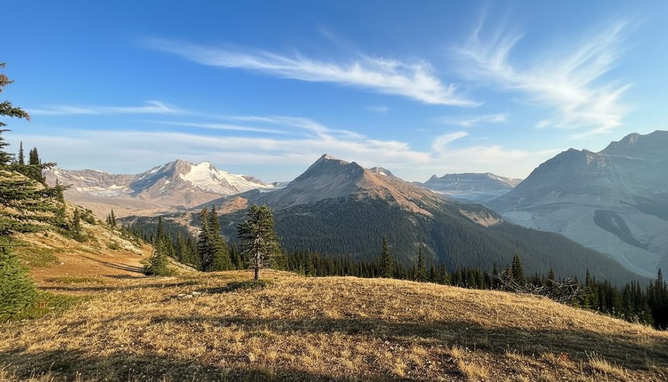
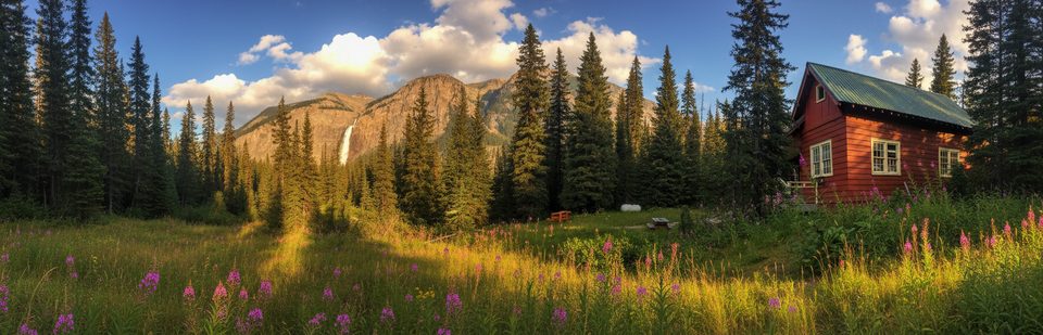
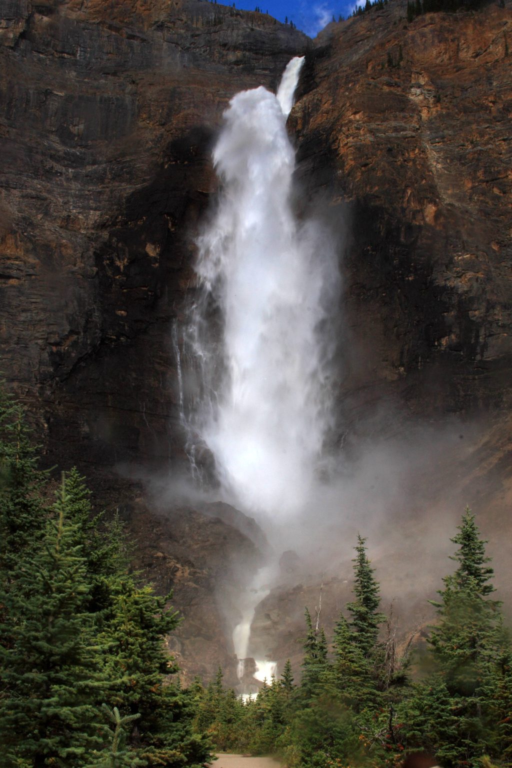
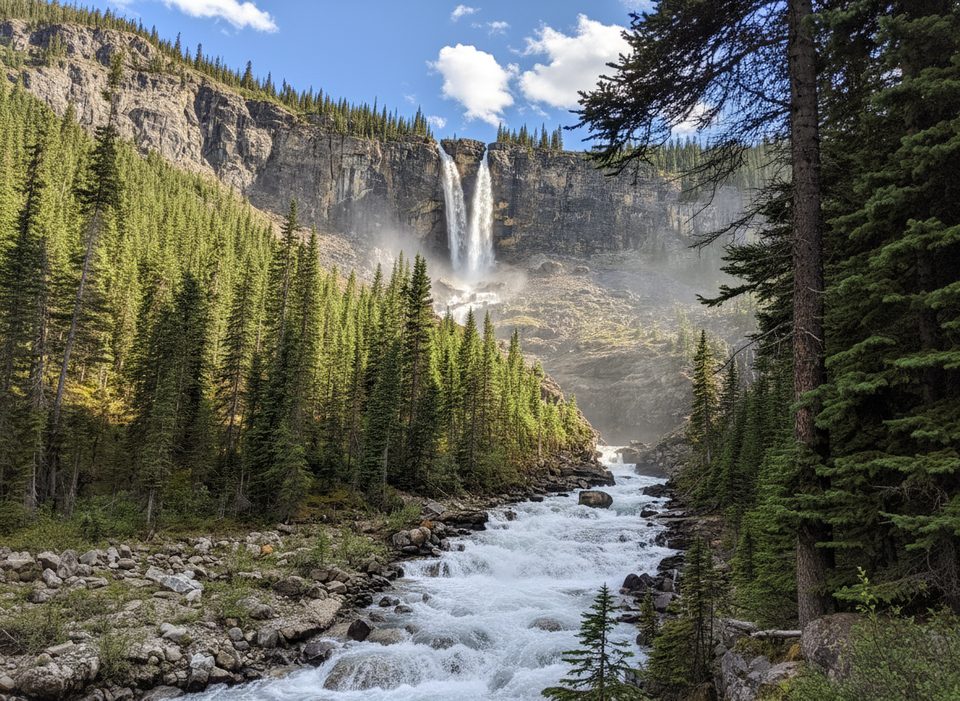
This is the Rockies greatest hits in one demanding loop: thunderous waterfalls, a historic chalet, wildflower meadows, and a ridge traverse with sweeping glacier views. The full circuit is roughly 17.3 miles (27.8 km) total with around 3,900 ft (≈1,200 m) of gain, depending on your exact connectors. Expect a long, rewarding day—or stretch it to a classic multi-day with backcountry camps.
Start at the Takakkaw Falls parking area and head up the Yoho Valley past Laughing Falls toward Twin Falls. From there, climb to the Whaleback and descend into Little Yoho Valley before looping back to the Yoho Valley trail and out. Most hikers go clockwise to keep the steep, thin Whaleback switchbacks as a descent. The tread is mostly dirt with rocky, rooty, and occasionally muddy stretches. Near the end, expect a short gravel-road walk back to the lot.
Best window is mid-July to mid-September when snow has cleared, wildflowers peak, and creek levels are friendlier. Weather swings are real: warm days, cool nights, common thunderstorms, and lingering early-season snow on higher sections. Plan an early start to beat crowds on the Yoho Valley corridor and to give yourself time for side trips to those lesser-known falls.
This is moderate-to-challenging: long distance, real elevation, and a steep, exposed-feeling descent off the Whaleback. Fit hikers can tackle it in a long day; backpackers get a stellar circuit with logical camps. Bring poles for the steeps, layers and rain gear for fast-changing weather, and bear spray with proper food storage.
Expect company near Takakkaw Falls and along the lower Yoho Valley; it thins out around the Whaleback. The loop’s biggest gotchas: the seasonal bridge, that short road-walk finish, and the Whaleback’s narrow switchbacks. If you want more high-alpine time and are comfortable with extra exertion, the nearby Iceline variants can add bigger glacier views—at the cost of more climbing.
Park at the Takakkaw Falls parking area on Yoho Valley Road. The road usually opens mid-June to mid-October; trailers are prohibited and vehicles over 7 m must reverse the tight switchbacks.
Steep, narrow switchbacks on the Whaleback; seasonal bridge over Twin Falls Creek may be out; variable mountain weather with frequent thunderstorms; lingering early-season snow; rocky/rooty and muddy sections.
Place · 0.5 mi away
Place · 0.5 mi away
Place · 1.6 mi away
Place · 1.9 mi away
Challenging · 0 mi away
Challenging · 0 mi away
Easy · 0 mi away
Moderate · 0 mi away

Parkwolf Tour Guide
