
Place · 2.7 mi away
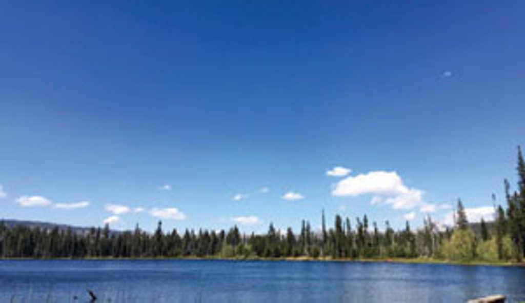
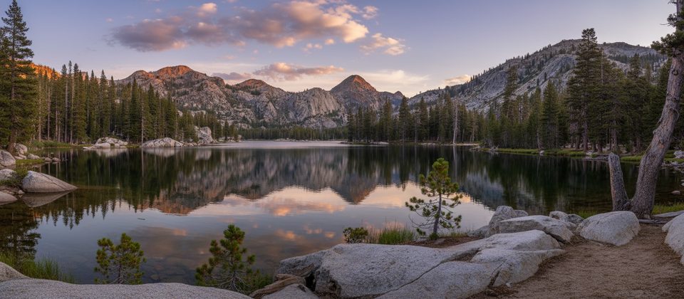
Laurel Lake is a quiet backcountry reward at the end of a stout climb from the Hetch Hetchy side of the park. Expect a remote feel, a glassy lake cupped by granite, and far fewer people than the Valley—exactly why backpackers aim here.
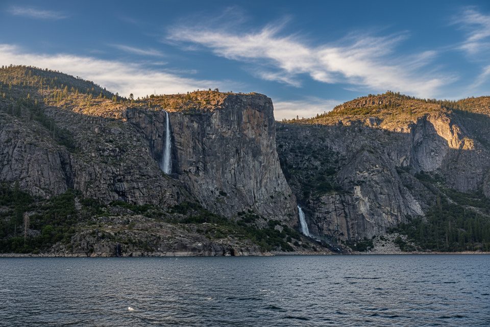
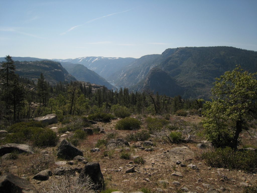
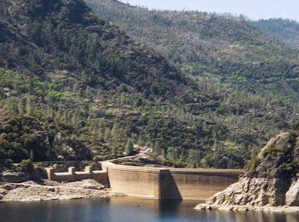
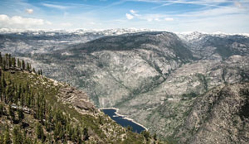
Most hikers start from the Beehive Meadows trailhead above O’Shaughnessy Dam and climb steadily out of Hetch Hetchy before rolling through forested hills to the lake. The out-and-back to Laurel Lake is roughly 14.5 miles with about 3,400 feet of gain, typically taking a long day for strong hikers or a relaxed overnight. Along the way you’ll catch big looks at the Hetch Hetchy Reservoir before the trail settles into quieter high-country terrain.
Laurel’s south shore is the star: broad, flat granite slabs make for comfortable tent spots and easier swim access than the brushier north side. It’s peaceful at dawn and dusk—campers often have stretches of shoreline to themselves. There are no toilets, treated water, or bear lockers here; plan to filter and practice Leave No Trace.
Overnights require a wilderness permit tied to the Beehive Meadows trailhead quota. Reservations are released in two waves (months ahead and again closer to your dates) with a small reservation fee plus a per-person fee, and permits are picked up at wilderness permit stations. Bear-resistant food storage is required. At the Hetch Hetchy/Beanhive Meadows trailhead you’ll find flush toilets, drinking water, and food lockers; there are no facilities at Laurel Lake itself.
If you’re out for 2–3 days, consider linking Laurel Lake with Lake Vernon and Rancheria Falls. Many hikers prefer going clockwise for a hard first-day climb to Vernon and a better overall flow; counterclockwise eases Day 1 to Rancheria Falls but makes for a brutal climb up Tiltill on Day 2.
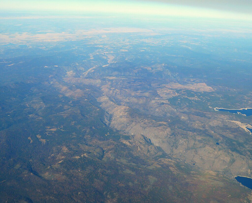
You’re traveling through classic Sierra Nevada granite—strong, massive rock formed tens of millions of years ago—sculpted later by rivers and Ice Age glaciers. The broader Hetch Hetchy area shows the U-shaped valleys, polished slabs, and moraines carved by those glaciers; the smooth granite around Laurel is part of that story.
This is good bear country. Keep a clean camp, store food properly, and give wildlife plenty of space. Quiet mornings and evenings offer your best chances to spot animals at a safe distance.
Place · 2.7 mi away
Place · 2.8 mi away
Place · 3.3 mi away
Place · 3.5 mi away
Challenging · 5 mi away
Challenging · 5 mi away
Challenging · 6.2 mi away
Easy · 13.4 mi away

Parkwolf Tour Guide
