Parking
Follow Hetch Hetchy Road about six miles beyond the entrance station to the signed Smith Meadows trailhead. Parking capacity and fees are not specified.

Yosemite National Park, CA
A long climb to Hetch Hetchy's highest summit.
Overview
Map & elevation
Plan your hike
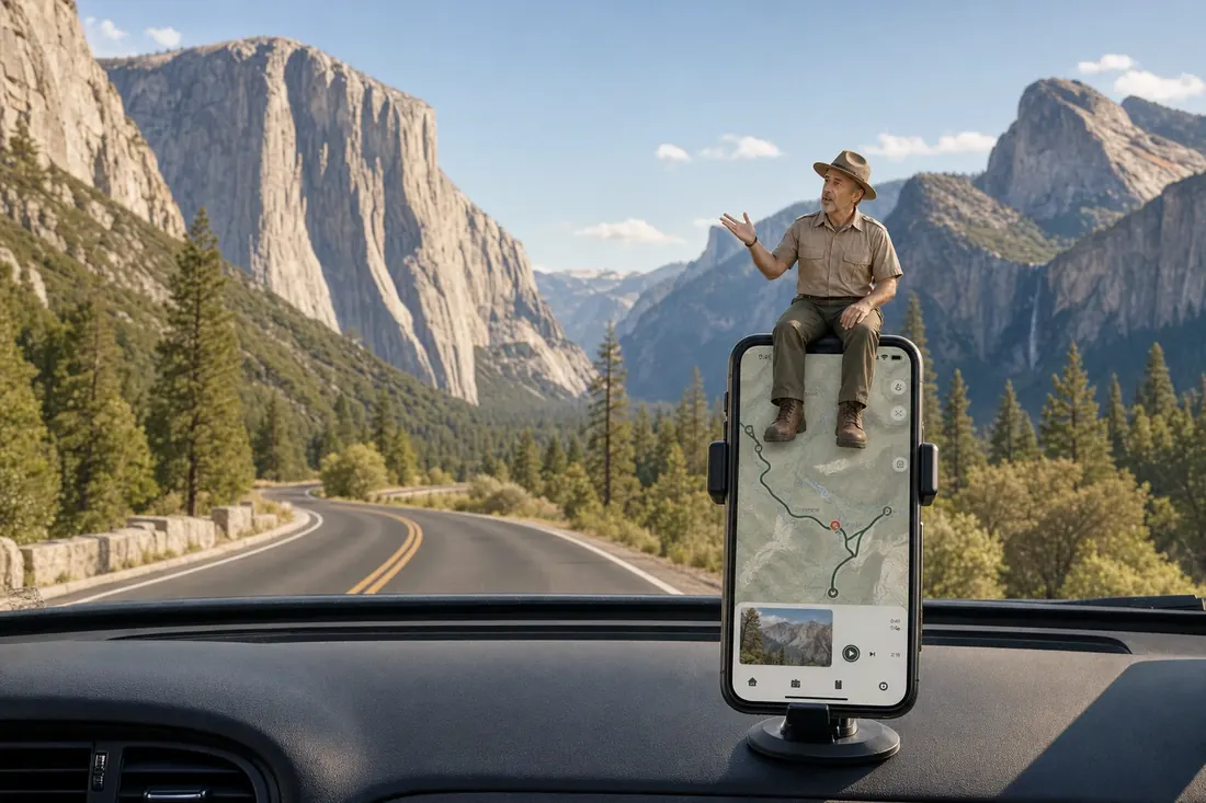
“You're approaching Smith Meadows Trailhead, the start of the long climb to Smith Peak.”
Yosemite Tour Guide
Parkwolf is a GPS audio tour guide for Yosemite National Park. As you drive, it chimes in with what’s ahead: hidden gems, upcoming stops, history, geology, and wildlife, right through your car’s speakers.
See the Yosemite audio tourRecorded for this trailhead
Smith Peak from Smith Meadows Trailhead“You're approaching Smith Meadows Trailhead, the start of the long climb to Smith Peak.”
Plays as you drive up to this trailhead in the Parkwolf Yosemite Tour Guide.
More stories near here in the app
“We just drove through Yosemite and it made our trip listening to this app as we drove through. Like having a tour guide in the car with you.”


Trail guide
Smith Peak Trail is a strenuous out-and-back from the signed Smith Meadows trailhead to a granite summit above Hetch Hetchy. Plan on 13.5 miles round trip, about 3,500–3,700 feet of climbing, and six to eight hours. It is a long day with a steep opening climb and a brushy, less-defined finish. The payoff is a high, open view over the reservoir and Yosemite’s remote north country. Hetch Hetchy Road is open only from sunrise to sunset, so start early and leave daylight for the return.
The trail gains about 1,200 feet in its first 2.2 miles. It starts under trees, then moves through open shrubs and fire-scorched snags as the views widen. The climb eases later, but save some energy; the steepest-feeling work is not all behind you. The return follows the same corridor, so leave daylight for a careful descent and any slow route-finding.
The route follows Cottonwood Creek through forest toward Smith Meadow, where wetland, open grass and woodland meet. This is the gentler part of the ascent and a welcome change of scenery. The creek is not a dependable drinking-water plan: bring enough water for the whole day.
Near the meadow, concrete remnants mark an old cabin, though its story is not documented. Beyond it the trail climbs again, leaves much of the shade, and crosses a wet area where the tread can be hard to pick out. The upper slope is exposed and can feel hot; Smith Meadow is a good place to reset because the climb is not finished. The upper approach is often described as overgrown and difficult to follow; hikers have reported thorny, waist-high brush in the final mile. Expect to slow down and watch for the faint path rather than assuming a clear, maintained track all the way up.
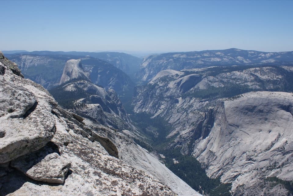
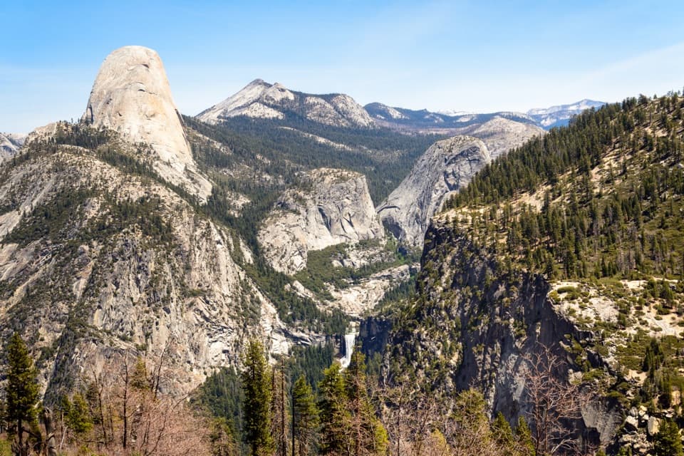
The ridgeline sign is not the true high point. A short scramble through shrubs reaches the granite top at 7,751 feet, the highest point in the Hetch Hetchy area. The reservoir sits far below, with the northern backcountry and distant High Sierra peaks beyond it. For a photo, keep a little foreground granite or pine in the frame with the water so the depth reads.
Follow Hetch Hetchy Road about six miles beyond the entrance station to the signed Smith Meadows trailhead; starting at the entrance station instead makes the hike about 16 miles round trip. The road is open only from sunrise to sunset, so start early enough to return before the gate closes. Winter snow and ice can limit road access. A day hike does not require a wilderness permit, but overnight travel does. Pets are not allowed on Yosemite hiking trails. No food service, dependable water or trailhead parking capacity is established for this route.
Wildlife
 732 sightingsBlack BearMost seen around 7 PMSighting map
 1,747 sightingsMule DeerMost seen around 6 PMSighting map
 332 sightingsCoyoteMost seen around 7 PMSighting map
 11 sightingsPeregrine FalconMost seen around 8 AMSighting map
 276 sightingsPikaMost seen around 8 AMSighting map
 677 sightingsYellow-bellied MarmotMost seen around 8 AMSighting map
Sighting maps show where each species has been reported across Yosemite. Wildlife moves, so no sighting is guaranteed.
Keep exploring
 ChallengingMiguel Meadow, Lake Eleanor and Laurel Lake Loop26.2 mi · 14 hr · 1.4 mi awayA remote Hetch Hetchy loop linking Lake Eleanor and Laurel Lake.
 ModerateWapama Falls Trail5 mi · 3 hr · 1.4 mi awayWalk a reservoir shore to bridges beneath Yosemite’s Wapama Falls.
 ChallengingLaurel Lake Trail14.2 mi · 8.5 hr · 1.5 mi awayA strenuous out-and-back to a quiet lake above Hetch Hetchy.
 ChallengingLake Vernon Trail19.1 mi · 10 hr · 1.5 mi awayA long, exposed climb ends at Lake Vernon’s granite shore.
 ChallengingNorth Mountain Lookout Trail26.7 mi · 12.5 hr · 1.5 mi awayA full-day climb from Hetch Hetchy to the North Mountain view
 ChallengingPoopenaut Valley Trail2.5 mi · 3.5 hr · 1.5 mi awayPoopenaut’s steep drop to the Tuolumne, with a harder climb back
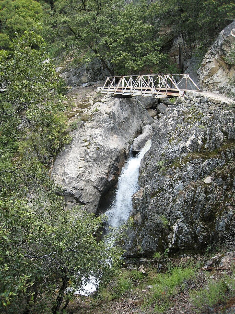 ChallengingRancheria Falls Trail13.4 mi · 7 hr · 1.6 mi awayA long reservoir-side hike to the falls beyond Wapama.
 ChallengingLaurel Lake, Lake Vernon and Rancheria Falls Loop29 mi · 1 day · 1.7 mi awayGranite lakes, an exposed ridge, and a waterfall on one long loop.
 Sight · 1.5 mi awayO'Shaughnessy Dam and Hetch Hetchy ReservoirWalk the dam for reservoir views and a trail toward two waterfalls.
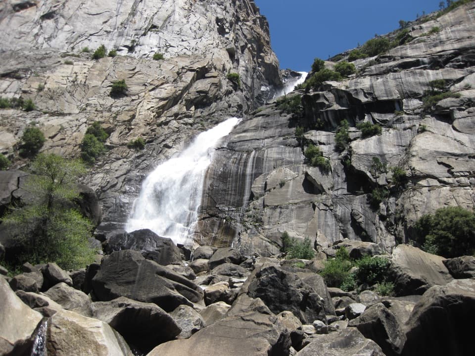 Sight · 3 mi awayWapama FallsA granite tunnel and reservoir hike lead to a 1,400-foot waterfall.
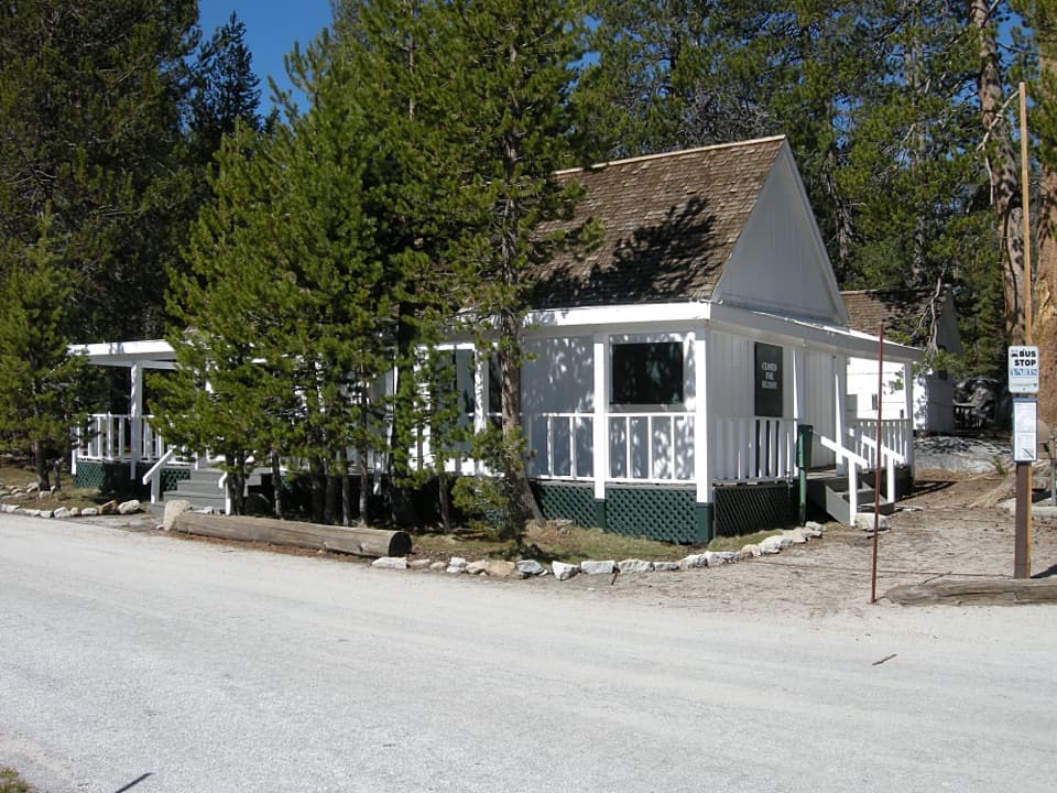 Lodging · 8.9 mi awayWhite Wolf LodgeA remote cabin base near two high-country lake hikes.
 Campground · 8.9 mi awayWhite Wolf CampgroundA quiet forest base near the Lukens and Harden Lakes trailheads.
 Sight · 9 mi awaySiesta LakeA quiet alpine lake with forest reflections.
 Campground · 9.6 mi awayHodgdon Meadow CampgroundA west-side base, with Yosemite Valley about 45 minutes away.
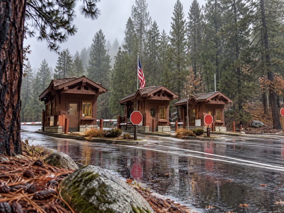 Entrance station · 9.7 mi awayBig Oak Flat EntranceThe park’s colorful sign is just beyond the Highway 120 fee booths.
 Visitor center · 9.8 mi awayBig Oak Flat Information StationGet wilderness permits, maps and useful advice before heading deeper.
Parkwolf’s Yosemite ranking

The audio tour guide for the drive, plus offline maps, trails, and wildlife heatmaps for when the signal drops.