Parking
Shingle Springs Trailhead, reached by Cherry Lake Road and a final rough dirt spur. High-clearance vehicles are recommended.

Yosemite National Park, CA
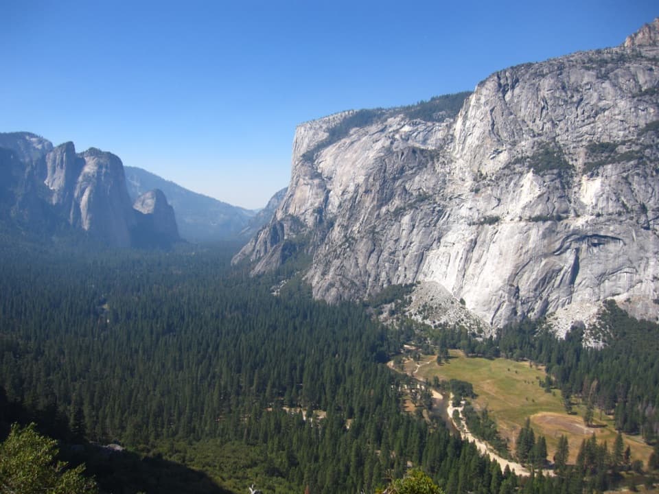
A long ridge walk to a wide granite view at Styx Pass.
Overview
Map & elevation
Plan your hike
Yosemite Tour Guide
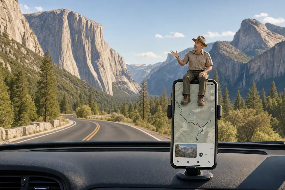
Parkwolf is a GPS audio tour guide for Yosemite National Park. As you drive, it chimes in with what’s ahead: hidden gems, upcoming stops, history, geology, and wildlife, right through your car’s speakers.
See the Yosemite audio tour“We just drove through Yosemite and it made our trip listening to this app as we drove through. Like having a tour guide in the car with you.”


Trail guide
Kibbie Ridge Trail is an out-and-back from Shingle Springs to Styx Pass, about 9 miles each way and 18 miles round trip. It follows a forested ridge before opening into broad granite country at the pass. This is a hard, all-day outing; allow around 10 to 12 hours for the climb, the view and the long return.
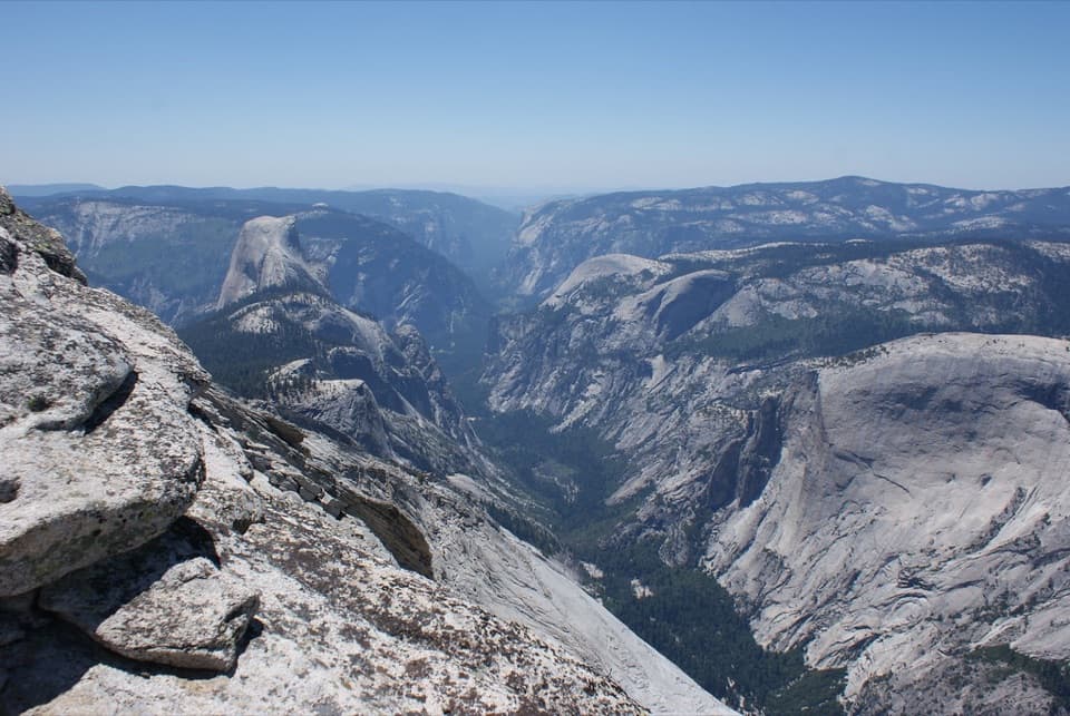
The route climbs from the Shingle Springs access to a high point near 7,950 feet, then drops slightly to Styx Pass at about 7,680 feet. Granite slopes and distant domes open up around the pass, the clear turnaround for this hike. A line continues toward the lake country beyond it, but Boundary Lake and its cross-country approaches are a separate, rougher objective.
Start at Shingle Springs Trailhead. The final drive from Cherry Lake Road is a rough dirt approach, and high clearance is recommended. Pets are not allowed on Yosemite trails or in wilderness. If you extend the trip to camp near Kibbie Lake or Lake Eleanor, the Forest Service has a separate overnight permit quota for those destinations; check the current rule before setting out.
Wildlife
 732 sightingsBlack BearMost seen around 7 PMSighting map
 1,747 sightingsMule DeerMost seen around 6 PMSighting map
 332 sightingsCoyoteMost seen around 7 PMSighting map
 11 sightingsPeregrine FalconMost seen around 8 AMSighting map
 276 sightingsPikaMost seen around 8 AMSighting map
 677 sightingsYellow-bellied MarmotMost seen around 8 AMSighting map
Sighting maps show where each species has been reported across Yosemite. Wildlife moves, so no sighting is guaranteed.
Keep exploring
 ChallengingKibbie Lake Trail11.9 mi · 7 hr · 1.7 mi awayGranite domes, creek pools, and a different way back.
 EasyLake Eleanor Trail5.5 mi · 2.5 hr · 2.7 mi awayPines give way to Lake Eleanor framed by granite bluffs.
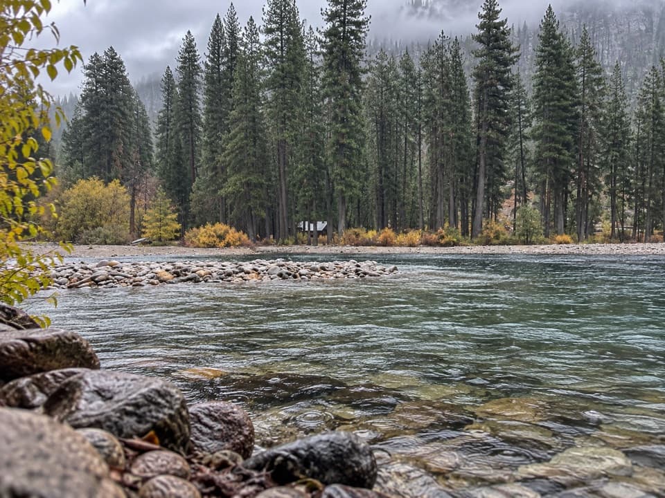 ModerateFrog Creek Falls Trail6.5 mi · 3.5 hr · 2.7 mi awayA remote lake walk carries on to a small creekside cascade.
 ChallengingLaurel Lake, Lake Vernon and Rancheria Falls Loop29 mi · 1 day · 6.8 mi awayGranite lakes, an exposed ridge, and a waterfall on one long loop.
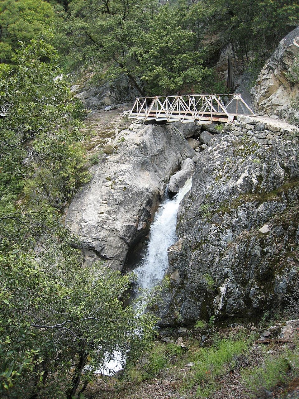 ChallengingRancheria Falls Trail13.4 mi · 7 hr · 6.9 mi awayA long reservoir-side hike to the falls beyond Wapama.
 ChallengingLaurel Lake Trail14.2 mi · 8.5 hr · 7.1 mi awayA strenuous out-and-back to a quiet lake above Hetch Hetchy.
 ChallengingLake Vernon Trail19.1 mi · 10 hr · 7.1 mi awayA long, exposed climb ends at Lake Vernon’s granite shore.
 ChallengingNorth Mountain Lookout Trail26.7 mi · 12.5 hr · 7.1 mi awayA full-day climb from Hetch Hetchy to the North Mountain view
Parkwolf’s Yosemite ranking

The audio tour guide for the drive, plus offline maps, trails, and wildlife heatmaps for when the signal drops.