Parking
Use the signed Poopenaut Valley turnout on Hetch Hetchy Road, about four miles past the entrance station. Parking is very limited.

Yosemite National Park, CA
Poopenaut’s steep drop to the Tuolumne, with a harder climb back
Overview
Map & elevation
Plan your hike
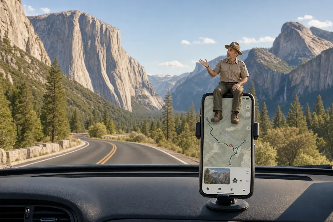
“Poopenaut Valley Trailhead is coming up, for a steep walk down to a meadow beside the Tuolumne River. Don't let the short distance fool you: allow three to four hours for about two and a half miles round trip.”
Yosemite Tour Guide
Parkwolf is a GPS audio tour guide for Yosemite National Park. As you drive, it chimes in with what’s ahead: hidden gems, upcoming stops, history, geology, and wildlife, right through your car’s speakers.
See the Yosemite audio tourRecorded for this trailhead
Poopenaut Valley Trailhead“Poopenaut Valley Trailhead is coming up, for a steep walk down to a meadow beside the Tuolumne River. Don't let the short distance fool you: allow three to four hours for about two and a half miles round trip.”
Plays as you drive up to this trailhead in the Parkwolf Yosemite Tour Guide.
More stories near here in the app
“We just drove through Yosemite and it made our trip listening to this app as we drove through. Like having a tour guide in the car with you.”


Trail guide
Poopenaut Valley Trail is an out-and-back from the signed Hetch Hetchy Road turnout to the Tuolumne River in Poopenaut Valley. Published totals range from about 2 to 2.5 miles round trip; the mapped tread is roughly a mile each way, so use 2.5 miles for conservative planning. Allow 3–4 hours and expect the effort to come on the steep climb back to the car.
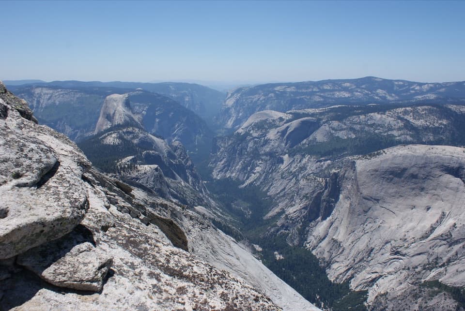
The path leaves an open roadside slope, where spring wildflowers can show, then turns into the woods and drops sharply on narrow dirt. Gaps in the trees give occasional looks toward O’Shaughnessy Dam and the valley. Around 0.7 mile, the tread reaches a creek and follows a gully edge; near 0.9 mile it eases through meadow before ending at the river.
The river is the turnaround; retrace the same route uphill. Some pitches are reported above a 40 percent grade, so a short mileage count does not make this an easy hike. If the climb back is beyond anyone in your party, stay at the road. There is no alternate trail out.
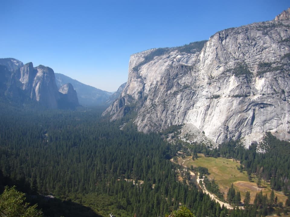
The meadow opens onto the Tuolumne River between granite slopes. This is the route’s payoff and a good photo stop; frame the river bend with meadow in the foreground to show the valley’s scale. Spring can add wildflowers near the open start.
Use the signed turnout on Hetch Hetchy Road, about four miles past the entrance station; parking is very limited. The road is open from sunrise to sunset, and winter ice or snow can close it or require chains. Pets are prohibited on Yosemite hiking trails.
Wildlife
 732 sightingsBlack BearMost seen around 7 PMSighting map
 1,747 sightingsMule DeerMost seen around 6 PMSighting map
 332 sightingsCoyoteMost seen around 7 PMSighting map
 11 sightingsPeregrine FalconMost seen around 8 AMSighting map
 276 sightingsPikaMost seen around 8 AMSighting map
 677 sightingsYellow-bellied MarmotMost seen around 8 AMSighting map
Sighting maps show where each species has been reported across Yosemite. Wildlife moves, so no sighting is guaranteed.
Keep exploring
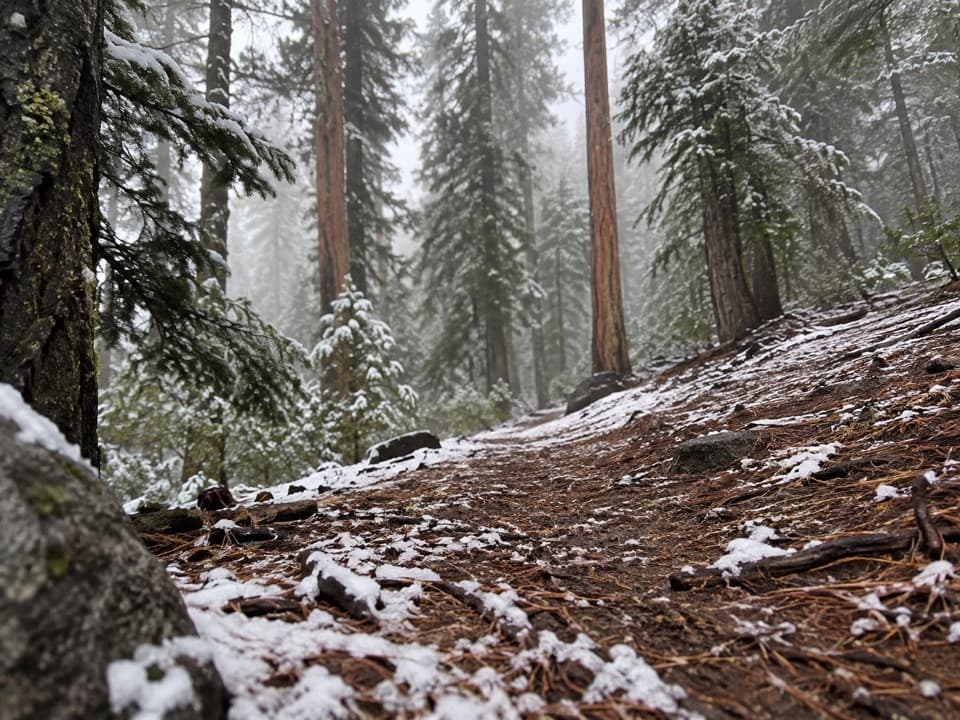 ChallengingCottonwood Meadow Trail3.9 mi · 3.5 hr · 1.5 mi awayA steep backcountry climb to a wet meadow with uncertain tread.
 ChallengingSmith Peak Trail13.5 mi · 7 hr · 1.5 mi awayA long climb to Hetch Hetchy's highest summit.
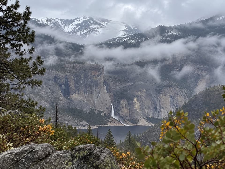 ModerateLookout Point Trail2.8 mi · 1.5 hr · 1.9 mi awayA short rocky overlook with distant Hetch Hetchy views.
 ChallengingMiguel Meadow, Lake Eleanor and Laurel Lake Loop26.2 mi · 14 hr · 2.9 mi awayA remote Hetch Hetchy loop linking Lake Eleanor and Laurel Lake.
 ModerateWapama Falls Trail5 mi · 3 hr · 2.9 mi awayWalk a reservoir shore to bridges beneath Yosemite’s Wapama Falls.
 ChallengingLaurel Lake Trail14.2 mi · 8.5 hr · 2.9 mi awayA strenuous out-and-back to a quiet lake above Hetch Hetchy.
 ChallengingLake Vernon Trail19.1 mi · 10 hr · 2.9 mi awayA long, exposed climb ends at Lake Vernon’s granite shore.
 ChallengingNorth Mountain Lookout Trail26.7 mi · 12.5 hr · 2.9 mi awayA full-day climb from Hetch Hetchy to the North Mountain view
 Sight · 3 mi awayO'Shaughnessy Dam and Hetch Hetchy ReservoirWalk the dam for reservoir views and a trail toward two waterfalls.
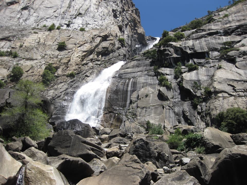 Sight · 4.5 mi awayWapama FallsA granite tunnel and reservoir hike lead to a 1,400-foot waterfall.
 Campground · 8.1 mi awayHodgdon Meadow CampgroundA west-side base, with Yosemite Valley about 45 minutes away.
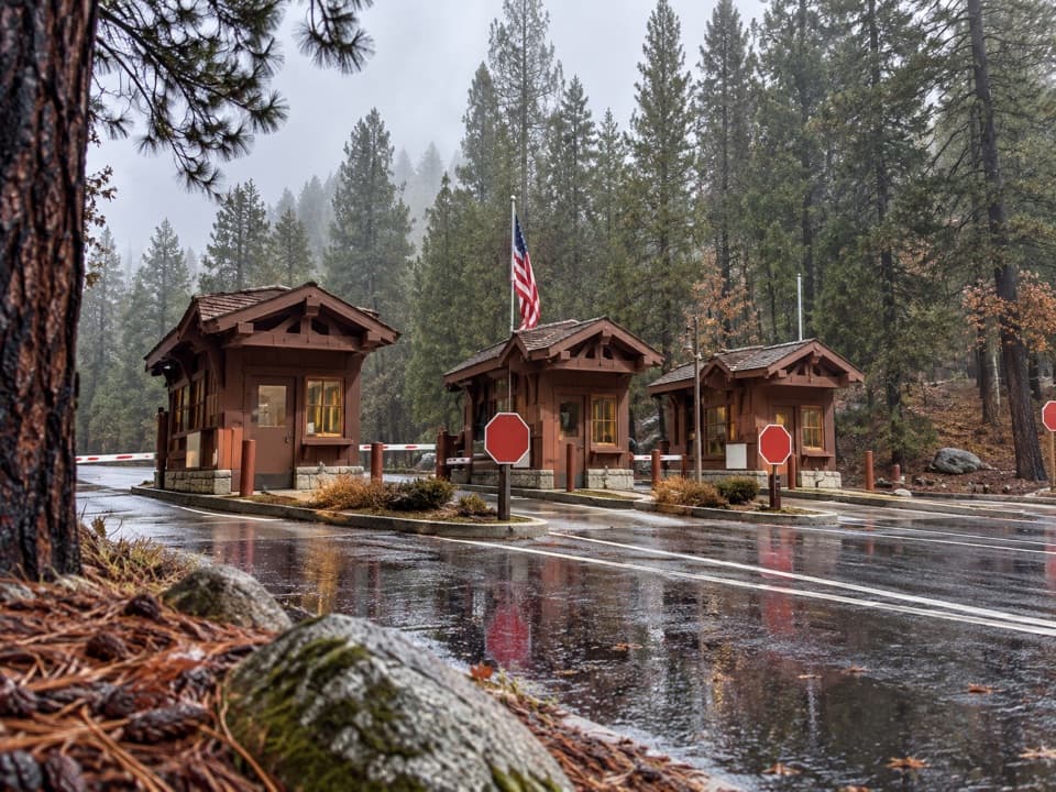 Entrance station · 8.2 mi awayBig Oak Flat EntranceThe park’s colorful sign is just beyond the Highway 120 fee booths.
 Visitor center · 8.3 mi awayBig Oak Flat Information StationGet wilderness permits, maps and useful advice before heading deeper.
 Sight · 9.4 mi awaySiesta LakeA quiet alpine lake with forest reflections.
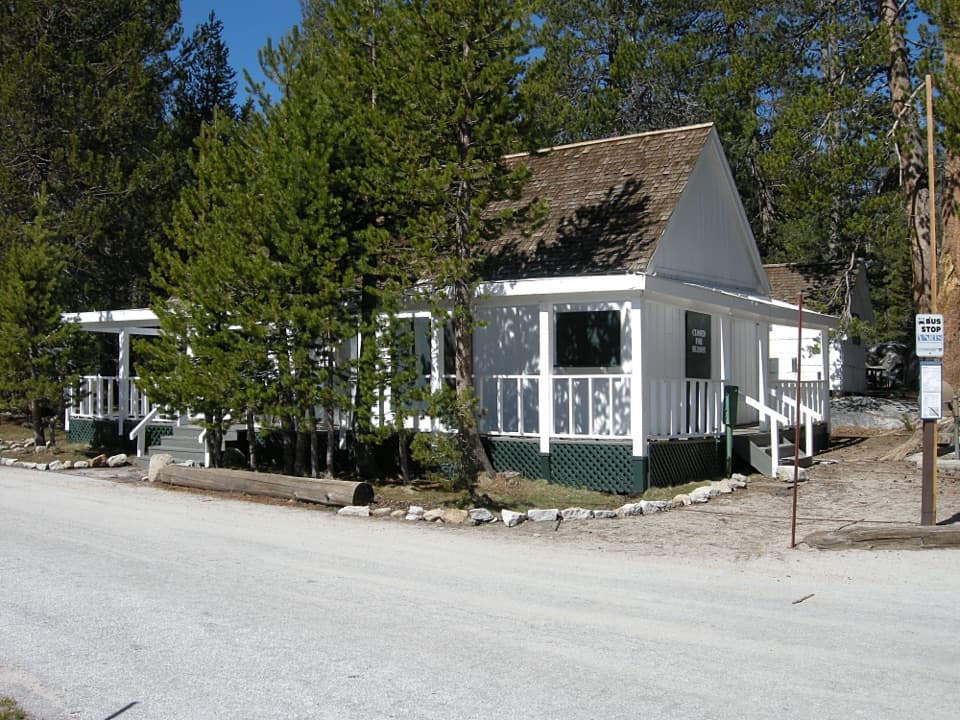 Lodging · 9.5 mi awayWhite Wolf LodgeA remote cabin base near two high-country lake hikes.
 Campground · 9.5 mi awayWhite Wolf CampgroundA quiet forest base near the Lukens and Harden Lakes trailheads.
Parkwolf’s Yosemite ranking

The audio tour guide for the drive, plus offline maps, trails, and wildlife heatmaps for when the signal drops.