
Place · 0.1 mi away
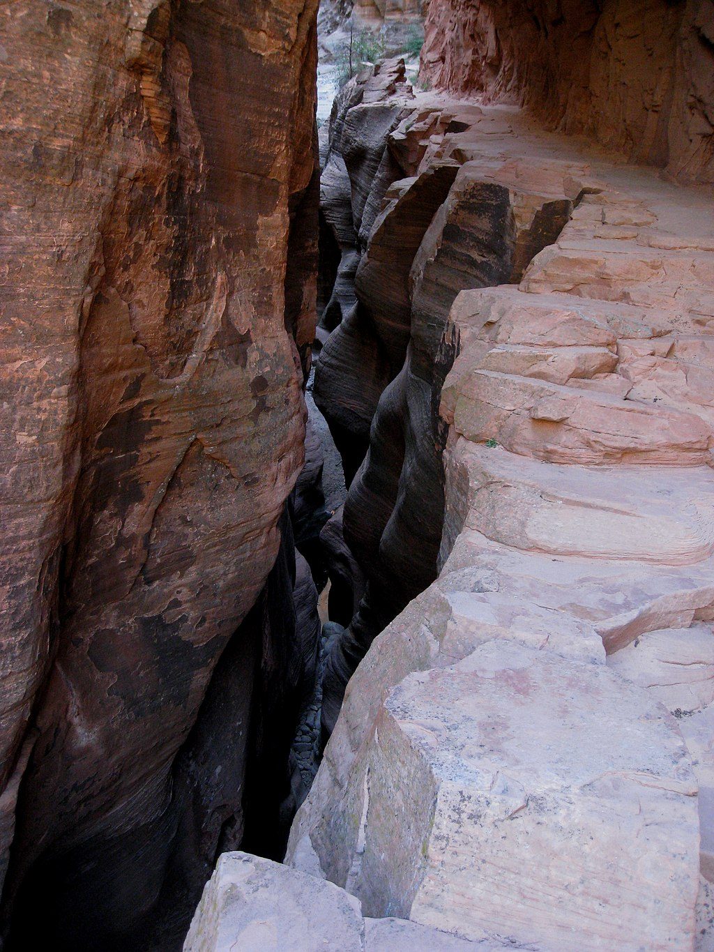
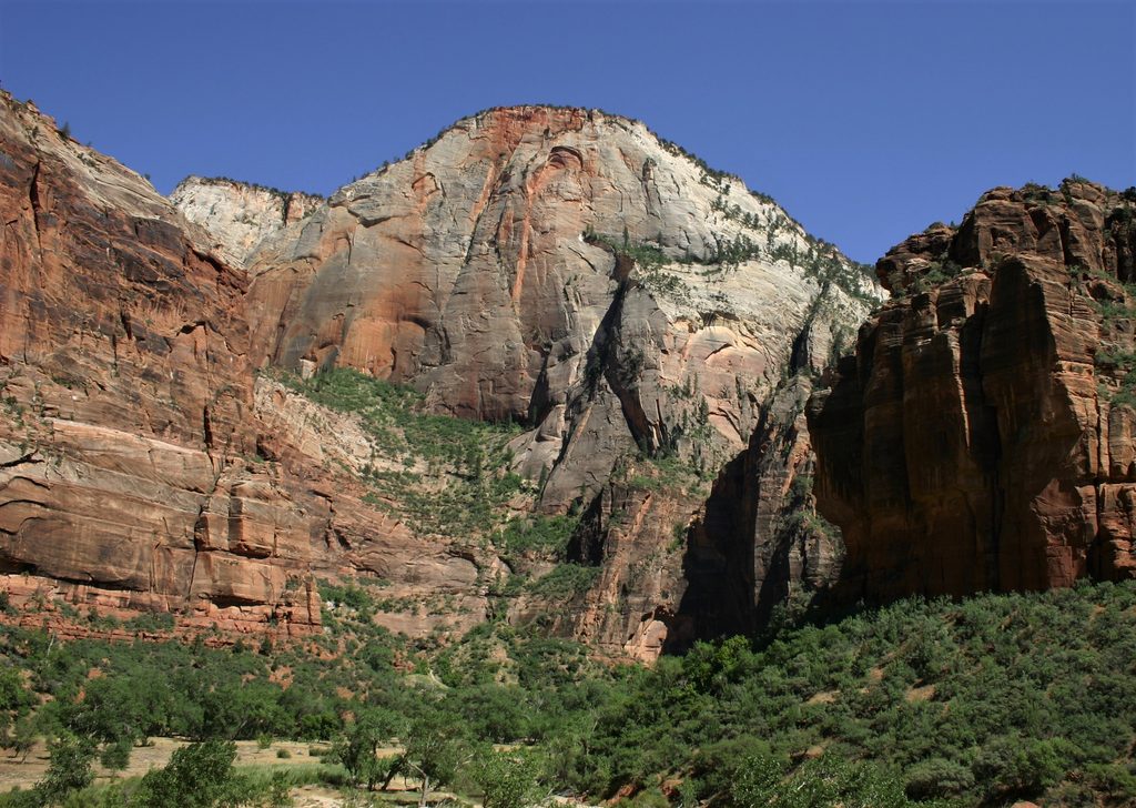
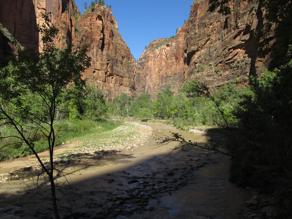
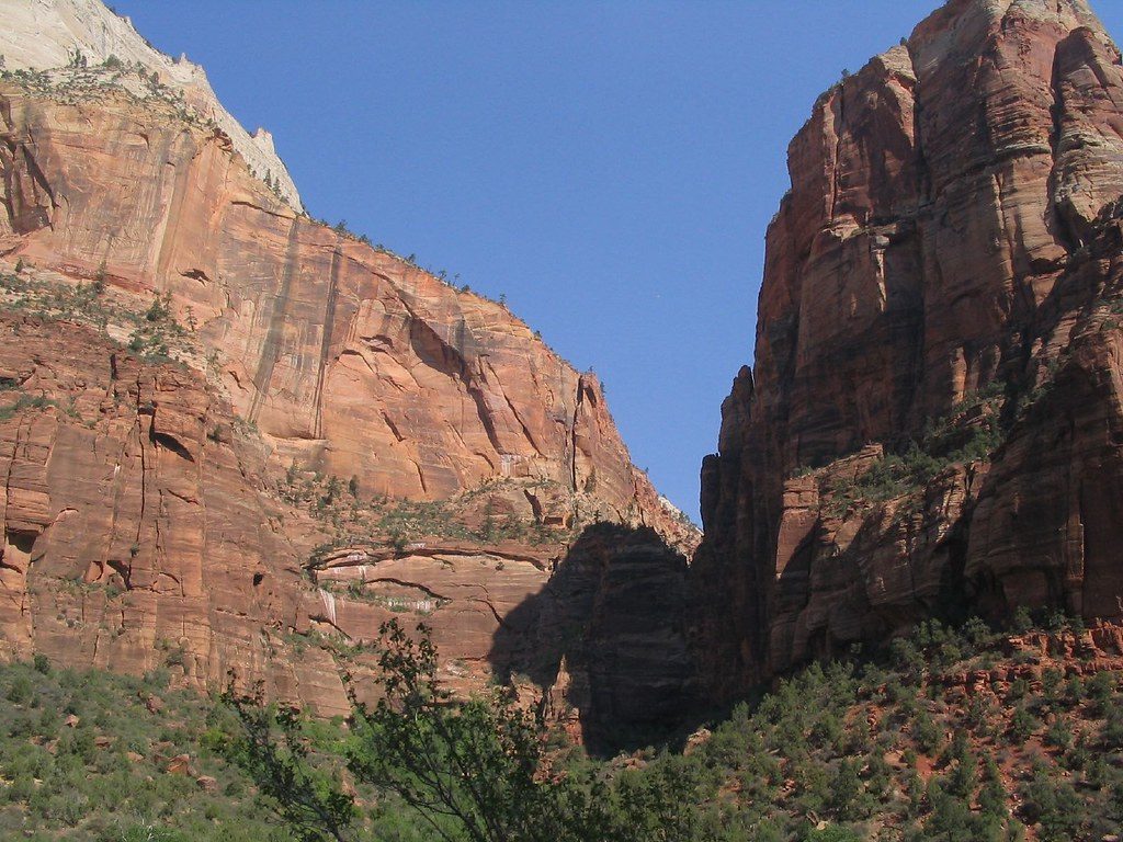
Echo Canyon is the sculpted slot-and-side canyon along the Observation Point/East Rim corridor. Think tall, cross-bedded Navajo Sandstone walls, cool shade, and a dramatic contrast to the wider main canyon. It’s often called the most magical stretch of the classic Observation Point day.
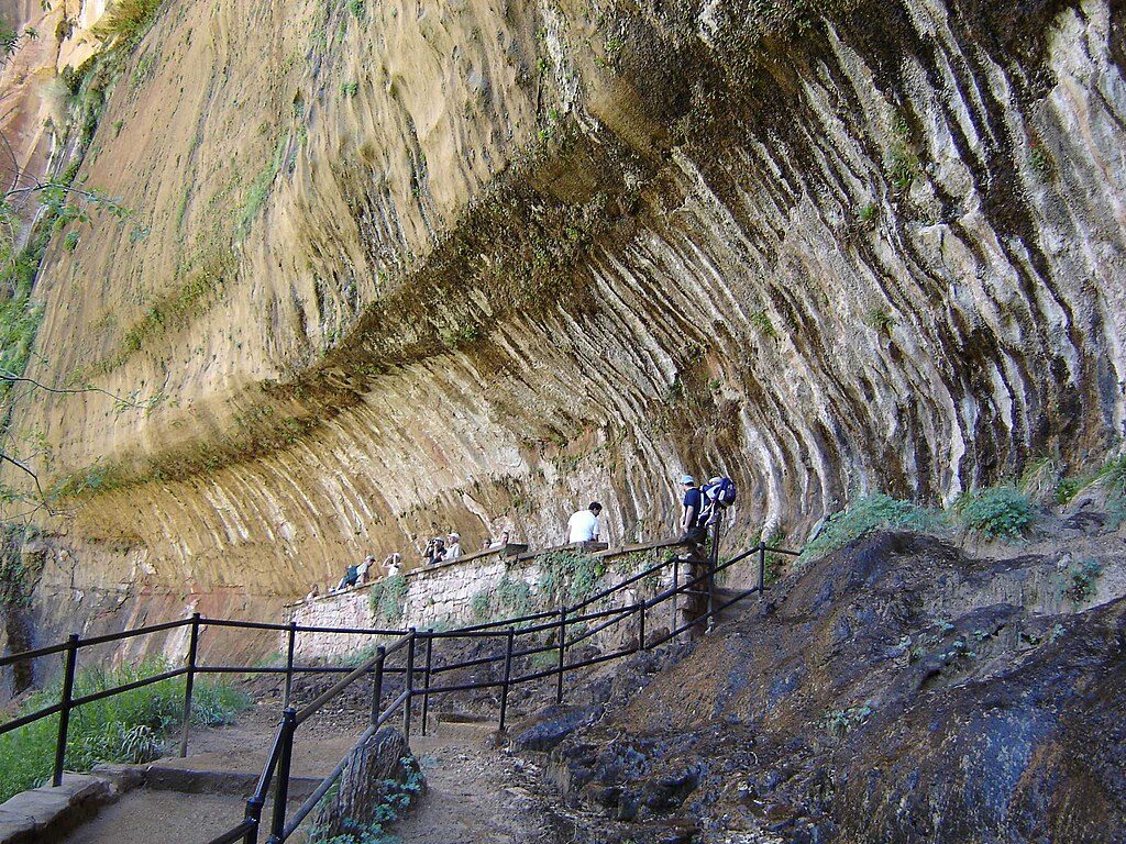
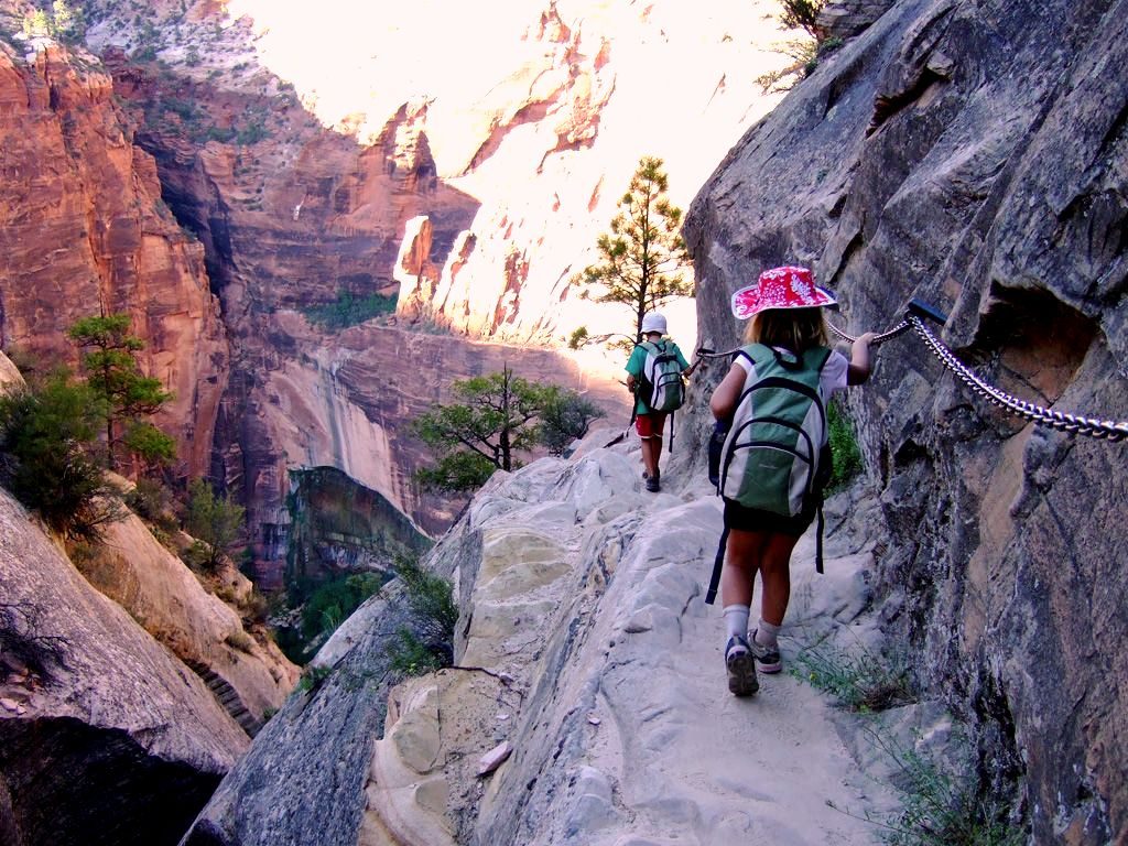
The traditional approach from Weeping Rock is closed due to a rockfall, and the “Observation Point via Weeping Rock” route remains off-limits. Legally, hikers now come from the east side (Stave Spring or East Mesa) to reach the upper part of Echo Canyon, then turn around at the posted closure near Weeping Rock. Expect cairn-following, uneven footing, and rock-hopping in the canyon. Always check the park’s current alerts before you go.
Inside Echo, you’ll walk through narrow, sinuous walls with beautiful fluting and cross-bedding—classic slot-canyon textures shaped by seasonal floods. Morning light tends to be soft and photogenic here, and the shaded narrows offer a cool break from the sun. Depending on conditions, the canyon floor can be sandy, damp, or hold cold pools that require careful stepping or wading.
Spring and fall deliver cooler temps and flattering light. Summer heat can be intense—start at first light and carry plenty of water. For photography, early morning brings the best glow in the narrows and fewer crowds.
Flash floods are the big hazard—check forecasts and never enter during storm risk, even if skies look clear. The narrows can be wet and slippery; trekking poles help on descents and the steep climb out. Respect all closure signs near Weeping Rock. Dogs and drones aren’t permitted. If you’re descending technical “Middle Echo,” a wilderness permit, cold-water protection (even in summer), and proper gear are required; expect a big hike back to the rim afterward.
East-side trailheads (Stave Spring/East Mesa) sit on dirt roads that can be rough or impassable after rain; high-clearance is often recommended. There are no restrooms, water, or food at these trailheads—arrive self-sufficient and use designated parking only. Pools in the canyon are not reliable or suitable for drinking.
You may pass through several life zones in a short distance. Watch for birds of prey riding cliff updrafts, lizards warming on sunny slabs, and mule deer in shaded draws. Enjoy them at a distance and never feed wildlife.
Place · 0.1 mi away
Place · 0.1 mi away
Place · 0.3 mi away
Place · 0.3 mi away
Easy · 1.1 mi away
Challenging · 1.1 mi away
Challenging · 1.1 mi away
Challenging · 1.1 mi away

Parkwolf Tour Guide
