
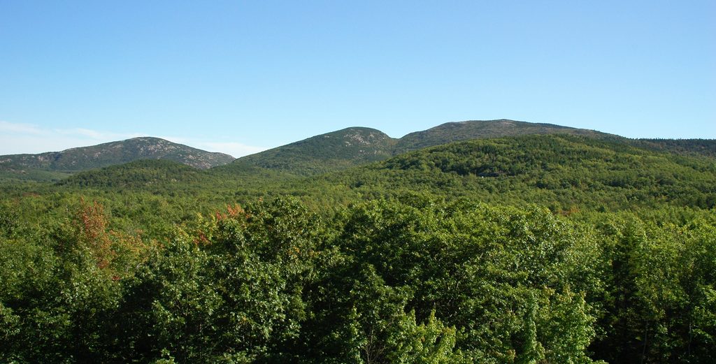
Place · 0.5 mi away
Easy
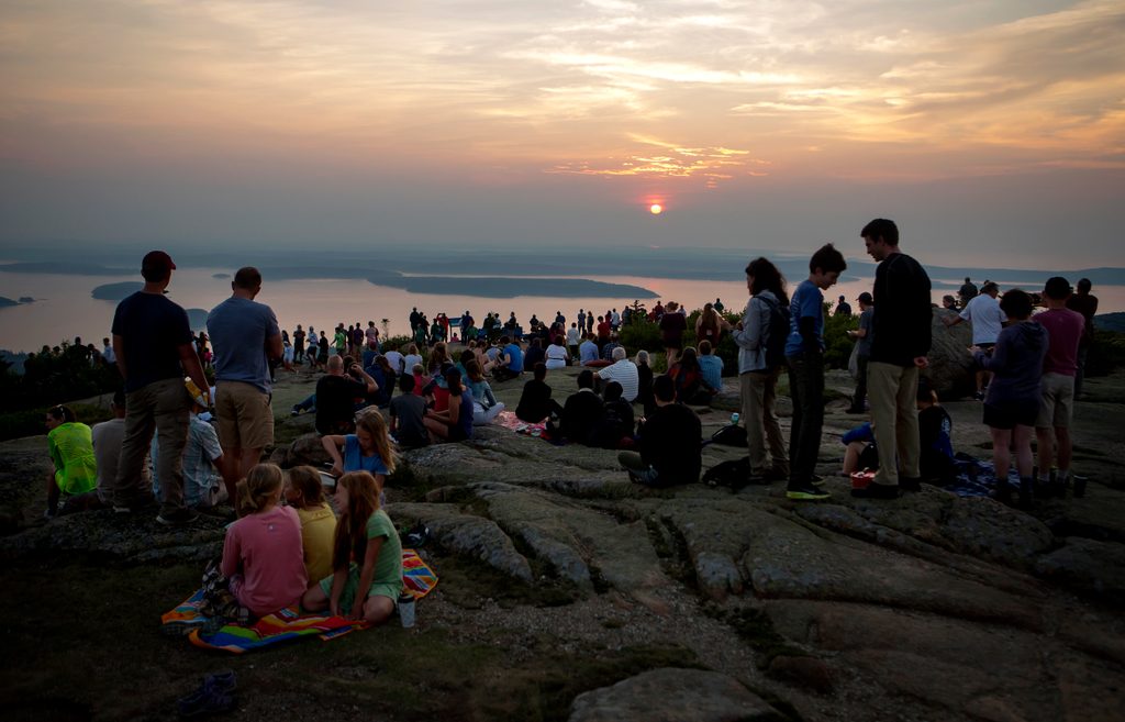
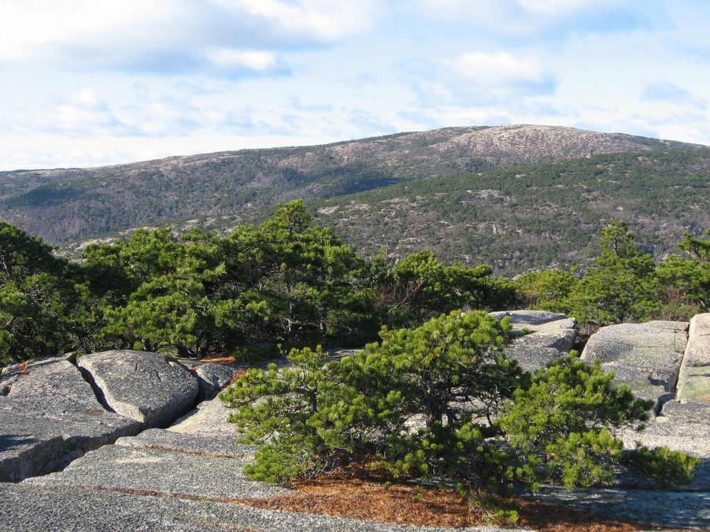
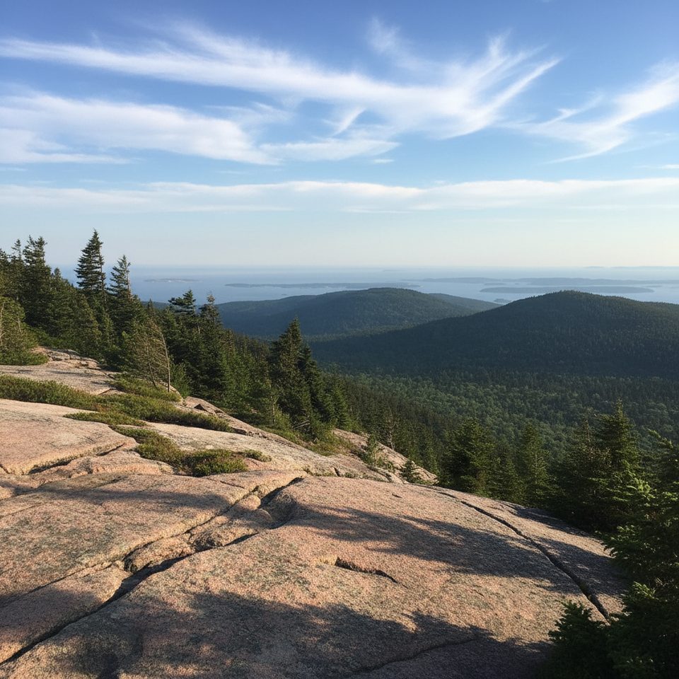
This is the easiest way to score Cadillac Mountain’s famous 360-degree views without breaking a sweat. The 0.5-mile TOTAL loop circles the summit on mostly paved and some gravel path, with minimal elevation change. It starts right from the summit parking area and threads past open granite, low wind-gnarled pines, and several interpretive signs that unpack the mountain’s geology and ecology.
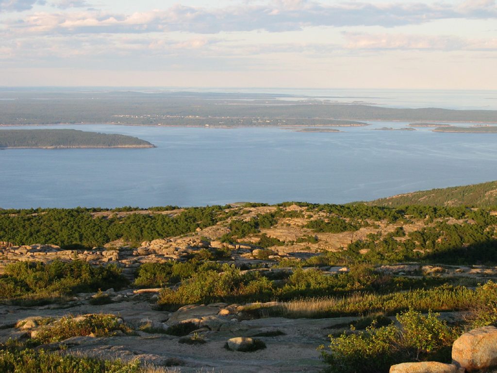
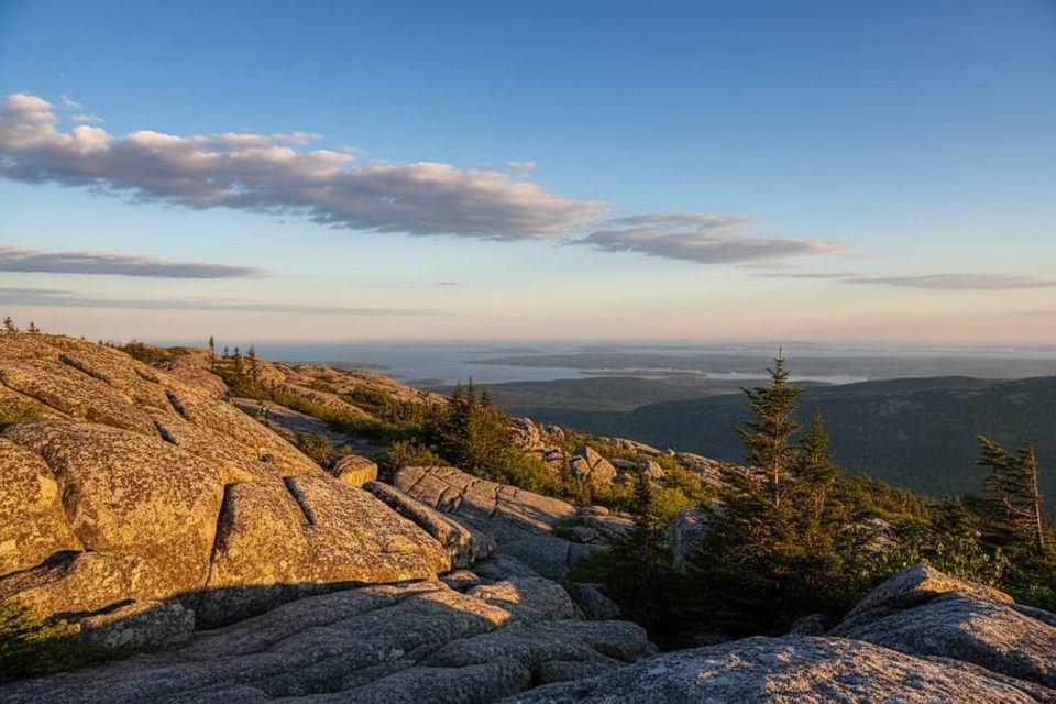
Expect sweeping looks over Frenchman Bay, Bar Harbor, and a scatter of Atlantic islands. Cadillac is the highest point on the U.S. eastern seaboard (1,529 feet), and you feel every bit of that exposure—bring a layer even in summer. Portions of the loop are wheelchair accessible, making this one of the park’s best big-view options for visitors with limited mobility.
Crowds are the tradeoff. This summit is busy most days, especially 9 a.m.–4 p.m., and also at sunrise and sunset—the latter are spectacular here, and at certain times of year this is among the first places in the U.S. to see the sun rise. If the lot is full, don’t wait it out; pick another nearby trail instead. Restrooms, a small gift shop, and numerous waysides make it an easy, informative stop.
Best time to hike: Late spring through early fall brings the most comfortable weather and clearest views. Aim for early morning after sunrise or late afternoon into sunset for softer light and thinner crowds. Winter visits are possible, but the summit road typically closes to vehicles—only go if you’re prepared for snow/ice and strong wind.
Practicalities: During much of the visitor season, a timed vehicle reservation is required to drive Cadillac Summit Road (in addition to a park pass). Stay on the marked path to protect fragile summit vegetation. Dogs are allowed on-leash. If you want to earn the summit on foot, the summit area connects with other trails, but this loop itself is all about the views, not the workout.
Park at the summit lots at the end of Cadillac Summit Road; timed vehicle reservation required in season and the lot often fills. In winter the road usually closes to vehicles.
Fully exposed summit—wind and fast-changing weather are common. Rock can be slick when wet or icy. Stay on the marked path to protect fragile vegetation. Timed vehicle reservation required in season to drive up.
Place · 0.5 mi away
Place · 0.6 mi away
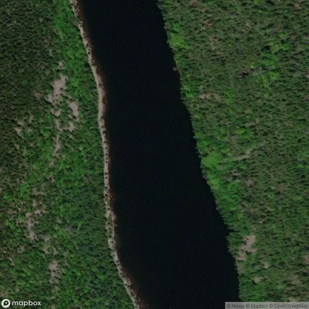
Place · 0.9 mi away
Place · 1 mi away
Challenging · 0.8 mi away
Challenging · 0.8 mi away
Challenging · 0.8 mi away
Challenging · 0.8 mi away

Parkwolf Tour Guide
