Pros & cons
PROS
- Boat launch and parking right on Cedar Lake
- Brent Historic Site exhibit and short walking options nearby
- Friendly, helpful staff at the access point office
CONS
- Long 40 km drive on gravel Brent Road
- No on‑site outfitter; reserve permits and gear in advance
Overview
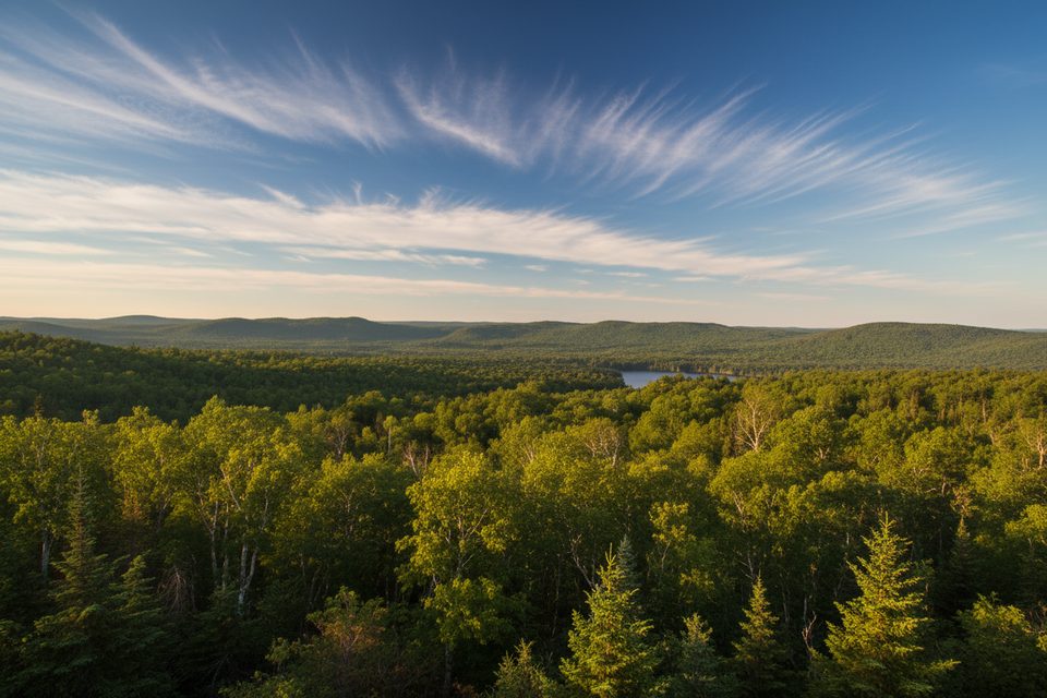
This is the quiet, north‑side gateway to Cedar Lake and Algonquin’s interior. You’ll find a small access hub with parking, toilets, a boat launch, and the Brent Historic Site exhibit. It’s low‑key, practical, and less visited than the park’s highway corridors—perfect if you value a calmer start to a canoe trip.
Getting There
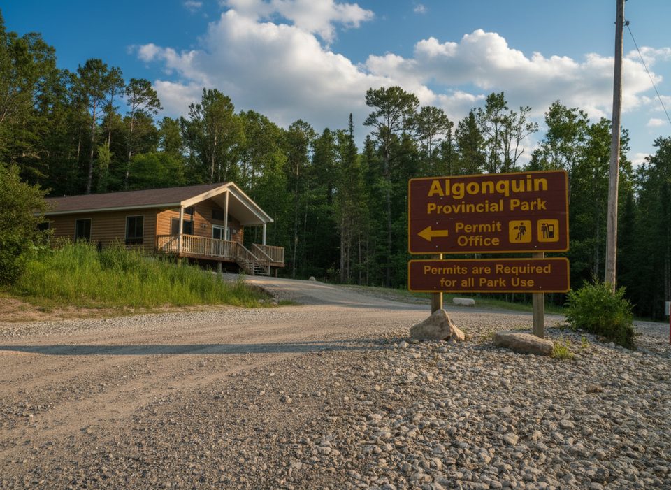
From Highway 17 just west of Deux Rivières, turn south onto Brent Road (gravel). The Access Point Office sits 0.5 km down this road; from there it’s roughly 40 km on Brent Road to reach Cedar Lake and the Brent Campground/access area. Expect a slow, scenic drive and give yourself extra time.
What’s Here
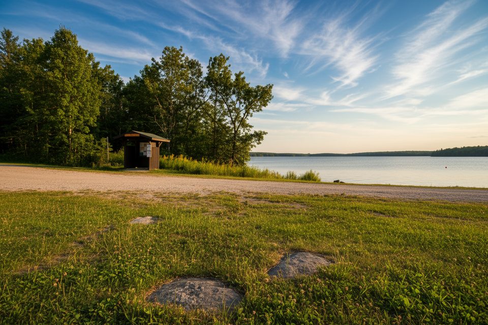
- Parking and a straightforward boat launch ramp on Cedar Lake.
- Toilets and the Brent Historic Site exhibit right at the access.
- A small, quiet adjacent campground (~30 sites), noted for seclusion; it has flush toilets and a beach but no shower or laundry facilities.
Season and Permits
For 2025, the Brent access operates April 25–October 26. Backcountry camping permits are reserved in advance online or by phone (not issued in person at the office). There’s no on‑site outfitter, so line up canoes/gear ahead of time.
Nearby Walks and Sights
Stroll the Brent Historic Walking Trail and check out the exhibit for a sense of the area’s past. If you’re stretching your legs before or after a trip, you can also head to the Brent Crater Trail for a short hike and big geology.
Why Start Here
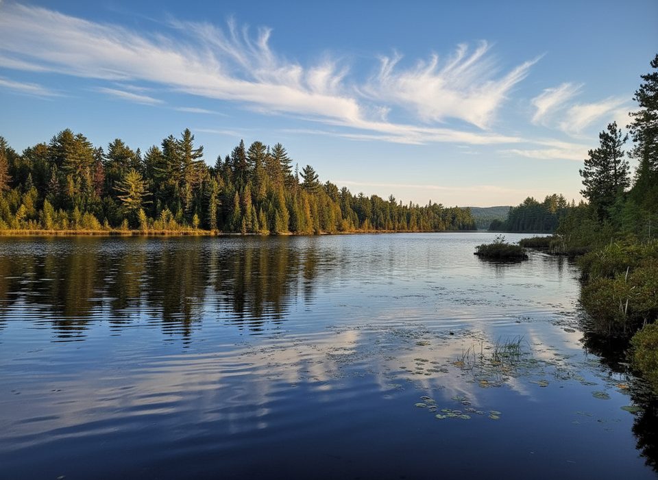
Cedar Lake is a launch pad to classic interior routes, but without the bustle. Regulars praise the friendly staff and the easy, no‑drama check‑in experience.
Best Time to Visit
Weekday mornings are the calmest at the office and launch. Saturdays around midday see the most activity, so arrive early if you want a breezy parking and launch experience.
Good to Know
- The access point office is near the start of Brent Road—stop there first—then continue the long gravel stretch to the lake.
- Some nearby side roads (e.g., Wendigo Lake, North River Lake) branch off Brent Road if you’re exploring alternative put‑ins.
- Check park advisories for water levels and special notices before committing to a route.
Where it is
46.2432, -78.3100Tips for Brent Access Point
- 01Stop at the Access Point Office 0.5 km down Brent Road before driving the remaining 40 km to the lake.
- 02Reserve your backcountry permit online in advance; the office doesn’t issue them in person.
- 03Arrange canoe and gear rentals ahead of time—there’s no outfitter on site.
- 04Plan for a slow drive on gravel; give yourself extra time for the 40 km stretch.
Amenities
Near Brent Access Point
All places →All trails →
14.1 mi awayBrent Crater ViewpointElevated lookout over a 3.8 km ancient meteorite craterParking · Scenic Viewpoint
16 mi awayDevils ChutePowerful Petawawa rapid, reached only by canoe
16.6 mi awayBrent CampgroundRemote lakeside camping with dark skies and backcountry accessCampground · Restroom
16.7 mi awayBrentRemote Cedar Lake basecamp for canoes, cabins, and dark skiesCampground · Restroom
40.5 mi awayBarron Canyon TrailShort loop to jaw-dropping views over a 100 m deep canyon.Easy · 0.9 mi · 48 min
45 mi awayBeaver Pond TrailShort loop through classic beaver ponds with big dam views.Moderate · 1.2 mi · 48 min
45.4 mi awaySpruce Bog BoardwalkEasy loop across two classic bogs with carnivorous plants.Easy · 0.9 mi · 30 min
46 mi awayBig Pines TrailOld-growth white pines and logging history on a mellow forest loop.Easy · 1.8 mi · 1.3 hr