
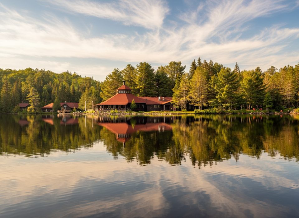
Place · 5.9 mi away
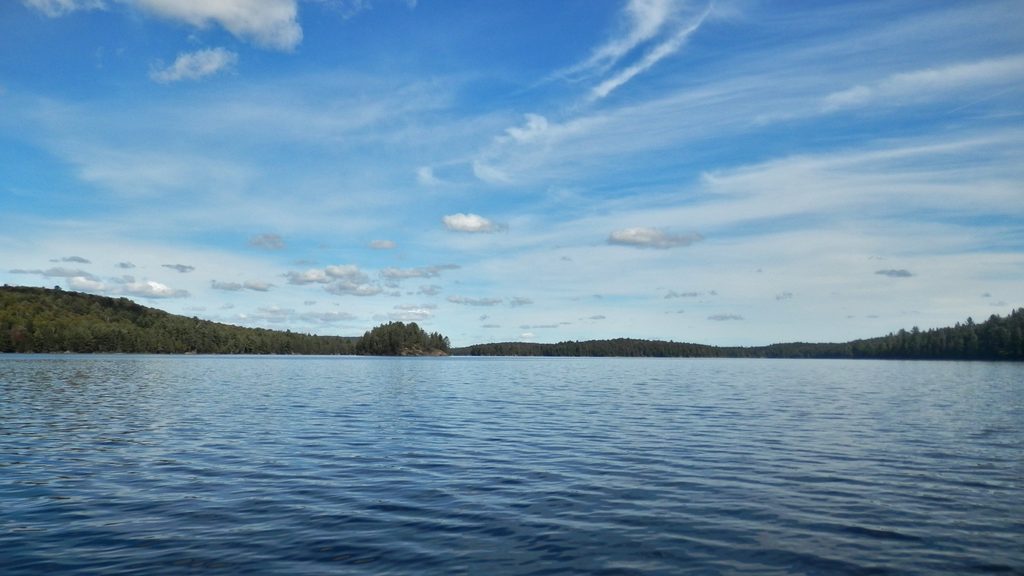
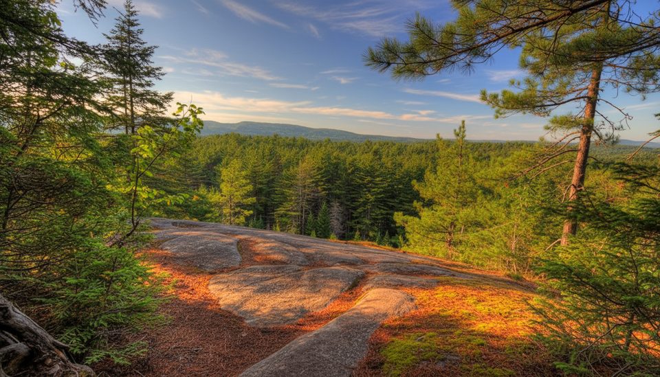
A big, beautiful backcountry lake with clear water, granite shorelines, and a mix of island and mainland campsites. It sits on a busy canoe corridor, so it feels lively in peak season but still wild once you’re settled on a site. Expect great swimming off sloped rock, wide views, and classic Algonquin vibes—loons calling at dusk and stars overhead.
Paddle-in from Canoe Lake (Access Point 5). It’s roughly 13 km to reach Burnt Island—about 3–4 hours for experienced single-carry travelers in fair weather, while many groups should budget 5–7 hours with wind, traffic, and breaks. Park and check in for an interior permit at the access point before launching.
These are designated backcountry sites—simple and effective. Expect a fire ring and a thunderbox at each site; treat all lake water. There are no food lockers, so bring a proper bear‑hang kit or use a canister (some sites have limited good hanging trees). Island sites can be breezier (fewer bugs) and often come with multiple canoe landings and big views. A few standout spots on the main lake are spacious with good swimming and rock kitchens.
Wind is the main wildcard. When it funnels from the north or south, the lake can stack up waves—plan crossings accordingly and hug shoreline if conditions build. Nearshore, watch for flat rock shoals just below the surface; water shoes help. Popular weekends can see the lake mostly full, so have a plan B. Campsite numbers aren’t posted lakeside—carry a map or GPS that shows them.
Loons are regulars here, and moose are sometimes seen near nearby lakes. Chipmunks are bold at some sites. Do tick checks around privies and pack out everything. If you’re fishing, dispose of remains properly in deep water, far from camp, to keep sites clean and critters uninterested.
If Burnt Island is full, Little Otterslide is close and often a good fallback. Birdie Lake is a short hop with rock shoals to mind. Iris is better for a look than a sleep (reports of muddy, beaver‑scented water), and Alder has no designated campsites.
Mid‑week sees lighter traffic than Fridays and Saturdays. Your best chance at snagging a vacated site is late morning to early afternoon as parties move (roughly 11 a.m.–2 p.m.). For photography and calm water, aim for early morning or golden hour; sunsets from shoreline rock are a highlight.
Place · 5.9 mi away
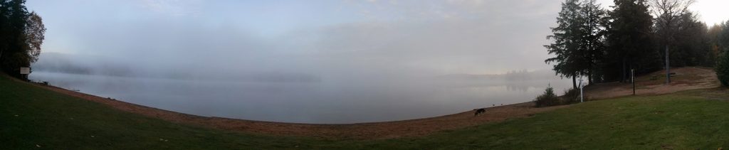
Place · 6.1 mi away
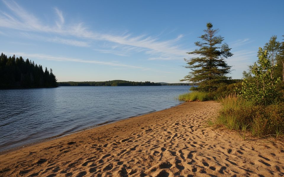
Place · 6.2 mi away
Place · 6.8 mi away
Challenging · 7.2 mi away
Moderate · 7.3 mi away
Moderate · 7.3 mi away
Moderate · 7.4 mi away

Parkwolf Tour Guide
