Parking
Use the dedicated Track and Tower Trail parking area on Highway 60 at km 25. A valid Algonquin Provincial Park permit is required.

#4 of 39 trails in Algonquin
Algonquin Provincial Park, ON
Rocky climbs and stairs lead to a broad Cache Lake lookout
Overview
Map & elevation
Plan your hike

The highest, rockiest slopes around here are a summer buffet for grizzly bears.
Algonquin Tour Guide
Parkwolf is a GPS audio tour guide for Algonquin Provincial Park. As you drive, it chimes in with what’s ahead: hidden gems, upcoming stops, history, geology, and wildlife, right through your car’s speakers.
See the Algonquin audio tourRecorded for this trailhead
Track and Tower above Cache Lake“Track and Tower's trailhead is coming up, for a demanding half-day hike above Cache Lake.”
Plays as you drive up to this trailhead in the Parkwolf Algonquin Tour Guide.
More stories near here in the app
“Fantastic app with many points of information… It’s great to just turn on while you’re driving and it gives you an audio tour of the national Park. We love it!!!!”


Trail guide
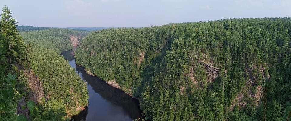
Track and Tower is a 7.5 km (4.7 mi) loop from the Highway 60 km 25 trailhead, with a four-hour allowance. It follows a wooded path and Cache Lake’s shore to a rocky high point above the lake, then circles back past traces of Algonquin’s railway era. The climb and long stairs make this a substantial half-day walk rather than a quick lookout stroll. Ontario Parks publishes 7.5 km; the numbered distances on its map total about 7.7 km, so keep the full time buffer.
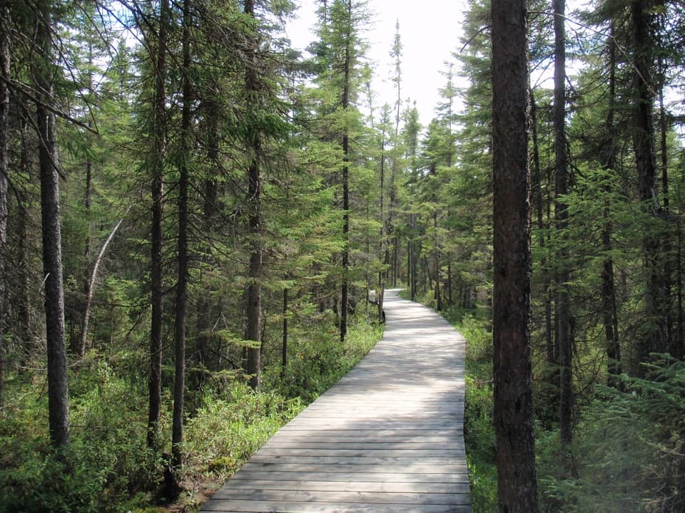
Expect narrow single-track with roots and rocks underfoot. The route gains and loses ground several times, and a sustained climb leads into the long stairway to the lookout. That makes the walk feel tougher than its official moderate rating, especially if stairs or uneven footing are a problem. Wet weather can leave muddy sections; snow or ice may linger on the stairs in shoulder seasons. The lookout is open rock rather than a railed platform, so take care near the edge.
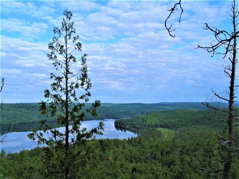
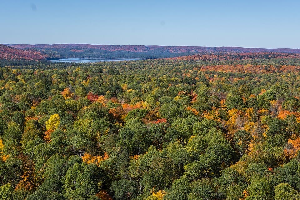
The first stretch moves through forest before reaching the Cache Lake shoreline and a short bridge. The climb becomes more serious around the middle of the route. At the junction near the viewpoint, follow the full marked route to the lookout instead of taking the shorter bypass; the lookout is the main reason to do this loop. The rocky outcrop opens over Cache Lake and its forested islands. It is a natural place to pause, and the lake-and-rock foreground makes a stronger photo than a tight shot of the water alone.
The lookout occupies the site of a former fire tower, though no tower stands there now. Along the return, the route passes old bridge-trestle remains and briefly joins the flat Old Railway Bike Trail before turning back toward the parking area. Those traces give the hike a second thread beyond the view: the railway once ran through this stretch of the park.
An optional 5.5 km side trip follows the abandoned railway toward Mew Lake. It is extra distance beyond the 7.5 km loop, not part of the route described here. Keep it separate when planning time; the main loop already deserves the full four hours.
The dedicated parking area is at Highway 60 km 25. A valid Algonquin Provincial Park permit is required. Dogs are allowed on this trail but must remain controlled on a leash no longer than 2 metres. No drinking-water source is identified along the route, so plan to carry enough for a four-hour walk.
Wildlife
 1,237 sightingsMooseMost seen around 6 AMSighting map
 245 sightingsEastern WolfMost seen around 7 PMSighting map
 331 sightingsBlack BearMost seen around 7 PMSighting map
 604 sightingsLoonMost seen around 6 PMSighting map
 110 sightingsBald EagleMost seen around 11 AMSighting map
 192 sightingsRiver OtterMost seen around 6 PMSighting map
Sighting maps show where each species has been reported across Algonquin. Wildlife moves, so no sighting is guaranteed.
Keep exploring
 ModerateHemlock Bluff Trail3.5 km · 2 hr · 2 km awayA hemlock stand and Jack Lake view in one forest loop.
 ChallengingHighland Backpacking Trail42 km · 18 hr · 4.3 km awayA demanding overnight loop of rocky climbs, lake camps and a lookout.
 ChallengingHighland Backpacking Trail – Provoking Lake Loop21.6 km · 9 hr · 4.3 km awayA 13-mile backcountry circuit to Provoking Lake and its shore camps.
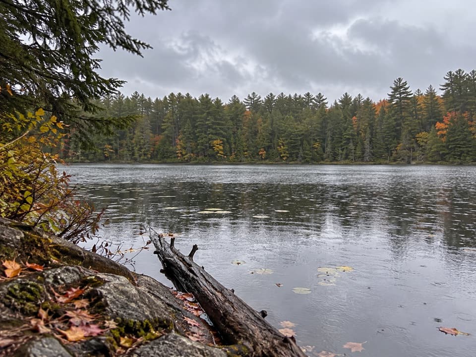 ModerateBat Lake Trail5.8 km · 3 hr · 4.7 km awayA hemlock forest loop past a lookout and acidic lake
 ModerateTwo Rivers Trail2.3 km · 1 hr · 5.5 km awayA short loop to an open rock lookout above the pines.
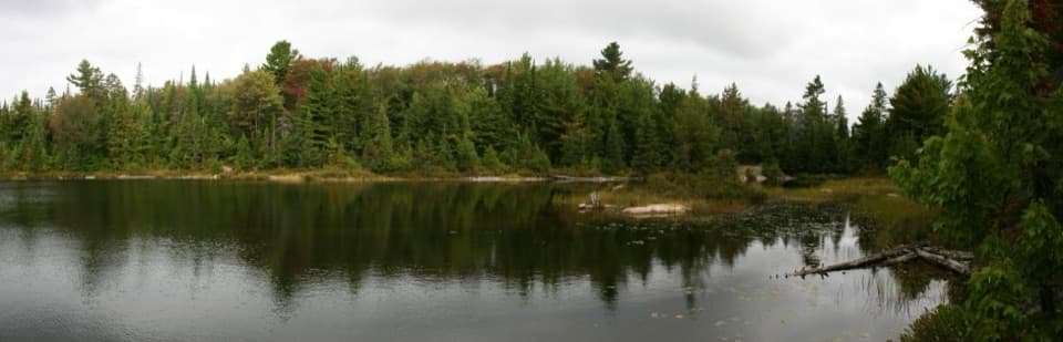 ModeratePeck Lake Trail2.3 km · 1.5 hr · 5.8 km awayShort lake circuit with marsh boardwalks, roots, and two stair sections.
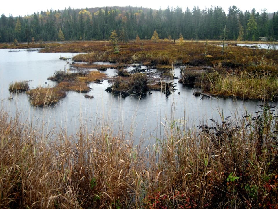 ModerateMizzy Lake Trail10.8 km · 6 hr · 9.4 km awayNine ponds, a long loop, and wildlife worth looking for.
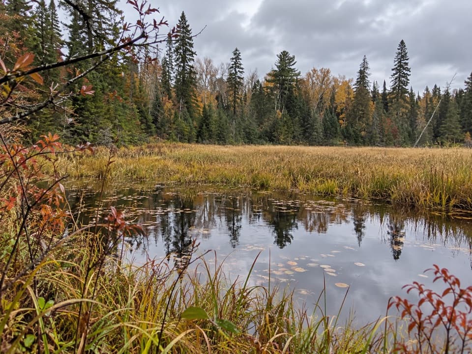 ModerateRed Trail (Arowhon Pines)11.3 km · 3 hr · 9.8 km awayA long Arowhon loop to Wolf Howl Pond and old rail
 Campground · 1.2 km awayCanisbay Lake CampgroundA wooded campground with a 30-minute paddle to interior sites
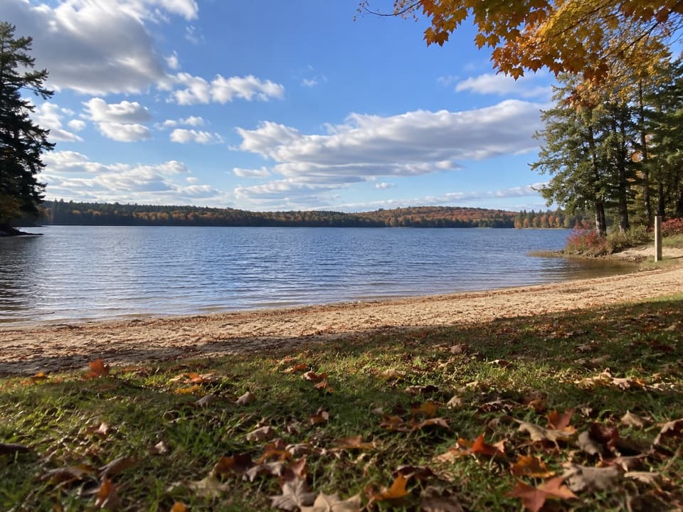 Beach · 1.3 km awayCanisbay Lake Day Use AreaAn easy Highway 60 stop for a sandy swim and lakeside picnic.
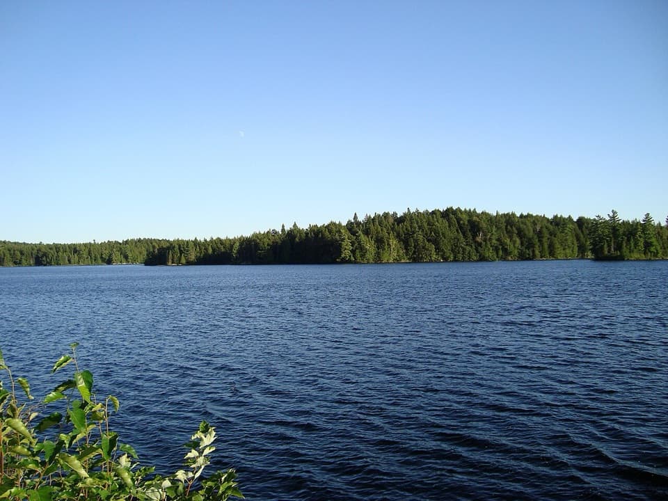 Sight · 1.6 km awayCache Lake Access Point #8 and Historic Site ExhibitA canoe put-in beside the story of a railway-era resort.
 Lodging · 2.1 km awayBartlett LodgeA four-course dinner starts with a boat ride across Cache Lake.Sight · 2.1 km awayTrack and Tower LookoutA long loop rewards hikers with Cache Lake and old rail traces
 Sight · 4.3 km awaySource Lake Access Point (#7)A gravel-road put-in for backcountry paddles on Source Lake.
 Sight · 5 km awayAlgonquin Art CentreWildlife art fills a hollow stone gallery beside Found Lake.
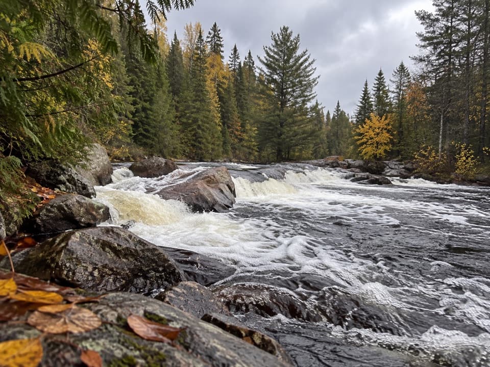 Sight · 5.1 km awayProvoking FallsA low, broad cascade for a quiet pause beside the Madawaska.
Parkwolf’s Algonquin ranking

The audio tour guide for the drive, plus offline maps, trails, and wildlife heatmaps for when the signal drops.