Parking
Use the Bat Lake Trail parking area on Highway 60 near km 30. A valid Algonquin Park permit is required for trail use.
Algonquin Provincial Park, ON
A hemlock forest loop past a lookout and acidic lake
Overview
Map & elevation
Plan your hike

The highest, rockiest slopes around here are a summer buffet for grizzly bears.
Algonquin Tour Guide
Parkwolf is a GPS audio tour guide for Algonquin Provincial Park. As you drive, it chimes in with what’s ahead: hidden gems, upcoming stops, history, geology, and wildlife, right through your car’s speakers.
See the Algonquin audio tourRecorded for this trailhead
Bat Lake Trail“Bat Lake Trail is ahead, a good choice if you want a varied forest walk rather than one big panorama.”
Plays as you drive up to this trailhead in the Parkwolf Algonquin Tour Guide.
More stories near here in the app
“Fantastic app with many points of information… It’s great to just turn on while you’re driving and it gives you an audio tour of the national Park. We love it!!!!”


Trail guide
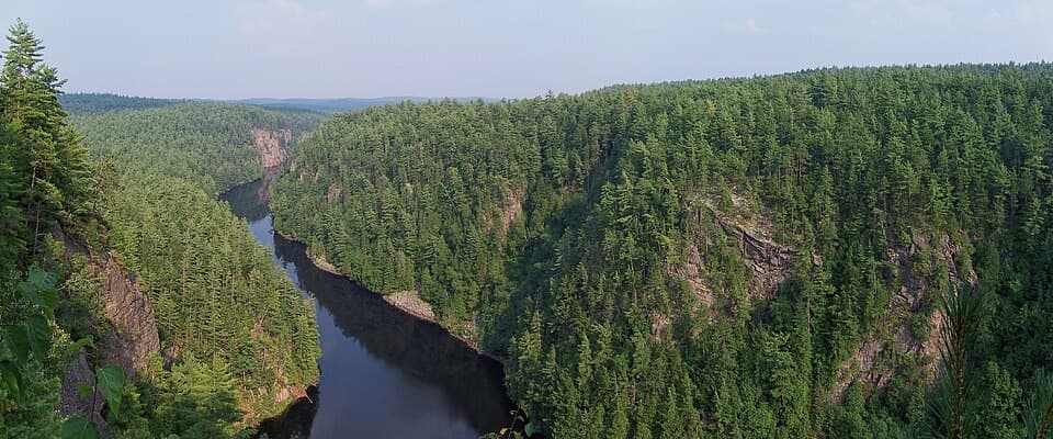
Bat Lake Trail is a moderate 5.8 km loop from Highway 60 at km 30, linking an eastern hemlock stand, a lookout and acidic Bat Lake. Choose it for a substantial forest walk with a few different natural features, rather than for one dramatic viewpoint.
Plan around three hours. Published estimates range from about 2½ to 3½ hours; use the long end if you want to pause at the lake or the ground is wet. The natural tread is uneven, with several climbs and descents. Mud and slick footing recur after rain, so shoes with good grip are useful.
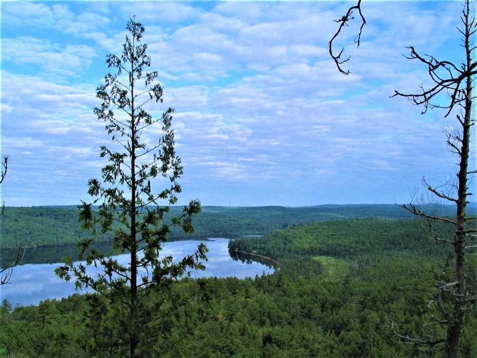
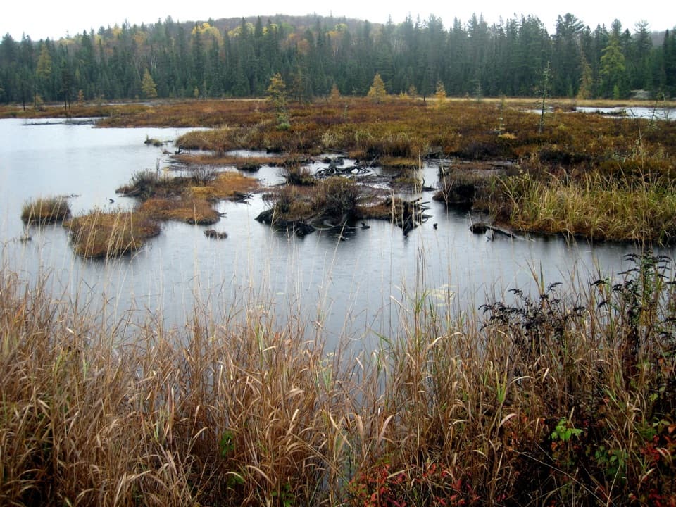
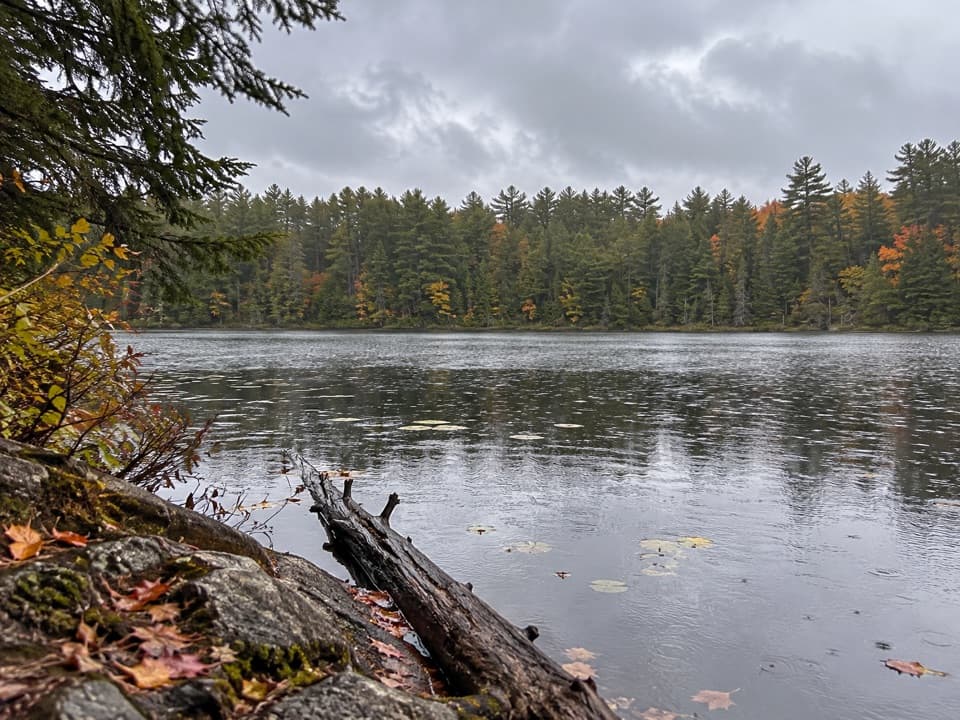
The stand of eastern hemlock and the unusually acidic lake are the trail's distinctive ecology stops. The route also reaches a lookout, but keep expectations modest: visitors disagree about the view, and trees can screen part of it. At the lake, frame the wooded opposite shore with some water so the scene reads as a small forest lake rather than an open panorama.
Begin at the Bat Lake Trail parking area on Highway 60 near km 30. A valid Algonquin Park permit is required. Dogs are allowed on this trail but must stay under control and on a leash no longer than two metres.
Wildlife
 1,237 sightingsMooseMost seen around 6 AMSighting map
 245 sightingsEastern WolfMost seen around 7 PMSighting map
 331 sightingsBlack BearMost seen around 7 PMSighting map
 604 sightingsLoonMost seen around 6 PMSighting map
 110 sightingsBald EagleMost seen around 11 AMSighting map
 192 sightingsRiver OtterMost seen around 6 PMSighting map
Sighting maps show where each species has been reported across Algonquin. Wildlife moves, so no sighting is guaranteed.
Keep exploring
 ChallengingHighland Backpacking Trail42 km · 18 hr · 0.5 km awayA demanding overnight loop of rocky climbs, lake camps and a lookout.
 ChallengingHighland Backpacking Trail – Provoking Lake Loop21.6 km · 9 hr · 0.5 km awayA 13-mile backcountry circuit to Provoking Lake and its shore camps.
 ModerateTwo Rivers Trail2.3 km · 1 hr · 0.8 km awayA short loop to an open rock lookout above the pines.
 ModerateHemlock Bluff Trail3.5 km · 2 hr · 2.7 km awayA hemlock stand and Jack Lake view in one forest loop.
 ModerateTrack and Tower Trail7.5 km · 4 hr · 4.7 km awayRocky climbs and stairs lead to a broad Cache Lake lookout
 ChallengingCentennial Ridges Trail10.4 km · 4.5 hr · 8.3 km awayA very demanding 10.4 km loop over two rocky ridges.
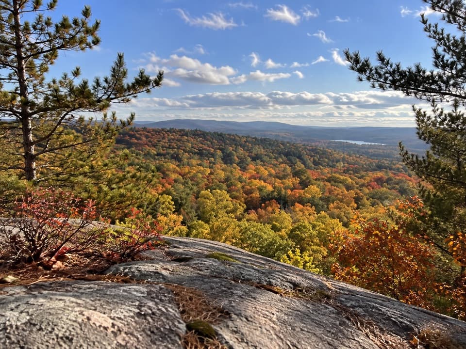 ModerateSouth Lookout Trail2.6 km · 1 hr · 9 km awayAn informal path reaches a rocky perch above distant lakes.
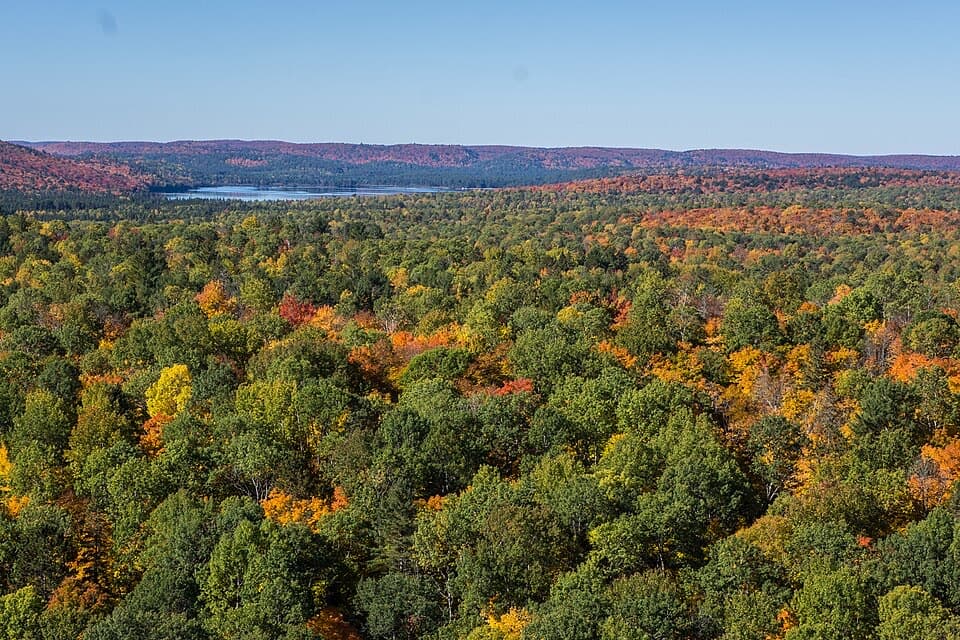 ModerateLookout Trail2.1 km · 1 hr · 9 km awayA short climb opens onto a panoramic rocky ridge.
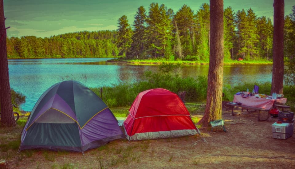 Campground · 0.7 km awayMew Lake CampgroundA year-round base with 131 sites, cabins and yurts.
 Store · 1.3 km awayLake of Two Rivers Store and CafeA handy stop for groceries, ice cream, and rail-trail bike rentals.
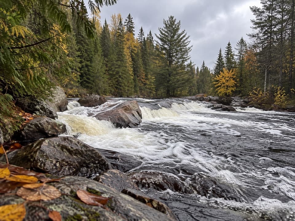 Sight · 1.3 km awayProvoking FallsA low, broad cascade for a quiet pause beside the Madawaska.
 Campground · 1.5 km awayLake of Two Rivers CampgroundA 241-site base with a beach on the Highway 60 corridor.
 Lodging · 2.8 km awayKillarney LodgeYour waterfront cabin comes with a canoe and all meals.
 Picnic area · 3.5 km awayLake of Two Rivers Picnic Ground and BeachA beachside lunch stop with a view across the lake.
 Beach · 4.8 km awayEast Beach Picnic Ground and BeachA quick swim and picnic with a narrow sandy shore.Sight · 5.4 km awayTrack and Tower LookoutA long loop rewards hikers with Cache Lake and old rail traces
Parkwolf’s Algonquin ranking

The audio tour guide for the drive, plus offline maps, trails, and wildlife heatmaps for when the signal drops.