
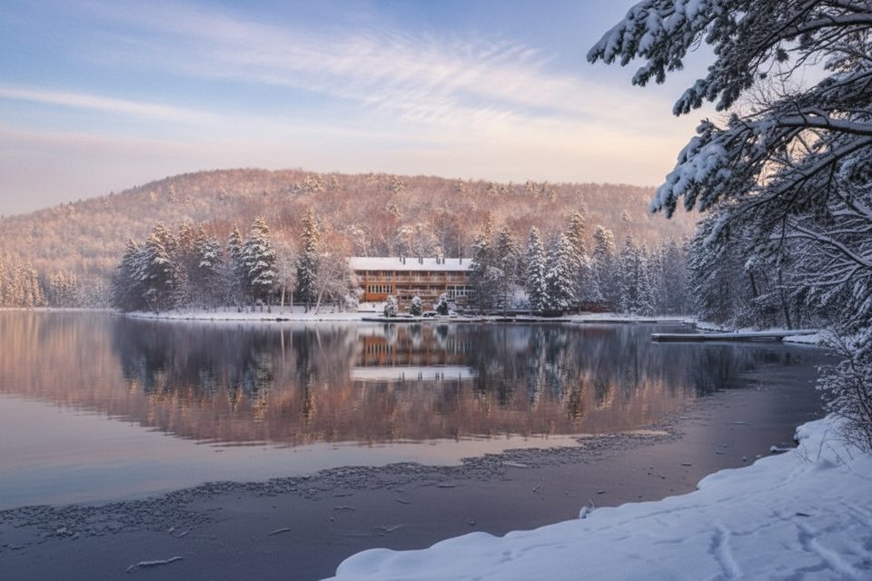
Place · 7.9 mi away
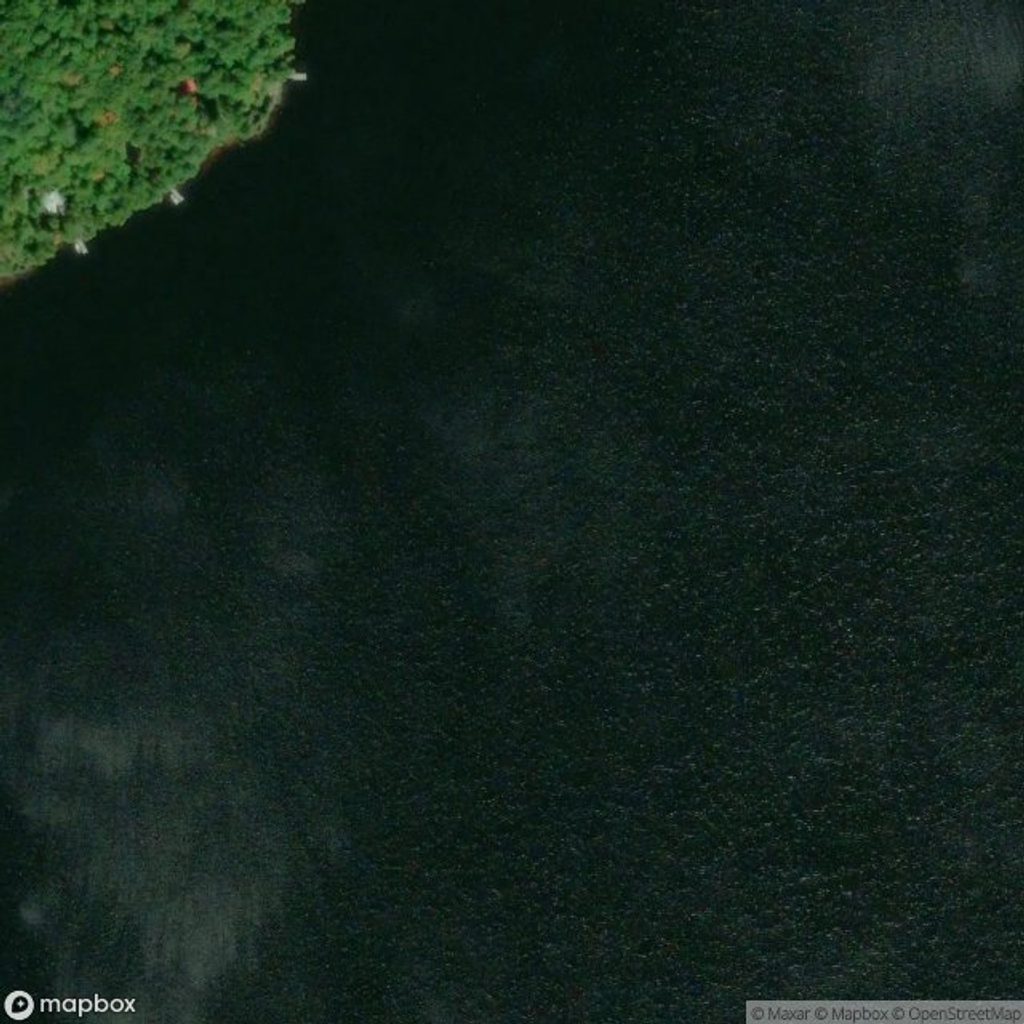
This is a simple, no-frills put‑in for backcountry canoe trips. The launch sits outside the park on the east shore of Hay Lake, so you’ll paddle roughly 4 km before you even reach Algonquin’s boundary—useful to know when planning time and energy for day one.
From Highway 127 (9.9 km south of Highway 60), follow McRae–Hay Lake Road west for 4.6 km, keeping left at forks, to the public boat launch. Coordinates noted in official info: 45.383236, -78.164693. The road is gravel and conditions can vary.
What’s here: parking and a public boat‑launch ramp. What’s not: washrooms, running water, rentals, or an access‑point office. Backcountry permits must be reserved in advance online or by phone (available up to five months out). General information support is provided from the East Gate.
Expect an initial 4 km paddle across Hay Lake before you enter Algonquin’s backcountry. Plan routes and timing with that approach distance in mind.
There are no posted hours; think in terms of daylight and your starting distance. Because the access road is gravel and conditions can change, checking current advisories before you go is smart.
If you’re a self‑sufficient canoe tripper who doesn’t need services at the launch, this is a straightforward gateway. If you prefer amenities at the access point, consider other entries that list washrooms or staffed offices.
Place · 7.9 mi away
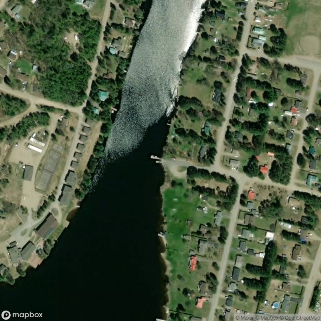
Place · 7.9 mi away
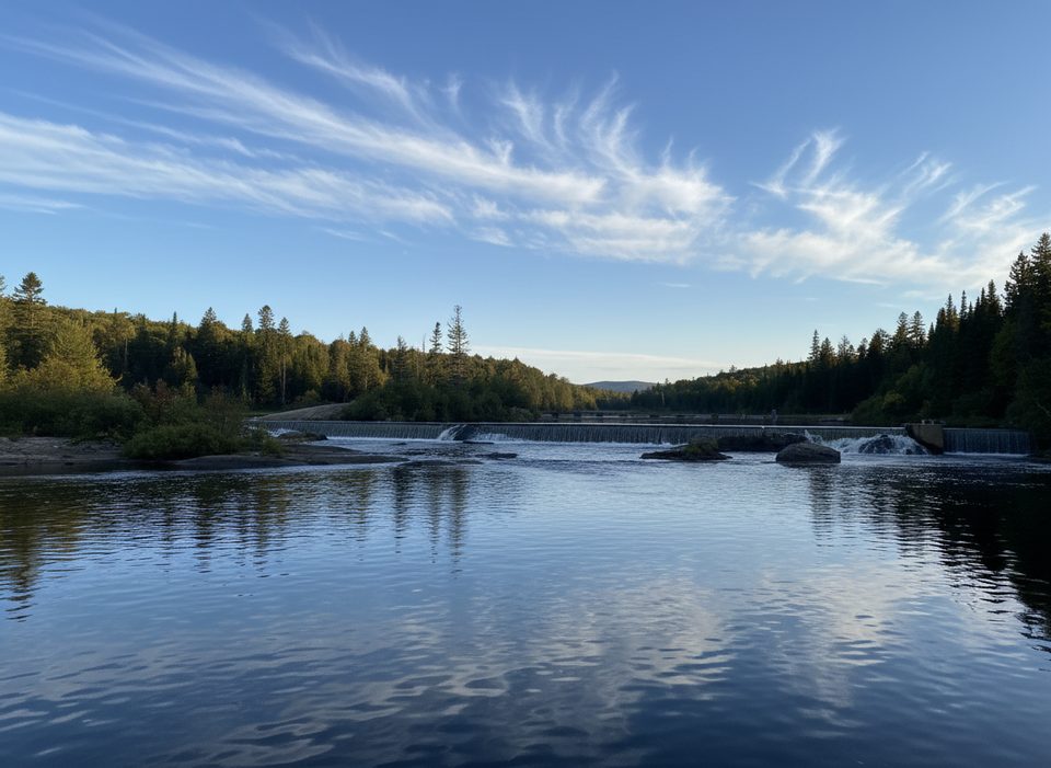
Place · 11.2 mi away
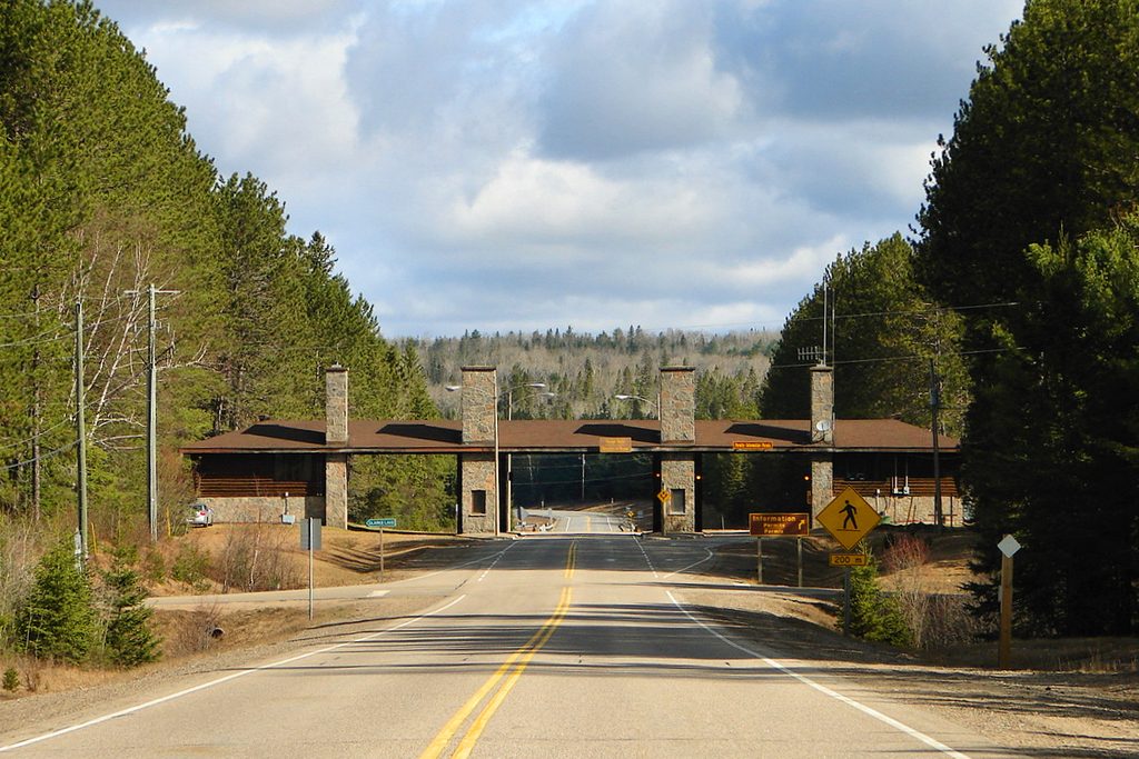
Place · 11.4 mi away
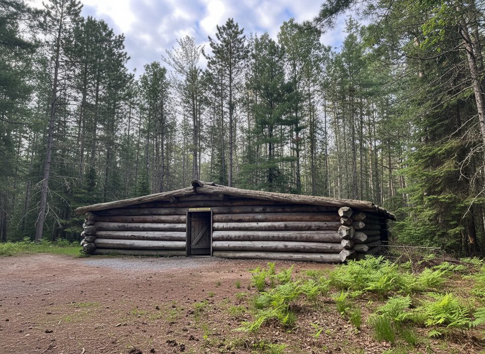
Easy · 11.8 mi away
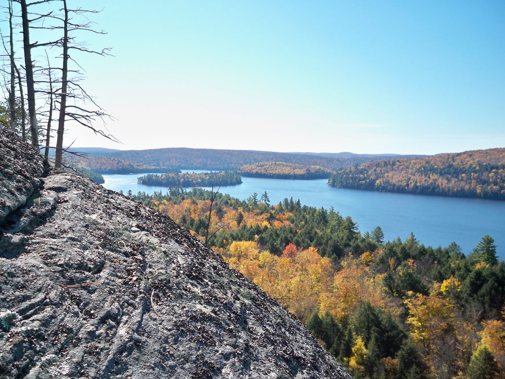
Moderate · 13.9 mi away
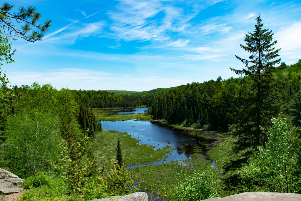
Moderate · 16.3 mi away
Challenging · 16.5 mi away

Parkwolf Tour Guide
