Pros & cons
PROS
- Short loop to a cliff‑top viewpoint
- Interpretive guide adds context on forest change
- Convenient parking directly off Highway 60 at km 31
CONS
- Rooty, rocky footing can be slick after rain
- No toilets at the trailhead
- Mosquitoes can be intense in late spring and early summer
Overview
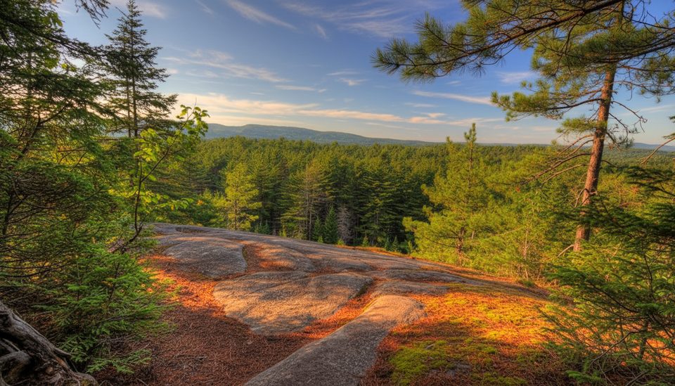
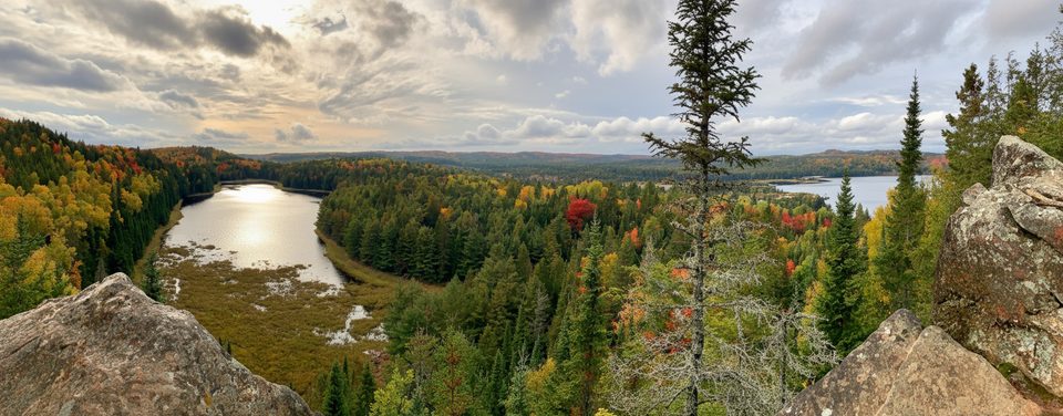
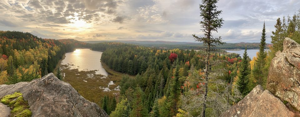
Two Rivers Trail Lookout is the payoff on a 2.3 km forest loop: a pine‑topped cliff with broad views over rolling highlands. It’s a bite‑size Algonquin experience—enough climb to feel earned, but still doable for most hikers in about 1 to 1.5 hours.
What You’ll See
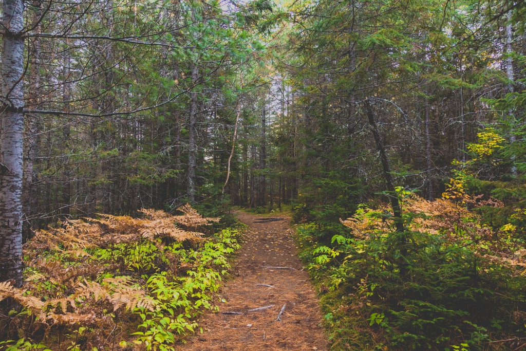
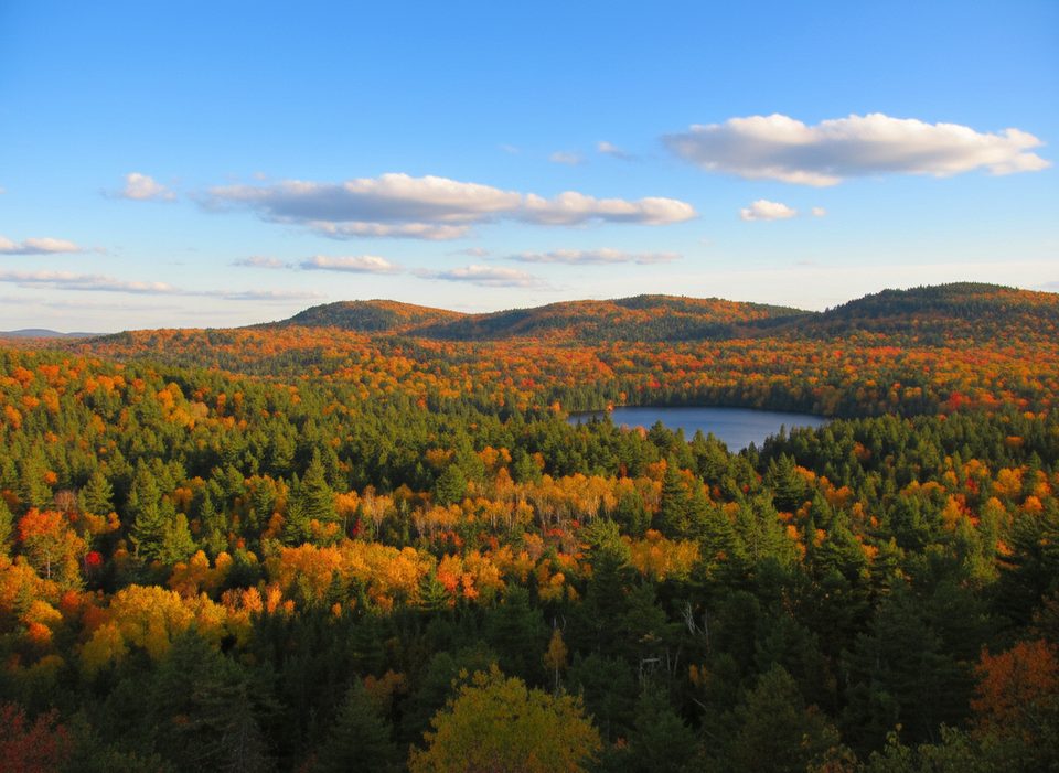
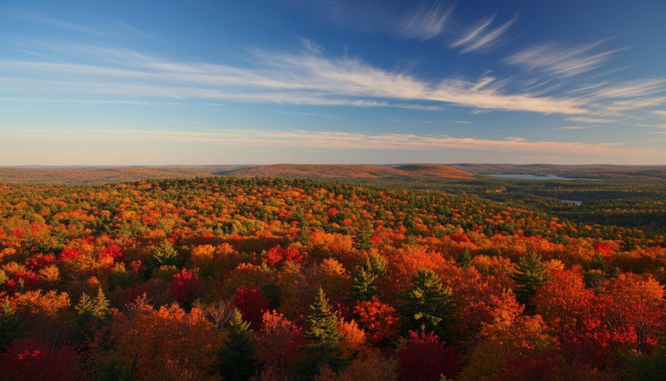
Most of the loop travels under mixed forest before popping out onto an open rock ledge. From the edge, you’ll scan a sea of treetops with glimpses toward the North Madawaska River. It’s classic Algonquin: ridges, conifers, and big sky without the crowds of the park’s marquee summits.
Trail Basics
- Distance/Time: 2.3 km loop; plan 45–90 minutes depending on photo stops.
- Difficulty: Moderate, with a steady climb and uneven footing (roots, rocks).
- Surface: Natural tread that can turn slick after rain.
- Safety: The cliff edge is unfenced—keep kids and dogs close and stay on the marked path.
Make the Most of It
Follow the signed loop clockwise for a more gradual ascent and steeper descent at the end. Grab the trail’s interpretive guide at the kiosk—it's a quick, engaging read on Algonquin’s ever‑changing forests (think insects like spruce budworm and how the woods recover).
Best Time to Visit
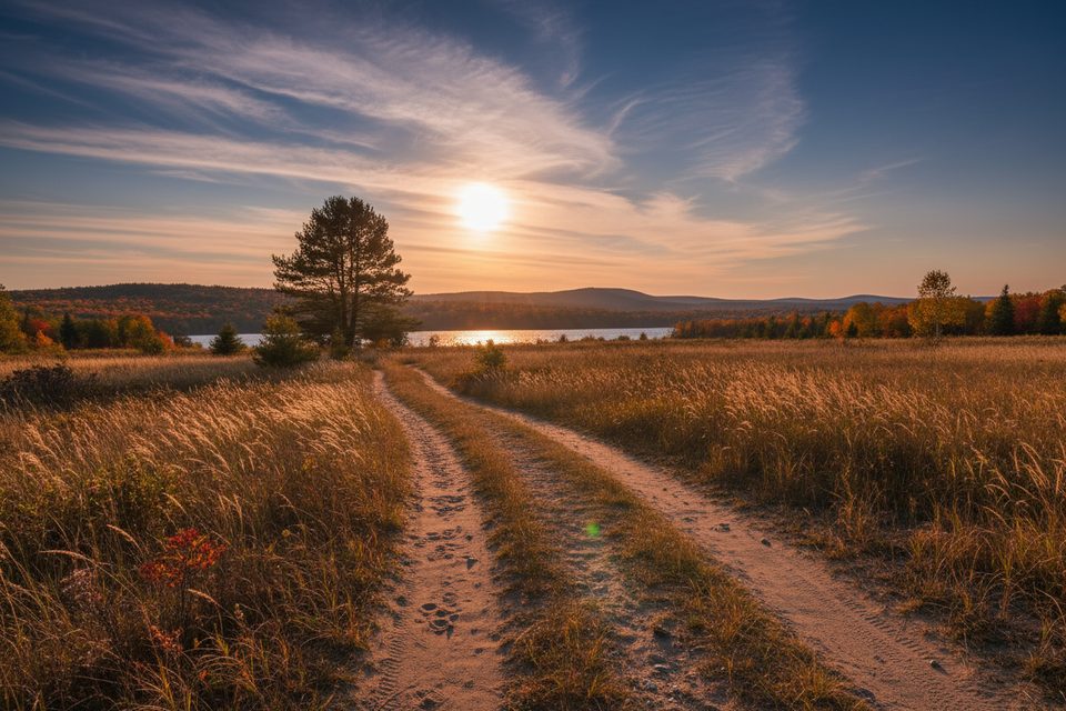
Early or late in the day brings softer light on the lookout and fewer people. Fall color typically peaks from late September into early October, turning the valley into a textured quilt of reds and golds. Weekends and midday are busier; weekdays and late afternoons are quieter.
Wildlife
Expect chipmunks, red squirrels, and songbirds along the path. Larger mammals are possible anywhere in the park at dawn or dusk, but this loop is more about the forest canopy than wildlife hot spots.
Practicalities
Parking is directly off Highway 60 at km 31. A valid day‑use permit is required (Ontario Parks allows advance day‑use reservations). There are no washrooms at the trailhead; plan a pit stop elsewhere along the corridor. Dogs are permitted on leash.
Where it is
45.5796, -78.5126Tips for Two Rivers Trail Lookout
- 01Hike clockwise from the signed start for a more gradual climb.
- 02Sort your day‑use permit in advance—reservations open five days out.
- 03Bring bug spray in May–June; mosquitoes can be relentless.
- 04Start early or after 3 pm for easier parking and softer light.
- 05Wear sturdy shoes—roots and wet rock can be slick.
Amenities
Near Two Rivers Trail Lookout
All places →All trails →
0 mi awayTwo Rivers TrailShort forest loop to a cliffy lookout with big Algonquin viewsModerate · 1.4 mi · 1 hr
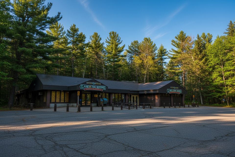
0.3 mi awayLake of Two Rivers StoreAll-in-one camp store for groceries, meals, and bike rentalsFood · Restaurant
0.3 mi awayMew Lake CampgroundYear-round campground with power, quiet loop, and lakeside beachCampground · Restroom
0.3 mi awayMew Lake Airfield (Old Airfield)Open meadow for easy wildlife watching beside Mew Lake
0.5 mi awayBat Lake TrailHemlocks, boardwalks, and a quiet tea-colored lake loop.Moderate · 3.6 mi · 2.3 hr
0.5 mi awayLake of Two Rivers CampgroundBusy beachside campground with a store, café, and easy trail accessCampground · Restroom
0.8 mi awayHighland Backpacking TrailClassic multi-day forest-and-lake loop with punchy climbs and lookoutsChallenging · 21.7 mi · 14 hr
0.8 mi awayHighland Backpacking Trail – Provoking Lake LoopLakeside camps, lookouts, and constant ups/downs—worth the work.Challenging · 15.3 mi · 9 hr