
Place · 2.3 mi away
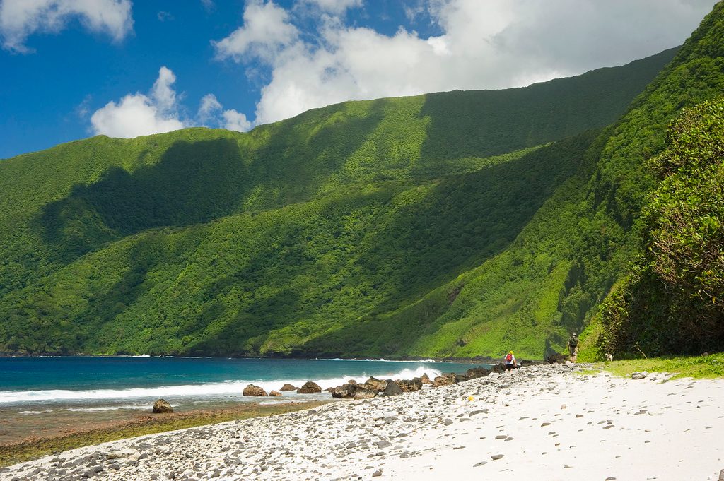
Lata Mountain is the highest point in American Samoa, rising from the rainforest on Taʻū Island inside the national park. It’s a true wild peak—remote, quiet, and all about big ocean panoramas and thick tropical jungle.
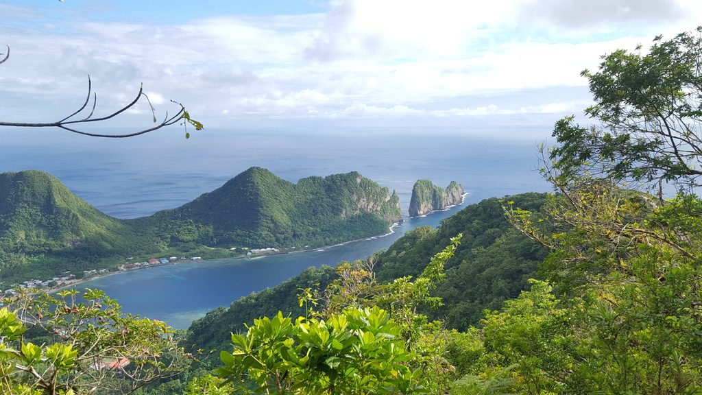
Expect dense rainforest, mossy old lava flows, and towering palms as you climb. From the summit, the reward is wide-open views over the Pacific, Taʻū’s rugged coastline, and the Manuʻa Islands. Along the way, you can encounter old stone walls that hint at the island’s Polynesian past, and there’s a spur that peers into Judd’s Crater, a volcanic caldera.
This is a strenuous outing with over 3,000 feet of gain, steep switchbacks, and occasional light scrambling. The path can be faint or overgrown—especially after storms—so don’t count on perfect tread or frequent markers. Bring solid route-finding skills and expect to be self-reliant.
Taʻū’s rainforest is rich with native life—look and listen for Pacific island birds, fruit bats, and endemic plants. The area sees little traffic, which ups your odds of spotting wildlife if you move quietly.
There are no services here: no water, no restrooms, no stores, and no designated parking at the mountain. Rescue or assistance can be limited due to remoteness. Come prepared with sturdy boots, rain gear, ample water and food, insect repellent, and reliable navigation (GPS/topo). Verify local conditions before you head out.
May–October is the drier window, which usually means firmer footing and fewer downpours. Start early for cooler temps and clearer morning skies. Crowds aren’t really a thing here—solitude is part of the charm year-round.
Place · 2.3 mi away
Place · 11.4 mi away
Place · 11.9 mi away
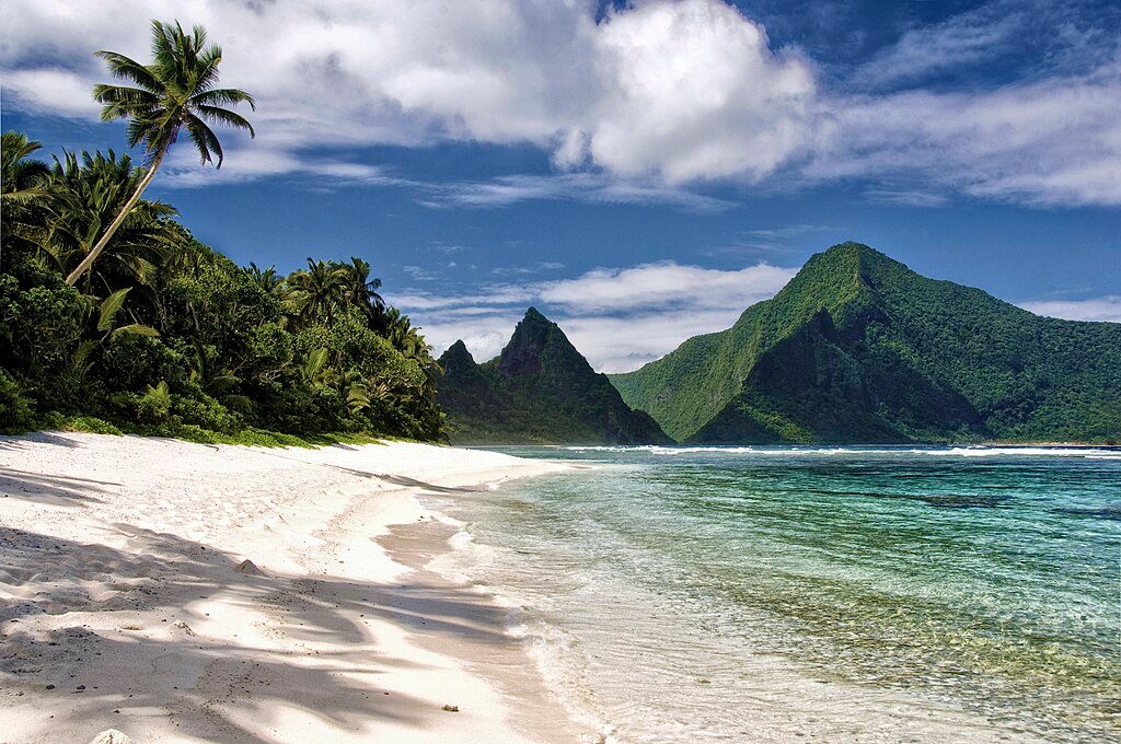
Place · 13.6 mi away
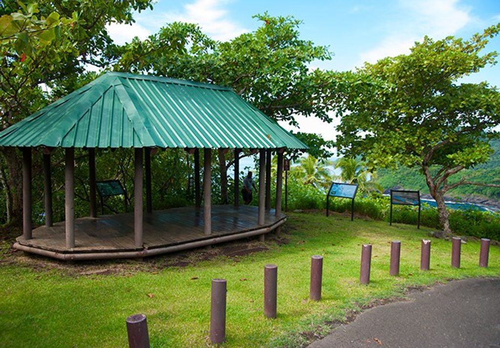
Moderate · 80.7 mi away
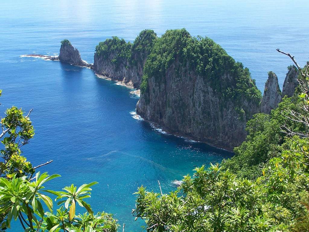
Easy · 81.4 mi away
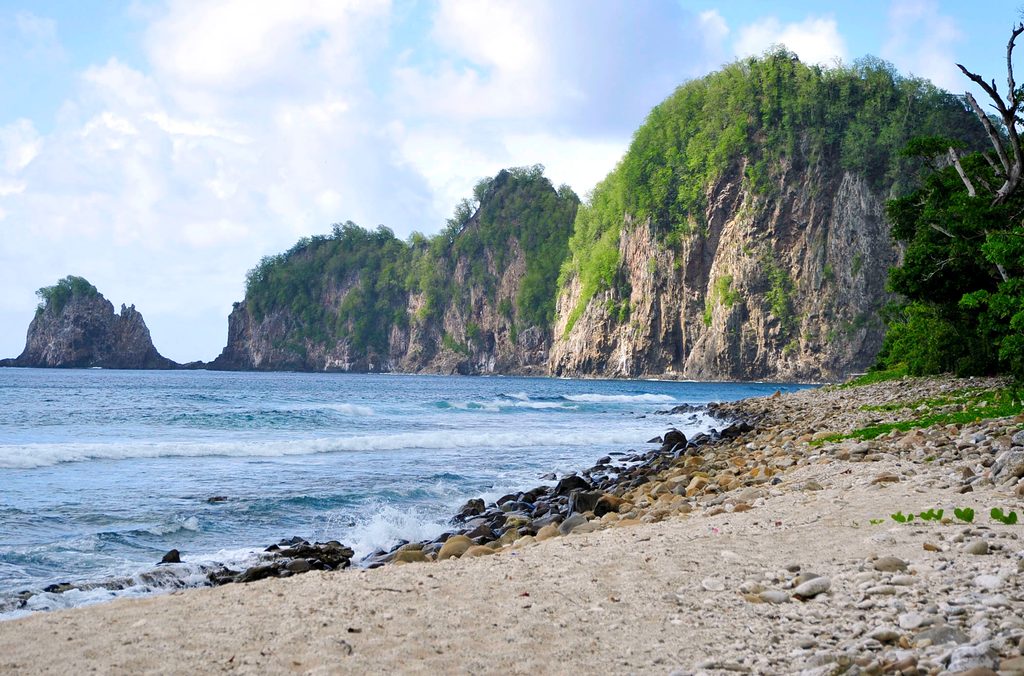
Challenging · 81.5 mi away
Challenging · 84.2 mi away

Parkwolf Tour Guide
