Parking
Fagasā Pass. Use the off-street pull-in through the stone wall at the top of the pass; the trailhead is beside it.
#1 of 10 trails in American Samoa
American Samoa National Park, AS
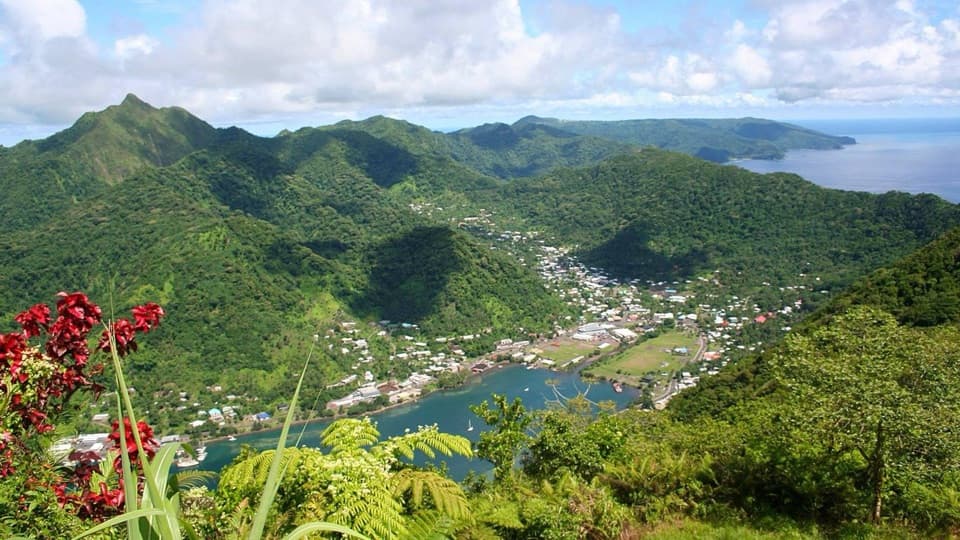
Rainforest ridge hiking leads to a wide view of Pago Pago Harbor.
Overview
Map & elevation
Plan your hike

The highest, rockiest slopes around here are a summer buffet for grizzly bears.
American Samoa Tour Guide
Parkwolf is a GPS audio tour guide for American Samoa National Park. As you drive, it chimes in with what’s ahead: hidden gems, upcoming stops, history, geology, and wildlife, right through your car’s speakers.
Recorded for this trailhead
Mount ʻAlava from Fagasā Pass“Fagasā Pass is coming up, with the trail to Mount ʻAlava and its wide view over Pago Pago Harbor.”
Plays as you drive up to this trailhead in the Parkwolf American Samoa Tour Guide.
More stories near here in the app
“Fantastic app with many points of information… It’s great to just turn on while you’re driving and it gives you an audio tour of the national Park. We love it!!!!”


Trail guide
Mount ʻAlava Trail is a 7-mile round-trip out-and-back from Fagasā Pass to Mount ʻAlava’s summit. It follows one old ridge access path through tropical rainforest, then returns the same way. Set aside about four hours. This is a challenging half-day hike, mostly shaded, with the harbor view saved for the top. The stated distance includes the walk back to Fagasā Pass; the mapped line follows the 3.52-mile corridor one way. It’s a strong choice if you want a substantial forest climb with a clear destination.
The ridge rises and dips instead of climbing evenly. NPS lists a typical trail grade of 5° and a maximum of 45°; route samples and hiking estimates put total climbing near 1,800 feet over the round trip. Rock and mud can be slick after rain, especially on the steeper pitches. Visitor estimates range from about three and a half to four and a half hours, so four hours is a fair starting plan before a longer summit stop. There is no drinking-water point listed along the trail, so start with enough water for the full hike.
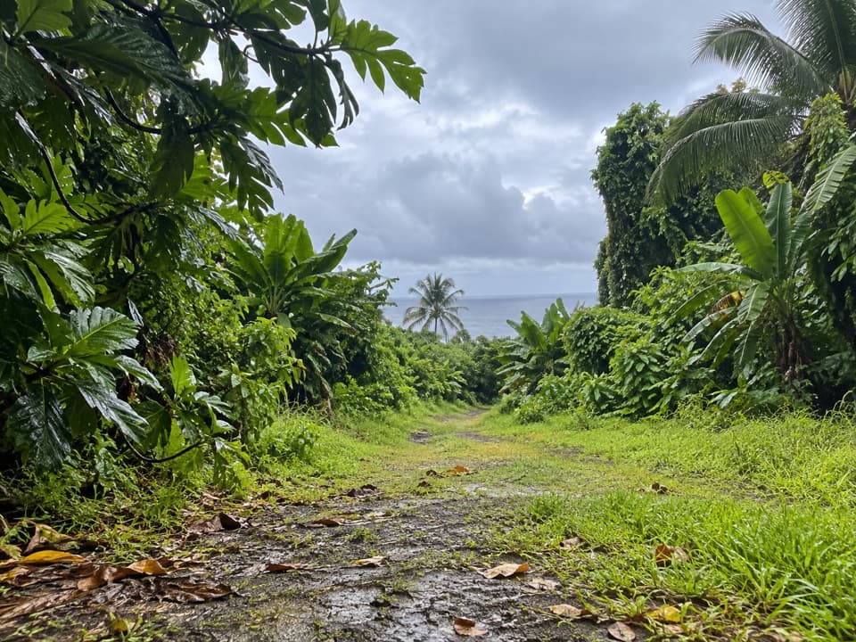
The first mile is shaded and broad, with old paving stones underfoot. After that, the track becomes softer and follows the ridge’s repeated rises and dips. There are shady places to pause and occasional breaks in the foliage, but don’t expect a view around every turn; walkers repeatedly describe the summit as the main payoff. The uneven surface makes this feel more demanding than the distance alone suggests.
Fagasa and Vatia villagers built this route as a way to reach the market and harbor at Pago Pago before government roads connected the area. The government later adapted the old path for vehicle use and added a summit tramway to help Vatia villagers move crops to market. Abandoned tram tracks remain near the top, a reminder that this ridge once carried produce as well as hikers.
The route passes through tropical Samoan rainforest. NPS notes fruit bats and many kinds of birds here, along with work to remove invasive trees and grow native plants in nurseries. Around halfway, the old route passes a banana and coconut plantation. The canopy is part of the experience: it keeps much of the hike in shade, though it also hides most long views until the ridge opens near the summit.
At the top, the harbor spreads below the green ridges. On a clear day, NPS says you can see the Manuʻa Islands to the east and Aoloau to the west. The summit platform gives you the wide harbor view; from there, look back along the ridge toward Fagasā Pass. For a phone photo, keep some of the foreground leaves or ridgeline in the frame so the harbor doesn’t flatten into a strip of water.
This record is the Fagasā Pass to summit hike and back on the same path. Mount ʻAlava Adventure Trail is a separate ladder-and-step loop that descends toward Vatia; the Fatifati Auala route is another approach on the ridge. They meet the summit area, but their steps, distances and return logistics are not part of this seven-mile out-and-back.
Wildlife
 19 sightingsNoddyMost seen around 6 PMSighting map
 11 sightingsSamoan StarlingMost seen around 9 AMSighting map
 17 sightingsButterflyfishMost seen around 11 AMSighting map
 19 sightingsHermit CrabMost seen around 5 PMSighting map
 10 sightingsMigratory ShorebirdMost seen around 7 AMSighting map
 11 sightingsCane ToadMost seen around 7 PMSighting map
Sighting maps show where each species has been reported across American Samoa. Wildlife moves, so no sighting is guaranteed.
Keep exploring
 ChallengingOld Vatia Trail2 mi · 2.5 hr · 3.4 mi awayA steep rainforest climb from Vatia to the ʻAlava ridge.
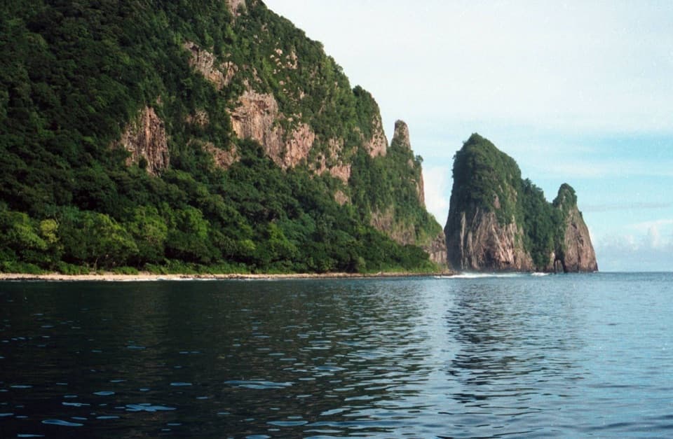 EasyPola Island Trail0.1 mi · 20 min · 4 mi awayA short rocky-shore walk with views of Pola Island.
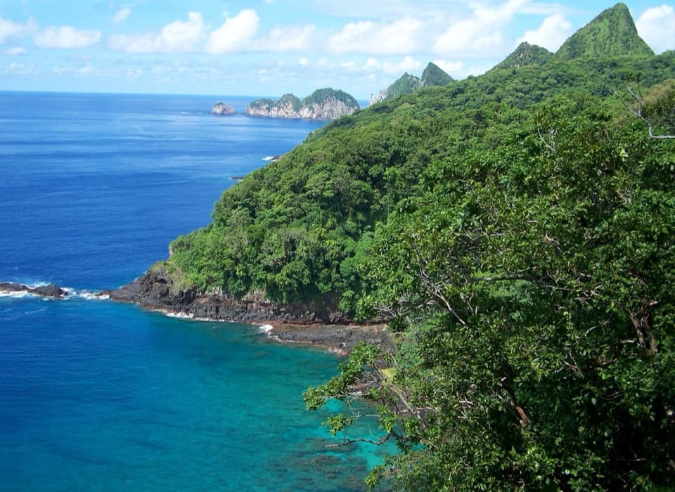 ChallengingUpper Sauma Ridge Trail2.2 mi · 3.5 hr · 4.1 mi awayA steep rainforest climb to views of Vatia and Pola.
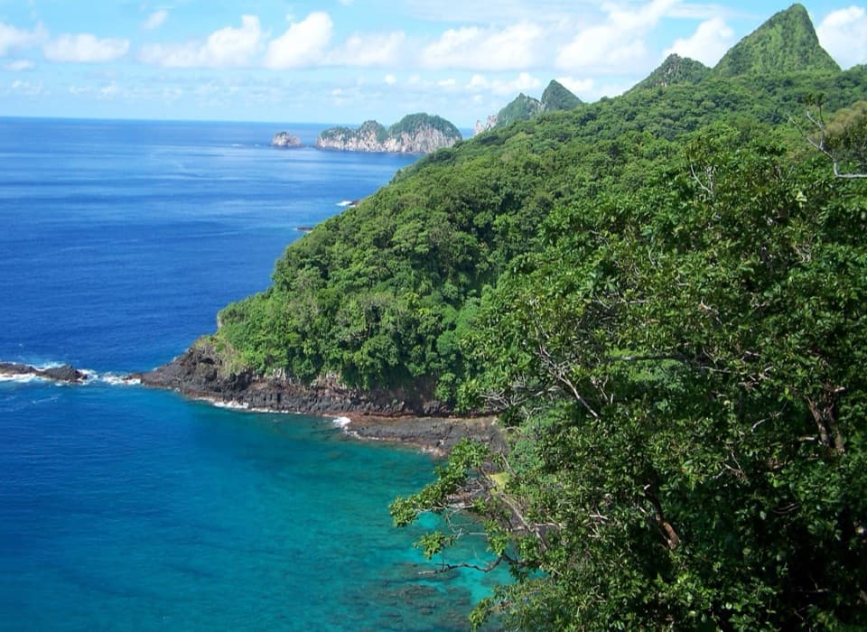 ModerateLower Sauma Ridge Trail0.4 mi · 38 min · 4.2 mi awayA half-hour walk to Samoan archaeology and Pola Island views.
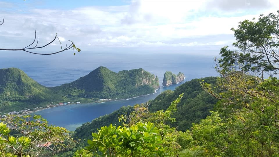 ChallengingMount ʻAlava Adventure Trail5.6 mi · 5 hr · 4.3 mi awayA hard ridge loop with 56 ladders, 783 steps, and a summit.
 Visitor center · 1.3 mi awayNational Park of American Samoa Visitor CenterBilingual displays and ranger advice make this a useful first stop.
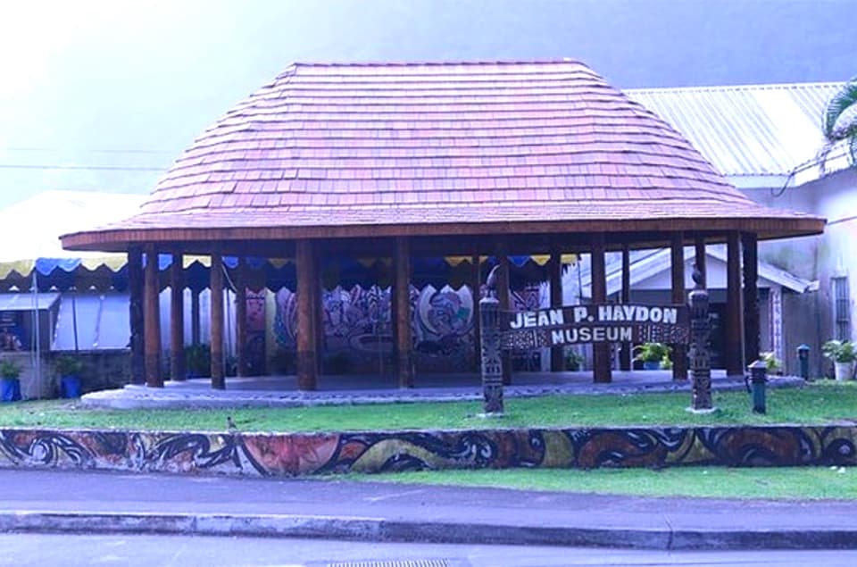 Sight · 1.8 mi awayJean P. Haydon MuseumA museum cannon and Apollo artifacts open onto Samoa’s wider history.
 Sight · 2 mi awayHistoric Tramway LookoutFollow the old cableway story to a wide Pago Pago Harbor view.
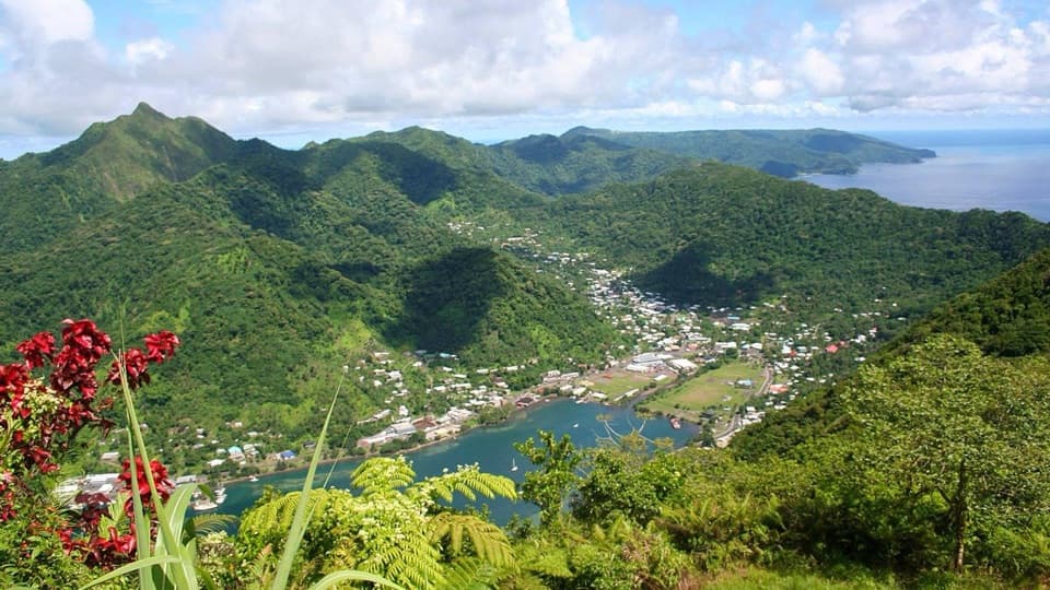 Sight · 2.1 mi awayMount Alava SummitA hard rainforest climb earns a wide view over Pago Pago Harbor.
 Visitor center · 2.1 mi awayTauese P.F. Sunia Ocean CenterA six-foot globe connects reef science with Samoan culture.
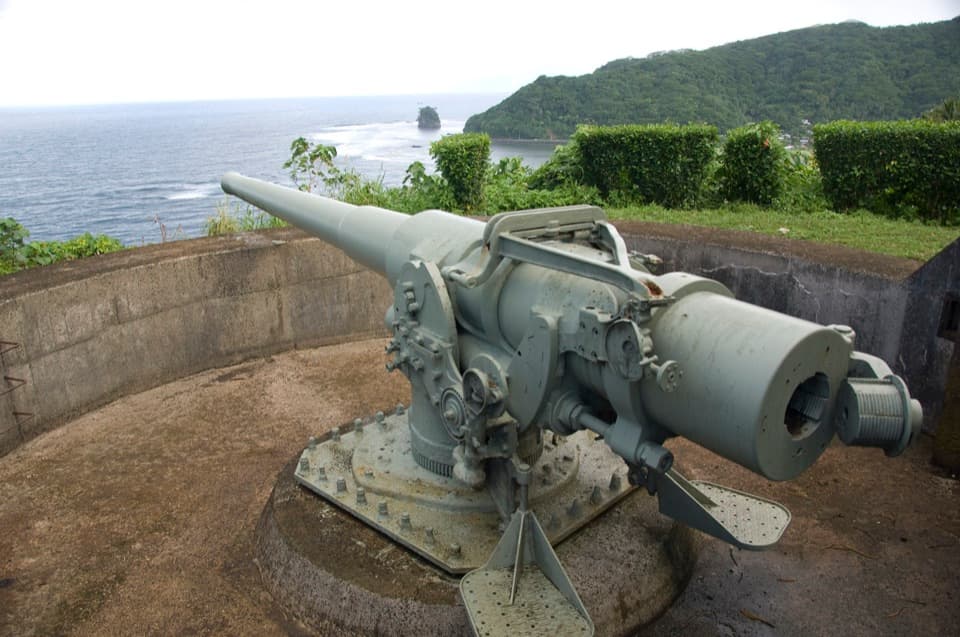 Sight · 2.4 mi awayBlunts Point BatteryTwo guns still overlook the harbor from a short, steep ridge walk.
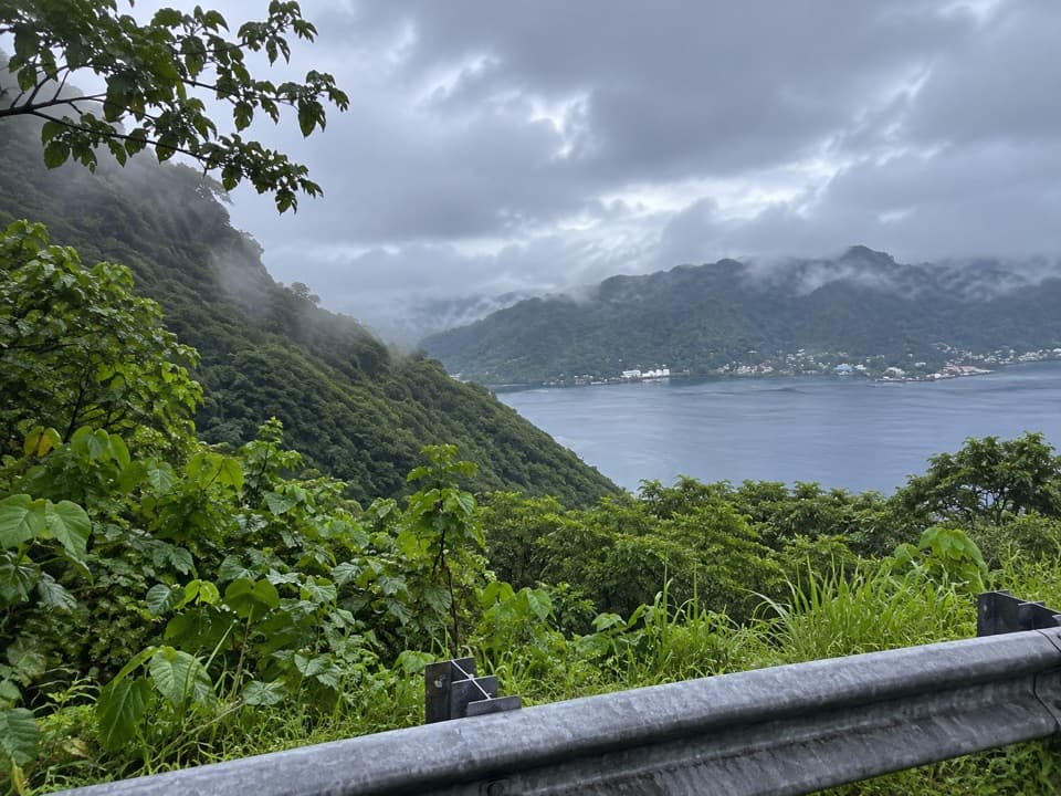 Scenic pullout · 4 mi awayAfono Pass OverlookA quick harbor view between Tutuila's green ridges.
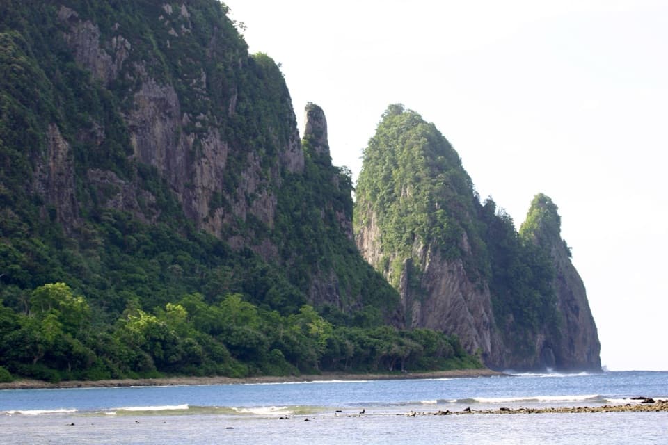 Beach · 4.1 mi awayPola Island BeachA brief walk faces Pola's steep, seabird-nesting cliffs.
Parkwolf’s American Samoa ranking

The audio tour guide for the drive, plus offline maps, trails, and wildlife heatmaps for when the signal drops.