
Place · 2.3 mi away
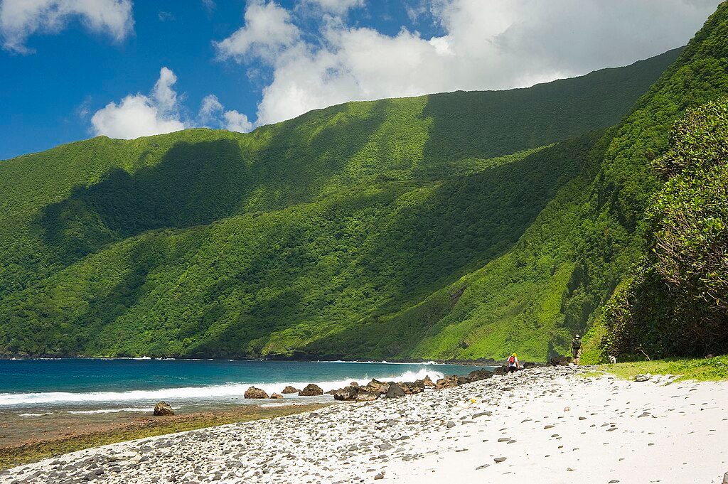
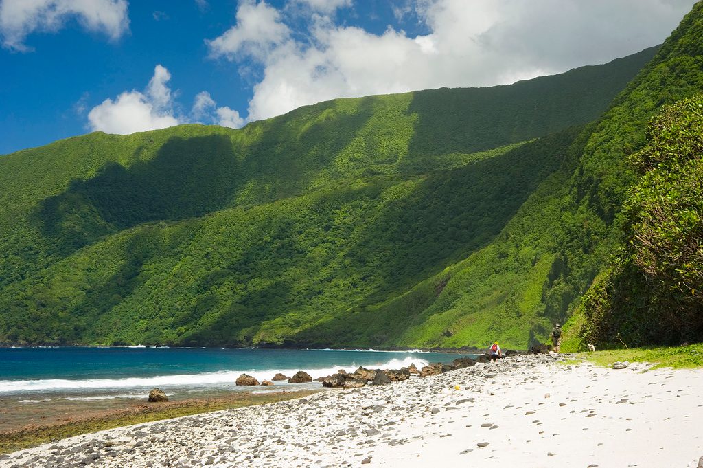
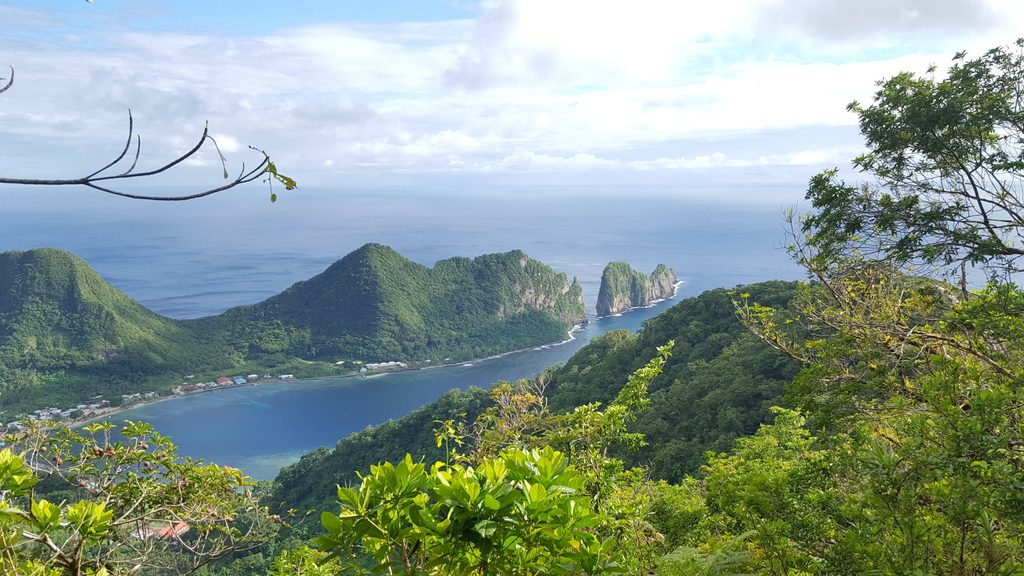
Si‘u Point is a rugged coastal promontory on Ta‘ū’s southeast edge, reached by a signed hiking route that delivers big ocean drama and genuine solitude. It feels far from everything—in a good way—offering an unspoiled slice of the park’s volcanic coast without any frills.
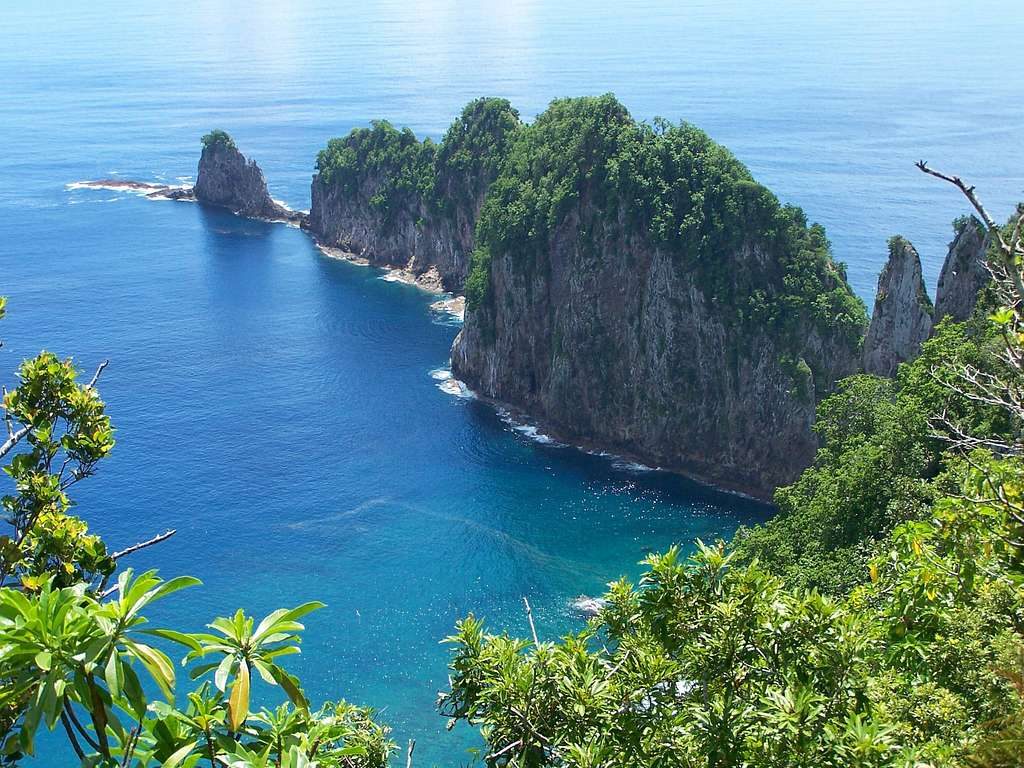
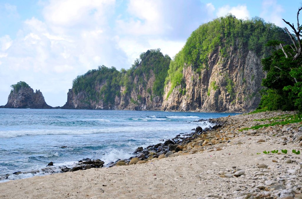
Expect crashing Pacific swells, steep sea cliffs, and lush rainforest tumbling toward the shoreline. On clear days, the headland gives wide-open views and excellent photo angles of the wild coast. The setting is classic Ta‘ū: basalt cliffs sculpted by waves and erosion, with the island’s high interior relief feeding that dramatic, edge‑of‑the‑world feel.
The hike follows a mapped trail to the point, roughly a moderate out‑and‑back (about 5.5 miles round trip). It begins near the end of the main road by Fiti‘uta and passes the Saua site—an important, sacred place in Samoan tradition—before tracing the shoreline toward the headland. Near the end, the path narrows and feels wilder. After rains, sections turn muddy and overgrown; sturdy footwear pays off.
You’ll pass the Saua area on the way—treat it with care. This is living heritage: keep voices low, stay on the path, and don’t disturb any features.
This coast is beautiful but unforgiving. Stay well back from cliff edges, watch for loose ground and potential rockfall, and give heavy surf a wide berth. There are no facilities at the point—come self‑sufficient with water, snacks, and basics.
Si‘u Point stays quiet most days thanks to Ta‘ū’s remoteness. Aim for a dry-weather window to avoid mud and brushy, slick sections. Clear days maximize the long coastal views.
Birdlife is present along this coast and forest edge, though sightings vary. Keep an eye on sea cliffs and the canopy as you hike.
On official park maps for Ta‘ū, this headland appears as “Si‘ulagi Point,” with a hiking trail leading to it.
Place · 2.3 mi away
Place · 13.5 mi away
Place · 14 mi away
Place · 15.7 mi away
Moderate · 82.9 mi away
Easy · 83.6 mi away
Challenging · 83.7 mi away
Challenging · 86.4 mi away

Parkwolf Tour Guide
