Ball Hut in Aoraki / Mount Cook National Park

Lodging · Aoraki / Mount Cook National Park

Ball Hut

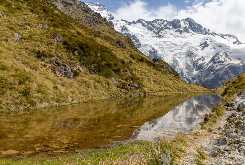
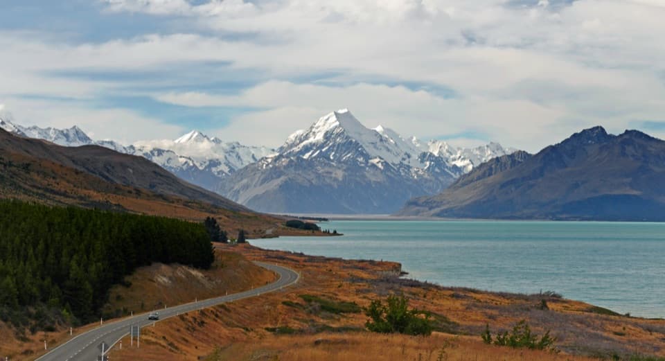
A three-bunk hut rewards a serious walk with glacier views.

Photo: Flickr

Overview

About Ball Hut

Why stop

  • Views across the Tasman Glacier to surrounding peaks

Heads up

  • Advanced, exposed access beyond Husky Flat

Map

Where it is

Loading the Aoraki / Mount Cook map
Full map
LodgingBall Hut-43.62458, 170.19097
Keep this map with you offline in the Parkwolf app

Plan your stop

Before you go

2 active Aoraki / Mount Cook alerts

  • CautionBall Hut Track: impassable gorge at Husky FlatMentions this placeThe Ball Hut Track is severely affected at Husky Flat; beyond the gorge there is no marked route. - A severe weather event significantly damaged the track and created a large, impassable gorge.Official details
  • CautionHooker Valley Track: 20-person bridge limitNo more than 20 people may be on the first Hooker Valley Track suspension bridge at one time. DOC is enforcing the limit because cable wear has been identified on the 47-year-old structure.Official details
Aoraki / Mount Cook alerts
A park ranger sits on a dash-mounted phone, talking, as Parkwolf’s Tour Guide plays “Army Cutworm Moths: A Grizzly Bear Buffet” on Grand Loop Road below Dunraven Pass in Yellowstone
Parkwolf Tour GuideThe highest, rockiest slopes around here are a summer buffet for grizzly bears.

Aoraki / Mount Cook Tour Guide

Your drive to Ball Hut, narrated.

Parkwolf is a GPS audio tour guide for Aoraki / Mount Cook National Park. As you drive, it chimes in with what’s ahead: hidden gems, upcoming stops, history, geology, and wildlife, right through your car’s speakers.

More stories near here in the app

  • Tasman Glacier View and the Green Blue Lakes
  • 24 audio storiesacross Aoraki / Mount Cook’s roads, triggered by GPS as you drive
  • Wildlife heatmapsfor Kea, Rockwren, New Zealand Falcon, and 13 more
  • Works offlinemaps, 15 trails, 30 places, and audio download before you lose signal
  • CarPlay readysimple controls built for the drive
★★★★★
“Fantastic app with many points of information… It’s great to just turn on while you’re driving and it gives you an audio tour of the national Park. We love it!!!!”
JMJamesApp Store review
Download Parkwolf on the App StoreGet Parkwolf on Google Play

4.7 from 8,600+ ratings

Guide

More about Ball Hut

A remote hut at Tasman GlacierBall Hut is a remote, three-bunk backcountry hut on the edge of the Tasman Valley, reached on…

Ball Hut is a remote, three-bunk backcountry hut on the edge of the Tasman Valley, reached on foot from the end of Tasman Valley Road. It suits experienced trampers who want a night near the Tasman Glacier, not anyone looking for a casual roadside stop. The 9 km return route takes 3–4 hours each way, so plan for a substantial day of walking.

The route turns serious at Husky FlatThe first stretch follows the old Ball Hut Road, now a 4WD track.

The first stretch follows the old Ball Hut Road, now a 4WD track. Beyond Husky Flat, a severe weather event in 2019 left an impassable gorge; the route goes above it over unmarked, exposed ground and unstable moraine with collapsed sections. Good navigation and high backcountry skills are essential. Check current conditions at the visitor centre before setting out. Avalanches can cross the access route from June to November, and dogs aren't allowed.

A hut with just three bunksInside are three bunks with mattresses, a non-flush toilet, and tap water that must be boiled.

Inside are three bunks with mattresses, a non-flush toilet, and tap water that must be boiled. The hut is first-come, first-served, so carry a tent in summer in case the bunks are full. No food service is listed; bring what you need.

Four huts on the same siteThe current hut is the fourth structure of that name here.

The current hut is the fourth structure of that name here. The first was built in 1891 and destroyed by an avalanche in 1925; the second burned in 1977, and the third was removed in 2009 after erosion brought the moraine wall within 10 metres. The old access road began after a bridge across the Hooker River was built in 1915, and work gangs reached the hut in 1930.

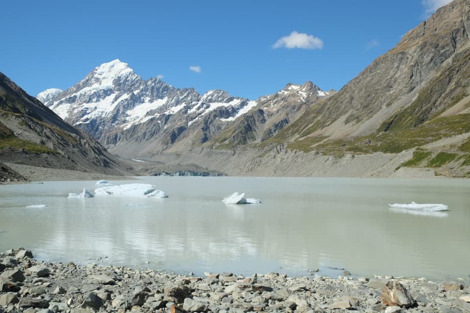
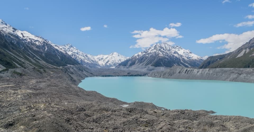
Near the hut, the view opens across the Tasman Glacier toward the Rudolf and Hochstetter glaciers. Save time to take it in at the end of the old 4WD track, where the broad view opens up.

Wildlife

Wildlife in Aoraki / Mount Cook

All Aoraki / Mount Cook wildlife maps

Sighting maps show where each species has been reported across Aoraki / Mount Cook. Wildlife moves, so no sighting is guaranteed.

Parkwolf’s Aoraki / Mount Cook ranking

Top sights in Aoraki / Mount Cook

All 30 places
  1. 1Hooker LakeSight
  2. 2Tasman Glacier ViewSight
  3. 3Kea PointSight
  4. 4Sir Edmund Hillary Alpine CentreSight
  5. 5Sealy TarnsSight
  6. 6Tapataia Mahaka / Peters LookoutSight

Take Parkwolf to Aoraki / Mount Cook.

The audio tour guide for the drive, plus offline maps, trails, and wildlife heatmaps for when the signal drops.

4.7 from 8,600+ ratings

Download Parkwolf on the App StoreGet Parkwolf on Google Play