
Place · 0.2 mi away
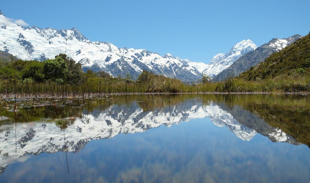
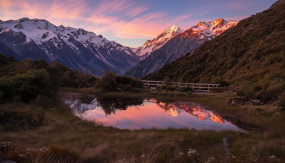
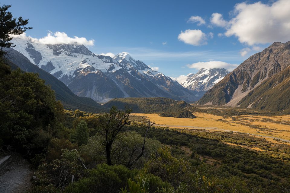
Red Tarns get their name from the red pondweed that sometimes tints these small alpine lakes. The payoff is classic Southern Alps scenery: sweeping views over the village to Aoraki/Mount Cook, and—when the wind drops—glassy reflections that rival the park’s more famous mirror lakes. Summer sunsets can paint the peaks pink.
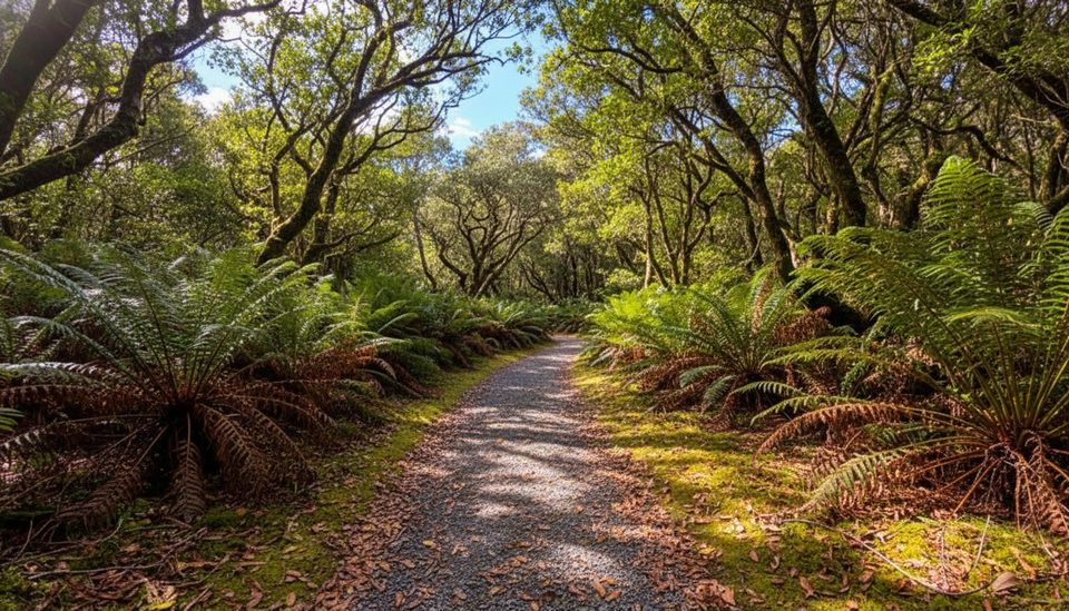
From the public shelter on Bowen Drive, follow the path downhill, cross Black Birch Stream, then tackle steady stairs and switchbacks. You’ll climb from bush to open slopes with ever‑growing views, reaching a flat 250 m loop around several tarns. Expect about 1.5–2 hours return, around 3.7–4.6 km total, and roughly 300–370 m of ascent. The track is well‑formed gravel with lots of steps; after rain, the stairs can be slippery. There’s no shade, but you’ll find benches near the top and helpful mountain dials/info to identify the peaks. In winter the tarns can freeze and the steps/boardwalk can be icy—traction helps.
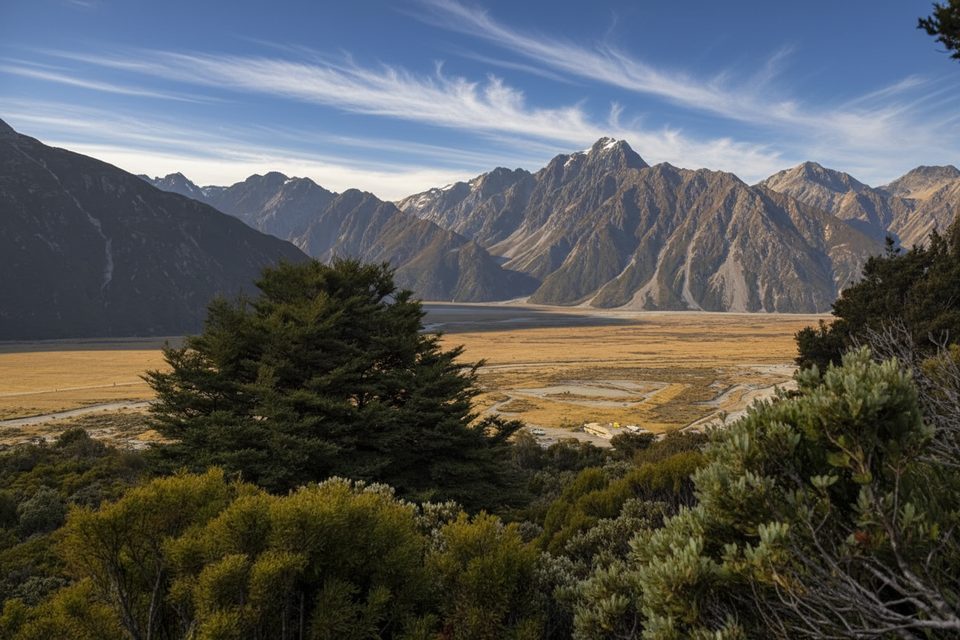
Short effort, big reward. The perspective over U‑shaped glacier‑carved valleys makes the setting pop, and on calm evenings the main tarn becomes a perfect mountain mirror.
Glaciers shaped everything you see here. At the end of the last ice age a massive glacier filled the Hooker and Tasman valleys; as it retreated it carved today’s classic U‑shapes. Around 40% of the park is still glaciated, including the country’s largest, the Haupapa/Tasman Glacier. The wider area is part of the Te Wāhipounamu World Heritage site.
The park supports around 35 bird species; rarities include the black stilt and the pīwauwau (rock wren). Stay on formed tracks and give any wildlife plenty of space.
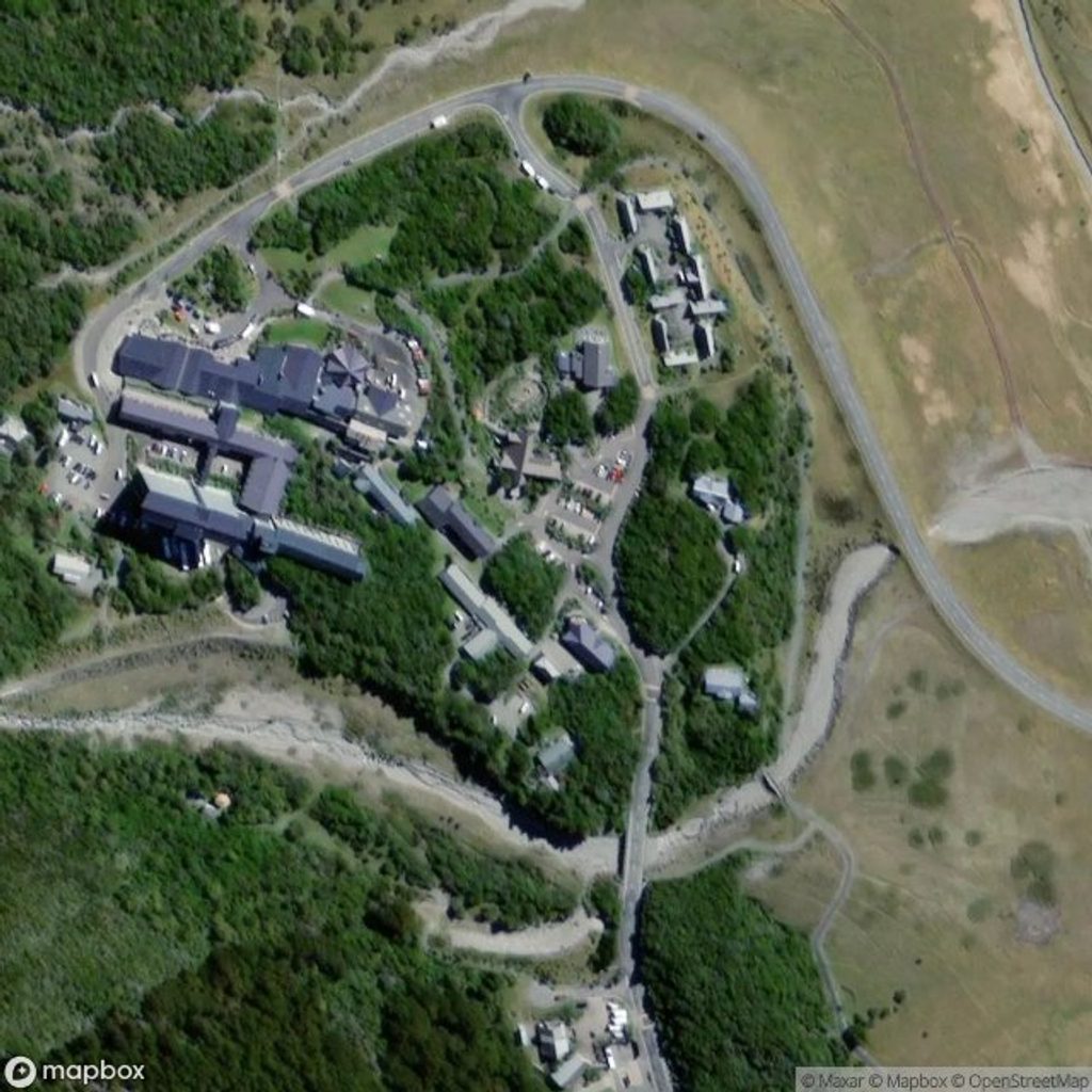
Trailhead: Mount Cook Village Public Shelter on Bowen Drive. Facilities here include toilets, coin‑operated showers, and outdoor BBQs; camping at the shelter isn’t allowed. Parking beside the shelter is very limited—most people just walk from their accommodation. The track is free and typically open year‑round, weather permitting. Drones are not allowed without a Department of Conservation permit (recreational approvals are rarely given). Dogs are not permitted. Intercity buses run to the village from major hubs, making this an easy walk if you’re car‑free.
Go for sunset in summer if you want alpine glow on the peaks. Aim for a calm day for the best reflections. Starting early helps with cooler temps and clearer views; if you stay for sunset, bring a headlamp—the well‑formed track makes the descent straightforward.
Place · 0.2 mi away
Place · 0.8 mi away
Place · 0.8 mi away
Place · 1 mi away
Moderate · 0.7 mi away
Easy · 0.7 mi away
Easy · 0.7 mi away
Easy · 1 mi away

Parkwolf Tour Guide
