Parking
Start at the Mt Cook Village public shelter on Bowen Drive; a small car park and toilets are beside this trailhead.
#10 of 15 trails in Aoraki / Mount Cook
Aoraki / Mount Cook National Park, SI
A shaded beech climb that ends with an Aoraki view.
Overview
Map & elevation
Plan your hike

The highest, rockiest slopes around here are a summer buffet for grizzly bears.
Aoraki / Mount Cook Tour Guide
Parkwolf is a GPS audio tour guide for Aoraki / Mount Cook National Park. As you drive, it chimes in with what’s ahead: hidden gems, upcoming stops, history, geology, and wildlife, right through your car’s speakers.
Recorded for this trailhead
Red Tarns from Bowen Drive“You're nearing the public shelter on Bowen Drive, the start of the Red Tarns walk.”
Plays as you drive up to this trailhead in the Parkwolf Aoraki / Mount Cook Tour Guide.
More stories near here in the app
“Fantastic app with many points of information… It’s great to just turn on while you’re driving and it gives you an audio tour of the national Park. We love it!!!!”


Trail guide
Governors Bush Walk is a 1.01-mile loop from the Mt Cook Village public shelter through one of the park’s few stands of silver beech, up to Wakefield Ridge, and back to the village. Allow about an hour. The full mapped loop is about 1.6 km; another published figure is 1.2 km, so plan for the longer line. It’s a good way to trade the village’s open alpine setting for a sheltered forest walk without giving up a mountain outlook.
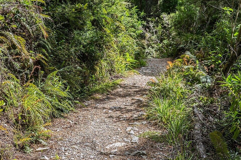
The gravel path climbs gradually through the bush, with plenty of timber-edged steps on steeper sections. At Wakefield Ridge the trees open for a look toward Aoraki / Mount Cook and the surrounding ranges. The loop descends on a different forest leg toward the Red Tarns junction, then returns to the village. Keep toward the village at that junction; following Red Tarns adds a separate, longer hike.
Tawai or tawhai, the local silver beech, grows in one of the park’s few forest stands here. Plant labels make this a nice walk to take slowly, and birdlife is part of the appeal. The leafy understory and shade feel a world away from the open alpine slopes around the village.
Begin at the public shelter in Mt Cook Village, where there’s a small car park and toilets. Dogs aren’t allowed. The stepped gravel track can be slippery when wet. At the ridge, keep a little of the beech canopy in the bottom of a photo; it shows the sheltered forest against the mountain view.
Wildlife
 139 sightingsKeaMost seen around 9 AMSighting map
 74 sightingsRockwrenMost seen around 10 AMSighting map
 46 sightingsNew Zealand FalconMost seen around 10 AMSighting map
 15 sightingsKererūMost seen around 9 AMSighting map
 16 sightingsBellbirdMost seen around 7 AMSighting map
 33 sightingsBlack-fronted TernMost seen around 5 PMSighting map
Sighting maps show where each species has been reported across Aoraki / Mount Cook. Wildlife moves, so no sighting is guaranteed.
Keep exploring
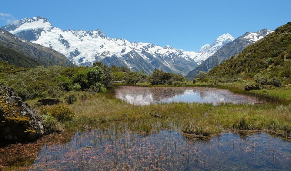 ModerateRed Tarns Track4 km · 2 hr · At the trailheadA steep stair climb ends at mountain tarns and Aoraki views.
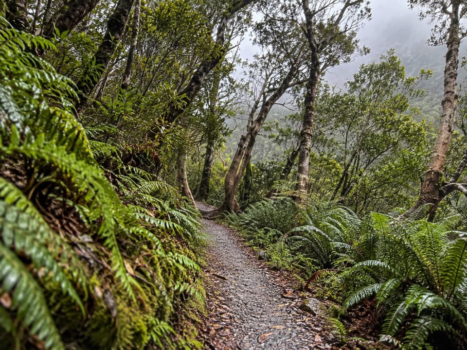 EasyBowen Bush Walk0.2 km · 10 min · 0.1 km awayA quick native-bush loop steps from the village.
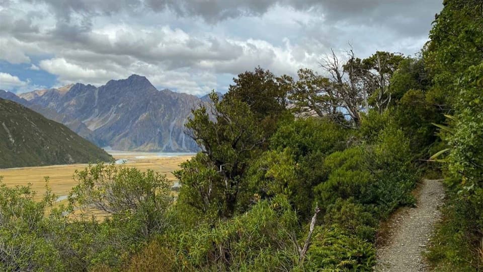 EasyGlencoe Walk0.6 km · 30 min · 0.5 km awayA short bush climb for a village, glacier and Aoraki view.
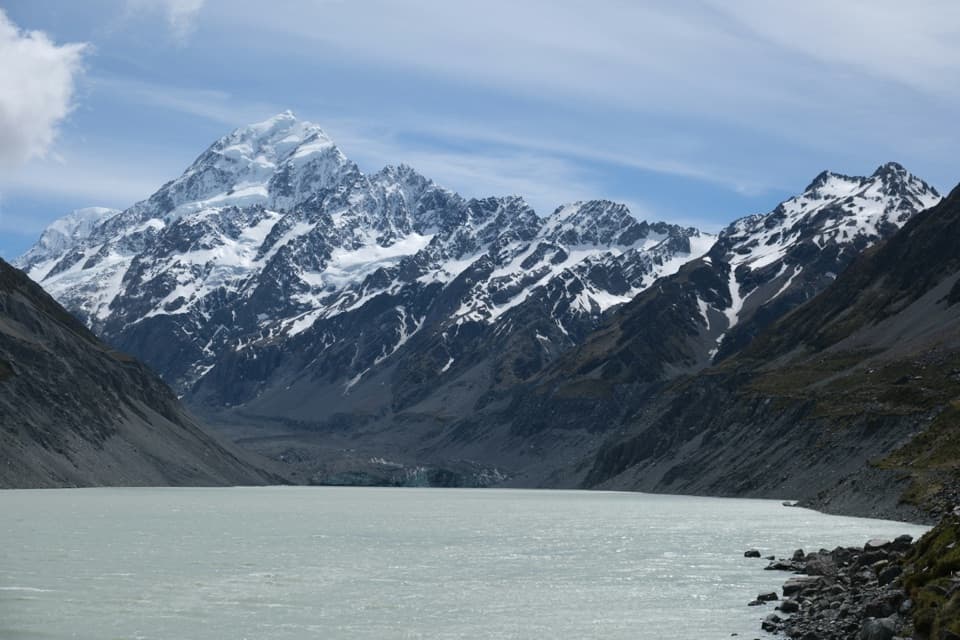 ModerateHooker Valley Track10 km · 3.5 hr · 1.9 km awayThree swing bridges lead to a glacier lake beneath Aoraki.
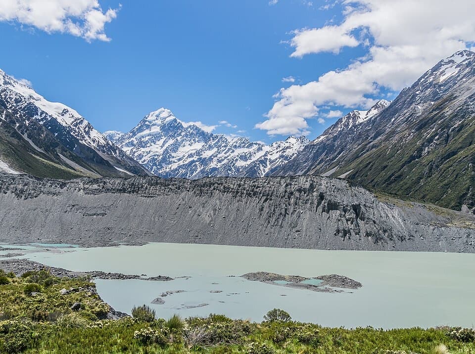 EasyKea Point Track3.1 km · 1.3 hr · 2 km awayA short climb to a deck above Mueller Lake and the moraine.
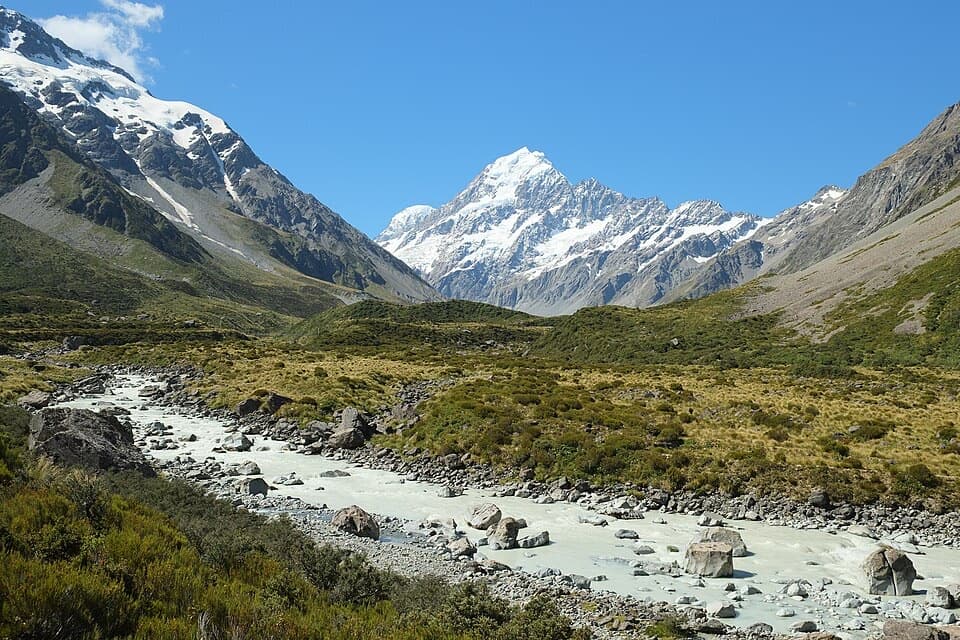 ModerateHooker Hut Track8.7 km · 4 hr · 2 km awayA restored 1910 mountaineering hut at the end of an alpine walk.
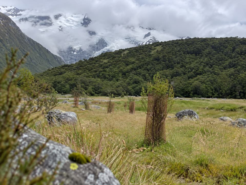 EasyAlps 2 Ocean Cycle Trail: White Horse Hill to Mount Cook Airport8 km · 2.3 hr · 2 km awayA gentle Tasman Valley descent, with the Alps behind you.
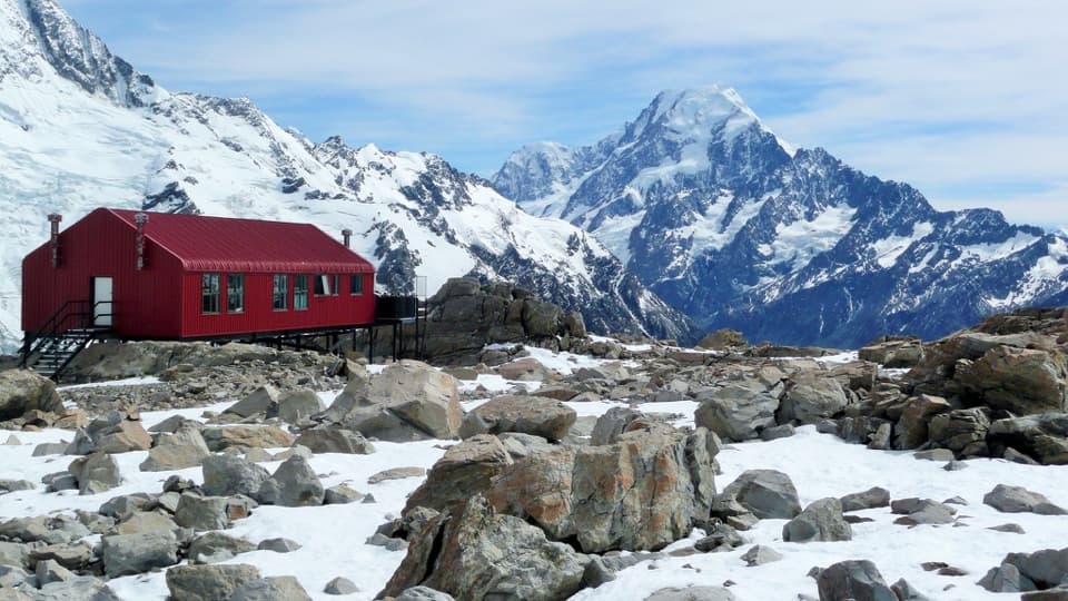 ChallengingMueller Hut Route10.4 km · 8 hr · 2.1 km awayA steep climb to a red hut above glaciers and ice cliffs.
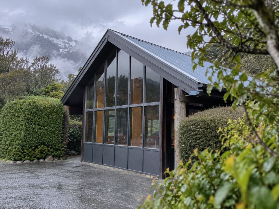 At the trailheadMount Cook Village Public ShelterA sheltered village stop for toilets, showers, and the Red Tarns start.
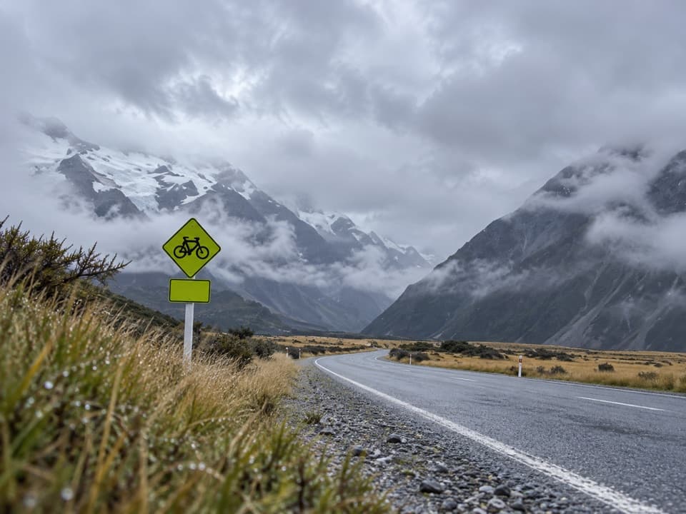 Gas station · 0.1 km awayMount Cook Village Petrol StationA useful top-up in the remote village before the long drive back.
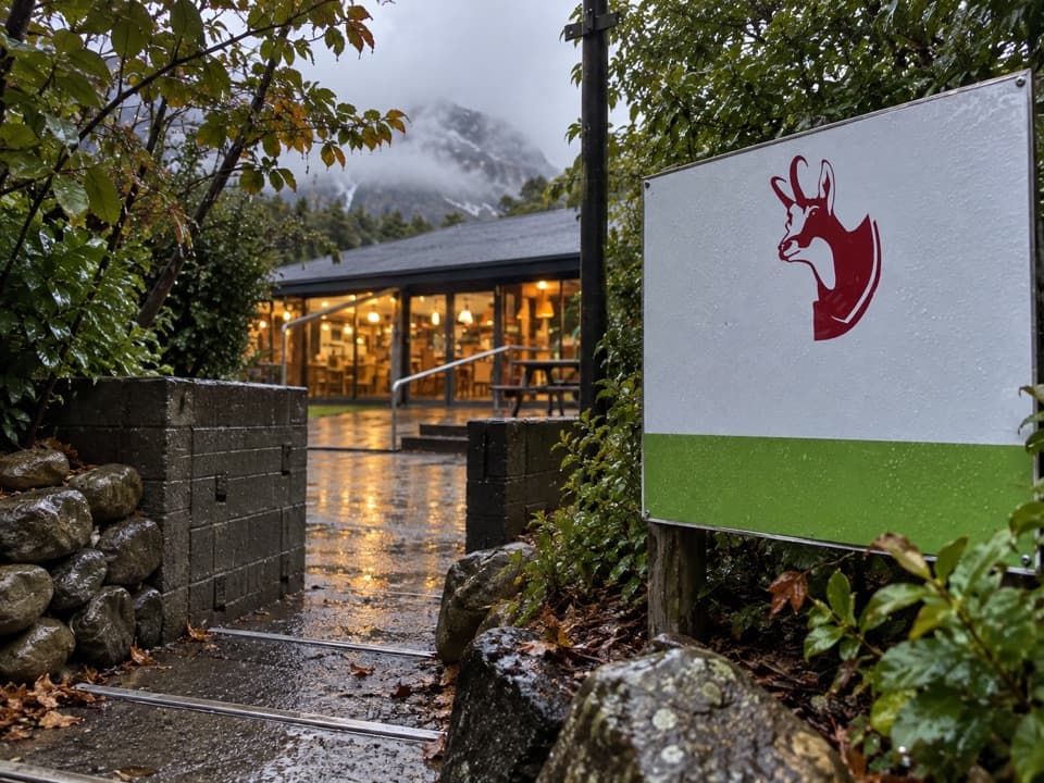 Restaurant · 0.2 km awayChamois Bar & GrillA pub meal with mountain views at Mt Cook Lodge.
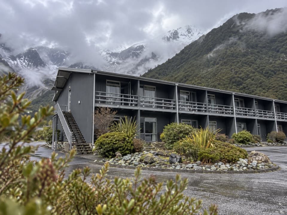 Lodging · 0.2 km awayMt Cook Lodge & MotelsA handy lower-village base; some rooms look toward Hooker Valley.
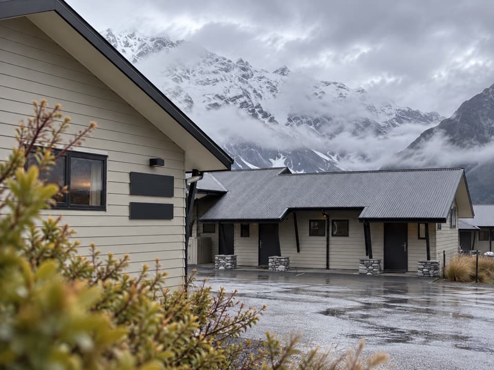 Lodging · 0.3 km awayAoraki Court MotelA self-contained village motel with rooms facing Mount Sefton.
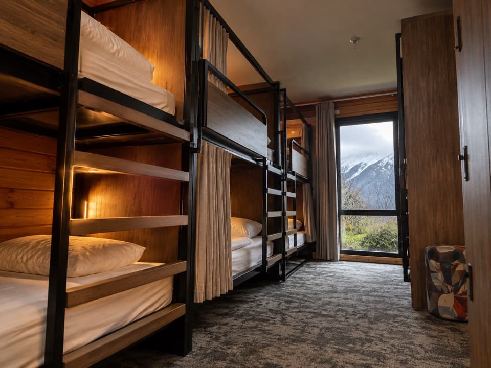 Lodging · 0.3 km awayHaka House Aoraki / Mount CookA village hostel with private rooms and shared dorms.
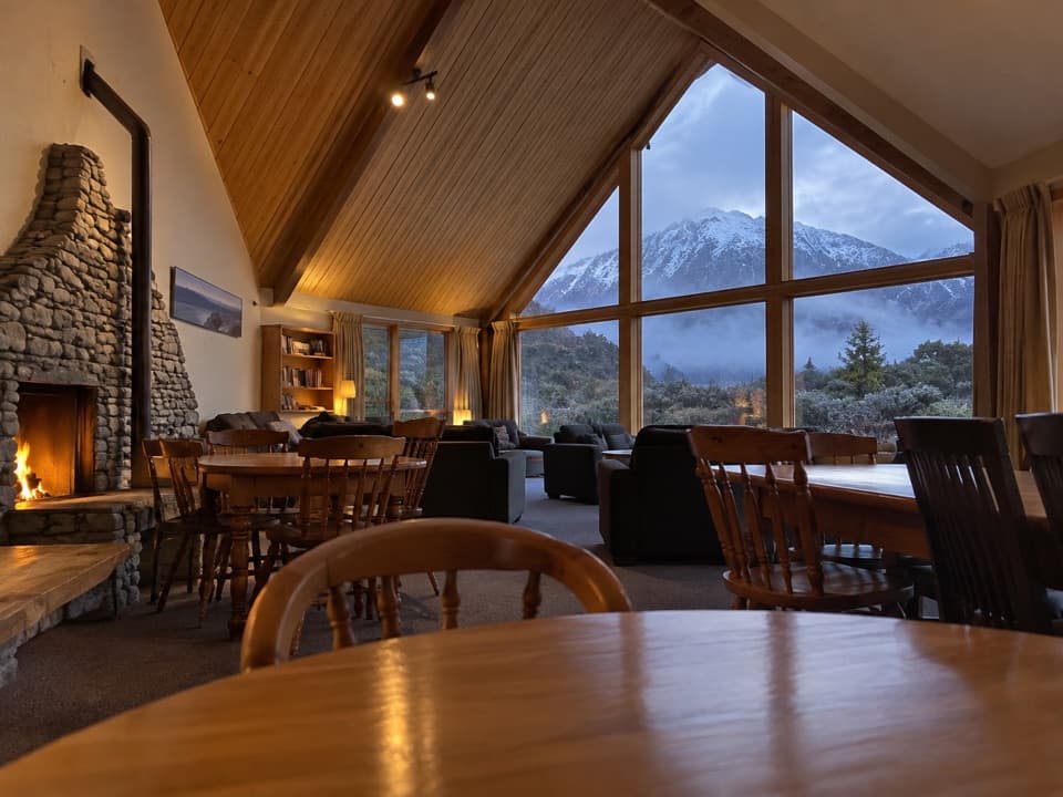 Lodging · 0.3 km awayAoraki Alpine LodgeA self-catering village base with a mountain-facing lounge.
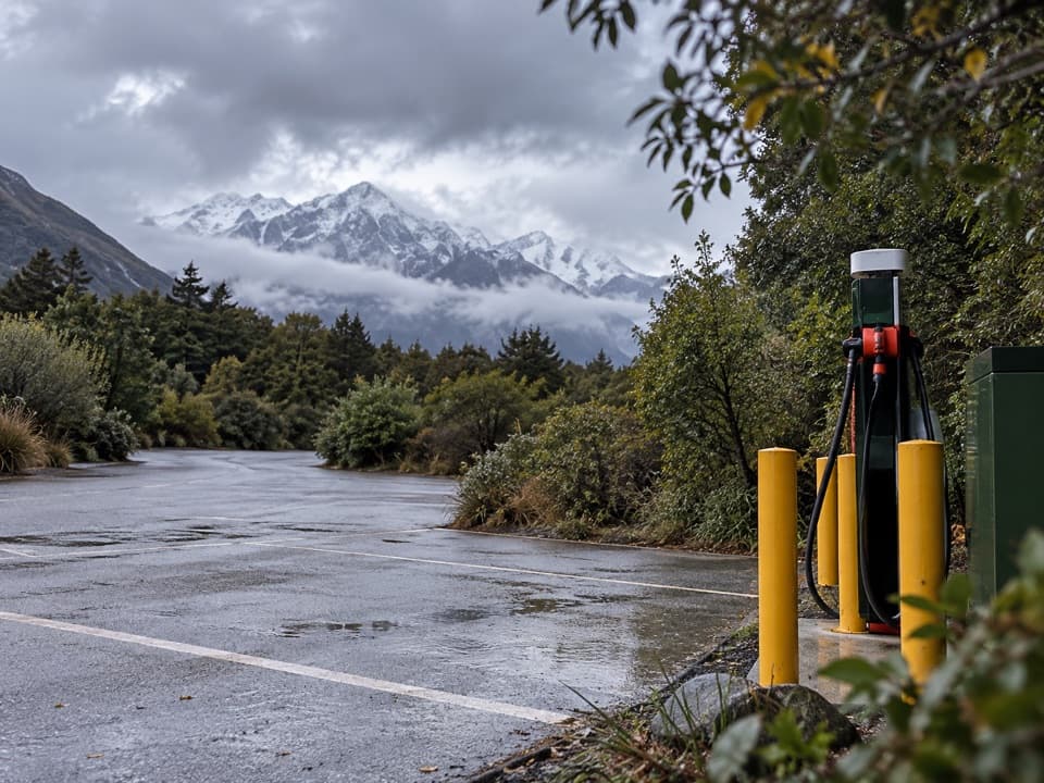 Gas station · 0.4 km awayChargeNet Aoraki / Mount CookVillage charger; check ChargeNet's live map before relying on it.
Parkwolf’s Aoraki / Mount Cook ranking

The audio tour guide for the drive, plus offline maps, trails, and wildlife heatmaps for when the signal drops.