Parking
Start behind The Hermitage Hotel in Aoraki / Mount Cook Village.
Aoraki / Mount Cook National Park, SI
A short bush climb for a village, glacier and Aoraki view.
Overview
Map & elevation
Plan your hike

The highest, rockiest slopes around here are a summer buffet for grizzly bears.
Aoraki / Mount Cook Tour Guide
Parkwolf is a GPS audio tour guide for Aoraki / Mount Cook National Park. As you drive, it chimes in with what’s ahead: hidden gems, upcoming stops, history, geology, and wildlife, right through your car’s speakers.
Recorded for this trailhead
The Hermitage and Hillary’s Alpine Centre“You're nearing The Hermitage, home to the Sir Edmund Hillary Alpine Centre. I'd allow about an hour for this compact museum and its films if you're interested in climbing history.”
Plays as you drive up to this trailhead in the Parkwolf Aoraki / Mount Cook Tour Guide.
More stories near here in the app
“Fantastic app with many points of information… It’s great to just turn on while you’re driving and it gives you an audio tour of the national Park. We love it!!!!”


Trail guide
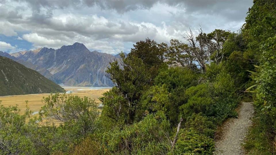
Glencoe Walk is a 0.37-mile out-and-back from behind The Hermitage Hotel to a lookout near the water tanks. It takes about 30 minutes return and climbs about 40 m, so it’s a good pick for a short bush walk and a clear view without a long day on your feet. The lookout sits above the village, facing Hooker Glacier and Aoraki / Mount Cook.
Start behind the hotel and follow the track as it zigzags through tōtara trees and ferns. The distance is short, but steps and a steady climb make it more than a flat stroll. You return the same way.
The lookout is near the prominent water tanks above The Hermitage. Look back toward the village, then out to the white ice of Hooker Glacier and Aoraki / Mount Cook. Sunrise or sunset is a good time for the light on the mountains.
Dogs aren’t allowed on this track. Drone flights on conservation land need a permit.
Wildlife
 139 sightingsKeaMost seen around 9 AMSighting map
 74 sightingsRockwrenMost seen around 10 AMSighting map
 46 sightingsNew Zealand FalconMost seen around 10 AMSighting map
 15 sightingsKererūMost seen around 9 AMSighting map
 16 sightingsBellbirdMost seen around 7 AMSighting map
 33 sightingsBlack-fronted TernMost seen around 5 PMSighting map
Sighting maps show where each species has been reported across Aoraki / Mount Cook. Wildlife moves, so no sighting is guaranteed.
Keep exploring
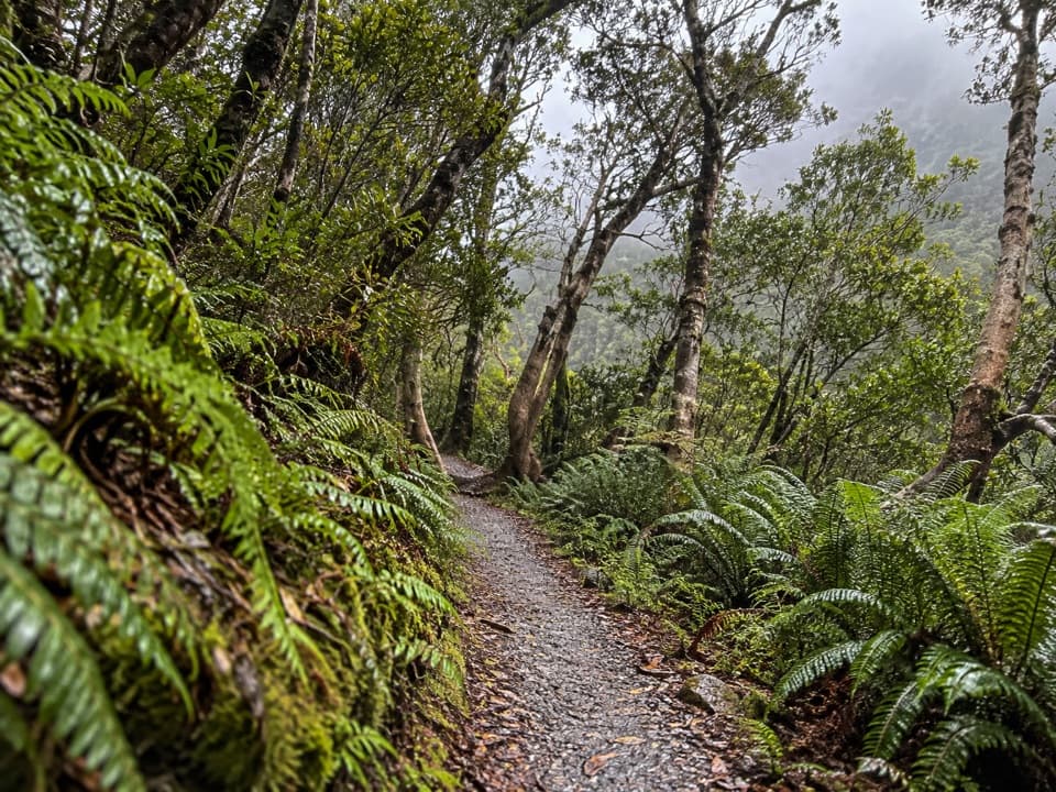 EasyBowen Bush Walk0.2 km · 10 min · 0.3 km awayA quick native-bush loop steps from the village.
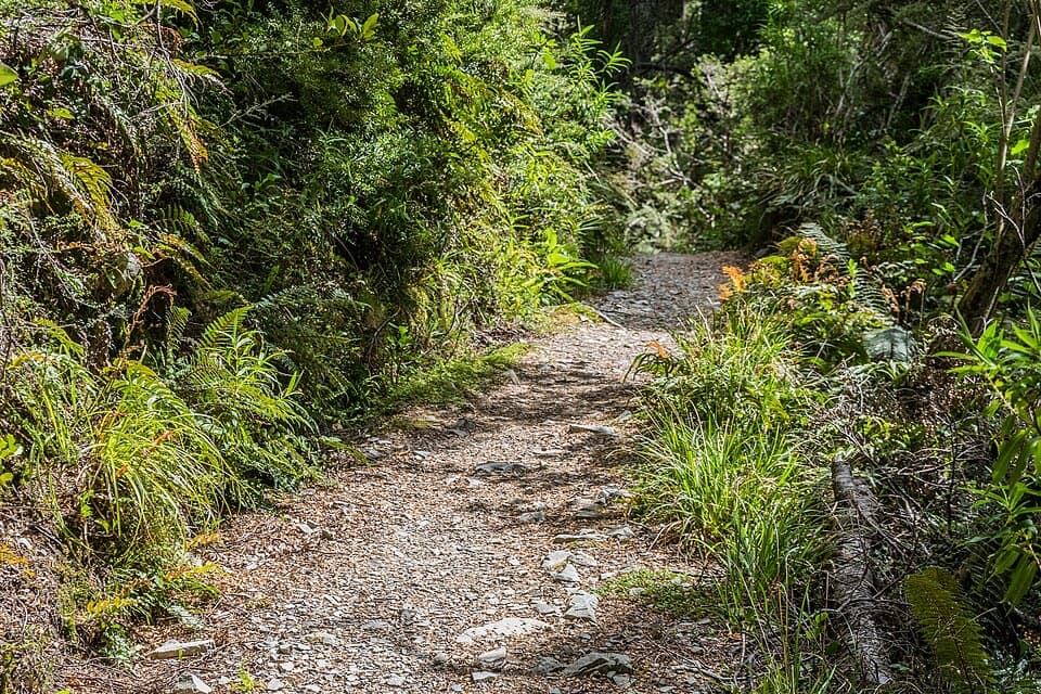 EasyGovernors Bush Walk1.6 km · 1 hr · 0.5 km awayA shaded beech climb that ends with an Aoraki view.
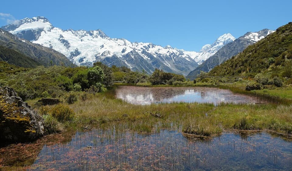 ModerateRed Tarns Track4 km · 2 hr · 0.5 km awayA steep stair climb ends at mountain tarns and Aoraki views.
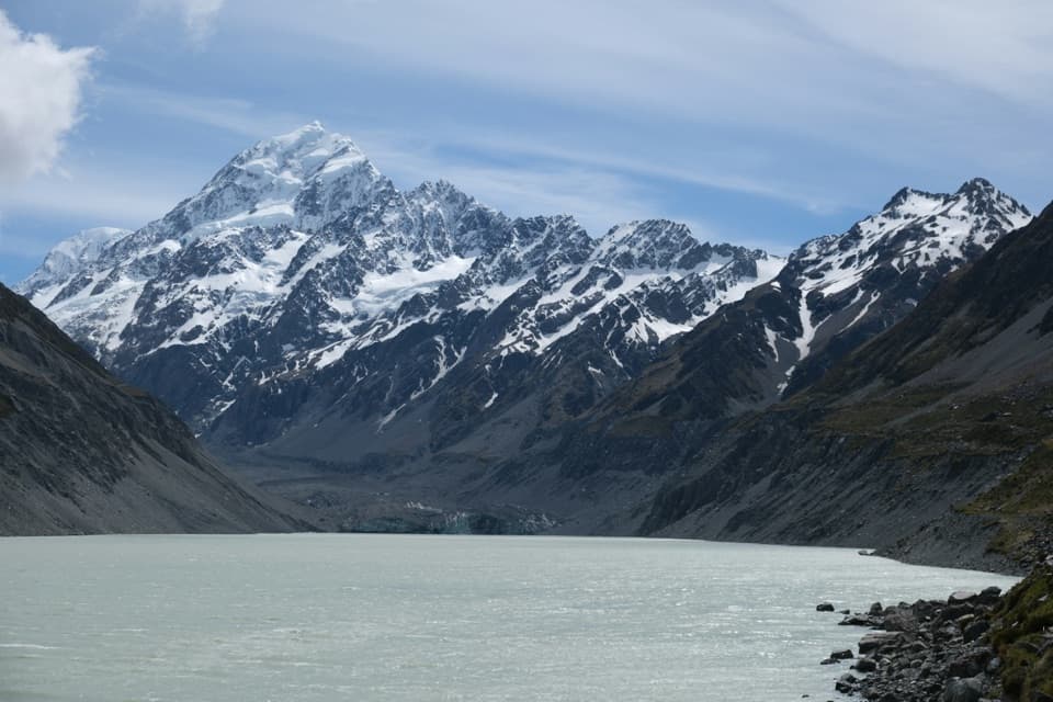 ModerateHooker Valley Track10 km · 3.5 hr · 1.6 km awayThree swing bridges lead to a glacier lake beneath Aoraki.
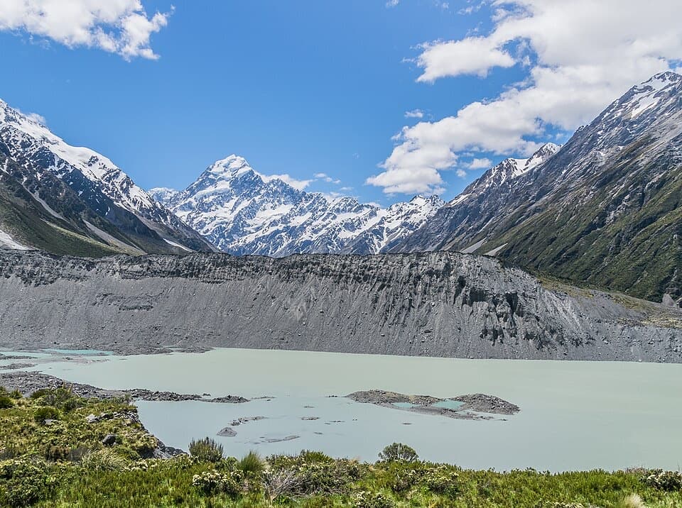 EasyKea Point Track3.1 km · 1.3 hr · 1.6 km awayA short climb to a deck above Mueller Lake and the moraine.
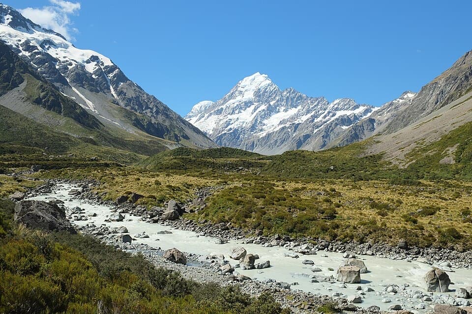 ModerateHooker Hut Track8.7 km · 4 hr · 1.6 km awayA restored 1910 mountaineering hut at the end of an alpine walk.
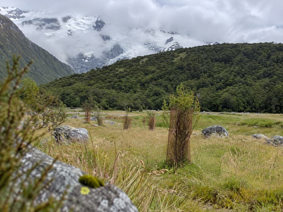 EasyAlps 2 Ocean Cycle Trail: White Horse Hill to Mount Cook Airport8 km · 2.3 hr · 1.6 km awayA gentle Tasman Valley descent, with the Alps behind you.
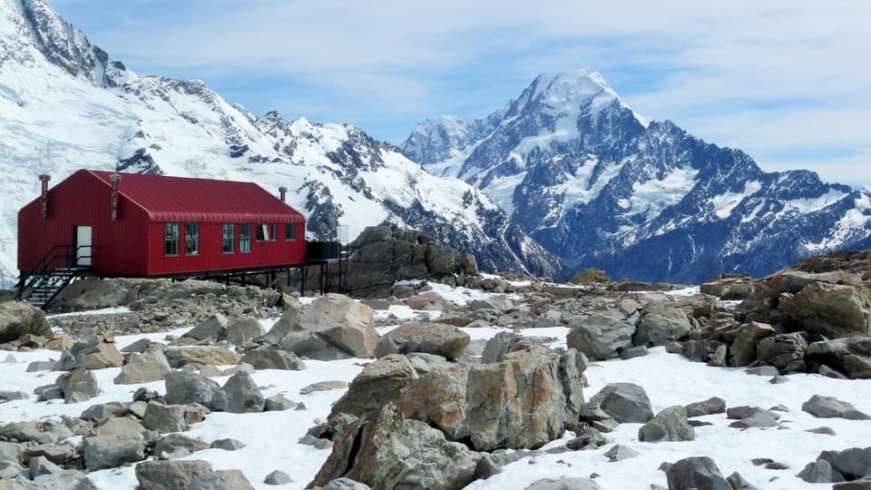 ChallengingMueller Hut Route10.4 km · 8 hr · 1.7 km awayA steep climb to a red hut above glaciers and ice cliffs.
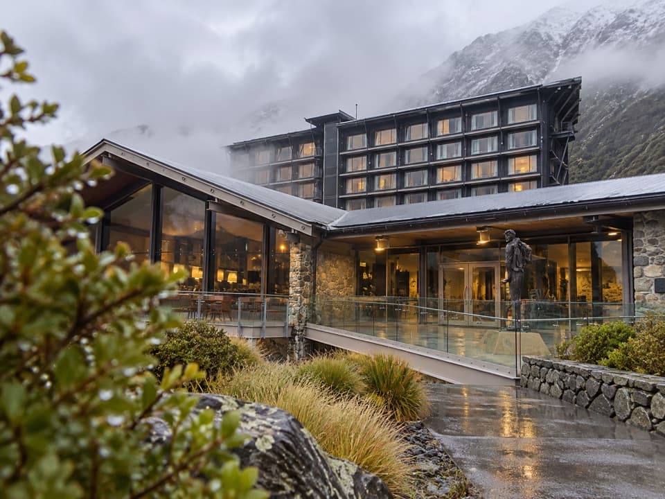 Lodging · 0.1 km awayThe Hermitage HotelA full-service base beneath Aoraki, with dining and alpine history.
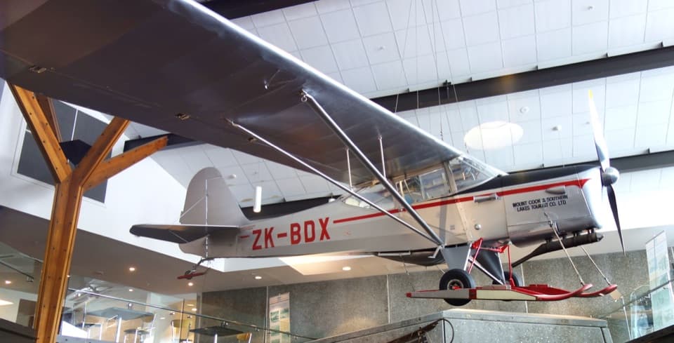 Sight · 0.1 km awaySir Edmund Hillary Alpine CentreReal expedition machinery makes Hillary's Aoraki story feel close.
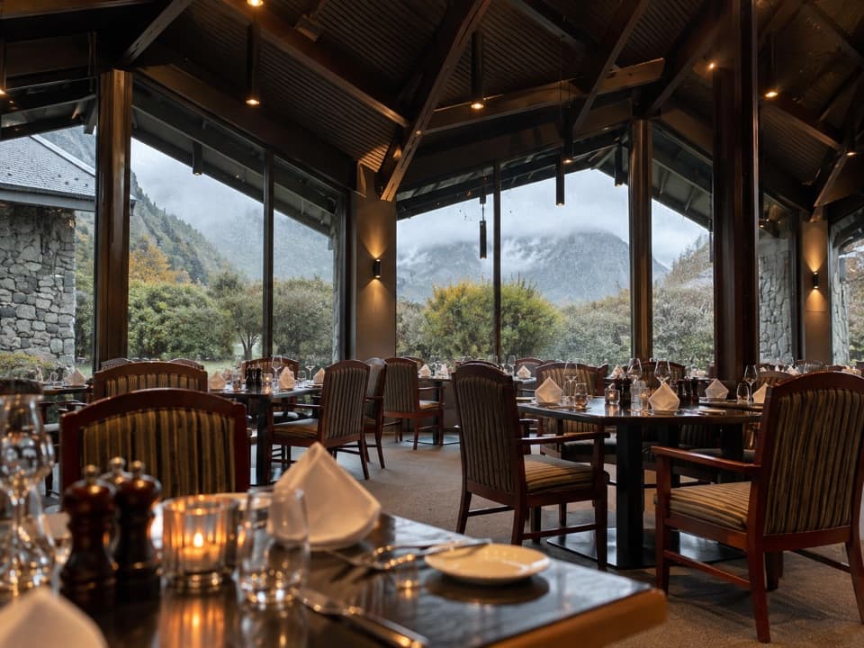 Restaurant · 0.2 km awayPanorama RoomA booked dinner with Aoraki framed in the dining-room windows.
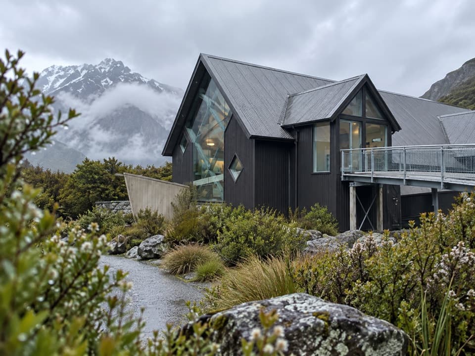 Visitor center · 0.2 km awayAoraki / Mount Cook National Park Visitor CentreA free alpine museum with a window facing Aoraki.
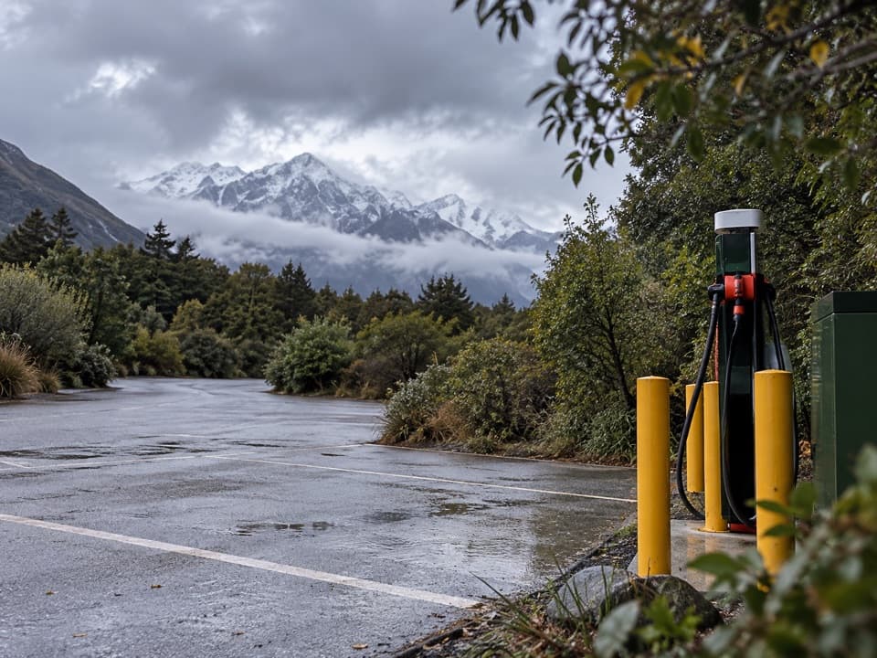 Gas station · 0.2 km awayChargeNet Aoraki / Mount CookVillage charger; check ChargeNet's live map before relying on it.
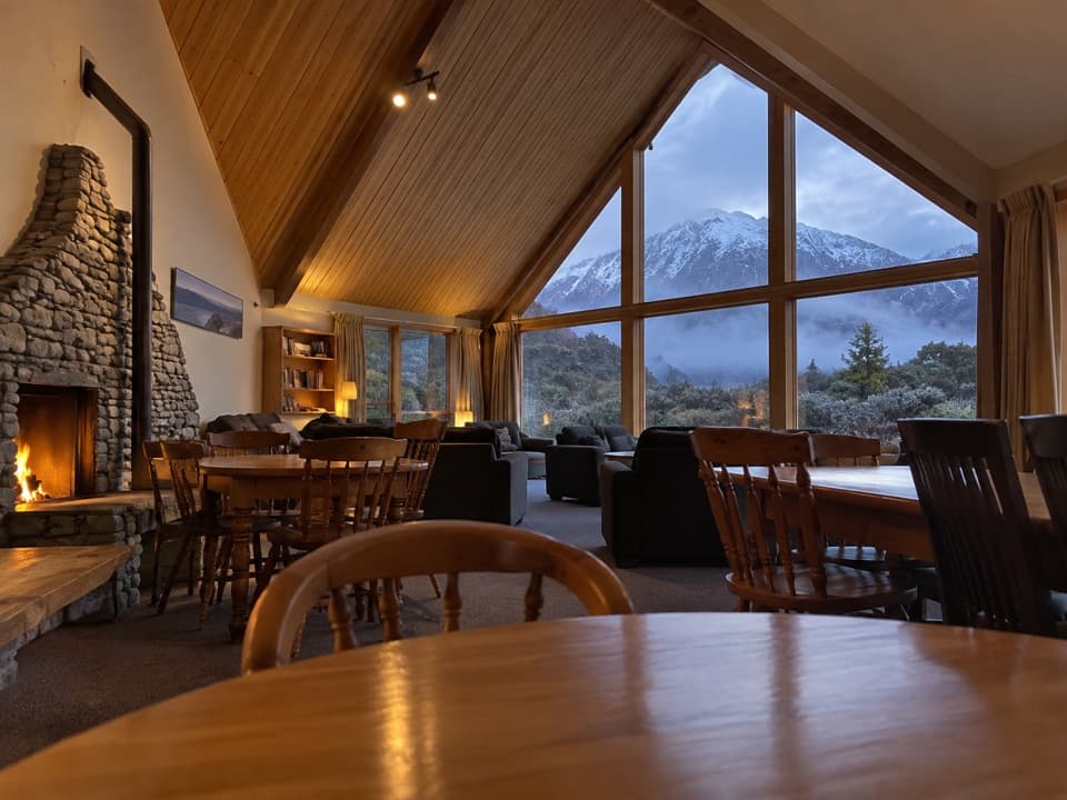 Lodging · 0.2 km awayAoraki Alpine LodgeA self-catering village base with a mountain-facing lounge.
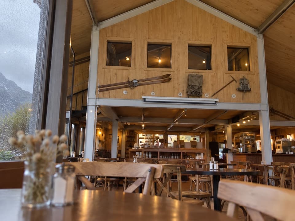 Restaurant · 0.3 km awayOld Mountaineers’ CaféA framed Aoraki view with mountain photos and a full café menu.
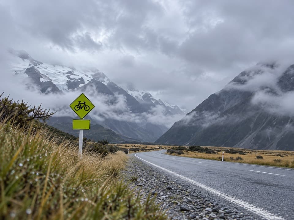 Gas station · 0.3 km awayMount Cook Village Petrol StationA useful top-up in the remote village before the long drive back.
Parkwolf’s Aoraki / Mount Cook ranking

The audio tour guide for the drive, plus offline maps, trails, and wildlife heatmaps for when the signal drops.