
Place · 1.1 mi away
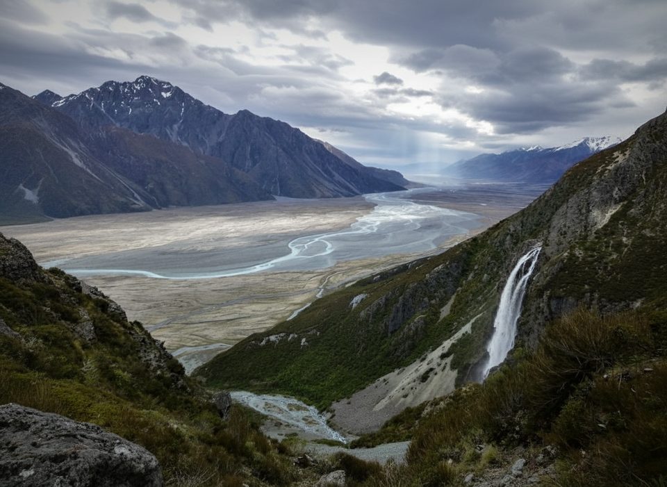
Wakefield Falls is a tall, multi‑tier waterfall that tumbles down the flanks of Mount Wakefield. Most people admire it right from Tasman Valley Road on the way to the Tasman/Blue Lakes car park, where the tiers present nicely across the valley. It’s a simple, rewarding photo stop that feels surprisingly wild.
From Mount Cook Village, head toward the Tasman/Blue Lakes car park via Tasman Valley Road. The falls are visible from the roadside; pull off only where it’s safe and fully out of the traffic lane. You don’t need to commit to a hike to enjoy the view.
A multi‑step drop of roughly 230 m pours down dark rock, especially striking after rain or warm summer afternoons when meltwater boosts the flow. From the road you’ll get the full, layered perspective; a longer lens helps compress the tiers for dramatic shots.
There’s no maintained track. A rough, unmarked route follows the stream and bouldery riverbed to the base—expect rock‑hopping, some minor scrambling, and slippery rocks. Treat it as off‑track travel and turn back if water rises or conditions feel sketchy.
Weather turns fast here. Rockfall, flooding, and seasonal avalanche hazards exist. In winter and spring, the gravel road can be rough or icy and higher‑clearance vehicles help. Check park alerts before you go; short early‑morning closures of Tasman Valley Road and the Hooker area are scheduled on select days between mid‑November 2025 and March 2026 for aerial pest‑control operations.
There are no toilets or shelters at the falls. The closest reliable facilities are at the Tasman Glacier/Blue Lakes car park. You’ll also find facilities at the Aoraki/Mount Cook Village day shelter and at White Horse Hill near the Hooker Valley end. Bring all the water and snacks you need and pack out your waste.
Keep an eye out for kea around the valleys and car parks; you may also encounter rock wren higher up, and the braided Tasman River supports critically endangered kakī/black stilt. Enjoy wildlife at a distance and secure all food.
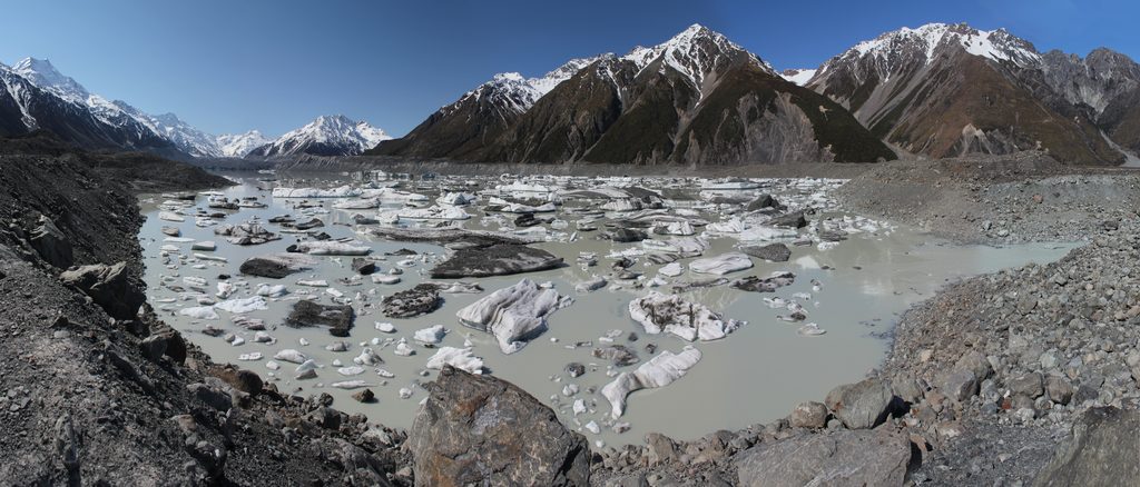
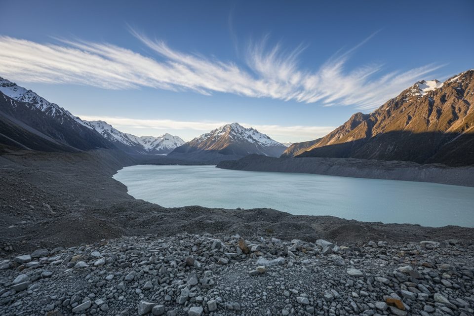
The valley’s bouldery riverbeds and steep faces come from hard greywacke and schist, lifted and fractured by the Southern Alps’ tectonics. Nearby Tasman Lake is a young proglacial lake formed by the rapid retreat of the Tasman Glacier, a reminder that this landscape is changing quickly.
Morning often gives the most flattering light from the road. For stronger flow, aim for the day after rain or warm summer afternoons. Overcast conditions reduce glare on wet rock. Drones require a park permit and are generally not approved here.
Place · 1.1 mi away
Place · 1.2 mi away
Place · 1.2 mi away
Place · 1.2 mi away
Easy · 0.9 mi away
Easy · 0.9 mi away
Challenging · 2.9 mi away
Challenging · 2.9 mi away

Parkwolf Tour Guide
