
Place · 0.3 mi away
Easy
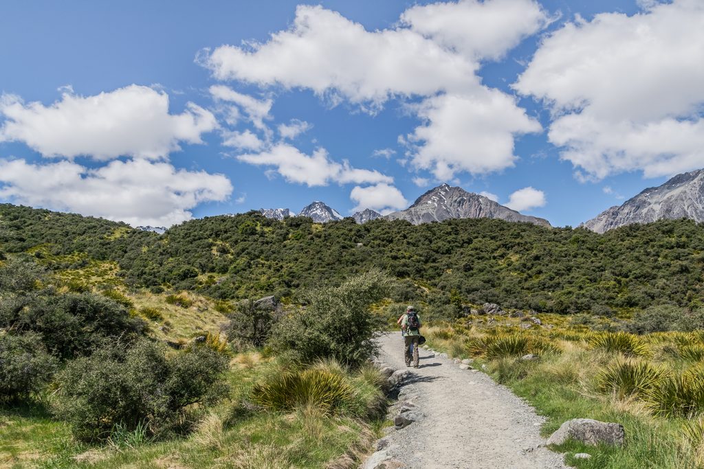
An easy out-and-back from the Blue Lakes/Tasman Glacier car park to Tasman Lake’s shoreline and jetty. Expect a well‑formed gravel path with some steps and short, steeper bits. Plan on about 2.8 km/1.75 miles total (round trip) and roughly 1 hour, with around 60 m of gentle ascent. There’s a signed viewpoint before the jetty, then the track continues to the docks where lake boat and kayak tours depart.
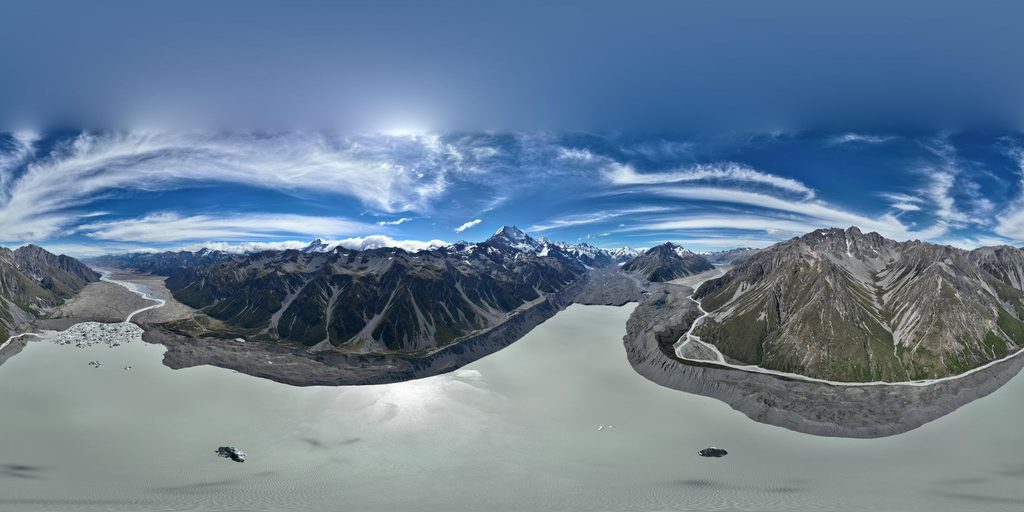
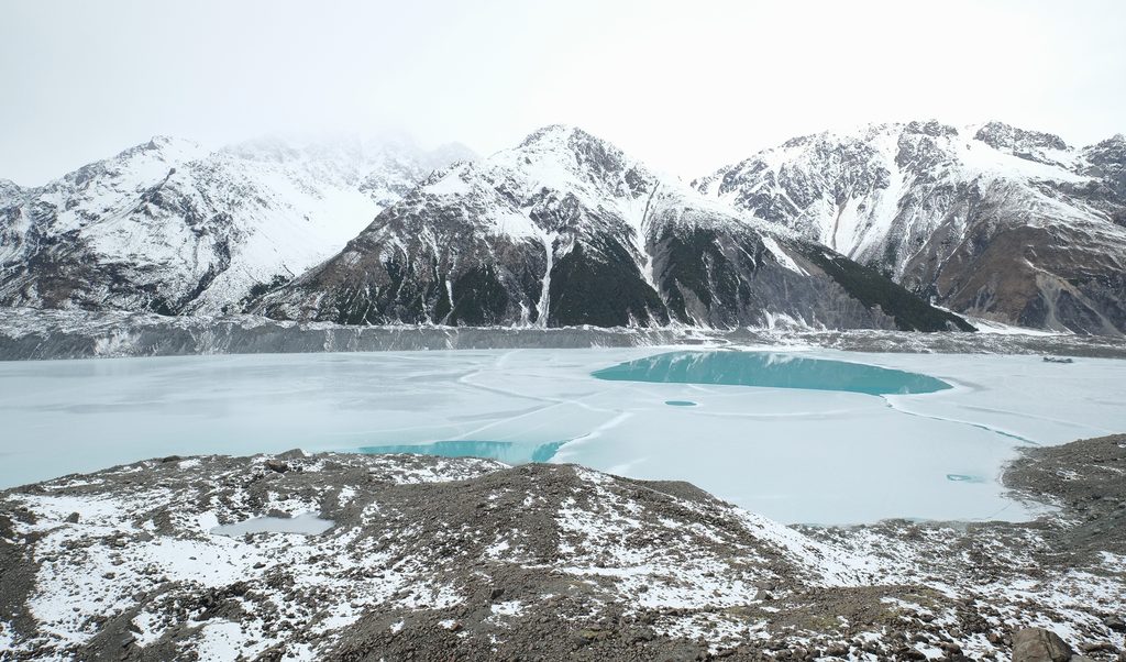
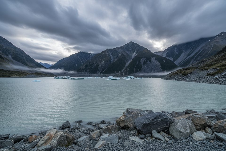
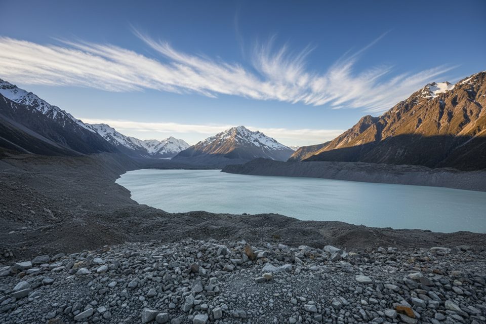
This track brings you to the terminal lake of Haupapa/Tasman Glacier—often dotted with floating ice in summer and sometimes freezing in winter. Views here are lower‑angle than the nearby stair climb to the Glacier Viewpoint, but you’re right at water level for close looks at the milky, glacier‑fed lake and its moraine walls. A short spur also drops toward the Tasman River outlet for another angle. Keep an eye out for classic alpine plant succession among the rock and snow‑tussock flats.
If you’ve already scouted from the Tasman Glacier View Track and see icebergs near the jetty, this one is a smart add. Otherwise, the scenery is more muted than other headliners in the park—Hooker Valley generally delivers bigger drama. It’s still a pleasant, quick walk and the required approach if you’ve booked a lake tour.
Start at the Blue Lakes/Tasman Glacier car park at the end of Tasman Valley Road (about 7 km from the SH80 turn‑off near the village). Toilets and a shelter are at the car park; none on the track or at the lakeshore. Signage is clear for the lake viewpoint, jetty, and the Tasman River spur.
Open year‑round. Summer often brings floating icebergs; winter conditions can freeze the lake and occasionally close the access road after snow. Go early or late for softer light and fewer people around tour departure times; sunrise can be especially photogenic on calm mornings.
Do not swim in Tasman Lake (near‑freezing water); do not step onto frozen lake surfaces or climb on icebergs—both are unstable. Weather changes fast in this alpine basin—pack layers, sun protection, and sturdy footwear. Stay on formed tracks and follow Leave No Trace. No dogs on these tracks. Recreational drones are not allowed; flying requires a permit.
Blue Lakes/Tasman Glacier car park at the end of Tasman Valley Road; toilets and a shelter at the lot.
Glacial water is near freezing—no swimming. Do not walk on lake ice or climb icebergs. Rapid alpine weather shifts; carry layers and sun protection. No dogs. Drones require a permit.
Place · 0.3 mi away
Place · 0.3 mi away
Place · 0.3 mi away
Place · 0.5 mi away
Easy · 0 mi away
Challenging · 3.8 mi away
Challenging · 3.8 mi away
Challenging · 3.8 mi away

Parkwolf Tour Guide
