Parking
Use the paid White Horse Hill Car Park. The signed access for Sealy Tarns and Mueller Hut starts nearby.
#2 of 15 trails in Aoraki / Mount Cook
Aoraki / Mount Cook National Park, SI
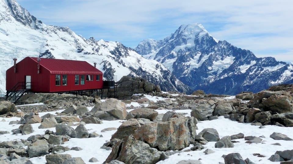
A steep climb to a red hut above glaciers and ice cliffs.
Overview
Map & elevation
Plan your hike

The highest, rockiest slopes around here are a summer buffet for grizzly bears.
Aoraki / Mount Cook Tour Guide
Parkwolf is a GPS audio tour guide for Aoraki / Mount Cook National Park. As you drive, it chimes in with what’s ahead: hidden gems, upcoming stops, history, geology, and wildlife, right through your car’s speakers.
Recorded for this trailhead
White Horse Hill and Kea Point“White Horse Hill is coming up, and Kea Point is my pick for a gentler mountain walk from here. Allow about an hour return on gravel with some loose stones.”
Plays as you drive up to this trailhead in the Parkwolf Aoraki / Mount Cook Tour Guide.
More stories near here in the app
“Fantastic app with many points of information… It’s great to just turn on while you’re driving and it gives you an audio tour of the national Park. We love it!!!!”


Trail guide
Mueller Hut Route is a steep out-and-back from White Horse Hill Car Park to a high alpine hut, climbing by way of Sealy Tarns. The published distance is 5.2 km each way, or 10.4 km for the return walk. The mapped line from the car park to the hut measures about 4.5 km one way, roughly 0.7 km shorter; the reason for the difference is unclear, so plan with the longer figure. The hut is the turnaround here. Mount Ollivier is a separate scramble beyond it, not part of this route. Expect about seven hours of walking, plus stops, for a long day with roughly 1,000 m of climbing. This is a demanding choice even in summer.
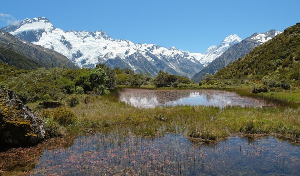
From White Horse Hill, follow the shared approach toward the Sealy Tarns turnoff. The climb then steepens into a long zigzag staircase of about 2,200 steps. The freshwater tarns are a good place to rest and decide whether the weather, daylight and energy left in your group make sense for the alpine section. Beyond the tarns, the route is not a maintained track and there is no easier parallel way to the hut. Turning back here is a complete shorter outing, with fine views across Hooker Valley toward Aoraki.
Above the tarns, orange poles spaced roughly 200 m apart cross tussock, alpine scrub, herb fields and a broad rock field. Keep the next marker in sight, especially when cloud or poor light makes the line harder to read. A loose scree slope rises about 50 m to the skyline ridge; it can hold steep snow. Go slowly and stay in control on the way down. Once across the scree, turn south with the markers through the basin toward the hut. The ridge traverse takes about 20 minutes. On the return, retrace the same line and use the marked descent point rather than cutting straight down or wandering along the ridge.
The skyline opens onto Mueller Glacier, smaller hanging glaciers and Mount Sefton’s ice shelf. From the hut, the panorama takes in glaciers, sheer rock faces and the high peaks around Aoraki. If the view is clear, the ridge is a striking place to compose a photograph with the glacier below; clouds can hide the mountains, so treat the scenery as a bonus rather than a promise.
Mueller Hut has 28 bunks, mattresses, gas cookers, lighting, non-flush toilets and tap water that has not been treated. Bring food and a way to boil or otherwise treat water. An advance booking is required during the summer hut season; check its dates and current booking rules before planning to stay overnight. Anyone starting this route must register their intentions at the Aoraki/Mount Cook Visitor Centre on the day, including day walkers. White Horse Hill parking is paid.
The changing plant communities are part of the route’s appeal as it climbs from the valley through alpine fields and onto rocky ground. Mount Cook lilies flower from late November, with gentians appearing from January. Graham’s buttercup can flower while snow remains, and South Island edelweiss grows among rocky outcrops higher up. These are small plants in fragile ground, so keep to the marked line.
The present hut opened in 2003, and sits just below Mount Ollivier, the first mountain Sir Edmund Hillary climbed. The summit is reached by a separate, steep rock scramble of about 30 minutes from the hut. It is not needed to reach Mueller Hut; the ridge beyond the summit cairn is very exposed and should not be treated as a casual continuation of this walk.
Snow and ice can occur from March through November. In winter, and sometimes in spring and autumn, this becomes mountaineering terrain: experience with an ice axe, crampons, route finding and avalanche rescue equipment is needed. In summer it still calls for tramping experience, a sound forecast and enough daylight for the full return. No dogs are allowed. Check local conditions before setting out and turn back if the weather or group changes.
Wildlife
 139 sightingsKeaMost seen around 9 AMSighting map
 74 sightingsRockwrenMost seen around 10 AMSighting map
 46 sightingsNew Zealand FalconMost seen around 10 AMSighting map
 15 sightingsKererūMost seen around 9 AMSighting map
 16 sightingsBellbirdMost seen around 7 AMSighting map
 33 sightingsBlack-fronted TernMost seen around 5 PMSighting map
Sighting maps show where each species has been reported across Aoraki / Mount Cook. Wildlife moves, so no sighting is guaranteed.
Keep exploring
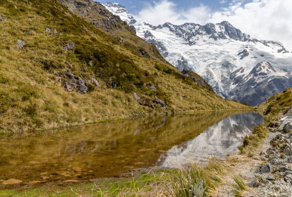 ChallengingSealy Tarns Track5.3 km · 3.5 hr · At the trailheadA steep stair climb to small tarns and a wide alpine panorama
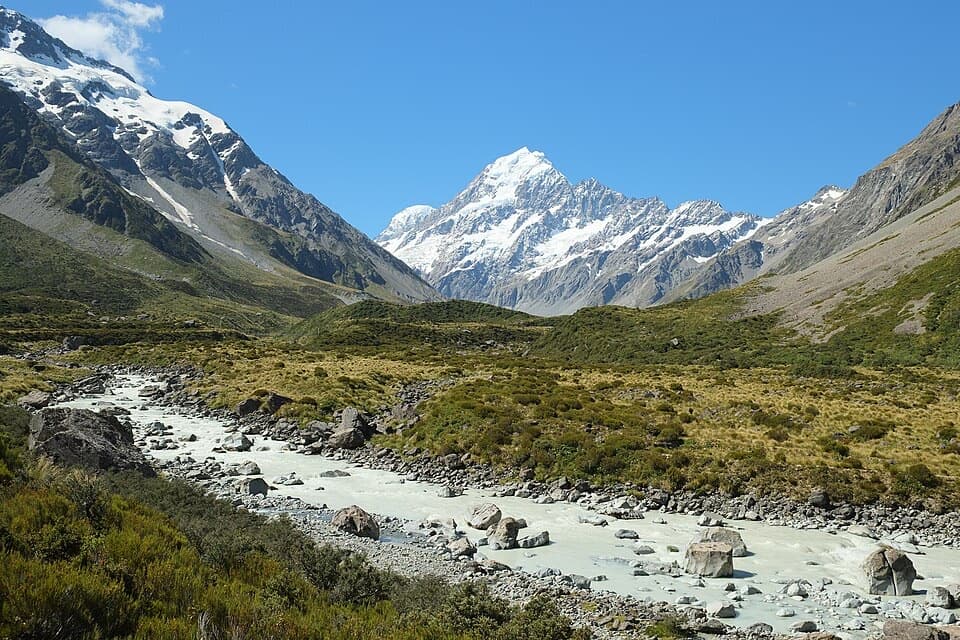 ModerateHooker Hut Track8.7 km · 4 hr · 0.1 km awayA restored 1910 mountaineering hut at the end of an alpine walk.
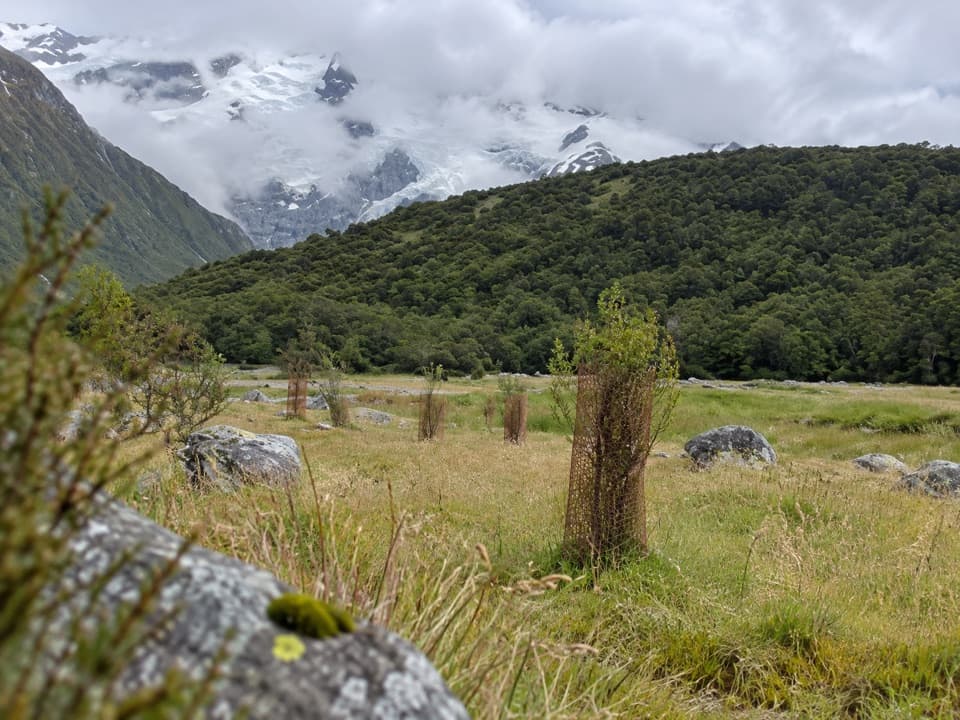 EasyAlps 2 Ocean Cycle Trail: White Horse Hill to Mount Cook Airport8 km · 2.3 hr · 0.1 km awayA gentle Tasman Valley descent, with the Alps behind you.
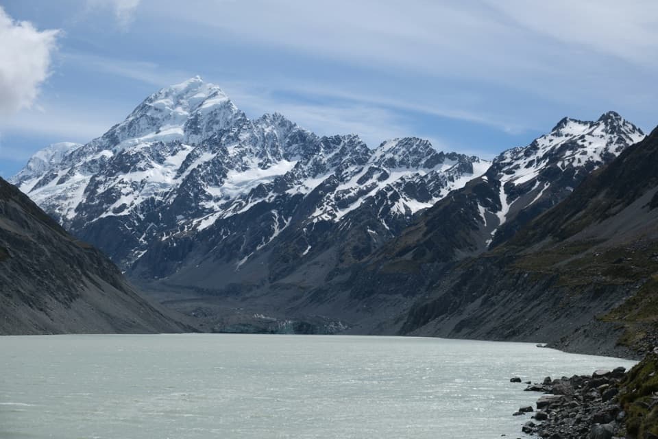 ModerateHooker Valley Track10 km · 3.5 hr · 0.1 km awayThree swing bridges lead to a glacier lake beneath Aoraki.
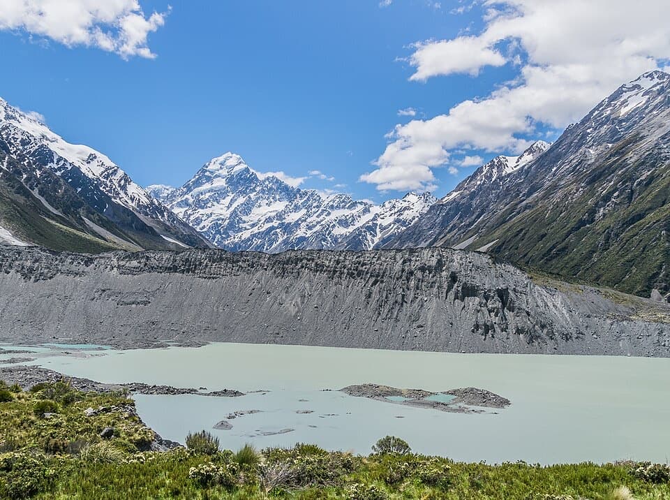 EasyKea Point Track3.1 km · 1.3 hr · 0.1 km awayA short climb to a deck above Mueller Lake and the moraine.
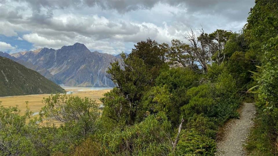 EasyGlencoe Walk0.6 km · 30 min · 1.7 km awayA short bush climb for a village, glacier and Aoraki view.
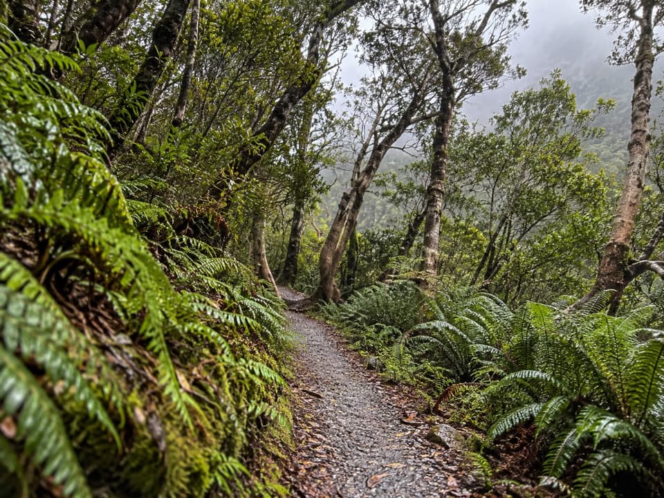 EasyBowen Bush Walk0.2 km · 10 min · 1.9 km awayA quick native-bush loop steps from the village.
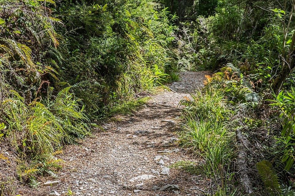 EasyGovernors Bush Walk1.6 km · 1 hr · 2.1 km awayA shaded beech climb that ends with an Aoraki view.
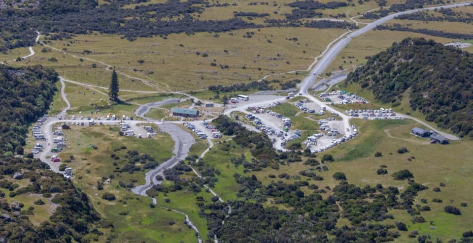 Campground · At the trailheadWhite Horse Hill CampsiteCamp under Mt Sefton, with valley walks right nearby.
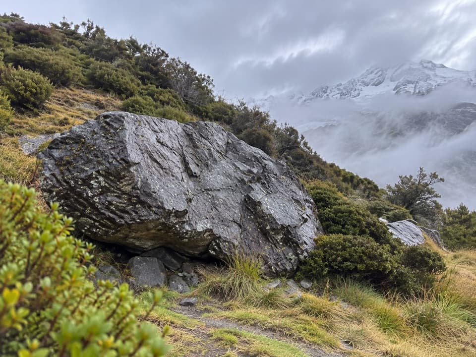 Sight · 0.2 km awayFreda’s RockA quick detour with a story from Aoraki’s climbing history.
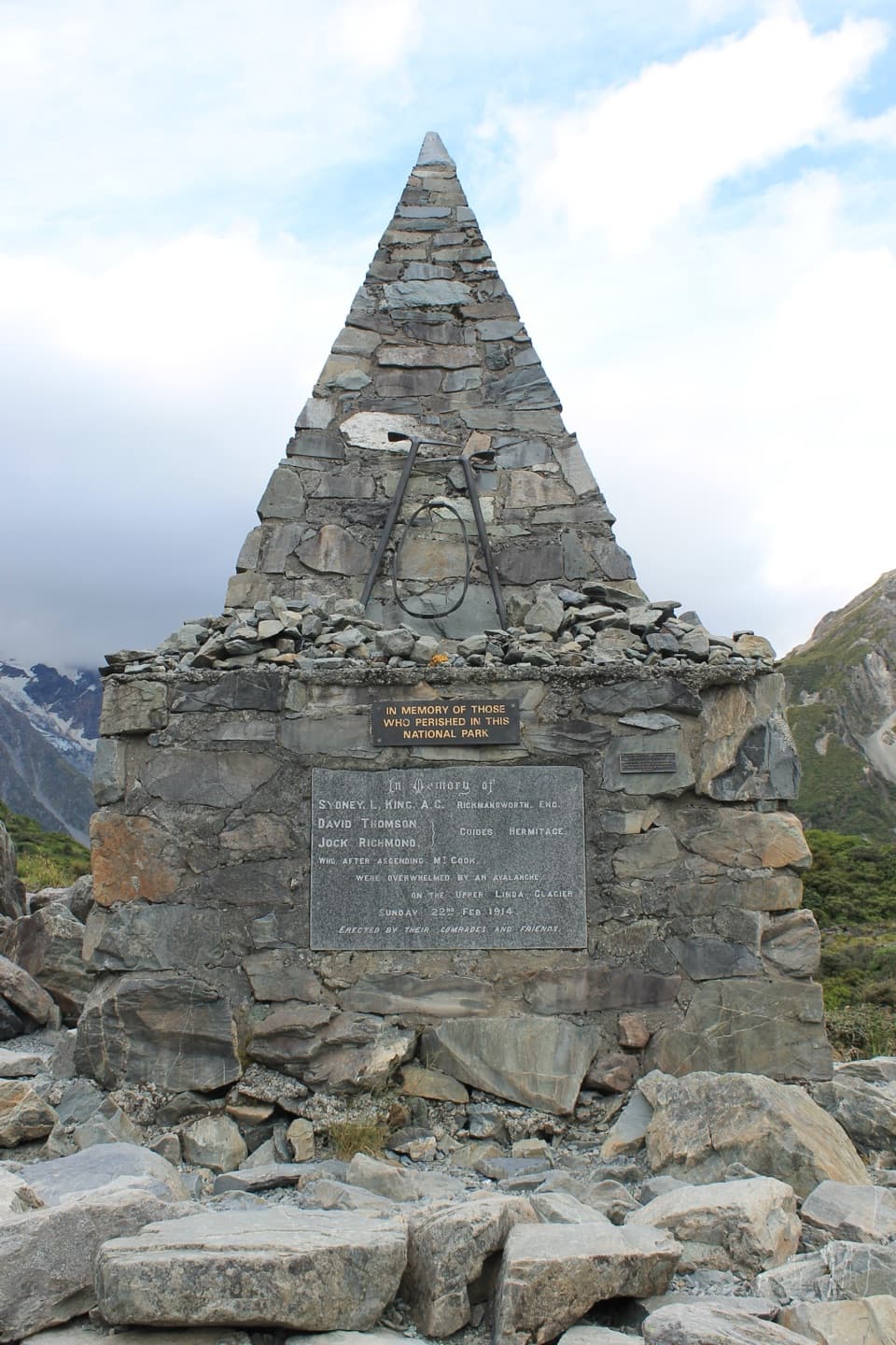 Sight · 0.4 km awayAlpine MemorialA cairn remembers the climbers lost on the Linda Glacier.
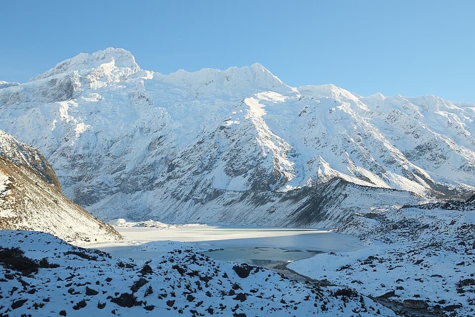 Sight · 0.9 km awayMueller LookoutA quick lake-and-glacier view before the first swing bridge.
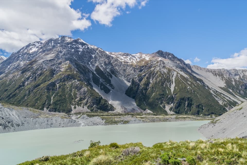 Sight · 1.1 km awayKea PointA short alpine walk to the Mueller Glacier lake lookout.
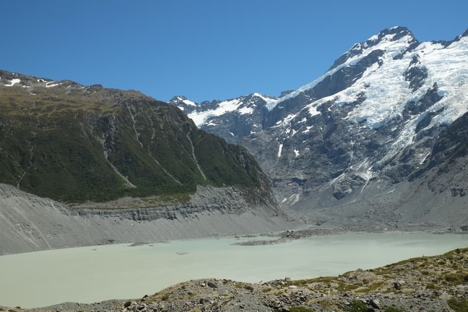 Sight · 1.3 km awayKakīroa / Mount Sefton View LookoutMueller Lake, its glacier and Mount Sefton meet in one view.
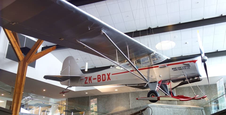 Sight · 1.6 km awaySir Edmund Hillary Alpine CentreReal expedition machinery makes Hillary's Aoraki story feel close.
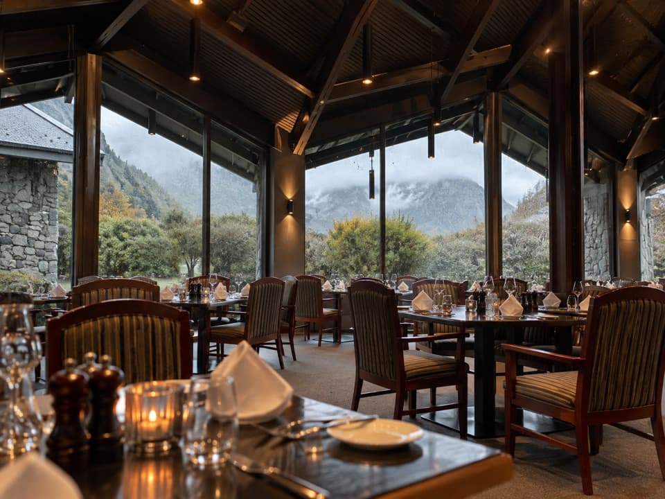 Restaurant · 1.6 km awayPanorama RoomA booked dinner with Aoraki framed in the dining-room windows.
Parkwolf’s Aoraki / Mount Cook ranking

The audio tour guide for the drive, plus offline maps, trails, and wildlife heatmaps for when the signal drops.