
Place · 0 mi away
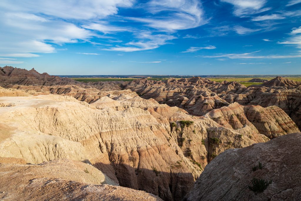
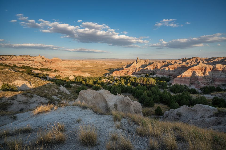
The Badlands Wall is the park’s defining skyline—a long, jagged escarpment carved by the White River that separates the lower prairie to the south from the upper prairie to the north. It’s the backdrop for most of the North Unit’s classic views and runs alongside SD Hwy 240, so you’ll be staring at it (and stopping for it) most of the drive.
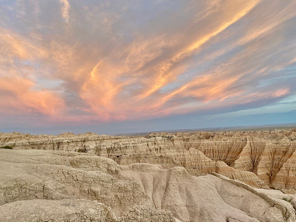
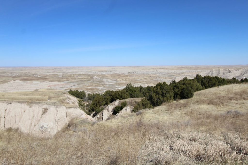
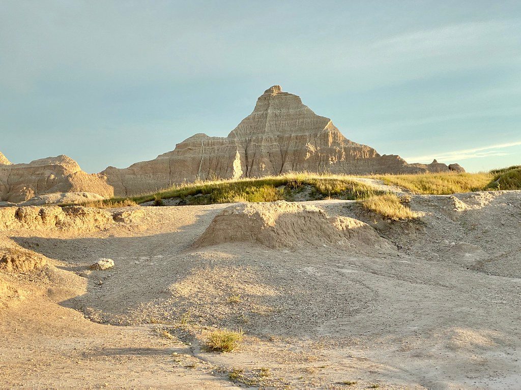
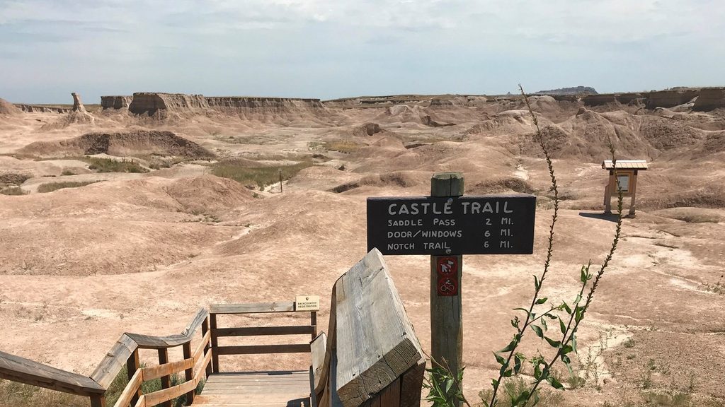
Expect sweeping panoramas of layered rock—spires, fins, and bowls stacked in subtle reds, tans, and grays. Light is everything here: sunrise and sunset make the layers glow, and post‑storm skies can turn the scene into high drama. From the Wall you’ll look out over vast prairie and a maze of eroded formations below.
This isn’t a static cliff. The Wall is eroding at nearly an inch per year—blazing fast in geologic time—so edges are crumbly and the landscape subtly reshapes itself after every season. Those colorful strata are a time capsule of uplift, deposition, and erosion across millions of years, in a region renowned for fossils.
The simplest way is to drive the Badlands Loop Road (SD Hwy 240) and pull into the signed overlooks. Short walks lead to premier vantages of the Wall. The formation itself doesn’t have facilities; if you want services, use nearby developed viewpoints (such as the Window area) that offer restrooms, parking, a picnic shelter, and interpretive information.
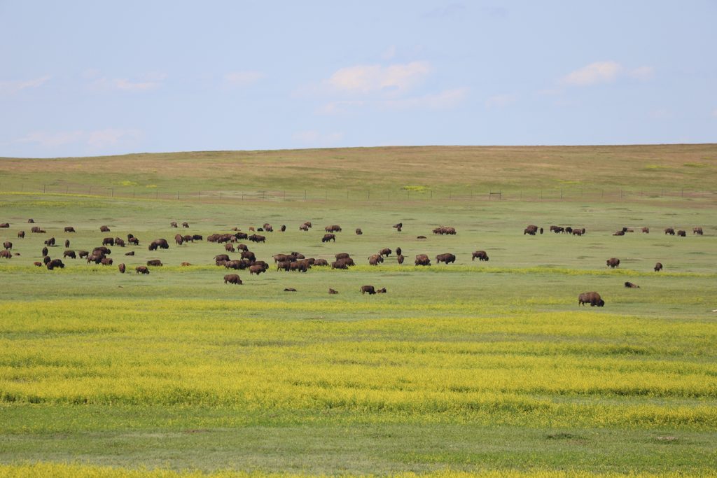
This grassland-and-badlands edge is home to prairie icons: bison, bighorn sheep, and prairie dogs are all part of the broader scene, with raptors riding the wind. Keep a respectful distance and bring binoculars—wildlife often dots the slopes and prairie below the rim.
Erosion makes the edges unstable. Stay on marked paths and designated viewpoints and keep back from drop‑offs. Don’t count on natural water—sediment makes stream water undrinkable—so bring your own and be ready for sun, wind, and fast‑changing weather.
Go early or late for kinder light and fewer people. Sunrise and sunset are the sweet spots; if a storm rolls through, the clearing light can be phenomenal. Midday is harsh for photos and can feel busier in peak season.
Place · 0 mi away
Place · 0.4 mi away
Place · 0.8 mi away
Place · 1 mi away
Moderate · 2.9 mi away
Challenging · 9.2 mi away
Easy · 13.3 mi away
Moderate · 13.3 mi away

Parkwolf Tour Guide
