1 active Badlands alert
- ClosureNotch Trail closed for ladder repairsNotch Trail and all areas within 100 feet of the designated trail are closed; do not enter the closure area.Official details
Scenic pullout · Badlands National Park
A roadside view with a possible ancient butchering story.
Overview
Map
Plan your stop

The highest, rockiest slopes around here are a summer buffet for grizzly bears.
Badlands Tour Guide
Parkwolf is a GPS audio tour guide for Badlands National Park. As you drive, it chimes in with what’s ahead: hidden gems, upcoming stops, history, geology, and wildlife, right through your car’s speakers.
See the Badlands audio tourRecorded for this place
Ancient Hunters Overlook“Ancient Hunters Overlook is coming up, a small pull-off with an archaeological story.”
Plays as you drive up to Ancient Hunters Overlook in the Parkwolf Badlands Tour Guide.
More stories near here in the app
“We recently toured Badlands, Custer State Park, Mount Rushmore and more! We learned so much from this app as we toured each of these sites. The audio tours are worth the money.”


Guide
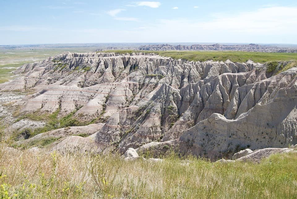
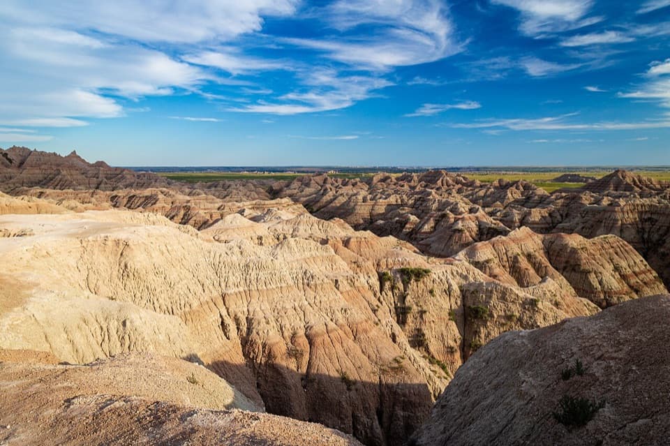
Ancient Hunters Overlook is a roadside pull-off on SD-240, with a broad view across the Badlands and an exhibit about archaeological finds. It makes sense as a brief pause on the drive; the view is pleasant, while the sign gives the stop its extra layer.
Pottery fragments, arrowheads, worked quartz, a rabbit jaw, bird bones mixed with charcoal, and bison bones have been found in the area. The arrowheads and bison remains suggest this may have been an ancient butchering place, but that interpretation is still tentative. The finds don't establish a single purpose or a precise date.
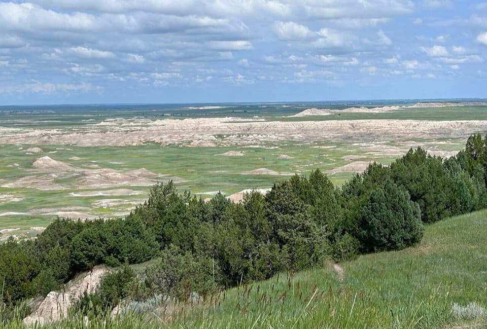
The overlook faces the rugged divide between the Conota Creek basin to the south and the Bad River valley to the north and east. A geologic slump holds a little more moisture, so trees grow in abundance there. That darker, greener fold breaks up the pale ridges and open grassland in the view.
Bighorn sheep and other wildlife are sometimes reported on the slopes and across the road. Pronghorn, deer, coyotes, and a golden eagle also turn up in visitor accounts. Keep an eye out if you stop, but don't plan around a sighting.
You reach it directly from SD-240. Parking and an interpretive exhibit serve the stop, with room listed for both cars and buses or RVs. For a photo, frame the dark tree-lined slump against the pale ridges and open basin; it shows what makes this overlook different from a plain roadside panorama.
Wildlife
 760 sightingsBisonMost seen around 6 PMSighting map
 1,061 sightingsBighorn SheepMost seen around 6 AMSighting map
 906 sightingsPrairie DogMost seen around 5 PMSighting map
 333 sightingsPronghornMost seen around 6 AMSighting map
 304 sightingsMule DeerMost seen around 7 PMSighting map
 87 sightingsCoyoteMost seen around 7 PMSighting map
Sighting maps show where each species has been reported across Badlands. Wildlife moves, so no sighting is guaranteed.
Keep exploring
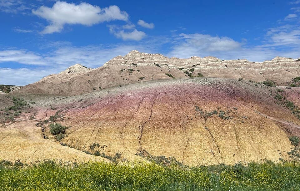 EasyYellow Mounds Overlook Trail0.1 mi · 18 min · 2.3 mi awayWalk a short path through yellow, purple, gray and red striped hills.
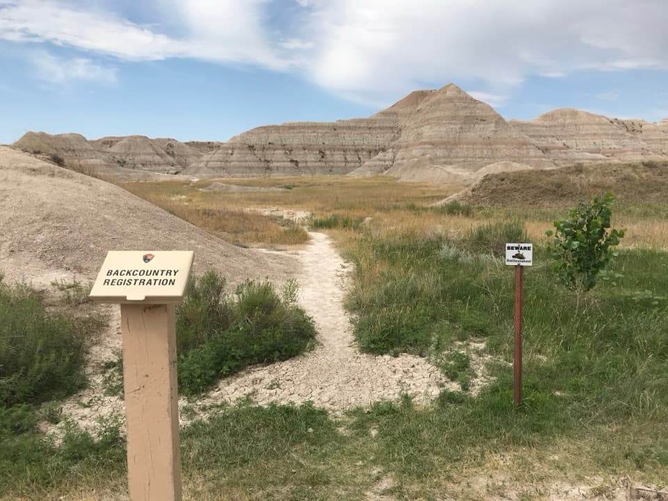 ModerateDeer Haven Trail6 mi · 4.5 hr · 2.5 mi awaySix miles round trip on unmarked paths to a green juniper basin.
 Sight · 0.4 mi awayPinnacles OverlookSage Creek's jagged skyline earns a sunset stop.
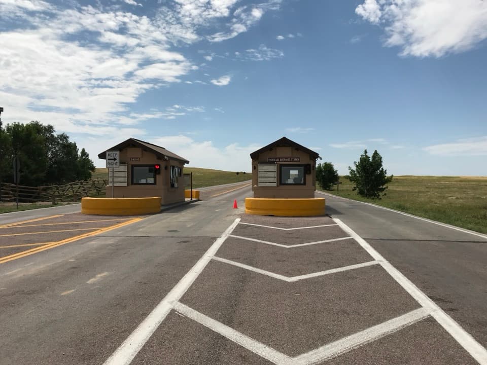 Entrance station · 1.2 mi awayPinnacles Entrance StationSort out your pass and map at the western gate.
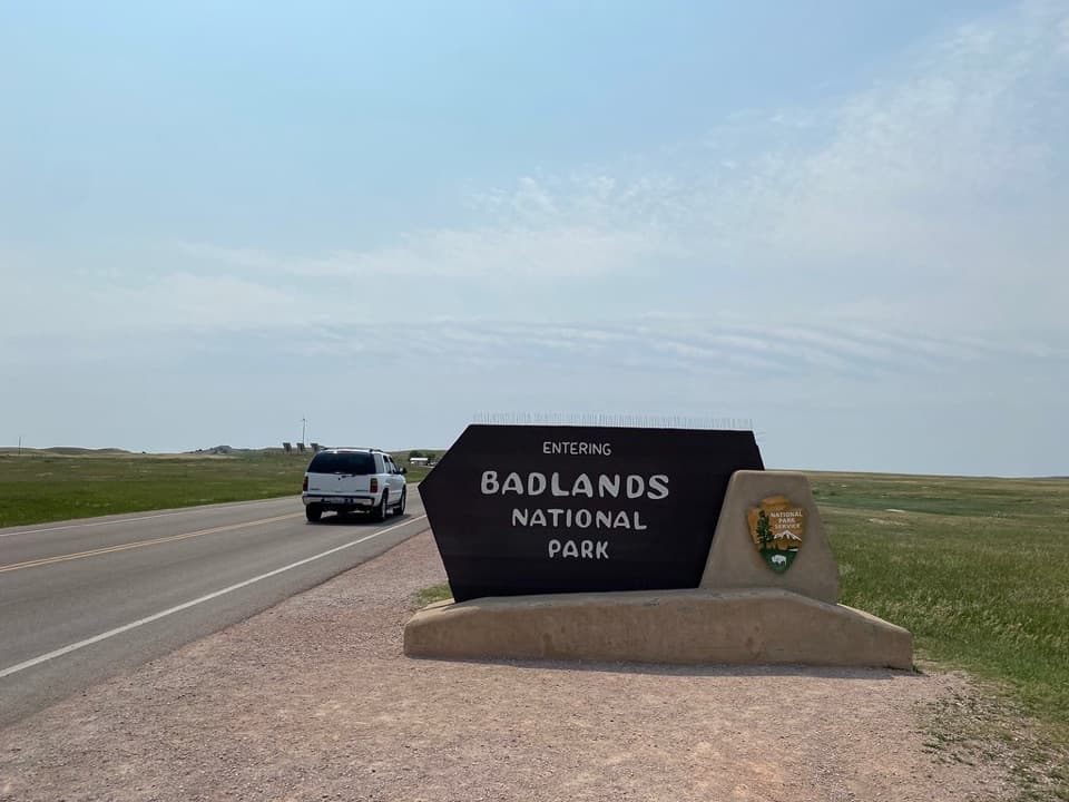 Sight · 1.4 mi awayPinnacles Entrance SignA quick arrival photo before the Pinnacles fee station.
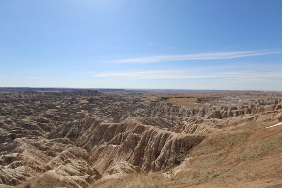 Sight · 1.6 mi awayHay Butte OverlookA quick Sage Creek panorama with an unexpected hay-cutting story.
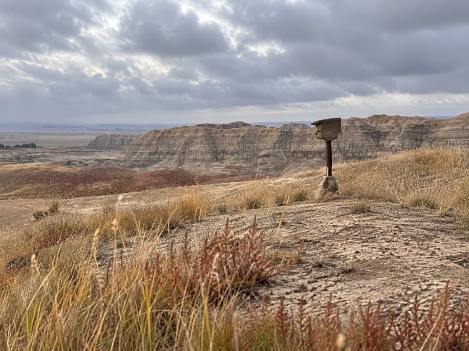 Sight · 2.1 mi awayErosion MarkersSurvey markers make slow erosion visible on a clay slope.
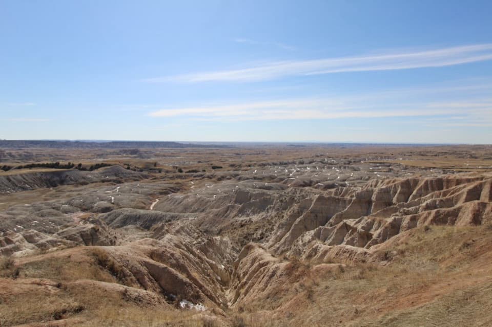 Sight · 2.2 mi awayBadlands Wilderness OverlookA quick stop where eroded formations give way to prairie.
 Sight · 2.3 mi awayYellow Mounds OverlookA quick roadside stop for colors you won't see at most overlooks.
 Sight · 2.5 mi awayConata Basin OverlookTwo ancient soils turn a quick roadside stop into a geologic lesson.
Parkwolf’s Badlands ranking

The audio tour guide for the drive, plus offline maps, trails, and wildlife heatmaps for when the signal drops.