1 active Badlands alert
- ClosureNotch Trail closed for ladder repairsNotch Trail and all areas within 100 feet of the designated trail are closed; do not enter the closure area.Official details

Sight · Badlands National Park
A breezy prairie pause between the park’s sculpted rock views.
Overview
Map
Plan your stop

The highest, rockiest slopes around here are a summer buffet for grizzly bears.
Badlands Tour Guide
Parkwolf is a GPS audio tour guide for Badlands National Park. As you drive, it chimes in with what’s ahead: hidden gems, upcoming stops, history, geology, and wildlife, right through your car’s speakers.
See the Badlands audio tourRecorded for this place
Prairie Wind Overlook“You're coming up on Prairie Wind Overlook, where a short boardwalk takes you out into the grassland. Stop here if you'd like to understand the prairie as well as the rock formations.”
Plays as you drive up to Prairie Wind Overlook in the Parkwolf Badlands Tour Guide.
More stories near here in the app
“We recently toured Badlands, Custer State Park, Mount Rushmore and more! We learned so much from this app as we toured each of these sites. The audio tours are worth the money.”


Guide
Prairie Wind Overlook is a roadside viewpoint on SD-240, where a short boardwalk reaches out into Badlands National Park’s mixed-grass prairie. It’s a low-key change from the park’s sculpted rock formations. Keep it in the drive if you want the grassland story too; if you’re short on time and mainly want dramatic ridges, it’s an easy one to skip.
The boardwalk leads to an open view across prairie rather than a rock wall or canyon. Try a frame from the boardwalk entrance: its rails make a foreground line into the grasses and wide horizon. The site is listed as accessible, with auto and bus/RV parking and interpretive exhibits. Its exact boardwalk length and surface details aren’t published, so check those details if you need specific mobility information.
Mixed-grass prairie sits between eastern tallgrass and western shortgrass. Grasses here can range from ankle to waist high. Badlands has more than 400 plant species; western wheatgrass is the park’s most common grass and grows one to three feet tall. The semi-arid, windy setting favors grasses, while junipers and cottonwoods grow in drainages where water gathers.
Great Plains grasslands were divided and converted as settlement expanded. The 1862 Homestead Acts encouraged settlement across the grasslands, and the 1887 Dawes Act reassigned more than 90 million acres of tribal land for agriculture and ranching. Park managers now use prescribed burns and herbicide treatments to manage invasive plants.
Wildlife
 760 sightingsBisonMost seen around 6 PMSighting map
 1,061 sightingsBighorn SheepMost seen around 6 AMSighting map
 906 sightingsPrairie DogMost seen around 5 PMSighting map
 333 sightingsPronghornMost seen around 6 AMSighting map
 304 sightingsMule DeerMost seen around 7 PMSighting map
 87 sightingsCoyoteMost seen around 7 PMSighting map
Sighting maps show where each species has been reported across Badlands. Wildlife moves, so no sighting is guaranteed.
Keep exploring
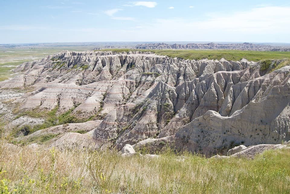 Sight · 1.4 mi awayPanorama Point OverlookA wide look across eroded ridges toward the White River Valley.
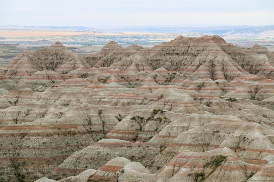 Sight · 2.1 mi awayBigfoot Pass OverlookPause for a broad view and a difficult chapter of Lakota history.
 Scenic pullout · 2.5 mi awayBurns Basin OverlookA short boardwalk opens onto Wilson Burns’s former sheep basin.
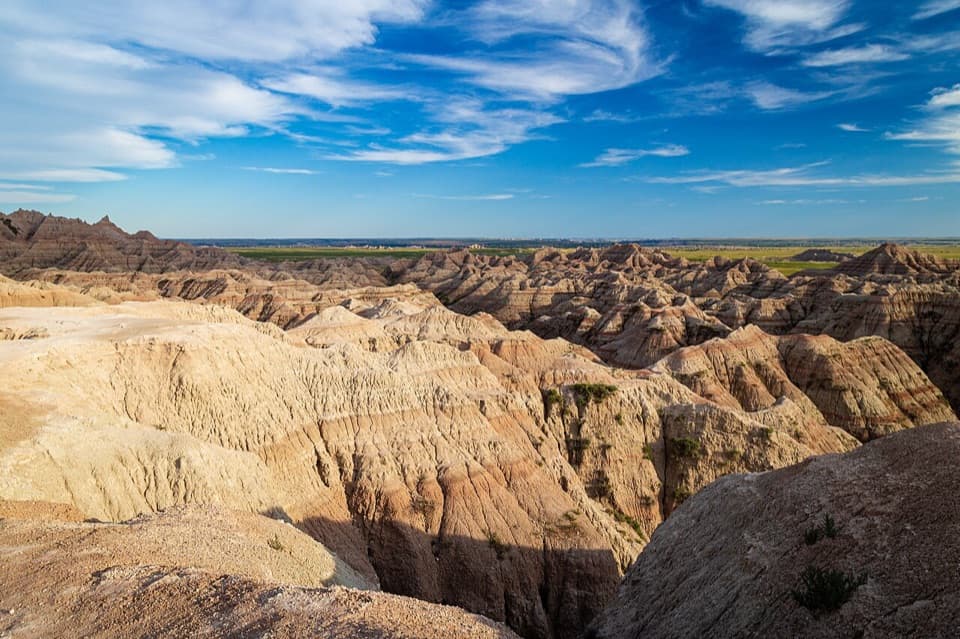 Sight · 2.8 mi awayWhite River Valley OverlookA quick pull-off to see layered badlands fall into the valley.
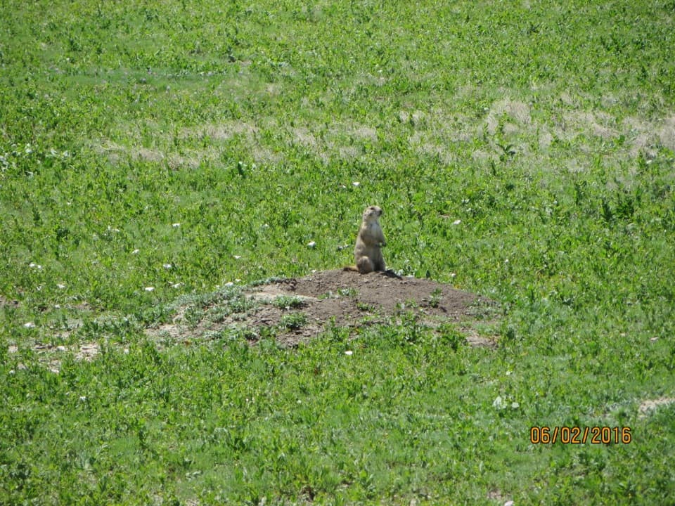 Sight · 3.8 mi awayQuinn Road Prairie Dog TownA roadside pause to hear and watch prairie dogs at their colony.
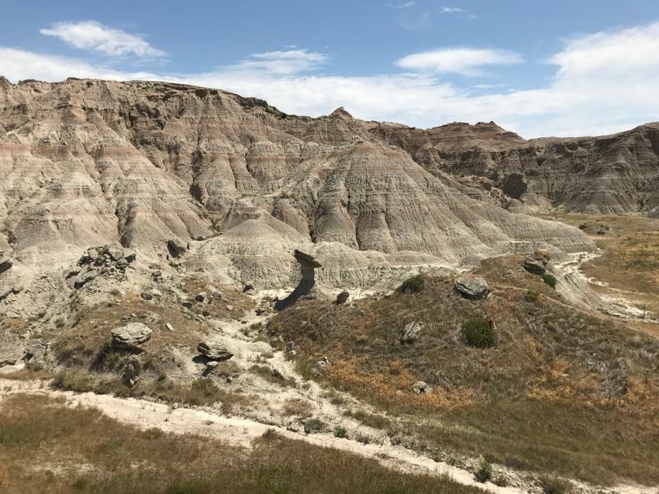 Sight · 4.4 mi awayToadstool RockA hard cap balances on a softer, eroding stone pillar.
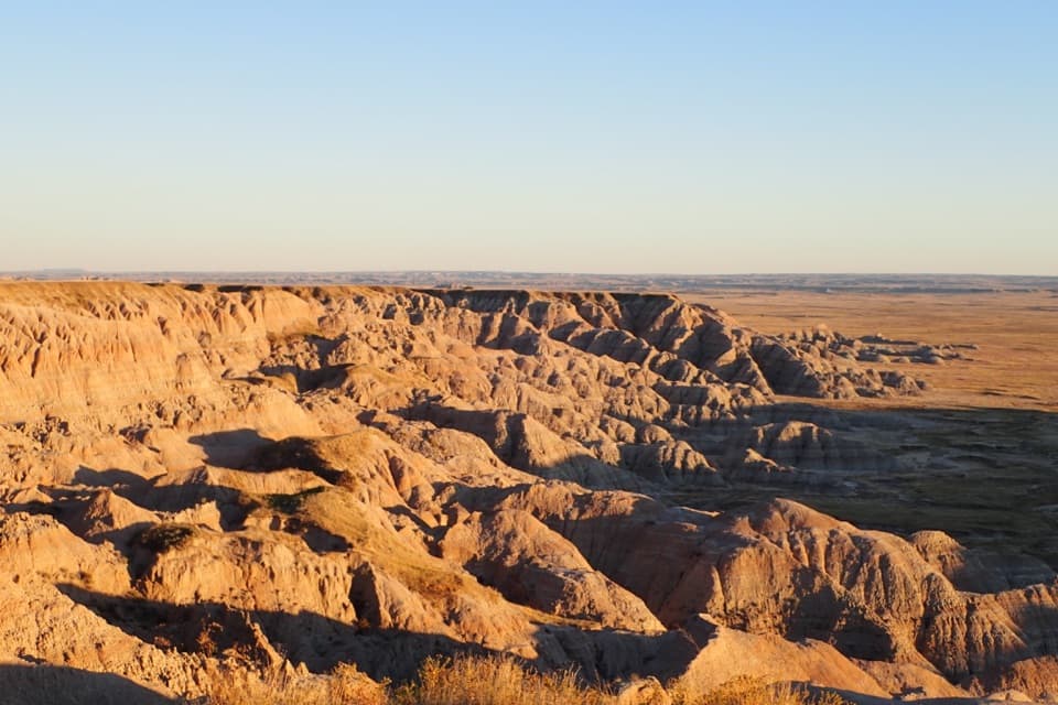 Sight · 4.8 mi awayHomestead OverlookEroded ridges, wide prairie, and a layered homestead story.
Parkwolf’s Badlands ranking

The audio tour guide for the drive, plus offline maps, trails, and wildlife heatmaps for when the signal drops.


