1 active Badlands alert
- ClosureNotch Trail closed for ladder repairsNotch Trail and all areas within 100 feet of the designated trail are closed; do not enter the closure area.Official details

#2 of 24 sights in Badlands
Sight · Badlands National Park
Red and gray bands make this a quick stop worth keeping.
Overview
Map
Plan your stop

The highest, rockiest slopes around here are a summer buffet for grizzly bears.
Badlands Tour Guide
Parkwolf is a GPS audio tour guide for Badlands National Park. As you drive, it chimes in with what’s ahead: hidden gems, upcoming stops, history, geology, and wildlife, right through your car’s speakers.
See the Badlands audio tourRecorded for this place
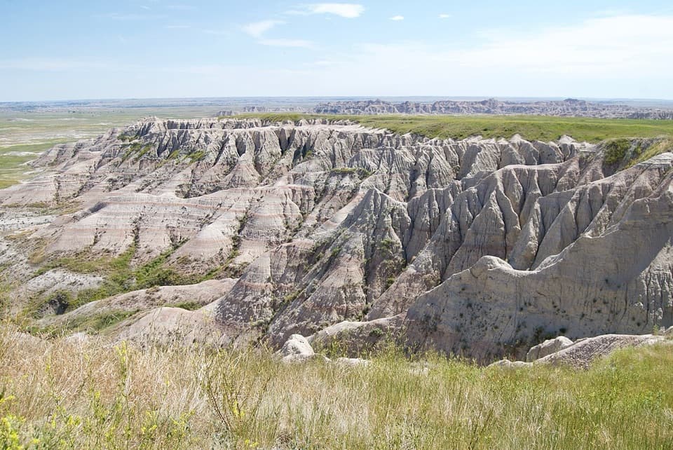
Big Badlands Overlook“Up ahead is Big Badlands Overlook, where a short walk from the parking area opens onto the eastern Badlands Wall. Stop here for a wide view without committing to a hike.”
Plays as you drive up to Big Badlands Overlook in the Parkwolf Badlands Tour Guide.
More stories near here in the app
“We recently toured Badlands, Custer State Park, Mount Rushmore and more! We learned so much from this app as we toured each of these sites. The audio tours are worth the money.”


Guide
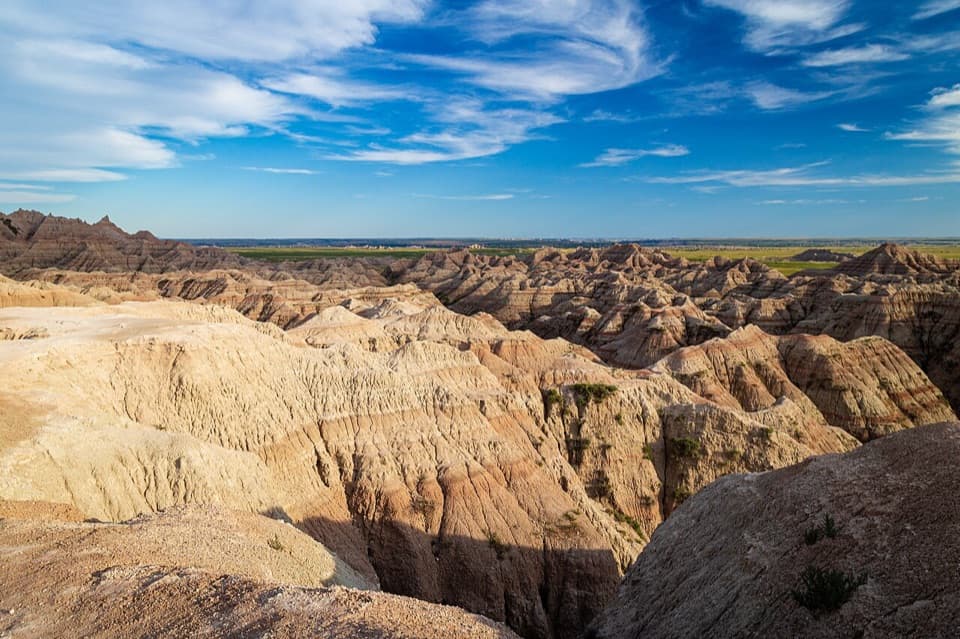
Big Badlands Overlook is a roadside viewpoint above the eastern Badlands Wall, where banded buttes and gullies fall away toward open prairie. It gives you a wide look at one of the park’s defining landscapes without a hike, so keep it if you’re choosing only a few overlooks. Visitors describe a short walk from the parking area to the view; the exact distance isn’t published. The rim is open and exposed, so keep a close eye on children.
Sunrise can bring out the red and gray bands, and it’s a good time to stop for photographs when the sky cooperates. Let some of the gullies sit in the foreground with the layered wall behind them; a tight crop can make the ridges look flatter than they feel. This overlook sits near the eastern end of Badlands Loop Road, so it makes a natural early stop when you enter from the Northeast Entrance.
The reddish stripes are the Scenic Member of the Brule Formation, laid down about 33.7 to 32 million years ago. The darker gray beds near the bottom are the older Peanut Peak Member of the Chadron Formation, about 35 to 33.7 million years old. Pick a band and follow it across the slope; the layers make the long history easier to see than a map ever could.
These rocks formed in very different environments. The older Chadron layers accumulated on a hot, wet floodplain; the Brule formed later in a cooler, drier open savanna. Alligators and brontotheres lived around the Chadron floodplain, while oreodonts and nimravids inhabited the Brule landscape. The scenery here is a record of habitats that disappeared long before the modern prairie took shape.
The Cheyenne and White Rivers began cutting through this landscape roughly half a million years ago. Erosion is still shaping the buttes and gullies; the park estimates the Badlands wear away by about an inch a year. That makes this broad view more than a snapshot of old rock: you’re looking at an active process.
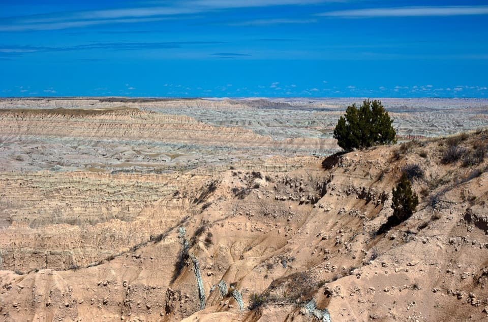
On a clear day, look toward the southeast horizon for Eagle Nest Butte near Wanblee. It’s a useful landmark beyond the closer ridges, though haze can hide it.
Wildlife
 760 sightingsBisonMost seen around 6 PMSighting map
 1,061 sightingsBighorn SheepMost seen around 6 AMSighting map
 906 sightingsPrairie DogMost seen around 5 PMSighting map
 333 sightingsPronghornMost seen around 6 AMSighting map
 304 sightingsMule DeerMost seen around 7 PMSighting map
 87 sightingsCoyoteMost seen around 7 PMSighting map
Sighting maps show where each species has been reported across Badlands. Wildlife moves, so no sighting is guaranteed.
Keep exploring
 EasyDoor Trail0.8 mi · 30 min · 2 mi awayBoardwalk through the Door, then a rough walk among eroded formations.
 ModerateCastle Trail5.1 mi · 3 hr · 2.2 mi awayTrade quick overlooks for a full east-west walk through rock and prairie.
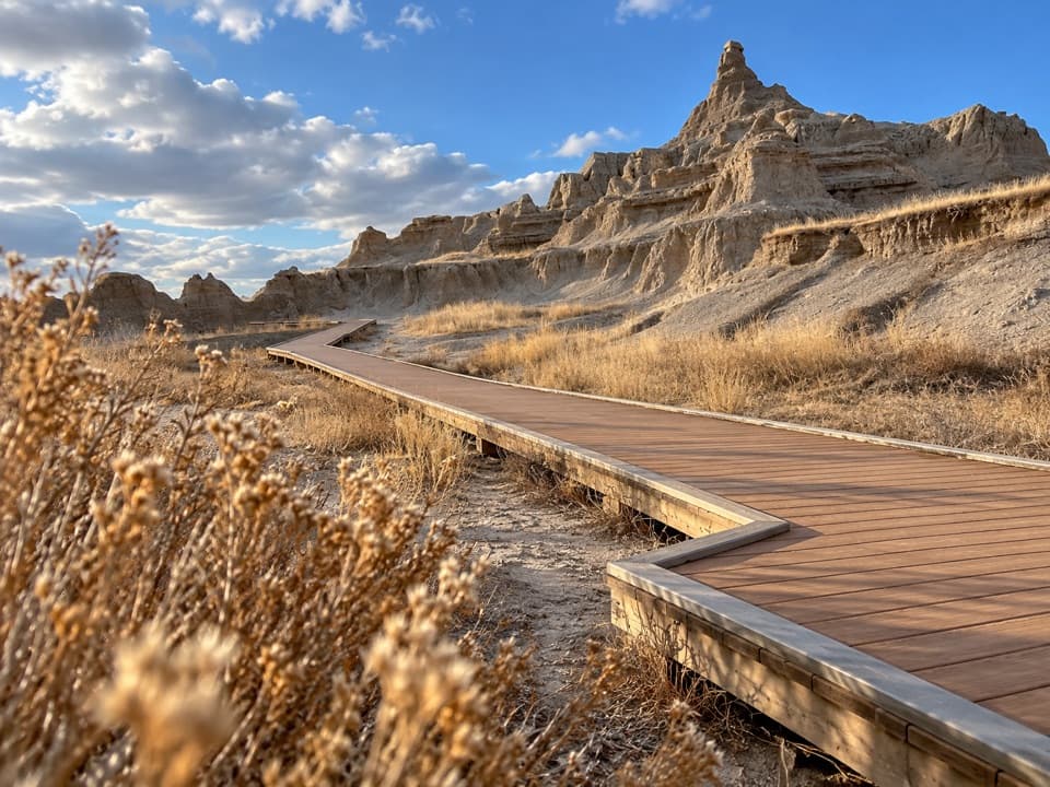 EasyWindow Trail0.3 mi · 20 min · 2.2 mi awayA short, accessible boardwalk to a window into an eroded canyon.
 ModerateNotch Trail1.3 mi · 1.8 hr · 2.2 mi awayA ladder climb earns a big look across the White River Valley.
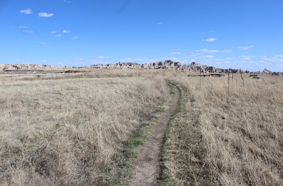 ModerateMedicine Root Loop Trail4.2 mi · 2.3 hr · 2.6 mi awayA rolling prairie loop with distant views of Badlands formations.
 ModerateCliff Shelf Nature Trail0.5 mi · 30 min · 2.8 mi awayA quick loop pairs juniper shade with views across layered formations.
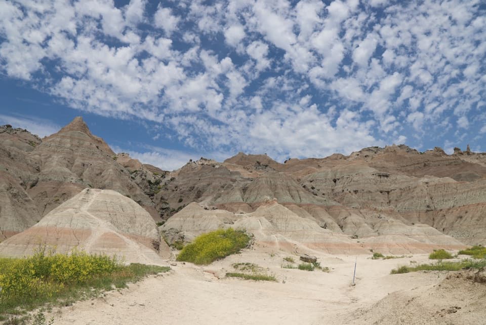 ChallengingSaddle Pass Trail0.7 mi · 40 min · 4.2 mi awayShort, steep climb to a broad White River Valley view.
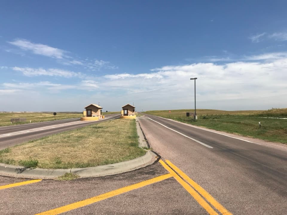 Entrance station · 0.3 mi awayNortheast Entrance StationMaps, permits, and a practical start at the northeast gate.
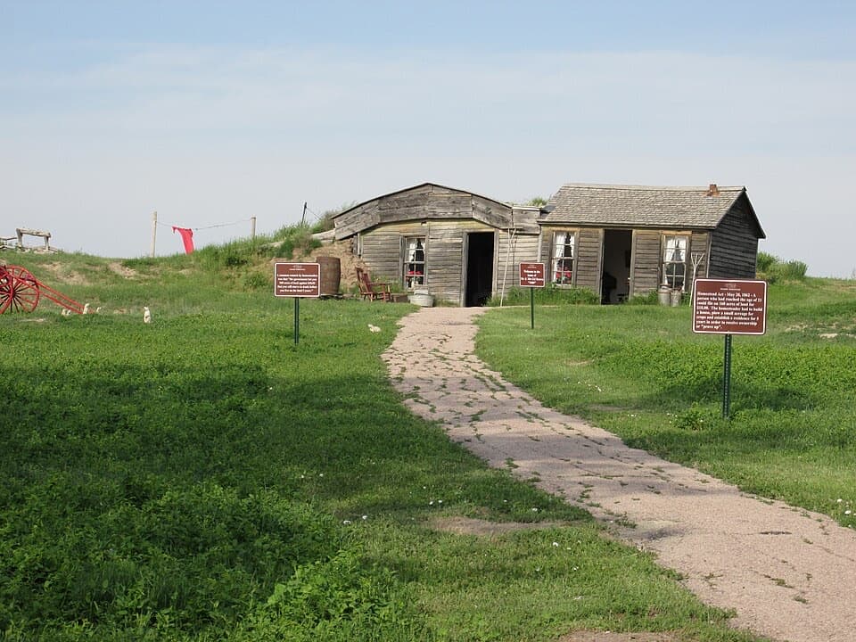 Sight · 1.2 mi awayPrairie HomesteadA 1909 sod homestead makes prairie settlement tangible.
 Visitor center · 3.2 mi awayBen Reifel Visitor CenterA strong first stop, especially when the fossil lab is working.
 Lodging · 3.4 mi awayCedar Pass LodgeHistoric cabins make this the Badlands' only in-park stay.
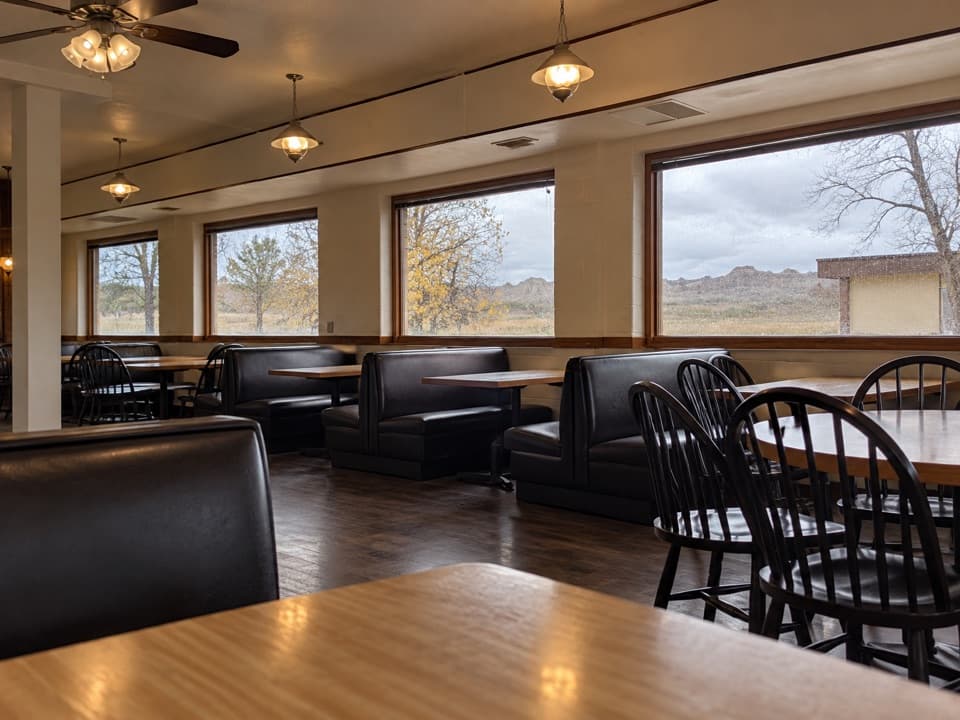 Restaurant · 3.4 mi awayWaysides at Cedar Pass LodgeA sit-down meal near the Ben Reifel Visitor Center.
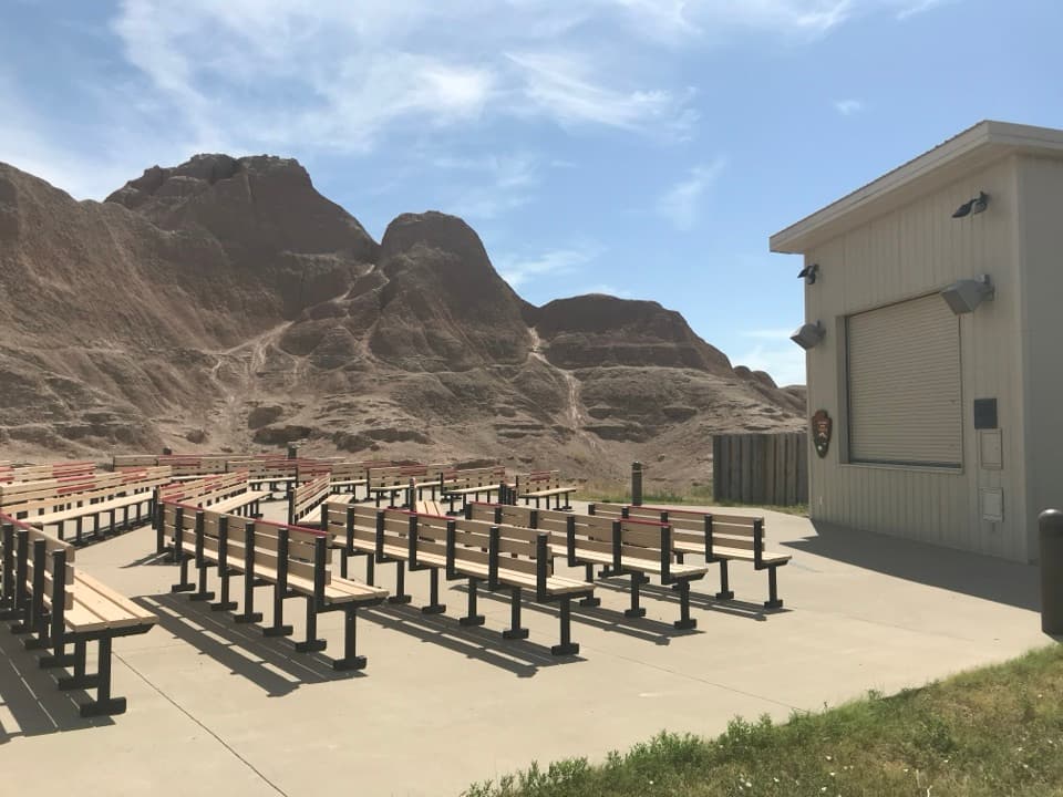 Sight · 3.5 mi awayCedar Pass AmphitheaterStay for a ranger-led night sky tour with a telescope.
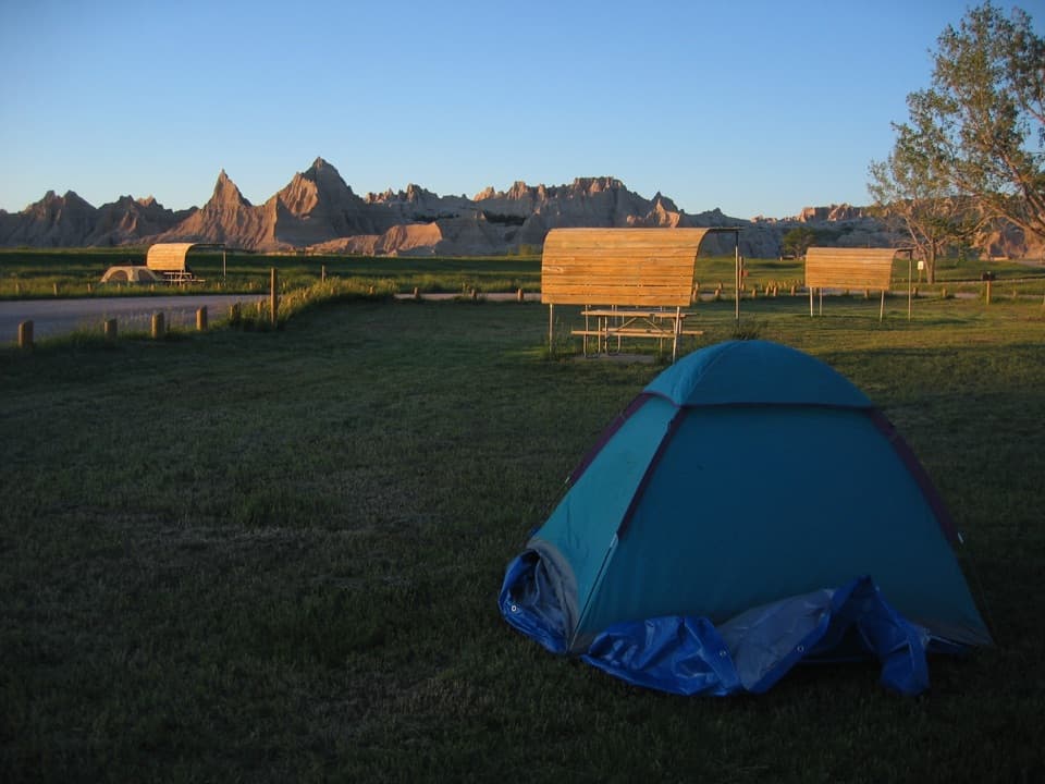 Campground · 3.8 mi awayCedar Pass CampgroundBadlands views, a walkable visitor center, and summer ranger programs.
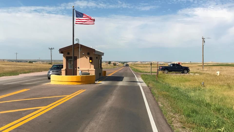 Entrance station · 4.1 mi awayInterior Entrance StationHandle park entry and pick up a map at the southern gate.
Parkwolf’s Badlands ranking

The audio tour guide for the drive, plus offline maps, trails, and wildlife heatmaps for when the signal drops.