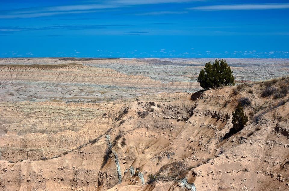
1 active Badlands alert
- ClosureNotch Trail closed for ladder repairsNotch Trail and all areas within 100 feet of the designated trail are closed; do not enter the closure area.Official details
#6 of 24 sights in Badlands
Sight · Badlands National Park
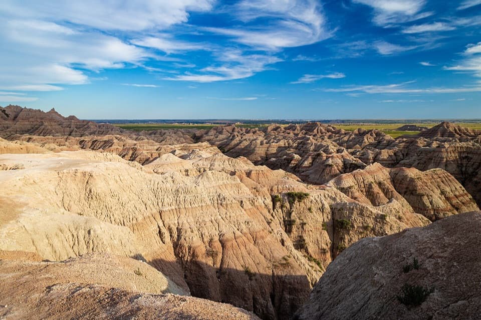
A quick pull-off to see layered badlands fall into the valley.
Overview
Map
Plan your stop

The highest, rockiest slopes around here are a summer buffet for grizzly bears.
Badlands Tour Guide
Parkwolf is a GPS audio tour guide for Badlands National Park. As you drive, it chimes in with what’s ahead: hidden gems, upcoming stops, history, geology, and wildlife, right through your car’s speakers.
See the Badlands audio tourRecorded for this place
White River Valley Overlook“You're approaching White River Valley Overlook, a quick roadside stop looking across the Castle formations toward open grassland.”
Plays as you drive up to White River Valley Overlook in the Parkwolf Badlands Tour Guide.
More stories near here in the app
“We recently toured Badlands, Custer State Park, Mount Rushmore and more! We learned so much from this app as we toured each of these sites. The audio tours are worth the money.”


Guide
White River Valley Overlook is a roadside pull-off on SD 240, part of Badlands Loop Road. Its broad view looks toward the Castle formations and down into White River Valley. I'd stop for a short look at this section of the Badlands, especially if you want a clear view of the park's layered geology without committing to a hike.
The nearer ridges are cut into pale, pink and gray bands, with the land opening into grassland farther out. This is a wide panorama rather than one single peak. For a photo, frame the close ridges against the valley; late afternoon can warm the rock and deepen the shadows, though the light changes with conditions.
The overlook is identified with the upper portion of the White River Group, a named rock sequence in the park. Look across the successive ridges to see the layers carried through the view.
This is a roadside view stop, with auto and bus/RV parking. The National Park Service marks accessible sites here, but the exact route and surface details aren't specified. Visitors sometimes mention walking farther for a different angle; no defined route is established, so plan around the overlook itself. There are many viewpoints along the Loop Road, so if time is tight, choose this one for its White River Group view rather than trying to stop at every pull-off.
Wildlife
 760 sightingsBisonMost seen around 6 PMSighting map
 1,061 sightingsBighorn SheepMost seen around 6 AMSighting map
 906 sightingsPrairie DogMost seen around 5 PMSighting map
 333 sightingsPronghornMost seen around 6 AMSighting map
 304 sightingsMule DeerMost seen around 7 PMSighting map
 87 sightingsCoyoteMost seen around 7 PMSighting map
Sighting maps show where each species has been reported across Badlands. Wildlife moves, so no sighting is guaranteed.
Keep exploring
 EasyFossil Exhibit Trail0.3 mi · 20 min · 1.9 mi awayA quick, accessible loop with tactile fossil replicas and layered views.
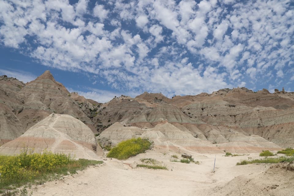 ChallengingSaddle Pass Trail0.7 mi · 40 min · 3.6 mi awayShort, steep climb to a broad White River Valley view.
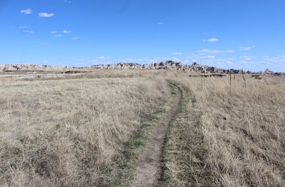 ModerateMedicine Root Loop Trail4.2 mi · 2.3 hr · 4.7 mi awayA rolling prairie loop with distant views of Badlands formations.
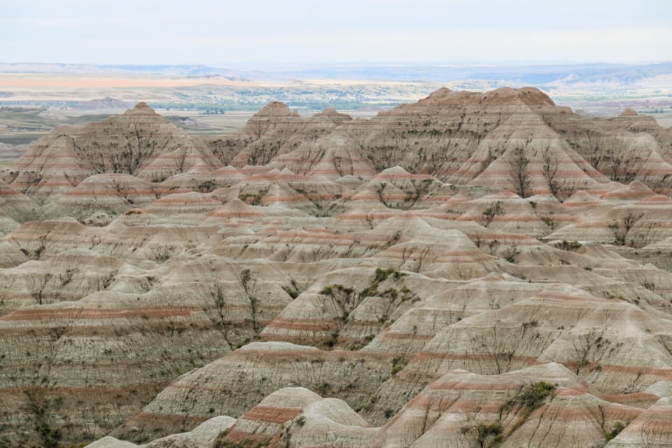 Sight · 0.8 mi awayBigfoot Pass OverlookPause for a broad view and a difficult chapter of Lakota history.
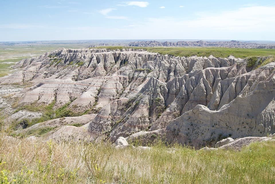 Sight · 1.5 mi awayPanorama Point OverlookA wide look across eroded ridges toward the White River Valley.
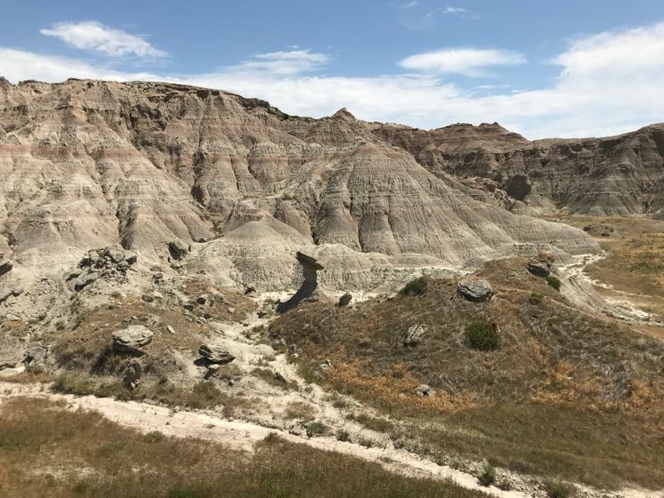 Sight · 2 mi awayToadstool RockA hard cap balances on a softer, eroding stone pillar.
 Sight · 2.8 mi awayPrairie Wind OverlookA breezy prairie pause between the park’s sculpted rock views.
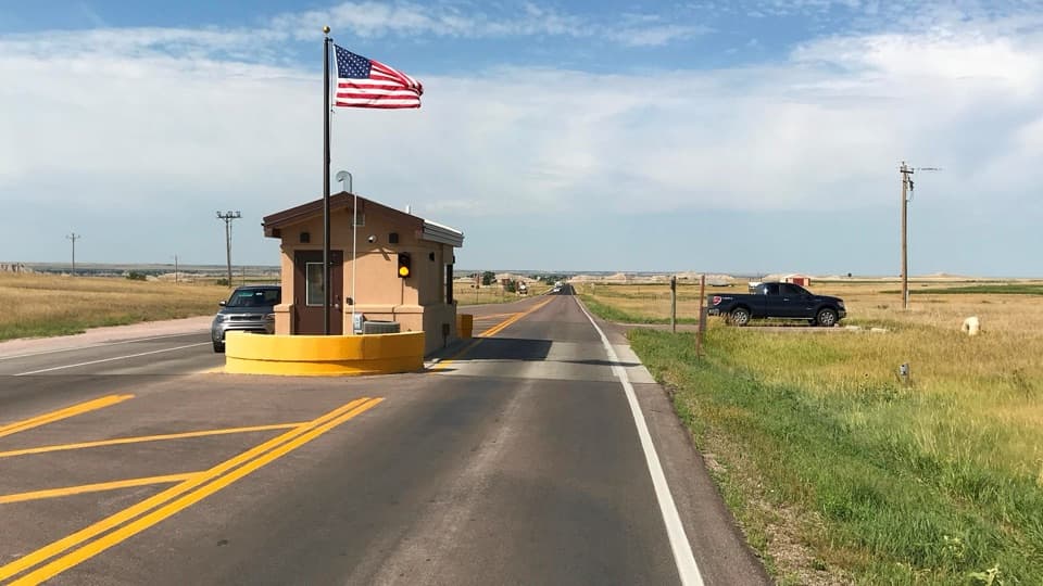 Entrance station · 5 mi awayInterior Entrance StationHandle park entry and pick up a map at the southern gate.
Parkwolf’s Badlands ranking

The audio tour guide for the drive, plus offline maps, trails, and wildlife heatmaps for when the signal drops.