1 active Badlands alert
- ClosureNotch Trail closed for ladder repairsNotch Trail and all areas within 100 feet of the designated trail are closed; do not enter the closure area.Official details
Sight · Badlands National Park
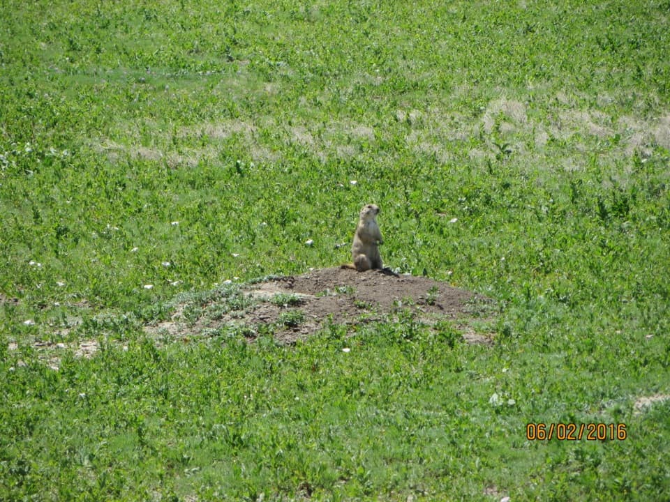
A roadside pause to hear and watch prairie dogs at their colony.
Overview
Map
Plan your stop

The highest, rockiest slopes around here are a summer buffet for grizzly bears.
Badlands Tour Guide
Parkwolf is a GPS audio tour guide for Badlands National Park. As you drive, it chimes in with what’s ahead: hidden gems, upcoming stops, history, geology, and wildlife, right through your car’s speakers.
See the Badlands audio tourRecorded for this place
Quinn Road Prairie Dog Town“You're approaching Quinn Road Prairie Dog Town, a chance for a short wildlife pause beside the Loop Road.”
Plays as you drive up to Quinn Road Prairie Dog Town in the Parkwolf Badlands Tour Guide.
More stories near here in the app
“We recently toured Badlands, Custer State Park, Mount Rushmore and more! We learned so much from this app as we toured each of these sites. The audio tours are worth the money.”


Guide
Quinn Road Prairie Dog Town is a prairie-dog colony beside the Badlands Highway 240 Loop Road. If you're already driving the loop, it's a good short pause to watch for animals among the low burrow mounds and listen for their sharp squeaks. For a photo, look for one sitting up on a mound; it gives the open grassland a clear focal point.
Prairie dogs use calls and body language to warn their neighbors about danger or signal when things are clear. Prairie dog colonies provide habitat for about 200 animal and plant species, so this one does more than add movement to the roadside grassland.
The stop has auto parking and a scenic view/photo spot. Pets are prohibited in areas with prairie-dog colonies, including this one. It's one of several prairie-dog towns in Badlands, so I'd treat it as a brief wildlife pause on the loop rather than a destination that needs its own detour.
Wildlife
 760 sightingsBisonMost seen around 6 PMSighting map
 1,060 sightingsBighorn SheepMost seen around 6 AMSighting map
 904 sightingsPrairie DogMost seen around 5 PMSighting map
 333 sightingsPronghornMost seen around 6 AMSighting map
 304 sightingsMule DeerMost seen around 7 PMSighting map
 87 sightingsCoyoteMost seen around 7 PMSighting map
Sighting maps show where each species has been reported across Badlands. Wildlife moves, so no sighting is guaranteed.
Keep exploring
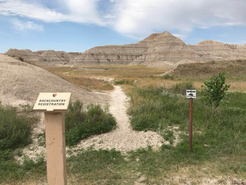 ModerateDeer Haven Trail6 mi · 4.5 hr · 2.7 mi awaySix miles round trip on unmarked paths to a green juniper basin.
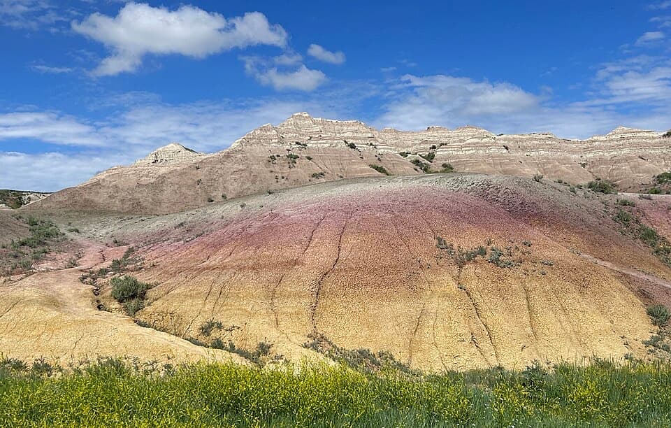 EasyYellow Mounds Overlook Trail0.1 mi · 18 min · 2.8 mi awayWalk a short path through yellow, purple, gray and red striped hills.
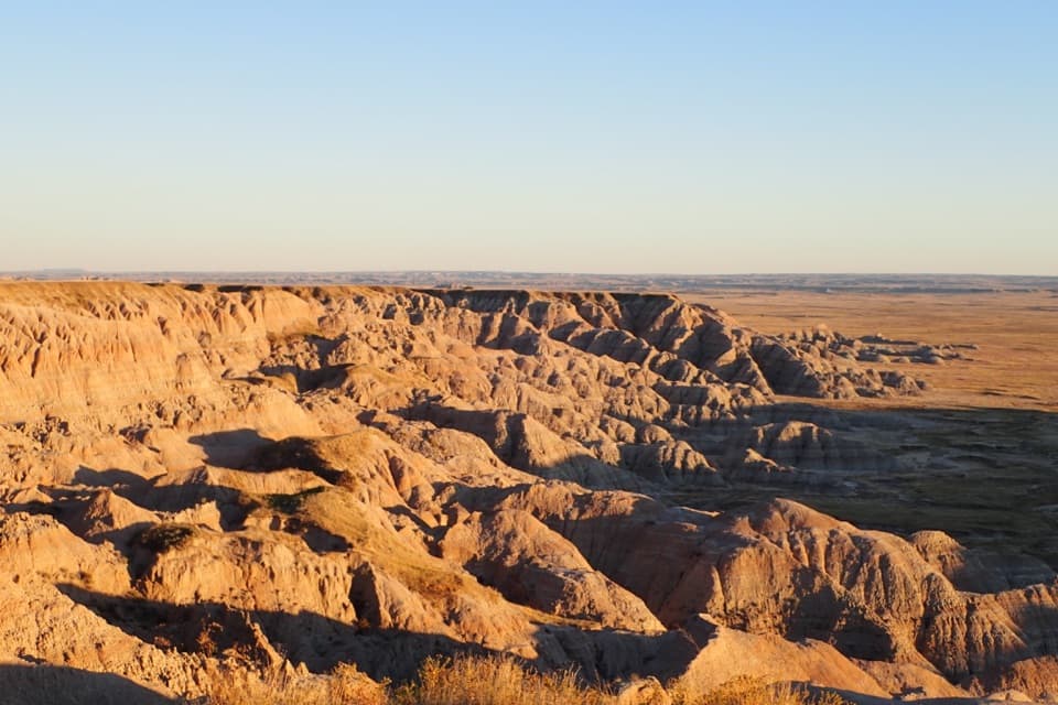 Sight · 1.1 mi awayHomestead OverlookEroded ridges, wide prairie, and a layered homestead story.
 Scenic pullout · 1.2 mi awayBurns Basin OverlookA short boardwalk opens onto Wilson Burns’s former sheep basin.
 Sight · 2.6 mi awayConata Basin OverlookTwo ancient soils turn a quick roadside stop into a geologic lesson.
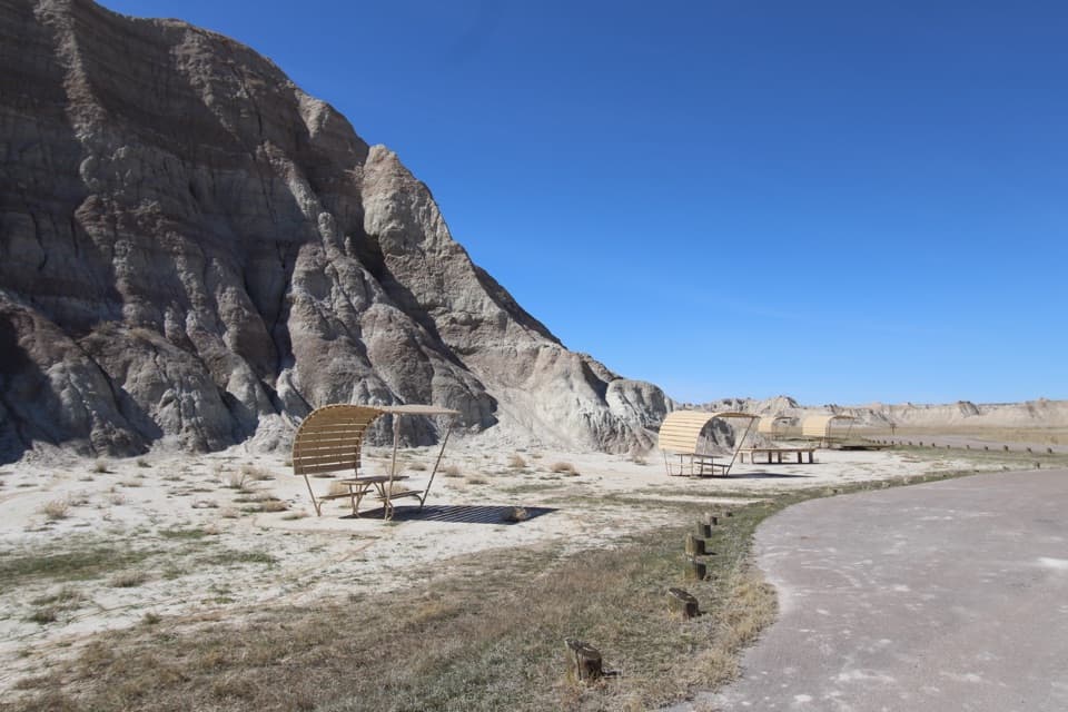 Picnic area · 2.6 mi awayConata Picnic AreaSheltered tables and a backcountry trailhead off the main loop.
 Sight · 2.8 mi awayYellow Mounds OverlookA quick roadside stop for colors you won't see at most overlooks.
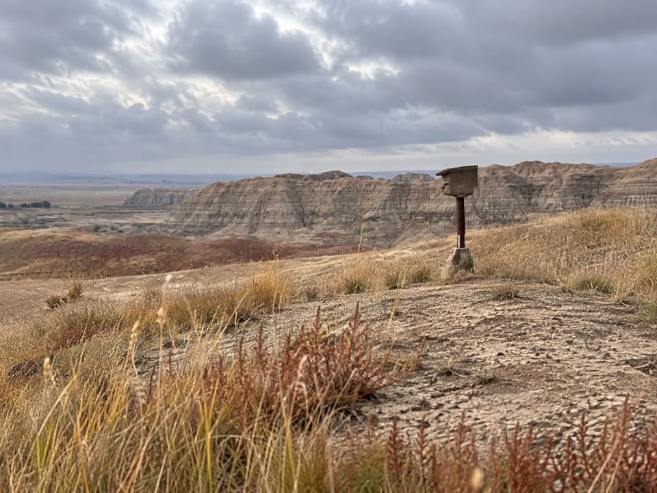 Sight · 3 mi awayErosion MarkersSurvey markers make slow erosion visible on a clay slope.
 Sight · 3.8 mi awayPrairie Wind OverlookA breezy prairie pause between the park’s sculpted rock views.
Parkwolf’s Badlands ranking

The audio tour guide for the drive, plus offline maps, trails, and wildlife heatmaps for when the signal drops.